Bandokoro Falls
番所大滝
A powerful 40-meter waterfall at the base of Mount Norikura, easily accessible via a short but steep forest trail.
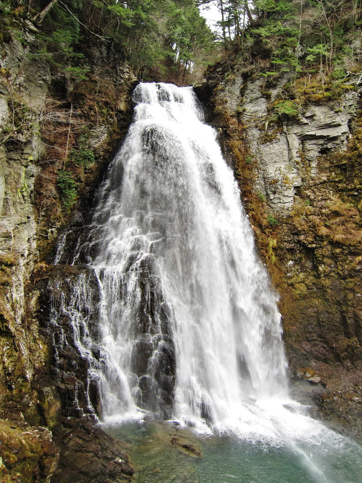
What it is
- One of the Norikura Three Falls located at the base of Mount Norikura.
- A natural waterfall measuring 40 meters high and 15 meters wide.
- A scenic destination in Matsumoto City within the Nagano Prefecture mountains.
What to see
- The main 40-meter drop known as Bandokoro Otaki.
- Bandokoro Kotaki which is a smaller waterfall located upstream.
- The Sengenbuchi walking path situated above the main falls.
- Azumi Shrine located a short distance downstream from the site.
- Maple trees that surround the falls and walking paths.
When to go
- October is the best time to see the autumn maple colors.
Getting there
- Take an Alpico Kotsu bus to the Bandokoro Otaki bus stop.
- A steep walking path leads from the road to the falls in five minutes.
- Parking and restrooms are available near the prefectural road.
Notes written by Japan Gems from facts in Japanese Wikipedia.
Where it is
Bandokoro Falls Open in Google Maps
この施設の関係者の方へ
このページは公開情報をもとに Japan Gems が作成し、訪日外国人向けに英語で掲載しています。 写真や情報の追加・修正を承っています。お店の写真に差し替えることもできます。
このページの情報を更新する