Etchū Komagatake
越中駒ヶ岳
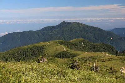
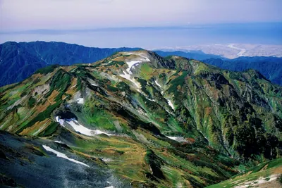
A 2,002-meter peak in the Tateyama Range featuring historic mining ruins and panoramic views of the Northern Alps.
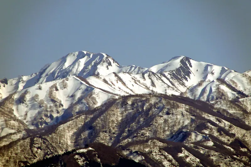
What it is
- A 2,002-meter mountain located on the border of Uozu and Kurobe in Toyama Prefecture.
- The northernmost peak of the Tateyama Range within Chubu Sangaku National Park.
- The headwater source for the Katakai River named after a seasonal horse-shaped snow pattern.
- Site of a 1944 Japanese Army molybdenum mining operation.
What to see
- A horse-shaped snow patch that appears on the slopes during the spring season.
- Abandoned mining machinery remains located along the mountain trails.
- Panoramic views of Mount Kekachi and Mount Tsurugi from the summit.
- The Katakai Mountain Villa which provides unmanned lodging for climbers.
- A 2.7 kilometer hiking trail extending from the neighboring Mount Soga.
When to go
- Spring is the best time to see the distinctive horse-shaped snow pattern.
Notes written by Japan Gems from facts in Japanese Wikipedia.
Where it is
Etchū Komagatake Open in Google Maps
この施設の関係者の方へ
このページは公開情報をもとに Japan Gems が作成し、訪日外国人向けに英語で掲載しています。 写真や情報の追加・修正を承っています。お店の写真に差し替えることもできます。
このページの情報を更新する