Mikurigaike
ミクリガ池
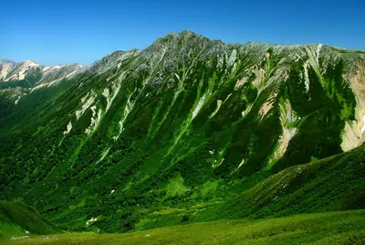
A high-altitude volcanic crater lake in the Northern Alps known for its deep blue water and surrounding mountain scenery.
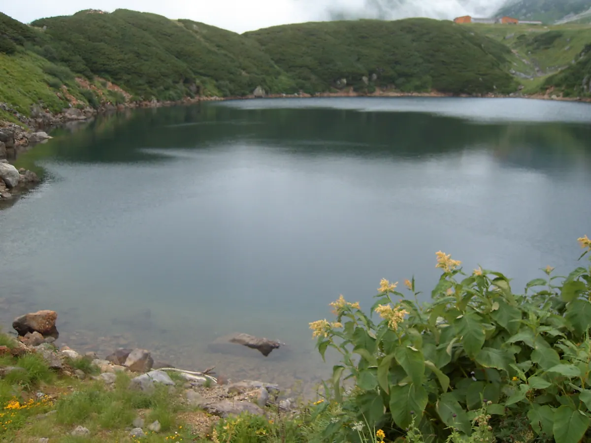
What it is
- A volcanic crater lake located at an elevation of 2,405 meters in Tateyama.
- The largest and deepest pond in the Murodo area of Chubu Sangaku National Park.
- A natural habitat for rock ptarmigans situated near a mountain hot spring.
What to see
- Deep blue water covering an area of approximately 30,000 square meters.
- The Mikurigaike Onsen located on the northwestern shore of the pond.
- Native rock ptarmigans that live in the surrounding alpine environment.
- A frozen landscape during the spring snow season.
When to go
- Spring to see the pond while it remains frozen under the snow.
Getting there
- Walk 500 meters northwest from Murodo Station to reach the shore.
Notes written by Japan Gems from facts in Japanese Wikipedia.
Where it is
Mikurigaike Open in Google Maps
この施設の関係者の方へ
このページは公開情報をもとに Japan Gems が作成し、訪日外国人向けに英語で掲載しています。 写真や情報の追加・修正を承っています。お店の写真に差し替えることもできます。
このページの情報を更新する