Mount Akasawa
赤沢岳
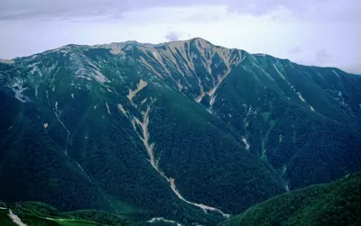
A 2,677-meter peak in the Ushiro-Tateyama range offering rugged climbing routes and views of Kurobe Lake for experienced hikers.
What it is
- A mountain peak standing at an elevation of 2677.8 meters.
- Part of the Ushiro-Tateyama Mountain Range in Toyama and Nagano prefectures.
- Recognized by the Toyama Mountaineering Federation as a top mountain.
- Located 2.5 kilometers north of Mount Harinoki.
What to see
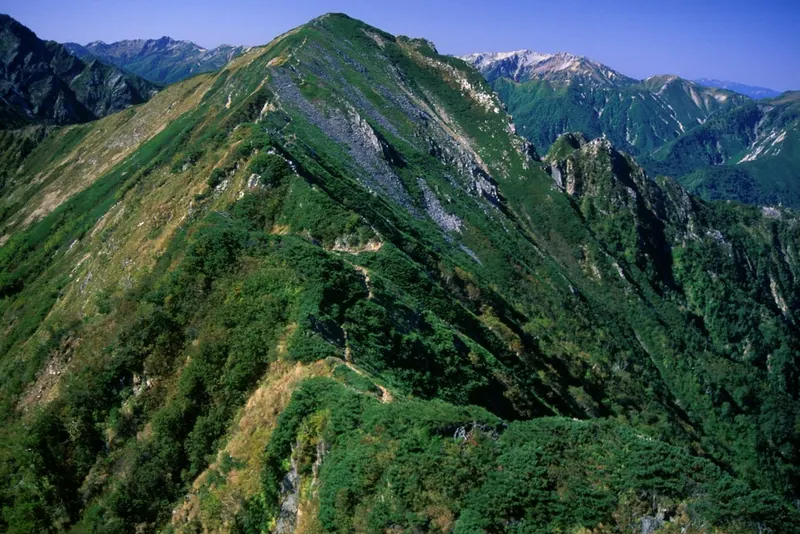
- A summit area consisting of a rubble zone with Siberian dwarf pine.
- Views of Kurobe Lake visible from the mountain peak.
- A distinct rock formation called Cat Ears at 2533 meters.
- A rocky climbing route along the western ridge leading to the lake.
Getting there
- The shortest hiking route starts from Ogizawa Station.
- The climb to the summit takes approximately eight hours from the station.
- The trail passes through the Harinoki Pass to reach the peak.
Notes written by Japan Gems from facts in Japanese Wikipedia.
Where it is
Mount Akasawa Open in Google Maps
この施設の関係者の方へ
このページは公開情報をもとに Japan Gems が作成し、訪日外国人向けに英語で掲載しています。 写真や情報の追加・修正を承っています。お店の写真に差し替えることもできます。
このページの情報を更新する