Mount Hachi
鉢ヶ岳
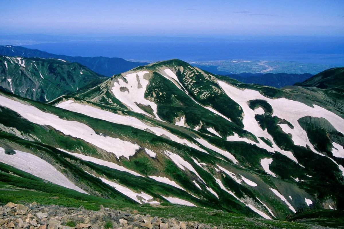
A 2,563-meter peak in the Hida Mountains offering alpine flora and rugged trails between Toyama and Niigata prefectures.
What it is
- A mountain standing 2,563 meters above sea level in the Hida Mountains.
- A peak on the Ushiro-Tateyama range straddling Toyama and Niigata prefectures.
- A destination connected by routes to Asahi-dake, Yukikura-dake, and Mount Shirouma.
What to see
- Alpine flowers including Trollius ranunculoides and Anemone narcissiflora on the eastern slope.
- Views from the main trail which bypasses the summit on the east.
- Nearby mountain facilities including the unmanned Yukikura-dake hut and Shirouma Sanso.
- The neighboring peak of Mount Shirouma rising to 2,932 meters.
Getting there
- Access the mountain from Renge Onsen by traveling via Kozando.
- Follow the trail leading from Mount Shirouma through Mikuni-sakai.
Notes written by Japan Gems from facts in Japanese Wikipedia.
Where it is
Mount Hachi Open in Google Maps
この施設の関係者の方へ
このページは公開情報をもとに Japan Gems が作成し、訪日外国人向けに英語で掲載しています。 写真や情報の追加・修正を承っています。お店の写真に差し替えることもできます。
このページの情報を更新する