Mount Koma
高麗山
A 168-meter mountain in Kanagawa featuring a historic shrine, diverse plant life, and views famously depicted in ukiyo-e art.

What it is
- A 168-meter mountain located within the Mount Koma Prefectural Forest in Kanagawa.
- Named after ancient settlers from the kingdom of Goguryeo who inhabited the area.
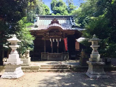
- The site of Takaku Shrine, which stands where the former Korai-ji Temple once existed.
- A historic landscape featured in Utagawa Hiroshige's The Fifty-three Stations of the Tokaido.
What to see
- Takaku Shrine located on the grounds of a former Buddhist temple.
- A diverse forest containing approximately 500 different species of plants.
- The eastern end of the Oiso Hills with views of the surrounding region.
- Hiking trails that connect the mountain summit to Oiso and Shonandaira.
Getting there
- The mountain summit is a 30-minute walk from Shonandaira.
- Hiking trails provide access to the mountain from Takaku Shrine and Oiso.
Notes written by Japan Gems from facts in Japanese Wikipedia.
Where it is
Mount Koma Open in Google Maps
この施設の関係者の方へ
このページは公開情報をもとに Japan Gems が作成し、訪日外国人向けに英語で掲載しています。 写真や情報の追加・修正を承っています。お店の写真に差し替えることもできます。
このページの情報を更新する