Mount Kusatsu-Shirane
草津白根山
A 2,160-meter active volcanic complex featuring a striking milky blue-green acidic crater lake and high-altitude hiking trails.
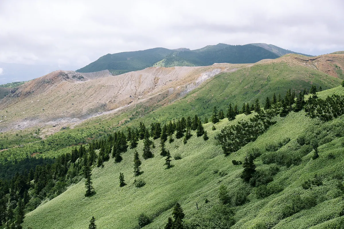
What it is
- An active volcanic complex consisting of multiple pyroclastic cones reaching 2,171 meters.
- The site of former sulfur mining operations that continued until around 1960.
- A monitored geological area subject to volcanic alert levels set by the Meteorological Agency.
What to see
- The Yugama crater lake featuring a 300-meter diameter and milky blue-green water.
- Highly acidic lake water with a pH level of approximately 1.0.
- Mount Motoshirane, the highest peak in the complex at 2,171 meters.
- The rugged volcanic landscape formed by various pyroclastic cones.
Getting there
- Access the mountain area via National Route 292.
Notes written by Japan Gems from facts in Japanese Wikipedia.
Where it is
Mount Kusatsu-Shirane Open in Google Maps
この施設の関係者の方へ
このページは公開情報をもとに Japan Gems が作成し、訪日外国人向けに英語で掲載しています。 写真や情報の追加・修正を承っています。お店の写真に差し替えることもできます。
このページの情報を更新する