Mount Ryūō
龍王岳
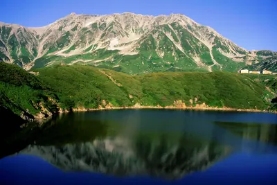
A 2,872-meter peak in the Tateyama Range offering 360-degree views and glacial features for hikers near Murodo.
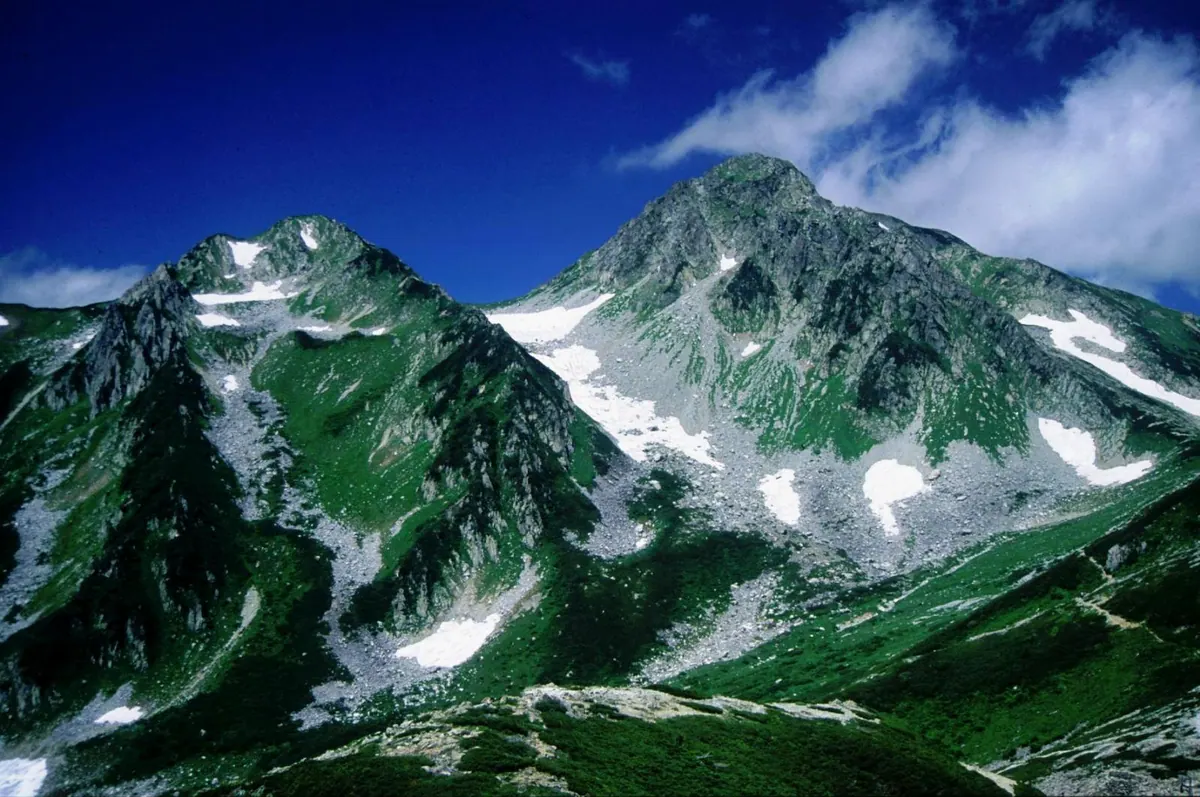
What it is
- A 2,872-meter mountain peak located within the Tateyama Mountain Range in Toyama.
- The thirty-eighth tallest mountain in Japan and one of the One Hundred Mountains of Toyama.
- Named after the Dragon King, a protector of Buddhism in local tradition.
- Enshrines the deities Ame-no-mikubari-no-kami and Kuni-no-mikubari-no-kami.
What to see
- A panoramic three-hundred-sixty degree view from the summit.
- Small glacial cirques located on both the east and west sides of the mountain.
- Ryuo Lake, a small glacial lake situated on the Kurobe River side.
- A northern snow valley that serves as the water source for Ichinokoshi Sanso.
Getting there
- Approximately ninety minutes of hiking to reach the summit from Murodo.
Notes written by Japan Gems from facts in Japanese Wikipedia.
Where it is
Mount Ryūō Open in Google Maps
この施設の関係者の方へ
このページは公開情報をもとに Japan Gems が作成し、訪日外国人向けに英語で掲載しています。 写真や情報の追加・修正を承っています。お店の写真に差し替えることもできます。
このページの情報を更新する