Mount Takamagahara
高天原山
A 1,978-meter peak in the Chichibu Mountains known as the site of the 1985 Japan Airlines Flight 123 crash.
What it is
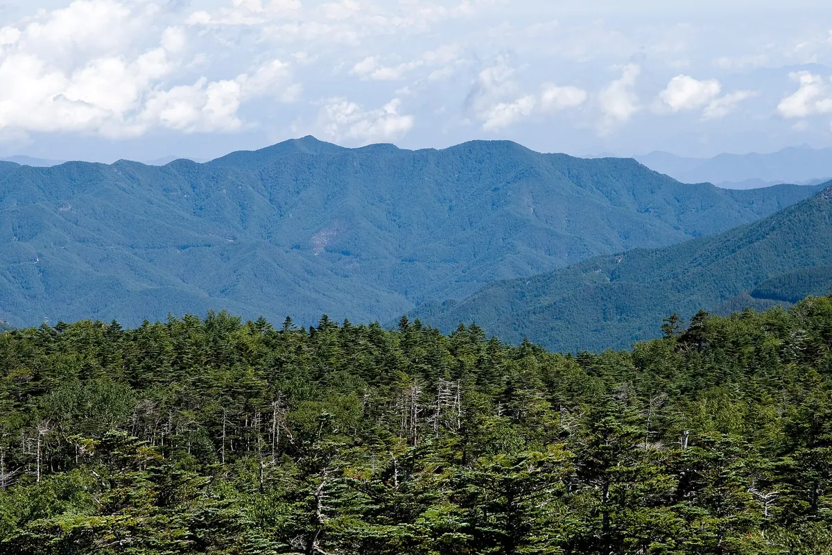
- A 1,978-meter mountain standing on the border of Gunma and Nagano prefectures.
- Part of the northern Chichibu Mountains near the Ueno Dam.
- The location of the Japan Airlines Flight 123 crash on a northeastern ridge.
- Known locally by several names including Arigamine, Shonami no Atama, and Mount Kandate.
What to see
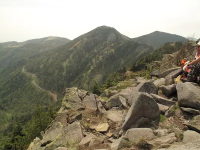
- The crash site located on the Osutaka no One ridge at 1,565 meters elevation.
- A second-class triangulation point positioned at the mountain summit.
- Views of the adjacent Mount Osutaka from the ridges.
Notes written by Japan Gems from facts in Japanese Wikipedia.
Where it is
Mount Takamagahara Open in Google Maps
この施設の関係者の方へ
このページは公開情報をもとに Japan Gems が作成し、訪日外国人向けに英語で掲載しています。 写真や情報の追加・修正を承っています。お店の写真に差し替えることもできます。
このページの情報を更新する