Mount Tō
塔ノ岳
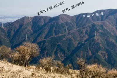
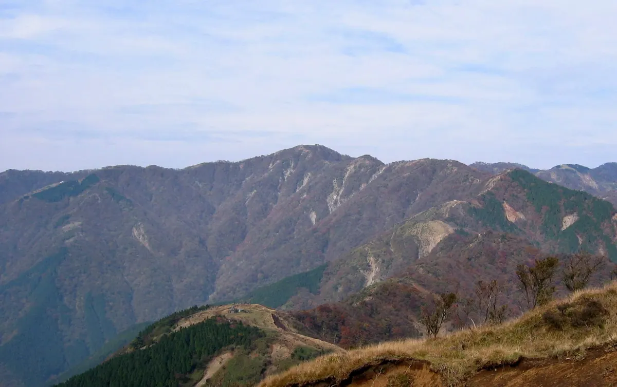
A popular 1,491-meter peak in Tanzawa-Oyama Quasi-National Park offering panoramic views of Mount Fuji and the Izu Peninsula.
What it is
- A 1,491-meter mountain peak located in the southern Tanzawa Mountains.
- Part of the Tanzawa-Oyama Quasi-National Park on the border of three municipalities.
- The mountain name originates from a stone pagoda that formerly stood on the site.
- Ranked as the fourth most climbed mountain in Japan during 2023.
What to see
- A 360-degree panoramic view of Mount Fuji and the Izu Peninsula from the summit.
- The Sonbutsu Sanso mountain hut located directly at the peak.
- Wild deer that frequently graze on the vegetation near the summit area.
- The Fudo-no-shimizu spring situated near the summit ridge.
- The site where the Sonbutsu-iwa rock stood before the 1924 Tanzawa earthquake.
Getting there
- Common climbing routes to the summit begin from Okura.
- Alternative hiking trails to the peak start from Yabitsu Pass.
Notes written by Japan Gems from facts in Japanese Wikipedia.
Where it is
Mount Tō Open in Google Maps
この施設の関係者の方へ
このページは公開情報をもとに Japan Gems が作成し、訪日外国人向けに英語で掲載しています。 写真や情報の追加・修正を承っています。お店の写真に差し替えることもできます。
このページの情報を更新する