Mount Tonbi
鳶山
A 2,616-meter peak in the Hida Mountains known for a massive historic landslide and views of the Tateyama Caldera.
What it is
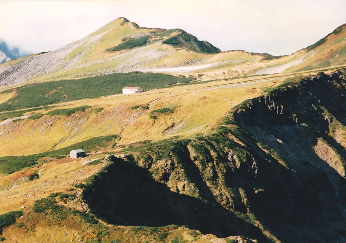
- A mountain peak reaching an elevation of 2,616 meters in the Hida Mountain Range.
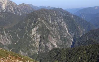
- The site of a massive landslide caused by the 1858 Hietsu earthquake.
- A natural source for the Kurobe River located between Washidake and Goshikigahara.
- The original peaks were completely destroyed by seismic activity in the nineteenth century.
What to see
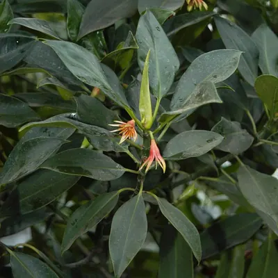
- Dwarf stone pine growing near the summit forest limit.
- The Zara Pass saddle located to the north of the mountain.
- Sediment from the historic collapse flowing into the Tateyama Caldera.
- Ongoing erosion control work visible within the caldera area.
- Goshikigahara Sanso, a mountain hut located in the vicinity.
Notes written by Japan Gems from facts in Japanese Wikipedia.
Where it is
Mount Tonbi Open in Google Maps
この施設の関係者の方へ
このページは公開情報をもとに Japan Gems が作成し、訪日外国人向けに英語で掲載しています。 写真や情報の追加・修正を承っています。お店の写真に差し替えることもできます。
このページの情報を更新する