Shiraito Falls
白糸の滝
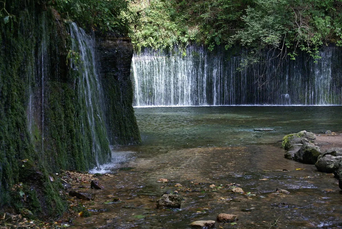
A wide, curved waterfall in Karuizawa fed by groundwater that takes six years to filter through Mount Asama.
What it is
- A subterranean stream waterfall measuring three meters high and seventy meters wide
- The source of the Yukawa River located at an elevation of 1260 meters
- Formed by the 1783 eruption of Mount Asama with a garden-like appearance from the Showa era
- The type locality for the geological Shiraito pumice layer
What to see
- Groundwater flowing directly from the rock face like thin white threads
- Projection mapping events displayed across the water surface during summer nights
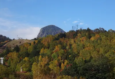
- The surrounding forest landscape that changes with the seasons
When to go
- Summer nights to witness the scheduled projection mapping events
Getting there
- Accessible by taking a local bus from Karuizawa Station
Notes written by Japan Gems from facts in Japanese Wikipedia.
Where it is
Shiraito Falls Open in Google Maps
この施設の関係者の方へ
このページは公開情報をもとに Japan Gems が作成し、訪日外国人向けに英語で掲載しています。 写真や情報の追加・修正を承っています。お店の写真に差し替えることもできます。
このページの情報を更新する