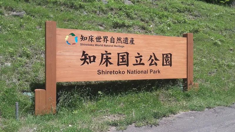
Shiretoko National Park
知床国立公園
Shiretoko National Park is a wilderness area with unique wildlife and drift ice viewing opportunities.
What it is
- Vast wilderness on the Shiretoko Peninsula.
- Designated a World Natural Heritage site in 2005.
- Known as “the end of the Earth” by the Ainu people.
What to see
- Abundance of brown bears.
- Home to the Blakiston’s Fish Owl.
- Drift ice along the coast in winter.
- Shiretoko mountain range.
When to go
- Winter to see drift ice.
- Winter for ice cruises.
In detail
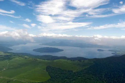
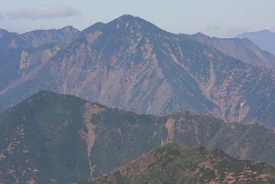
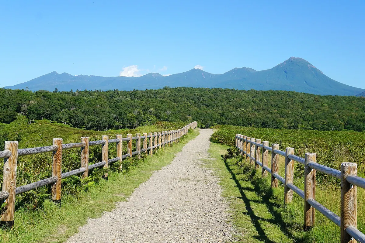
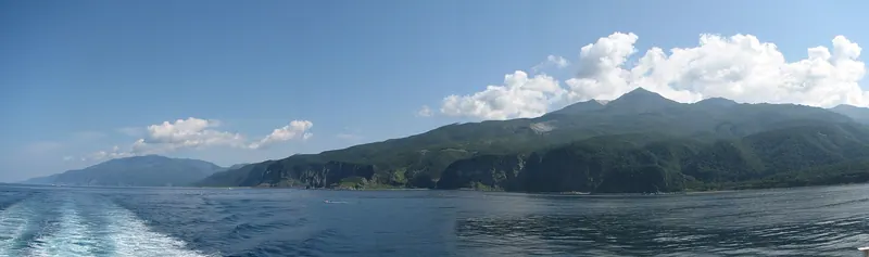
Shiretoko National Park (609.89 sq km) is a vast wilderness on the Shiretoko Peninsula, along the Shiretoko mountain range. The indigenous Ainu people referred to this area as sir-etok, or “the end of the Earth.”
The peninsula was designated a World Natural Heritage site in 2005 for its irreplaceable wildlife habitats and biodiversity. Today Shiretoko has an abundance of brown bears and is home to the Blakiston’s Fish Owl.
In winter, large amounts of drift ice arrive at the Shiretoko coast. The ice comes from the Amur River in Russia, which feeds into the Sea of Okhotsk. As the river reaches the sea, the ice that covers it for much of winter is broken into chunks by strong winds and currents and carried to the northern coast of Hokkaido. The park is one of the southernmost regions for where this “drift ice” can be observed in the Northern Hemisphere, and several local tour companies offer ice cruises.
Text: 観光庁 地域観光資源の多言語解説文データベース. Reproduced unchanged. The notes above were written from that text by Japan Gems.
More photos


Where it is
Shiretoko National Park Open in Google Maps
この施設の関係者の方へ
このページは公開情報をもとに Japan Gems が作成し、訪日外国人向けに英語で掲載しています。 写真や情報の追加・修正を承っています。お店の写真に差し替えることもできます。
このページの情報を更新する