1839 Metre Summit
1839峰
A prominent peak in Hokkaido's Hidaka Mountain Range offering a challenging multi-day trek within a national park.
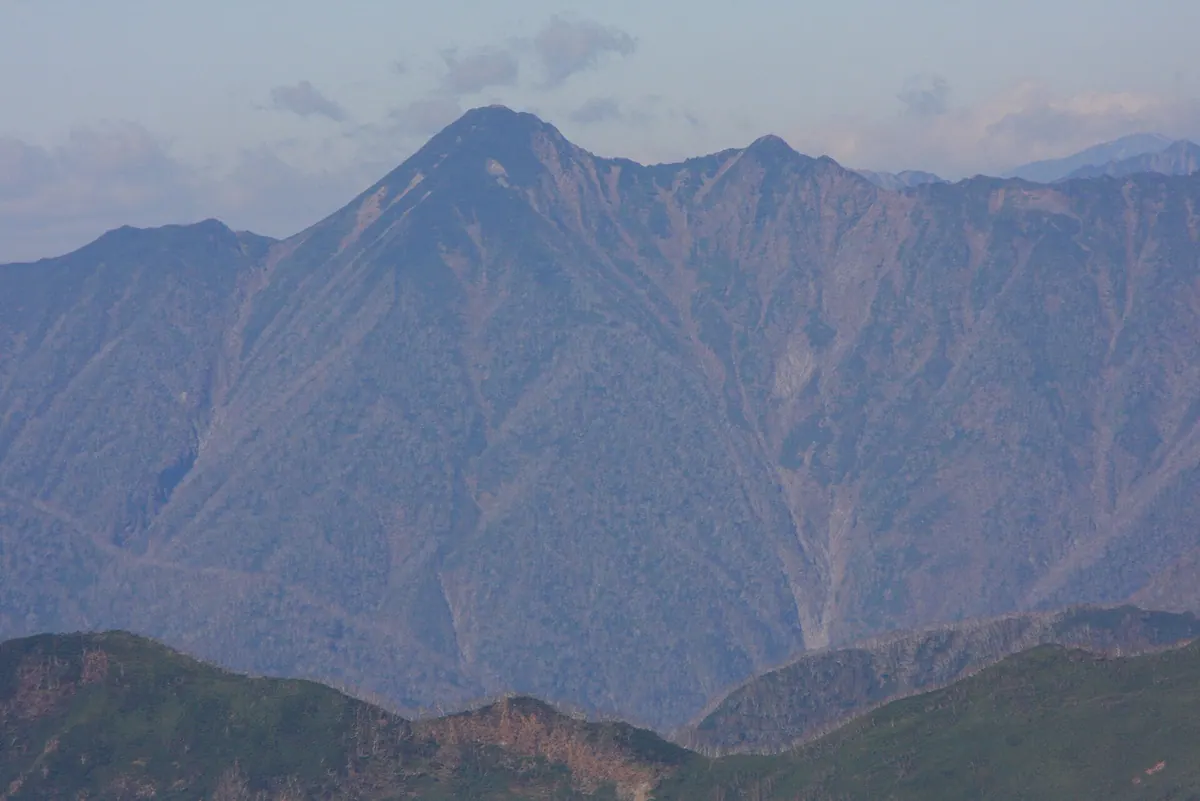
What it is
- A mountain peak standing 1,842 meters above sea level in Shinhidaka Town.
- Part of the Hidaka Sanmyaku-Erimo Tokachi National Park in Hokkaido.
- Named after a previous elevation measurement and officially mapped in 1977.
- First climbed by Keio University members in July 1929.
What to see
- The summit of the Hidaka Mountain Range with expansive wilderness views.
- The climbing route passing through Mount Koikakushusatsunai and Mount Yaoromappu.
When to go
- The first winter ascent was recorded in 1934 by Hokkaido University members.
Getting there
- The most common climbing route starts from the Satsunaifutamata Bridge.
- The ascent from the bridge takes approximately thirteen hours of hiking.
- The journey requires two nights of camping on the mountain.
Notes written by Japan Gems from facts in Japanese Wikipedia.
Where it is
1839 Metre Summit Open in Google Maps
この施設の関係者の方へ
このページは公開情報をもとに Japan Gems が作成し、訪日外国人向けに英語で掲載しています。 写真や情報の追加・修正を承っています。お店の写真に差し替えることもできます。
このページの情報を更新する