Azumane Yama
東根山
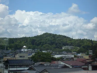
A 927-meter peak in Iwate offering panoramic views of Mount Iwate and seasonal wildflowers along a two-hour hiking trail.
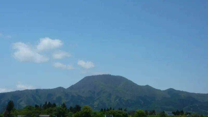
What it is
- A 927.9-meter mountain standing on the border of Shiwa and Shizukuishi in Iwate Prefecture.
- One of the three mountains known as the Shiwa Sanzan in the Ou Range.
- A geological site featuring a volcanic neck of granodiorite porphyry protruding from tuff layers.
- A hiking destination with a summit reachable in approximately two and a half hours.
What to see
- Panoramic views of Mount Hayachine and Mount Iwate from the summit area.
- The Hebishi Observatory which overlooks the southern part of Shiwa Town.
- Katakkuri and Enreiso flowers blooming on the mountain slopes.
- Unique geological formations of Pliocene granodiorite porphyry at the peak.
When to go
- Visit after April to see the spring wildflowers in bloom.
- September 28 is the officially designated day for this mountain.
Getting there
- The trailhead is located directly next to the La France Onsenkan facility.
Notes written by Japan Gems from facts in Japanese Wikipedia.
Where it is
Azumane Yama Open in Google Maps
この施設の関係者の方へ
このページは公開情報をもとに Japan Gems が作成し、訪日外国人向けに英語で掲載しています。 写真や情報の追加・修正を承っています。お店の写真に差し替えることもできます。
このページの情報を更新する