

20 Mountains in Iwate worth your time
Japan Gems
22 Mountains in Iwate, with what to see and how to get there.
Iwate has 22 mountains on Japan Gems. Below are the 20 we can tell you the most about — each one written up in English from Japanese sources, with what to see and how to get there. See all mountains in Iwate.
01
Hachimantai
IWATE · PLACE 八幡平
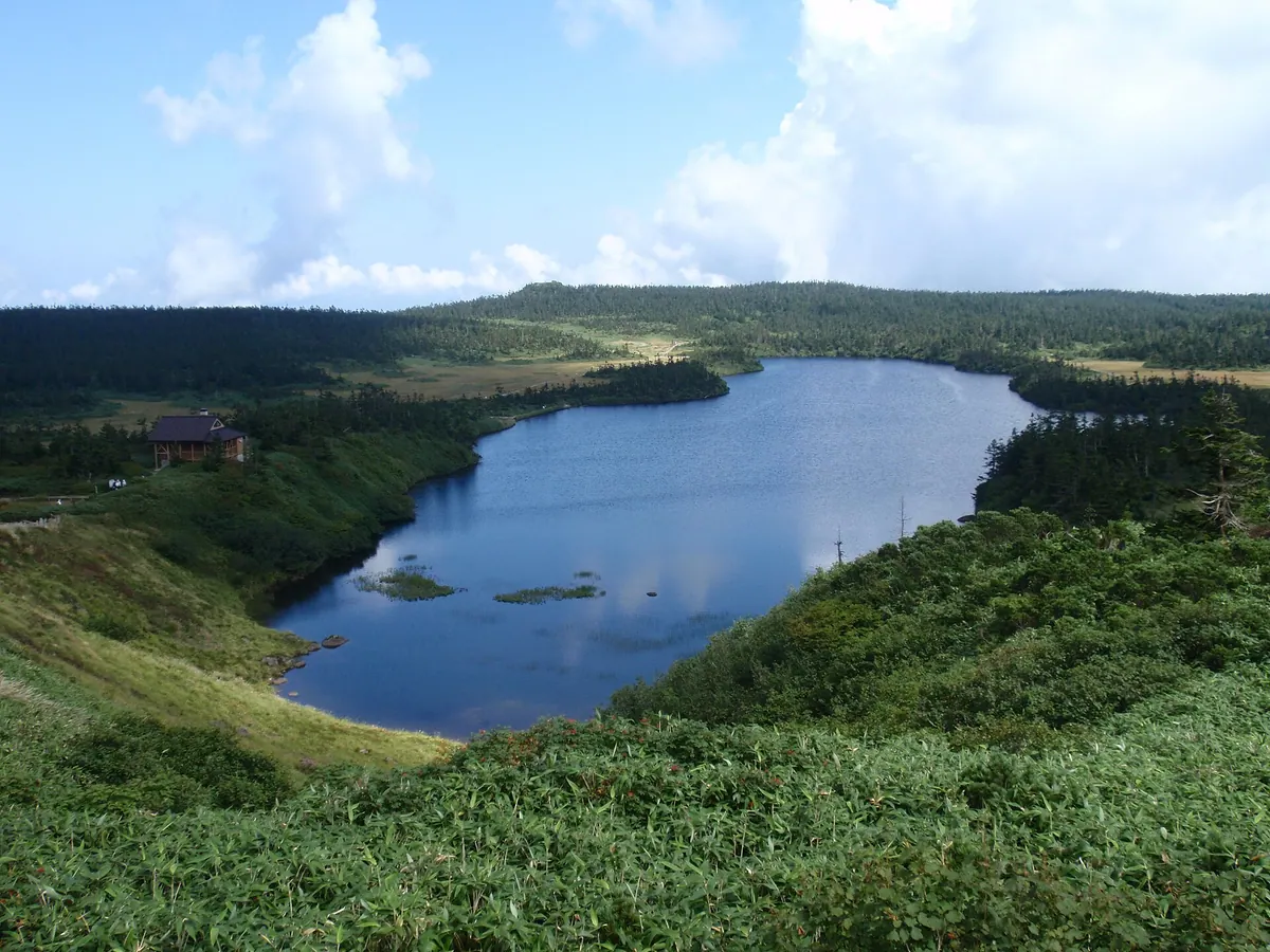
A 1,614-meter volcanic plateau in a national park featuring crater lakes, primeval forests, and unique seasonal natural phenomena.
What it is
- A 1,614-meter stratovolcano with a plateau-like summit spanning Akita and Iwate prefectures.
- Designated as a national park in 1956 and a National People's Health Resort.
- The region is covered by extensive primeval forests of Maries' fir.
- The summit area contains numerous crater lakes formed by ancient steam explosions.
What to see
- A wooden observatory rebuilt at the summit in 2014 for panoramic views.
- Hachiman-numa, which is the second largest natural lake in Iwate Prefecture.
- The Hachimantai Dragon Eye phenomenon appearing at Kagami Pond.
- Japan's largest groups of frost-covered trees during the winter season.
- The Hachimantai Aspite Line road which provides scenic access through the area.
When to go
- Early summer to witness the Hachimantai Dragon Eye at Kagami Pond.
- Winter to see the large groups of frost-covered trees.
Getting there
- Seasonal buses run from Morioka, Tazawako, and Kazuno-Hanawa stations.
- Road access is available via the Hachimantai Aspite Line.
02
Mount Tabashine
IWATE · PLACE 束稲山
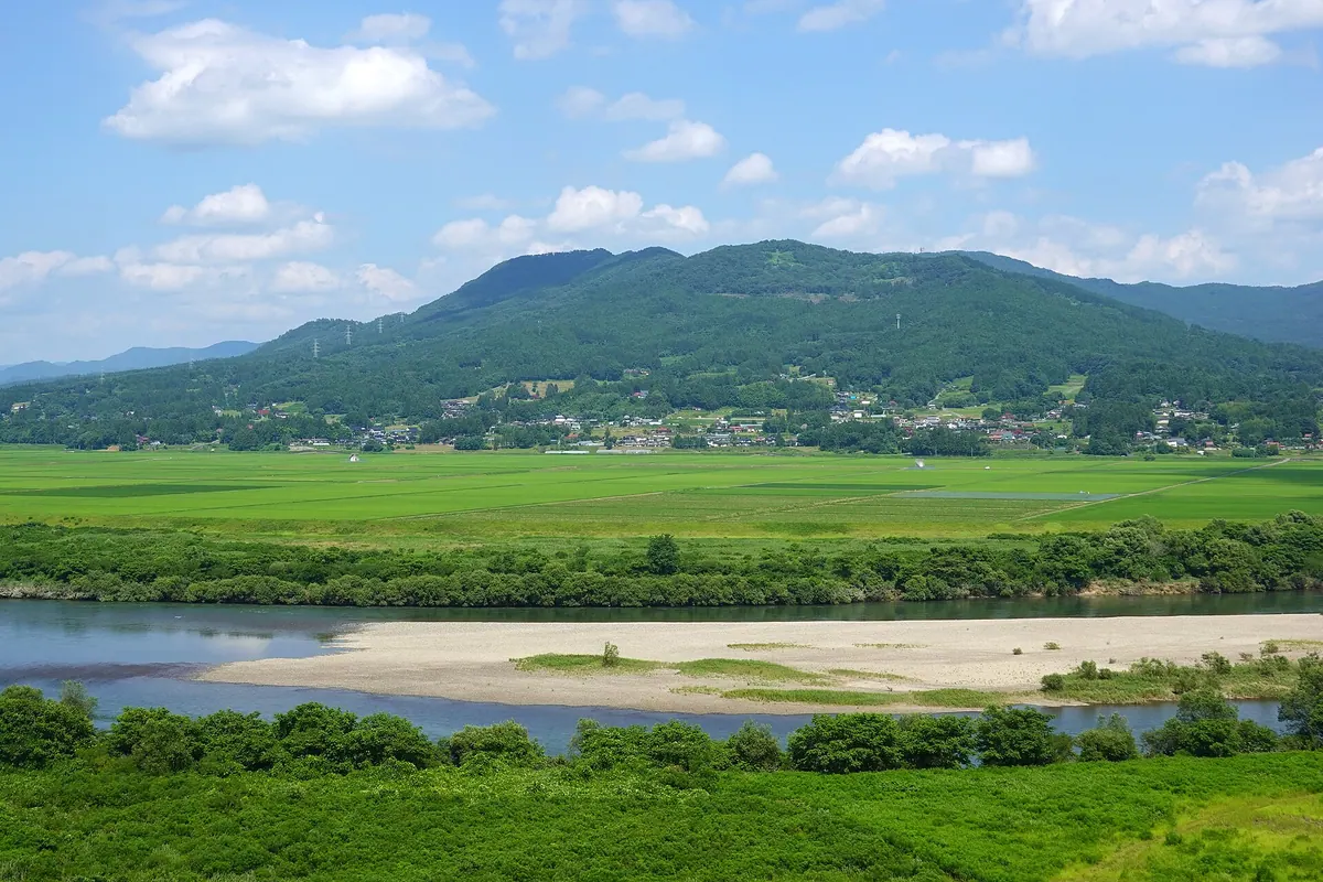
A 595-meter mountain peak near Hiraizumi featuring historic shrines, Buddhist relics, and seasonal floral displays.
What it is
- A mountain peak bordering Hiraizumi, Oshu, and Ichinoseki reaching 594.9 meters.
- Comprised of three distinct peaks named Mount Kyozuka, Mount Otowa, and Mount Tabashine.
- Designated as a Japanese Heritage of Agriculture site in 2023.
- Home to Gassan Shrine, established by the wife of Fujiwara Yasuhira.
What to see
- A statue of Aテルイ located at the mountain trailhead.
- A stone on Mount Kyozuka where Fujiwara Hidehira buried sacred Buddhist scriptures.
- Extensive fields of azaleas blooming across the mountain slopes.
- Television and FM radio relay stations situated at the summit.
- Views from the area also known locally as Komagatamine.
When to go
- August 16th to witness the annual bonfire event on the mountainside.
- Spring season to see the famous azalea blossoms in bloom.
Getting there
- The summit is accessible by a 30-minute drive from Hiraizumi Station.
03
Azumane Yama
IWATE · PLACE 東根山
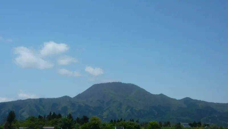
A 927-meter peak in Iwate offering panoramic views of Mount Iwate and seasonal wildflowers along a two-hour hiking trail.
What it is
- A 927.9-meter mountain standing on the border of Shiwa and Shizukuishi in Iwate Prefecture.
- One of the three mountains known as the Shiwa Sanzan in the Ou Range.
- A geological site featuring a volcanic neck of granodiorite porphyry protruding from tuff layers.
- A hiking destination with a summit reachable in approximately two and a half hours.
What to see
- Panoramic views of Mount Hayachine and Mount Iwate from the summit area.
- The Hebishi Observatory which overlooks the southern part of Shiwa Town.
- Katakkuri and Enreiso flowers blooming on the mountain slopes.
- Unique geological formations of Pliocene granodiorite porphyry at the peak.
When to go
- Visit after April to see the spring wildflowers in bloom.
- September 28 is the officially designated day for this mountain.
Getting there
- The trailhead is located directly next to the La France Onsenkan facility.
04
Mount Murone
IWATE · PLACE 室根山
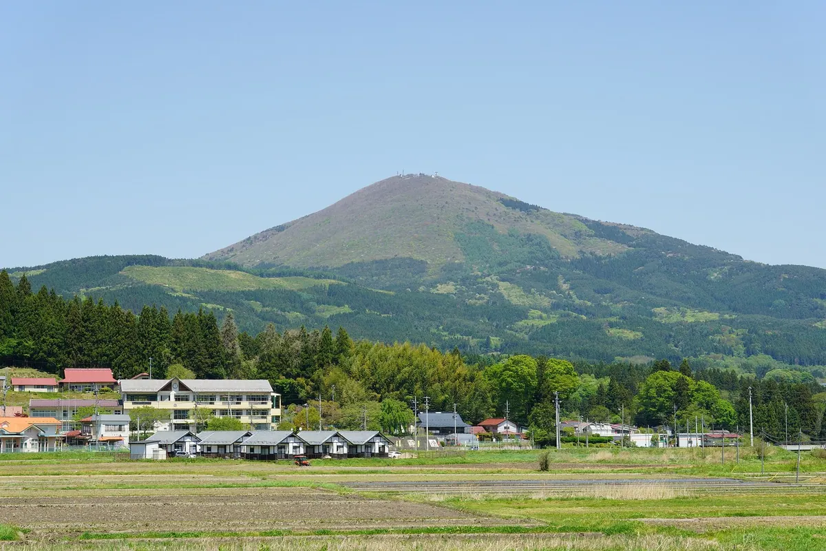
A 894-meter peak in Iwate featuring a historic shrine, an astronomical observatory, and views from the Murone Kogen Prefectural Natural Park.
What it is
- A mountain standing 894.7 meters tall within the Murone Kogen Prefectural Natural Park.
- A historic center for Kumano faith and Shugendo mountain asceticism.
- The site of Murone Shrine, located on the mountainside.
- A source of granite known as Murone Stone with Paleozoic and Mesozoic geological layers.
What to see
- The Murone Shrine buildings situated along the mountain slopes.
- An astronomical observatory located near the mountain summit.
- Television and FM radio relay stations installed at the top.
- A first-class triangulation point marking the highest elevation.
- Panoramic views of the surrounding prefectural natural park.
When to go
- The Murone Shrine Special Festival, designated as a national intangible cultural property.
- Be aware of winter road closures near the fifth station due to snow.
05
Mount Inaniwa
IWATE · PLACE 稲庭岳
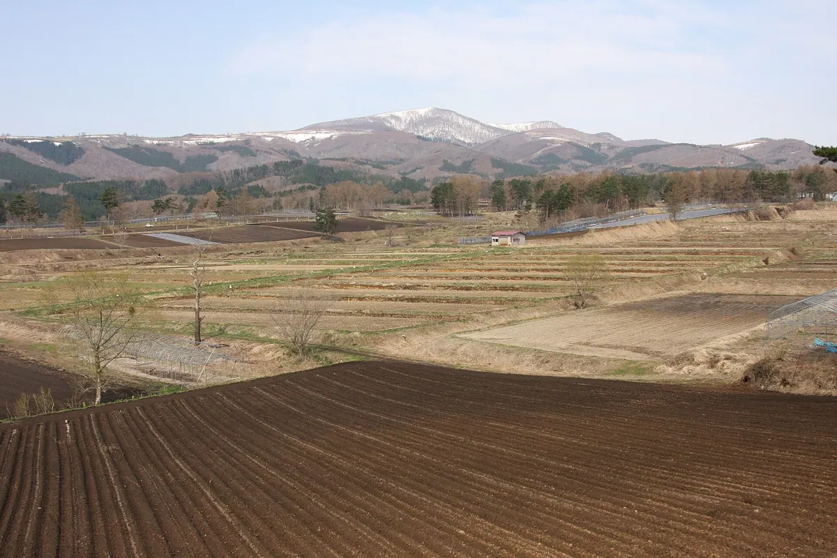
A 1,078-meter peak in Iwate featuring accessible hiking trails, seasonal festivals, and scenic secondary forests of birch and beech.
What it is
- A mountain in Ninohe City standing at an elevation of 1,078 meters.
- The landscape consists of pyroxene andesite and volcanic debris.
- The area features secondary forests of Erman's birch and beech trees.
- Nearby facilities include the Inaniwa Highlands Campground and Inaniwa Komagata Shrine.
What to see
- Secondary forests of Erman's birch and beech trees across the slopes.
- Views from the south hiking trail which takes 45 minutes to climb.
- The summit area accessible by mountain bikes and wheelchairs via the south trail.
When to go
- Late May for the official mountain opening ceremony.
- Mid-February for the annual winter event.
Getting there
- A 50-minute drive from Ninohe Station to reach the mountain.
- Accessible from the Johoji Interchange via Route 6.
06
Akita-Komagatake
IWATE · PLACE 秋田駒ヶ岳
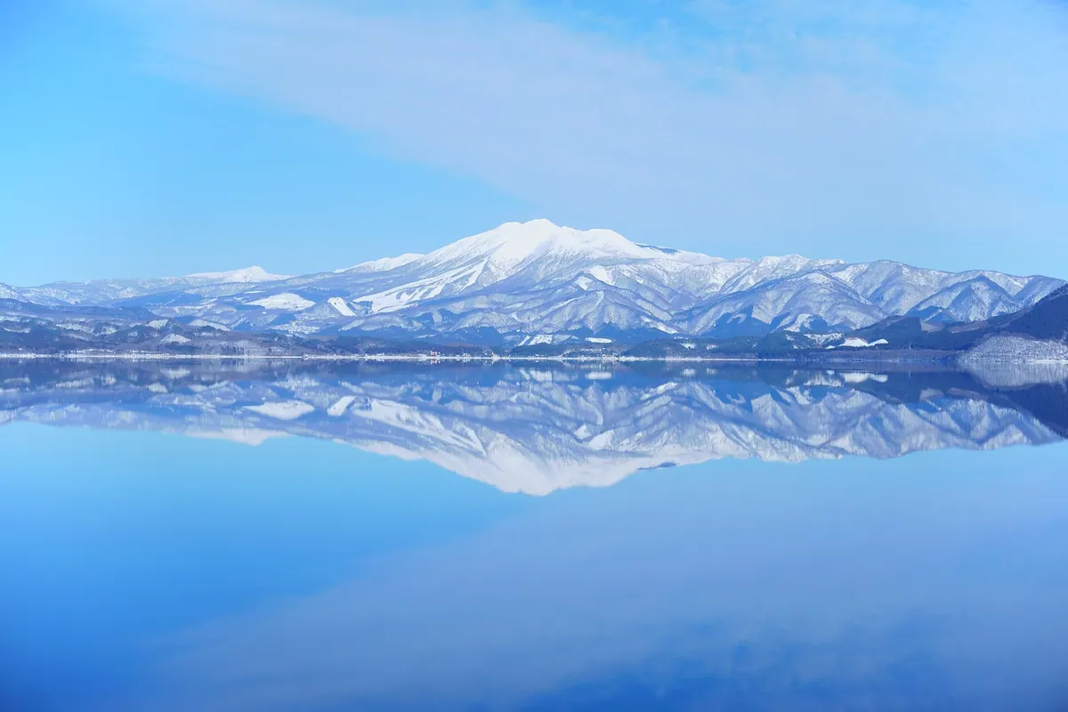
An active volcano in Towada-Hachimantai National Park famous for its alpine plants and views from two distinct calderas.
What it is
- An active volcano standing 1,637 meters above sea level in Akita and Iwate prefectures.
- A designated national natural monument located within the Towada-Hachimantai National Park.
- One of Japan's 200 Famous Mountains featuring two distinct summit calderas.
- A monitored volcanic site with major recorded eruptions in 1932 and 1970.
What to see
- A stone shrine dedicated to the Komagata deity located at the mountain summit.
- A protected alpine plant zone that has been a natural monument since 1926.
- An evacuation hut situated on the shore of Amida Pond near the peak.
- Panoramic views of the surrounding landscape from the highest peak.
When to go
- The official climbing season begins annually on June 1st.
- Peak seasons when private vehicle restrictions are enforced on the access road.
07
Mount Mitsuishi
IWATE · PLACE 三ツ石山
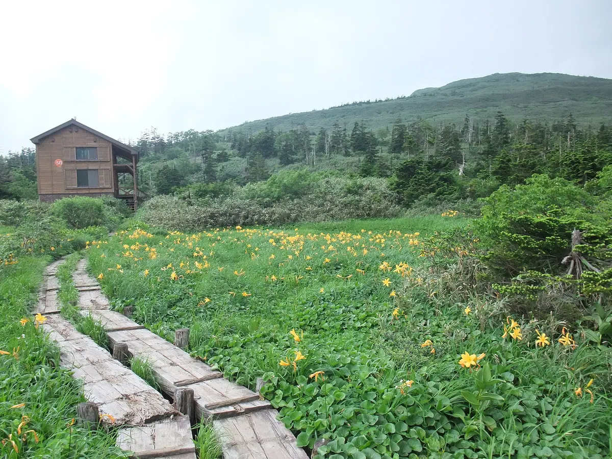
A prominent peak in the Tohoku region offering panoramic views of Mount Iwate and rare alpine flora in high-altitude marshes.
What it is
- A peak listed among the 100 Famous Mountains of Tohoku.
- A key destination located on the Ura-Iwate traverse hiking route.
- An environmentally protected area where a planned industrial road project was halted.
What to see
- A large rock formation and stone cairns at the summit.
- Panoramic views of Mount Iwate, Hachimantai, and the Matsukawa Geothermal Power Plant.
- Mitsuishi Marsh featuring daylilies and skunk cabbage between the mountain peaks.
- The Mitsunuma ponds located between Mount Mitsuishi and Kobuntoyama.
- An emergency mountain hut called Mitsuishi Sanso situated at 1300 meters.
Getting there
- Access the mountain via hiking trails starting from Amihari, Matsukawa, or Takinoue hot springs.
- Use the Amihari Onsen Ski Resort lifts to reach the mountain trails.
08
Mount Nyuto
IWATE · PLACE 乳頭山
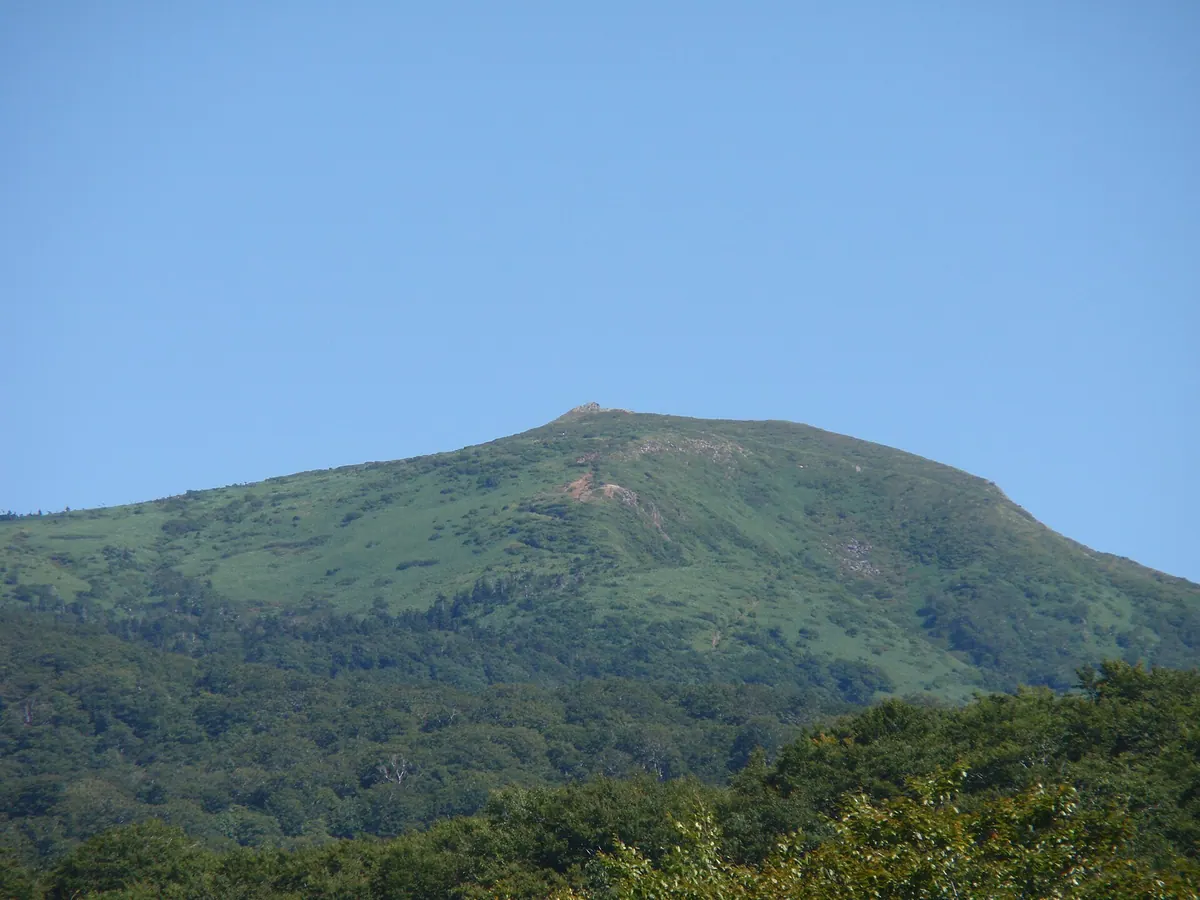
A scenic peak in Towada-Hachimantai National Park offering alpine marshlands and hiking trails between Akita and Iwate prefectures.
What it is
- A mountain spanning the border of Akita and Iwate Prefectures.
- Part of the protected Towada-Hachimantai National Park landscape.
- Known as Eboshidake to residents on the Iwate Prefecture side.
- A destination for hikers and rock climbers visiting the region.
What to see
- A steep cliff face located on the eastern side of the summit.
- Views overlooking the source of the Kakkonda River.
- Tashirotai Marshland situated a short distance below the mountain peak.
- The unmanned Tashirotai Mountain Villa located near the hiking trail.
Getting there
- The shortest climbing route begins at Kuroyu Onsen.
- A hike from Kuroyu Onsen to the summit takes approximately two hours.
- Alternative trailheads are located at Magoroku Onsen and Takinoue Onsen.
09
Mount Maemori
IWATE · PLACE 前森山
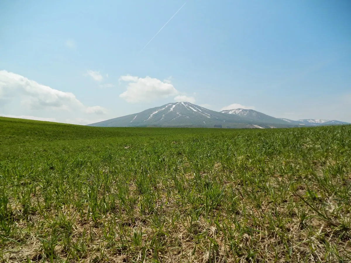
A 1,305-meter volcanic peak in Iwate featuring a summit observation deck, accessible via a ski resort gondola lift.
What it is
- The northernmost volcano in the Hachimantai volcanic group reaching 1,305 meters.
- Site of the Appi Kogen Ski Resort developed on the northeastern slopes in the 1980s.
- Land formerly used for charcoal production and collective farming by repatriates from China.
- Area where cattle grazing helped form the local secondary beech forests.
What to see
- An observation deck located at the mountain summit.
- Secondary beech forests created through historical cattle grazing.
- A hiking trail connecting the peak to nearby Mount Chausu.
- The Appi Kogen Ski Resort facilities on the mountain slopes.
Getting there
- A gondola lift provides direct access to the summit station.
- The mountain summit is a ten minute walk from the gondola station.
10
Mount Ōshiromori
IWATE · PLACE 大白森
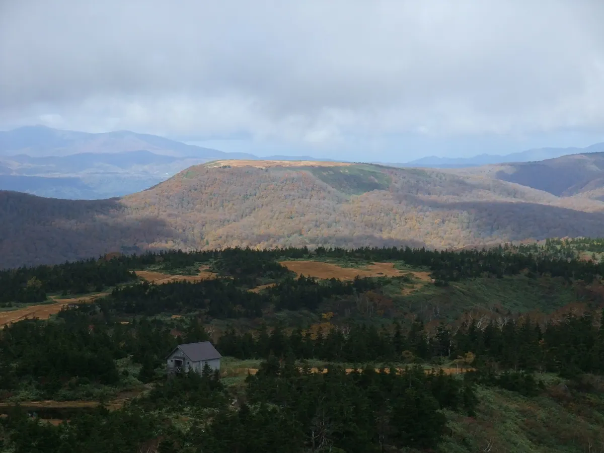
A mountain in Akita featuring high-altitude moors and a trekking course established in 1961 for nature enthusiasts.
What it is
- A mountain peak in northeastern Akita Prefecture featuring a vast high-altitude moor.
- Part of the South Hachimantai trekking course officially established in 1961.
- Historically referred to as Mount Oshiro by local people.
- A destination for hikers located 1500 meters north of Mount Koshiromori.
What to see
- Summit wetlands filled with blooming cotton grass and daylilies.
- A wooden two-story mountain villa built to accommodate twenty people at 1025 meters.
- Coniferous and maple shrubs surrounding the nearby summit of Mount Koshiromori.
- High-altitude moor landscapes accessible via the established trekking route.
Getting there
- The trailhead is located next to the Tsurunoyu Onsen parking lot.
11
Mount Hayachine
IWATE · PLACE 早池峰山
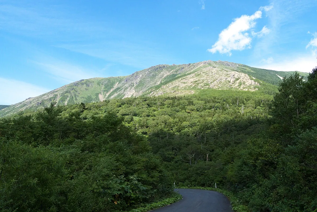
The highest peak in the Kitakami Mountains, offering unique alpine flora and ancient spiritual traditions in a designated national park.
What it is
- The highest peak of the Kitakami Mountains reaching 1917 meters high
- A designated Special Natural Monument of Japan composed of serpentine rock
- One of the three sacred Tono Sanzan mountains
- A spiritual site featuring Hayachine Shrine at both the summit and base
What to see
- The only natural growth of Picea glehnii trees on Honshu island
- Hayachine Shrine buildings located at the mountain summit and foot
- Unique alpine plants thriving on the peridotite and serpentine terrain
- Traditional Hayachine Kagura folk dances associated with the mountain
When to go
- Private car access is restricted on weekends from June to August
- The Kawarabou climbing route has remained closed since May 2016
12
Mount Nametoko
IWATE · PLACE ナメトコ山
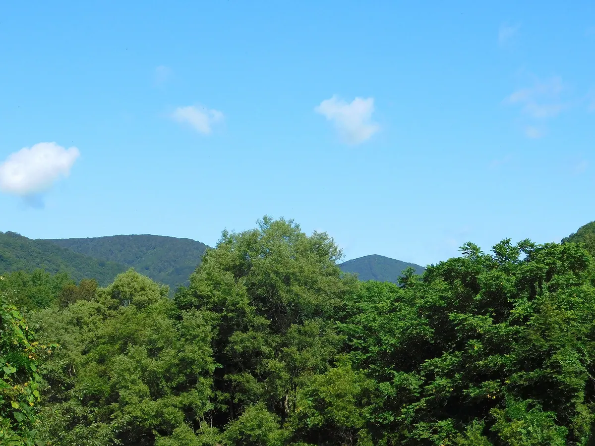
A 860-meter peak in the Ou Mountains famous for its inclusion in the literary works of Kenji Miyazawa.
What it is
- A mountain standing 860 meters above sea level in the Ou Mountain Range.
- A geographical feature located on the border of Hanamaki and Shizukuishi.
- A site featured in the literature of famous Japanese author Kenji Miyazawa.
- A peak officially added to topographical maps in 1996 after historical verification.
What to see
- An acrylic location sign identifying the ridge at Makudate Bridge.
- Views of the landscape upstream of the Toyosawa River.
- The mountain ridge as depicted on the Sugakurayama topographical map.
Getting there
- Access the mountain area via the Kitanomata Forest Road.
- Find the identification sign located at Makudate Bridge on Route 12.
13
Mount Yakeishi
IWATE · PLACE 焼石岳
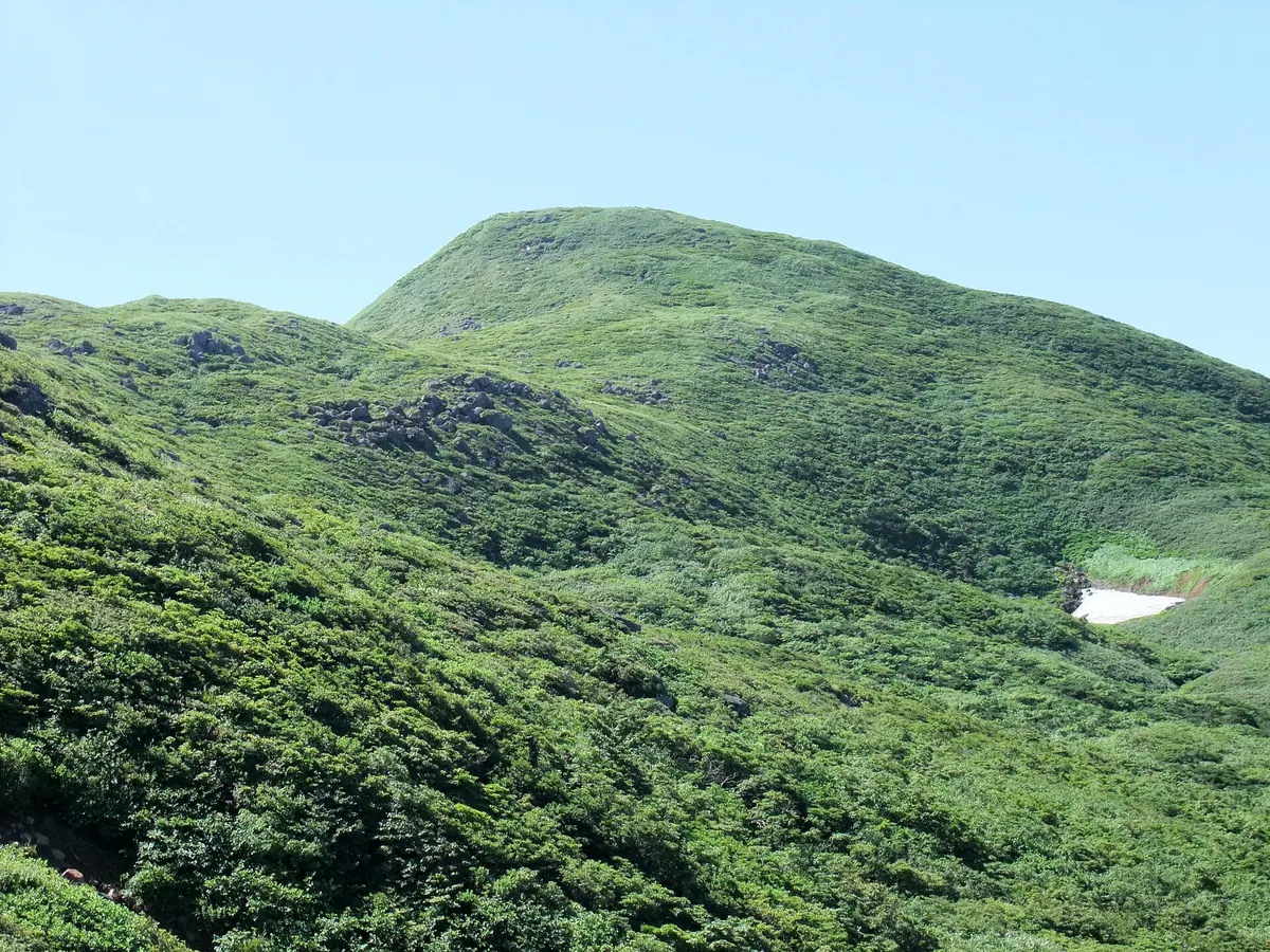
A 1,548-meter volcano in Iwate Prefecture offering virgin beech forests, alpine flora, and panoramic views of northern Japanese peaks.
What it is
- A 1,548-meter volcano located in southwestern Iwate Prefecture.
- Part of the Kurikoma Quasi-National Park featuring pyroxene andesite rock.
- A natural habitat for virgin beech forests and high densities of alpine plants.
- A summit marked by a first-class triangulation point.
What to see
- Numerous small ponds and marshes distributed across the mountain slopes.
- Yakeishi Pond where wild rainbow trout can be found.
- Panoramic views of Mount Iwate and Mount Chokai from the summit.
- Expansive fields of diverse alpine flowers during the growing season.
Getting there
- The shortest climbing route to the summit starts from the Sangome trailhead.
14
Kinkeizan
IWATE · PLACE 金鶏山
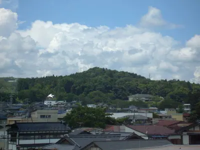
A UNESCO-listed sacred mountain and urban landmark in Hiraizumi featuring ancient sutra mounds and historic memorial pagodas.
What it is
- A 98.6-meter mountain serving as a central reference point for Hiraizumi's urban design.
- A UNESCO World Heritage Site designated as a National Historic Site and Place of Scenic Beauty.
- A sacred site where excavations revealed the summit functioned as a historic sutra mound.
- Legend claims Fujiwara no Hidehira constructed the entire mountain in a single night.
What to see
- The Senju-do hall located at the foot of the mountain.
- A pagoda marking the reported grave of Minamoto no Yoshitsune's family.
- The Hiraizumi Cultural Heritage Center situated at the base of the site.
- Artifacts from the summit including copper sutra containers and ceramic jars.
15
Mount Nanashigure
IWATE · PLACE 七時雨山
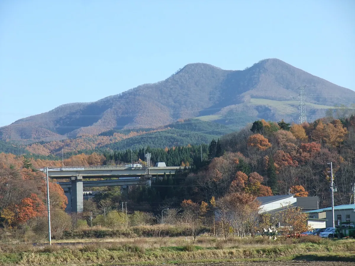
A 1,063-meter double-peaked volcano in Iwate offering historical trails and views from the 100 Famous Mountains of Tohoku list.
What it is
- A 1,063-meter lava dome volcano located in Hachimantai City, Iwate Prefecture.
- The mountain features two distinct summits known as the North and South peaks.
- A historical production site for Nambu horses situated along the old Kazuno Kaido highway.
- One of the 100 Famous Mountains of Tohoku with three available climbing trailheads.
What to see
- The Tashirotai Highlands located at the center of the volcanic area.
- A stone lion head deity enshrined on the summit of the South peak.
- A first-class triangulation point positioned on the North peak.
- Panoramic views from the top of this prominent double-peaked mountain.
16
Mount Oritsume
IWATE · PLACE 折爪岳
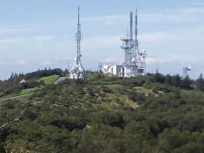
A mountain peak featuring an observatory and campground with views of Mount Iwate and the surrounding northern prefectures.
What it is
- A mountain peak standing at an elevation of 852.2 meters.
- A hub for television and radio relay stations serving northern Iwate and southern Aomori.
- A site spanning the borders of Ninohe City, Karumai Town, and Kunohe Village.
- A recreational area featuring a campground and an observatory near the summit.
What to see
- Panoramic views of Mount Iwate and Hachinohe City from the summit.
- An observatory located near the highest point of the mountain.
- Various digital television and FM radio broadcasting relay facilities.
- A wireless relay station operated by NTT East.
17
Mount Himekami
IWATE · PLACE 姫神山
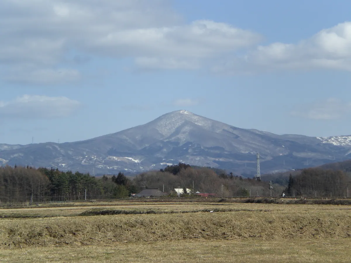
A pyramid-shaped peak in Iwate offering 360-degree views of Mount Iwate and connections to local poetry and music.
What it is
- A 1123.8-meter pyramid-shaped peak listed among Japan's 200 Famous Mountains.
- A sacred site where Sakanoue no Tamuramaro enshrined the deity Tachieboshi Shinjo.
- The birthplace of poet Ishikawa Takuboku and namesake for the musical group Himekami.
- A geological formation consisting of granite and non-volcanic paleozoic strata.
What to see
- A 360-degree panoramic view of Mount Iwate and Mount Hayachine from the summit.
- The Ipponsugi route, which is the most popular of the four hiking trails.
- A first-class triangulation point located at the very top of the mountain.
18
Mount Iwate
IWATE · PLACE 岩手山
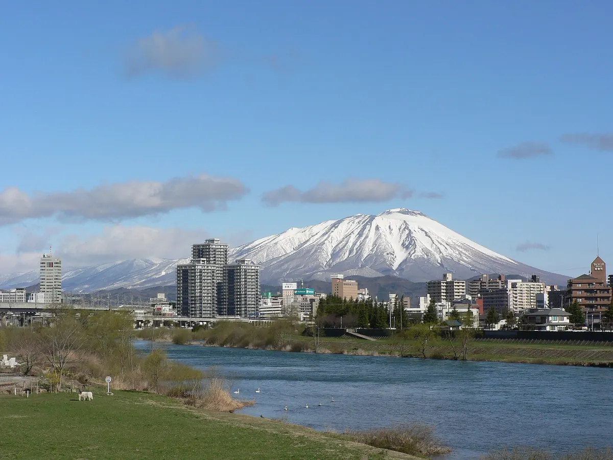
A 2,038-meter stratovolcano known as Nambu Fuji, offering volcanic craters and a protected lava flow within a national park.
What it is
- The highest peak in Iwate Prefecture at 2,038 meters.
- A stratovolcano in the Ou Mountains nicknamed Nambu Fuji for its shape.
- Part of the Towada-Hachimantai National Park monitored for volcanic activity.
- One of the 100 Famous Japanese Mountains consisting of East and West peaks.
What to see
- The Yakehashiri Lava Flow, designated as a Special Natural Monument.
- Two crater lakes named Okama and Onaeshiro located within the caldera.
- Iwateyama Shrine situated at the base of the mountain.
- Views of the surrounding Hachimantai, Takizawa, and Shizukuishi areas.
19
Mount Rokkōushi
IWATE · PLACE 六角牛山
A 1,294-meter peak in the Kitakami Mountains known as Tono Kofuji and featured in the famous Tono Monogatari folklore collection.
What it is
- A 1,294-meter mountain bordering Tono City and Kamaishi City in Iwate Prefecture.
- One of the Tono Three Mountains nicknamed Tono Kofuji for its shape.
- The site of Rokushinseki Shrine, reportedly founded by Sakanoue no Tamuramaro.
- A location featured in the classic Japanese folklore collection Tono Monogatari.
What to see
- The main Rokushinseki Shrine buildings located at the base of the mountain.
- An inner shrine situated at the summit that doubles as a weather shelter.
- Panoramic views from the peak across the Kitakami Mountain range.
20
Mount Nanshō
IWATE · PLACE 南昌山
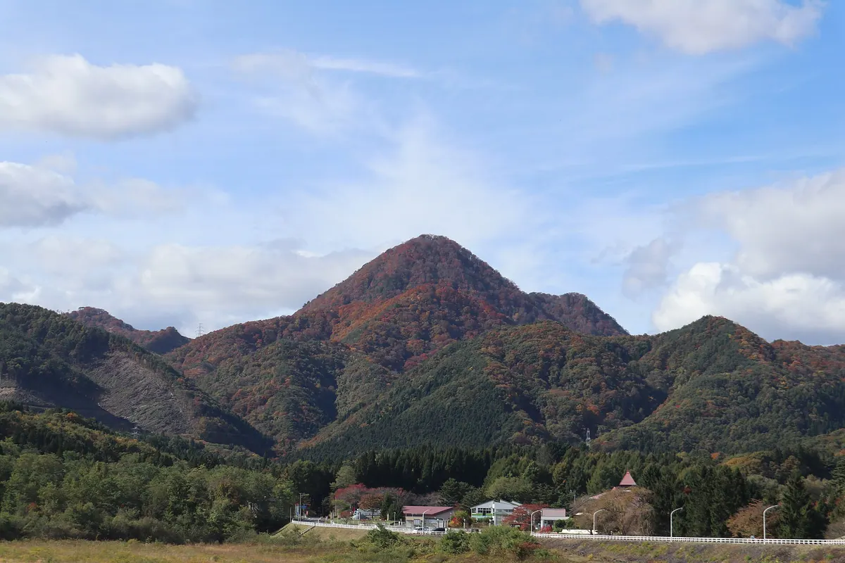
A 848-meter peak featuring a historic shrine and unique volcanic rock formations, famously featured in Kenji Miyazawa's literature.
What it is
- A mountain standing 848 meters above sea level on the border of Shizukuishi and Yahaba.
- One of the Shiwa Three Mountains featuring a volcanic neck peak of quartz porphyry.
- Home to Nansho-san Shrine, which enshrines the deity Seiryu Gongen.
- A historic site included in Tani Buncho's Meizan Zufu and Kenji Miyazawa's literature.
What to see
- Six lion-head stone statues dedicated at the mountain summit.
- The Nansho-san Shrine, allegedly founded by Sakanoue no Tamuramaro.
- One of the thirty-two Sutra-burying mountains located at the peak.