

20 Mountains in Hyōgo worth your time
Japan Gems
51 Mountains in Hyōgo, with what to see and how to get there.
Hyōgo has 51 mountains on Japan Gems. Below are the 20 we can tell you the most about — each one written up in English from Japanese sources, with what to see and how to get there. See all mountains in Hyōgo.
01
Mount Tekkai
HYōGO · PLACE 鉄拐山
A 237-meter peak in the Rokko Mountains offering hiking trails and historical significance as a medieval surprise attack site.
What it is
- A mountain standing 237 meters high on the border of Suma and Tarumi wards.
- The westernmost point of the Rokko Mountains featuring weathered granite and secondary forests.
- A historical site where Minamoto no Yoshitaka reportedly launched a surprise military attack.
- A key waypoint located along the popular Rokko Traverse Ridge hiking route.
What to see
- A first-class reconstruction reference point installed near the mountain summit.
- Hiking trails connecting the peak to Mount Hatafuri and the former Mount Takakura.
- The Myoken-do ruins located along the approach route from Suma Station.
- Natural secondary forests and granite rock formations surrounding the summit area.
Getting there
- Walk approximately 1.7 kilometers along hiking trails from Sumaura-koen Station.
- Follow the trail from Takakuradai passing through Mount Oraga to reach the peak.
- Access the mountain via a route from Suma Station passing through Myoken-do ruins.
02
Mount Shosha
HYōGO · PLACE 書写山
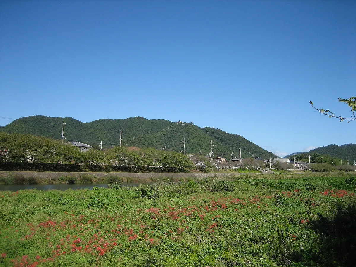
A mountain temple complex in Himeji featuring historic pilgrimage sites, ancient forests, and multiple ways to reach the summit.
What it is
- A mountain summit temple complex founded as the 27th site of the Saigoku Kannon Pilgrimage.
- Part of the Seiban Kyuryo Prefectural Natural Park in Himeji City.
- A designated wildlife protection area containing sections of old-growth forest.
- A religious site situated near the Yumesaki and Sugao rivers.
What to see
- Engyo-ji Temple located at the top of the mountain.
- The Mani-den temple building accessible by a paid microbus from the entrance.
- Natural scenery within the Seiban Kyuryo Prefectural Natural Park.
- Views of the surrounding landscape from the four-minute ropeway ride.
Getting there
- Take the Shinki Bus to reach the ropeway base station.
- Ride the ropeway for approximately four minutes to reach the summit.
- Choose from six different hiking trails that lead to the top.
- Free parking is available for those driving to the ropeway base station.
03
Mount Sakazukigatake
HYōGO · PLACE 盃ヶ岳
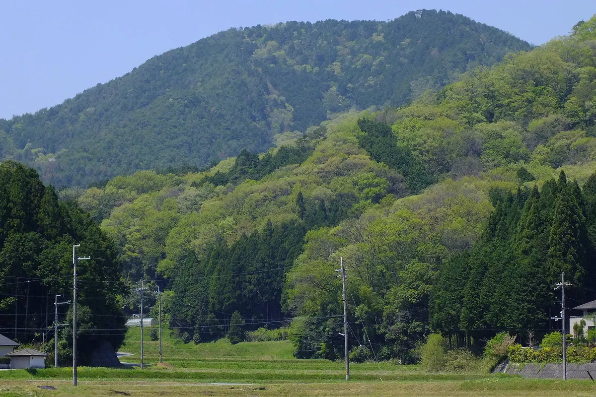
A 497-meter peak in Hyogo offering views of the Sasayama Basin, ancient castle ruins, and seasonal seas of clouds.
What it is
- A mountain peak standing 497 meters high at the front of the Taki Mountain Range.
- The name comes from the mountain's shape which resembles an inverted sake cup.
- Part of the Taki Mountain Range Prefectural Natural Park and a former Shugendo training ground.
- A popular hiking destination connected to Mount Horenbo, Mount Godai, and Mount Mitake.
What to see
- Panoramic views of the Sasayama Basin and the ruins of Yagami Castle from the summit.
- Natural seas of clouds that gather in the valley during specific weather conditions.
- The sunrise over the surrounding peaks of the Taki Mountain Range.
- A valley to the west containing the Unitopia Sasayama facility.
When to go
- Autumn to early winter to witness morning mist forming over the Sasayama Basin.
- Early morning hours to catch the sunrise and the sea of clouds effect.
04
Mount Myōken
HYōGO · PLACE 妙見山
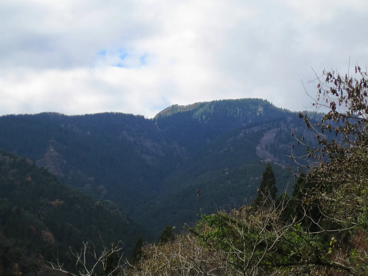
A scenic peak in a Quasi-National Park featuring a historic shrine, marine fossils, and trails walked by famous Japanese explorers.
What it is
- A mountain on the border of Yabu and Kami within a Quasi-National Park.
- One of the fifty designated mountains of the Hyogo prefecture.
- Named after the Myoken Daibosatsu deity from the nearby Nikko-in Temple.
- Home to Nagusa Shrine which was established during the Meiji era.
What to see
- A large colony of skunk cabbage plants growing on the mountain slopes.
- Geological structures containing various types of ancient marine fossils.
- Hiking trails once used by famous explorers Buntaro Kato and Naomi Uemura.
- The watershed area for the Yada and Hiki rivers.
When to go
- Expect heavy snowfall across the mountain during the winter season.
Getting there
- The hike from Ishihara bus stop takes approximately three hours.
- The summit is a seventy-five minute walk from the local campsite.
05
Mount Torokawa
HYōGO · PLACE 瀞川山
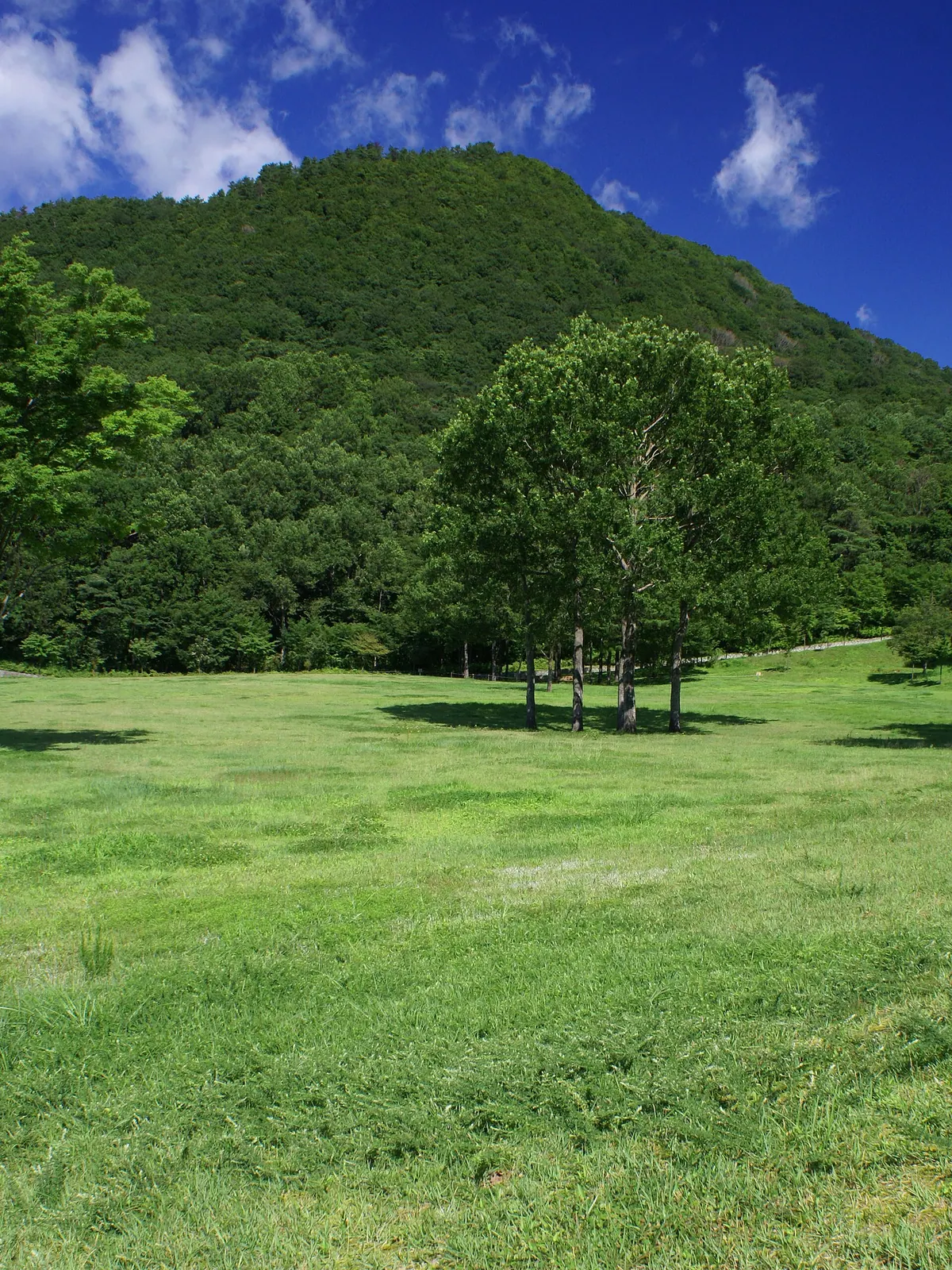
A scenic peak in Hyogo featuring botanical gardens, a wood museum, and a massive ancient tree at its base.
What it is
- A peak in Kami Town belonging to the Hyonosen-Ushironoyama-Nagisan Quasi-National Park.
- One of the fifty designated mountains of the Hyogo Prefecture.
- A natural landmark connected to the Torokawa-daira and Uwano highlands.
- A mountain site featuring a second-class triangulation point at its summit.
What to see
- The Wood Museum of Hyogo Prefecture located at the base of the mountain.
- Tajima Plateau Botanical Gardens situated at the foot of the slopes.
- The Wachi no Okatsura tree standing near the mountain base.
- Surrounding mountain peaks that exceed one thousand meters in height.
Getting there
- Take a bus from Yoka Station to the Fukuoka Hachikitaguchi stop.
- A ten-minute taxi ride from the Fukuoka Hachikitaguchi bus stop.
- Buses from Yumura Onsen reach the area in approximately thirty minutes.
06
Sengamine
HYōGO · PLACE 千ヶ峰
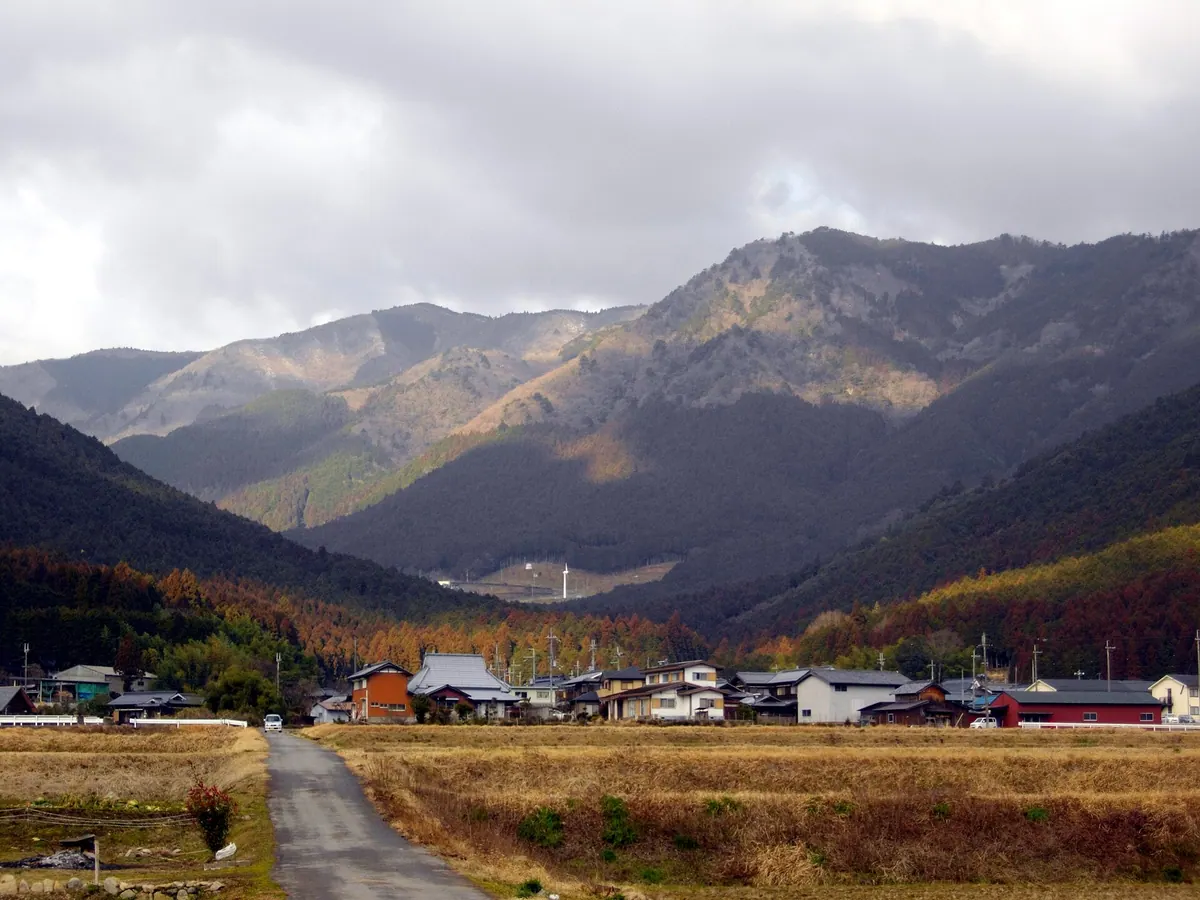
A 1,005-meter peak in Hyogo offering three hiking routes through a prefectural natural park with valley waterfalls and mountain views.
What it is
- A 1,005.2-meter mountain located on the border of Taka and Kamikawa.
- The easternmost peak over 1,000 meters in the Chugoku Range.
- A designated member of the 50 mountains of Hyogo.
- Part of the Kasagatayama-Sengamine Prefectural Natural Park.
What to see
- The summit which serves as a watershed for the Kako and Ichi rivers.
- Waterfalls located along the Mitani Valley climbing route.
- Natural scenery protected within the prefectural natural park boundaries.
- Panoramic views from the highest point in the local range.
Getting there
- Access the Mitani and Isagami routes from the Kadomura bus stop.
- Start the Ichihara route from the Tanji bus stop via Ichihara Pass.
- Expect a three-hour climb when starting from the Tanji bus stop.
- Parking facilities are available for hikers at the Ichihara Pass.
07
Tegarayama
HYōGO · PLACE 手柄山
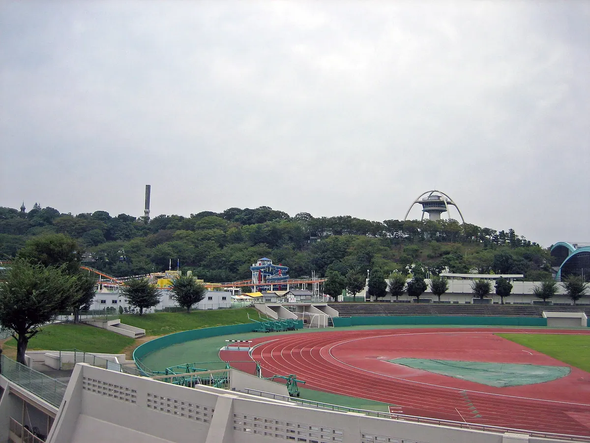
A historic hill in Himeji transformed into a diverse public park featuring an aquarium, botanical gardens, and various memorial sites.
What it is
- A fifty meter high hill in Himeji City developed as a public peace park.
- A location mentioned in the ancient Harima no Kuni Fudoki records.
- The site of the 1966 Himeji Great Exposition and former monorail line.
- A memorial space dedicated to air raid victims established in 1956.
What to see
- The Himeji City Aquarium which has been operating since 1966.
- A botanical garden featuring various plant collections opened in 1980.
- The distinctive memorial tower built to honor victims of air raids.
- The Hyogo Prefectural Budokan martial arts center completed in 2001.
- The Tegarayama Exchange Station which opened to the public in 2011.
Getting there
- The park is located near Tegara Station on the Sanyo Electric Railway.
- A new train station is currently planned to open at the site in 2026.
08
Mount Mitake
HYōGO · PLACE 御嶽
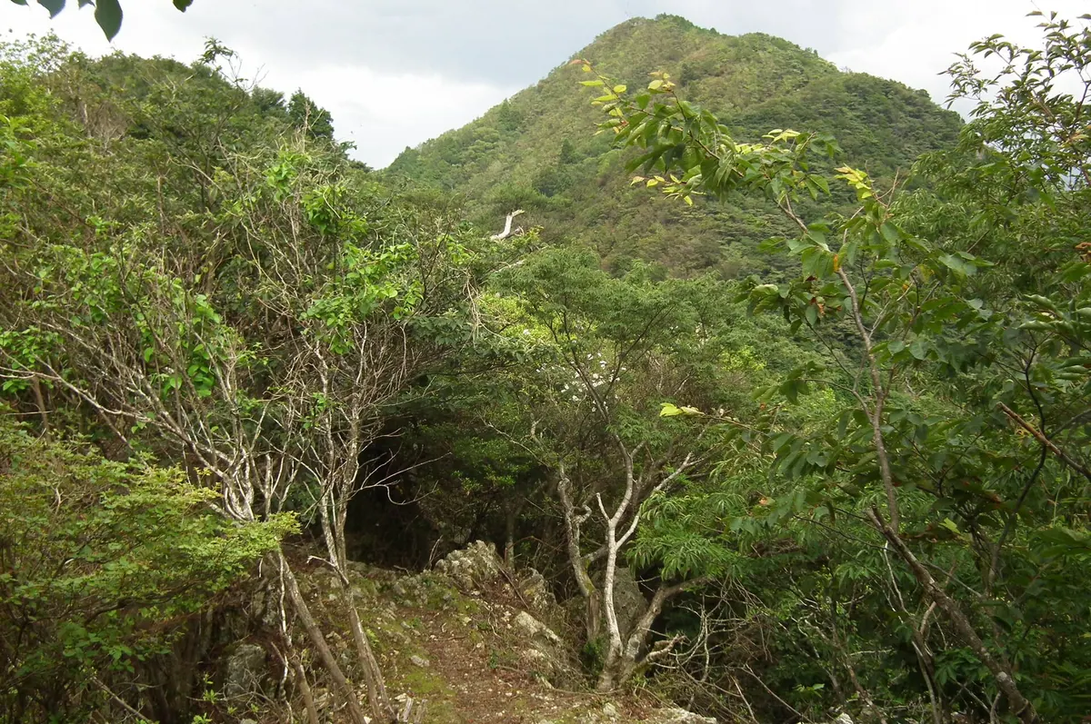
The highest peak of the Taki Mountain Range, offering historic Shugendo ruins and seasonal Japanese primroses for hikers.
What it is
- The highest peak in the Taki Mountain Range standing at 793 meters.
- A historical center for Tamba Shugendo practitioners and mountain asceticism.
- A mountain summit consisting of distinct eastern and western peaks.
- The site of the former Daigaku-ji Temple ruins located near the summit.
What to see
- Japanese primroses that grow naturally across the mountain slopes.
- A stone chamber enshrining En no Gyoja on the eastern peak.
- The Aizen-kutsu cave which served as a television drama filming location.
- Historic ruins of the ancient Daigaku-ji Temple complex.
When to go
- The official mountain opening ceremony held every May.
Getting there
- Buses travel from Sasayamaguchi Station to the Kurigara-guchi stop.
- A hiking trail begins at the Otawa Pass parking lot.
09
Mount Kabuto
HYōGO · PLACE 甲山
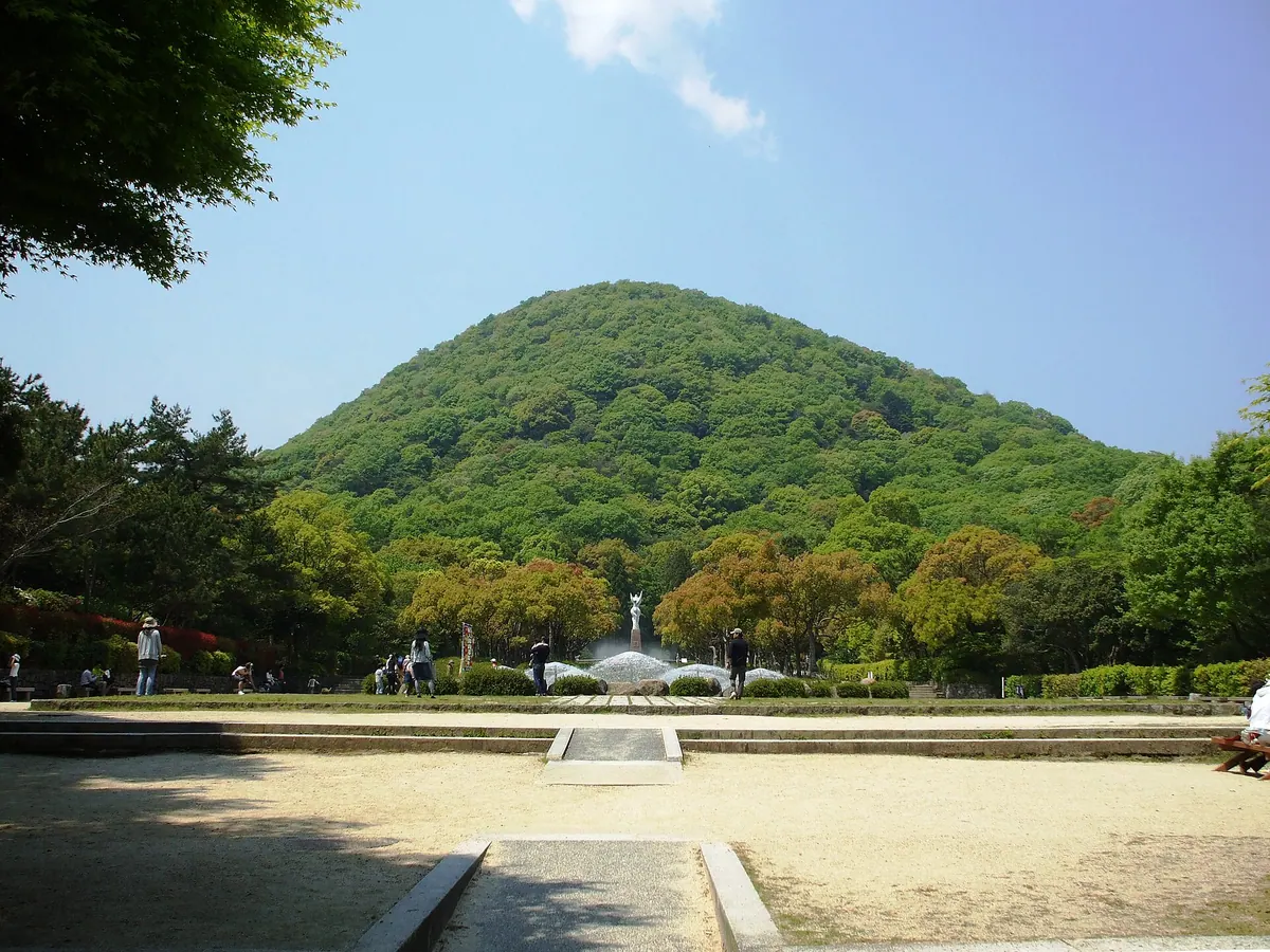
A volcanic peak in Nishinomiya featuring an ancient temple and a summit where an empress allegedly buried a helmet.
What it is
- The remnant of an ancient volcano that erupted approximately 12 million years ago.
- A sacred peak associated with Hirota Shrine and the historic Kanno-ji Temple.
- A mountain primarily composed of pyroxene andesite rock where a bronze spearhead was excavated.
- A landmark formerly known to Westerners as Mount Bismarck during the Meiji era.
What to see
- Kanno-ji Temple situated at the foot of the mountain slopes.
- A permanent orienteering course located at the summit for visitors to use.
- The mountain peak serving as borrowed scenery for the Kansai Gakuin University clock tower.
- The site where Empress Jingu is said to have buried a helmet.
Getting there
- Accessible by bus from Nishinomiya for those traveling from the city center.
- Reach the mountain by foot from Koyoen station.
10
Mount Myōken
HYōGO · PLACE 妙見山
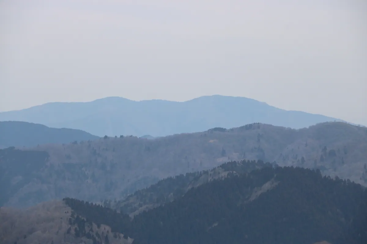
A 693-meter peak known as Myoken Fuji, offering three distinct climbing courses through the scenic Taka District of Hyogo.
What it is
- A mountain with an elevation of 693 meters in Hyogo Prefecture
- Commonly referred to by the local nickname Myoken Fuji
- Recognized as one of the 100 hometown mountains of Hyogo
- A hiking destination featuring three established climbing routes
What to see
- The Higashiyama climbing course starting from Naka Fureai Hall
- The Makino climbing course beginning at Makino Oike
- The Toyobe climbing course starting from Kami Youth House
- Views of the surrounding area including the Myoken Fuji Country Club
Getting there
- Buses run from Nishiwaki City Station to the Taka Kokoguchi stop
- Accessible by car via the Takino-Yashiro Interchange on the expressway
- A forty minute drive from the expressway interchange to the mountain
- Located near National Route 427 in the Taka District
11
Mount Mikusa
HYōGO · PLACE 三草山
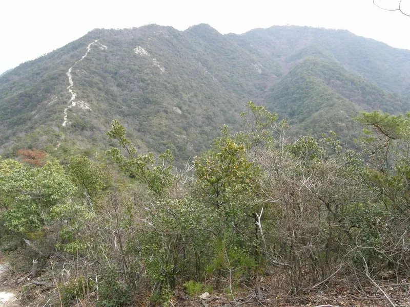
A 423-meter peak in Hyogo offering historic Genpei War battle sites and panoramic views of the Akashi Kaikyo Bridge.
What it is
- A 423.9 meter mountain located within the Kiyomizu-Tojoko-Tachikui Prefectural Natural Park
- Site of the 1184 Battle of Mikusayama where Minamoto no Yoshitsune attacked Taira no Sukemori
- A historic peak also known by the name Harima Koguji
- The location of Mikusayama Shrine which sits at the mountain summit
What to see
- Mikusayama Shrine situated at the highest point of the mountain
- A copper compass rose installed at the summit in 1980
- Panoramic views of Awaji Island and the Akashi Kaikyo Bridge from the peak
- Five distinct hiking routes leading through the natural park to the summit
Getting there
- The Yamaguchi trailhead is located ten minutes from the Takino-yashiro Interchange
- The Hata climbing route takes approximately 45 minutes to reach the top
12
Mount Nagamine
HYōGO · PLACE 長峰山 (兵庫県)
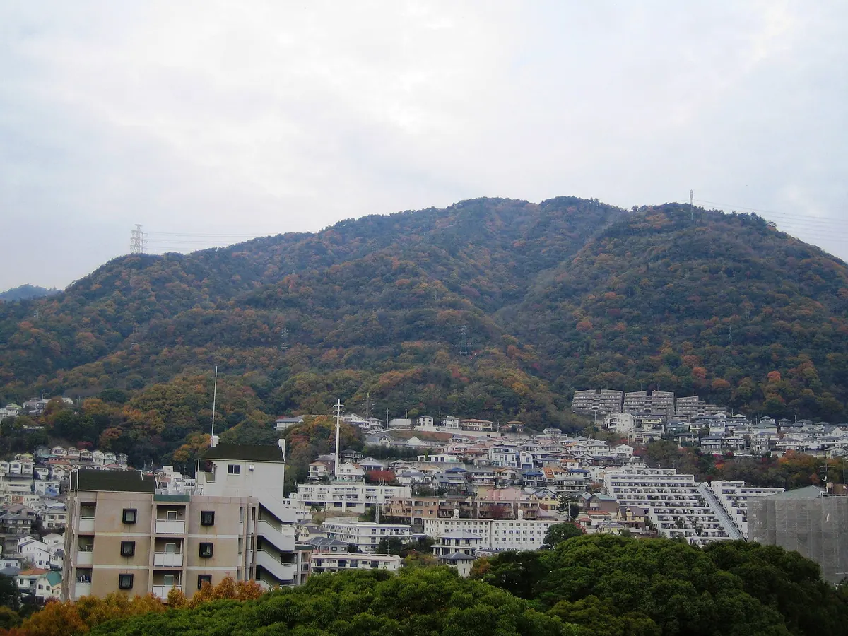
A 687-meter peak in the Rokko range offering panoramic views of Kobe City and the surrounding bays.
What it is
- A mountain peak standing 687.7 meters tall in the Rokko mountain range.
- A hiking destination located in the Nada Ward of Kobe City.
- A natural viewpoint overlooking the urban landscape and Osaka Bay.
What to see
- A large rock formation known as Tenguzuka situated at the summit.
- Panoramic views of Kobe City, Osaka Bay, and the Akashi Strait.
- Clear sights of the Kitan Strait and the Rokko main peak.
- Neighboring Mount Maya visible from the various trail vantage points.
Getting there
- Start the hike from Hankyu Rokko Station or Hankyu Oji-koen Station.
- The ascent to the summit takes approximately one and a half hours.
- The trail passes by Kobe Shoin Women's University and Rokko Gakuin.
- Hikers can complete the trip by walking the trails in a loop.
13
Mount Zenbō
HYōGO · PLACE 善防山
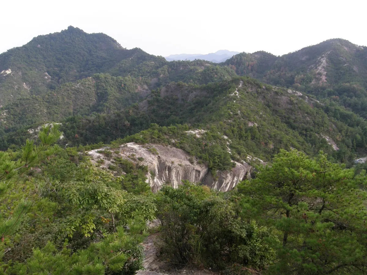
A 251-meter mountain in Kasai City featuring Muromachi period castle ruins, a historic stone Buddha, and coastal views.
What it is
- A 251-meter high mountain located within the Kasai Alps range.
- The site of Zenbo Castle, built by Akamatsu Norishige during the Muromachi period.
- Part of the designated Furubakke Nature Park area in Kasai City.
- A historic location where a castle fell during the Kakitsu Rebellion of 1441.
What to see
- Rock formations and the remains of the former castle at the summit.
- A Nara period stone Buddha statue housed within Furubakke Temple.
- Panoramic views of the Harima Sea and Awaji Island from the peak.
- A nationally designated Important Cultural Property located at the temple.
Getting there
- The mountain summit is located two kilometers from Harima-Shimosato Station.
- A hiking trail from Furubakke Temple to the summit takes approximately one hour.
14
Mount Kokuzō
HYōGO · PLACE 虚空蔵山
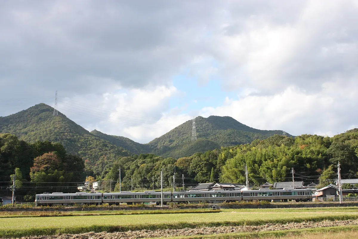
A 596-meter peak in Hyogo featuring historic temple ruins, a shrine, and scenic hiking trails for nature enthusiasts.
What it is
- A 596-meter mountain bordering Tanbasasayama and Sanda in Hyogo Prefecture.
- Site of the former Kokuzo-do Temple founded by Prince Shotoku.
- A designated peak on the list of 100 Mountains of Hyogo.
- Part of the Kinki Nature Trail serving as a major river watershed.
What to see
- Sakatare Shrine located along the main approach to the summit.
- The Hyogo Museum of Ceramic Art situated at the base of the mountain.
- Ruins of temple buildings destroyed by Akechi Mitsuhide in 1579.
- Panoramic views from the summit overlooking the Kakogawa and Mukogawa rivers.
When to go
- Annual traditional climb held to view the first sunrise of the New Year.
Getting there
- Hiking trails are accessible from Aimoto and Kusano stations.
15
Mount Nishigatake
HYōGO · PLACE 西ヶ嶽
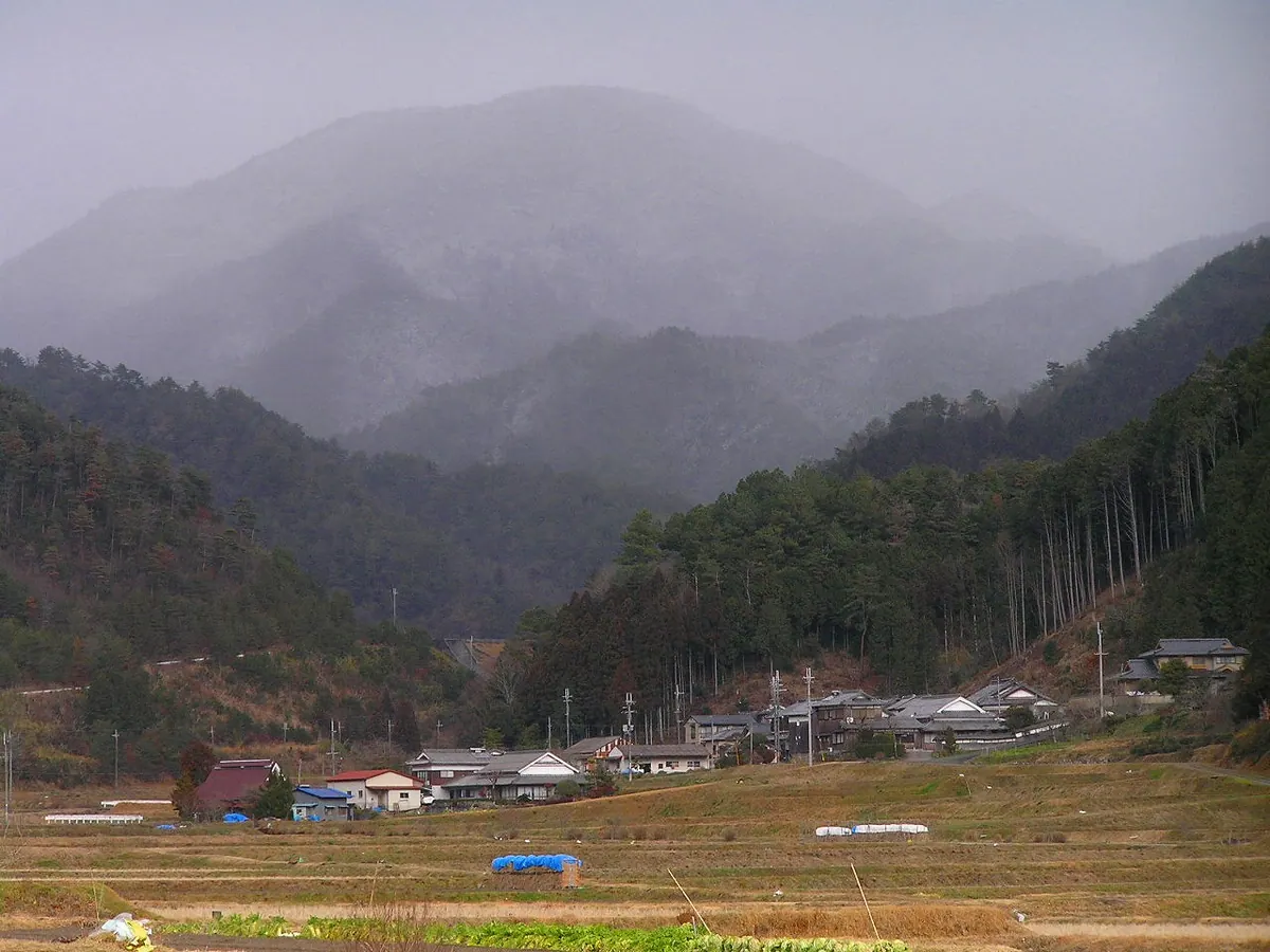
A 727-meter peak in Hyogo once used for Shugendo training, offering panoramic views and historic mountain ascetic caves.
What it is
- A 727-meter mountain forming part of the Taki Mountains in Tanba-Sasayama.
- A former center for Shugendo practitioners who performed mountain asceticism.
- The northern face features steep cliffs and numerous rocky areas.
- A filming location for a television drama series.
What to see
- The summit provides a 360-degree view of the surrounding landscape.
- Aizen-kutsu is a natural cave used as a historic training site.
- A statue of Aizen Myoo is enshrined inside the natural cave.
- Rhododendrons and azaleas grow along the rocky slopes of the mountain.
When to go
- Be aware that bears have been sighted in the vicinity recently.
Getting there
- The climb from Fujioka Dam to the summit takes approximately 1.5 hours.
16
Mount Higashiotafuku
HYōGO · PLACE 東お多福山
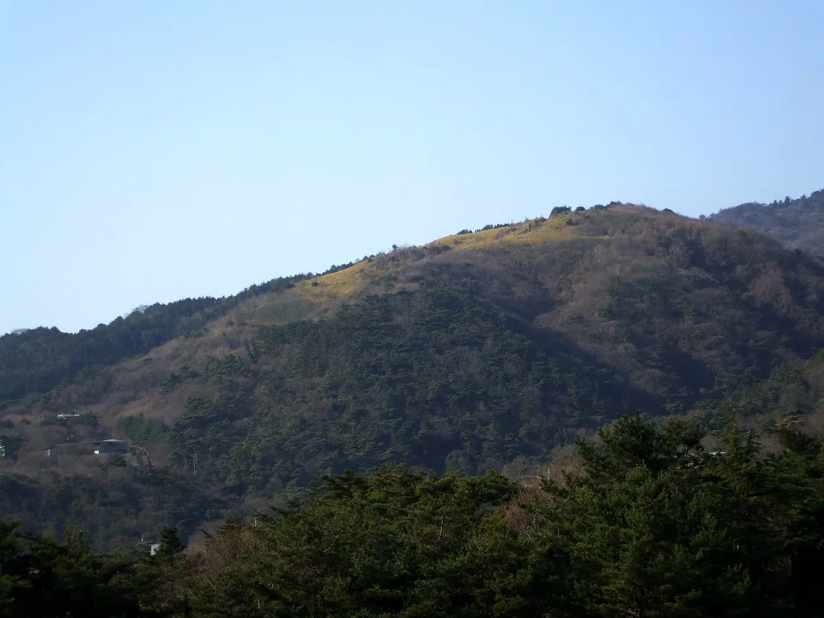
A 697-meter peak in the Rokko range featuring unique bamboo grass meadows and views of the surrounding mountain ridges.
What it is
- A 697-meter mountain peak located on the border of Kobe and Ashiya cities.
- Part of the Rokko mountain range consisting of sandstone, slate, and chert.
- A summit area characterized by open meadows of bamboo grass.
- A peak separated from the main ridge by the Otsuki and Gosukebashi faults.
What to see
- Expansive bamboo grass meadows located near the summit area.
- A wooden sign marking the peak in place of a traditional triangulation point.
- Views overlooking the highest point of the neighboring Mount Rokko.
- The Amagatoge mountain pass which serves as an access route to the top.
Getting there
- Start the hike from the Higashi Otafuku-yama bus stop.
- The walk from the bus stop to the summit takes approximately fifty minutes.
17
Mount Seppiko
HYōGO · PLACE 雪彦山
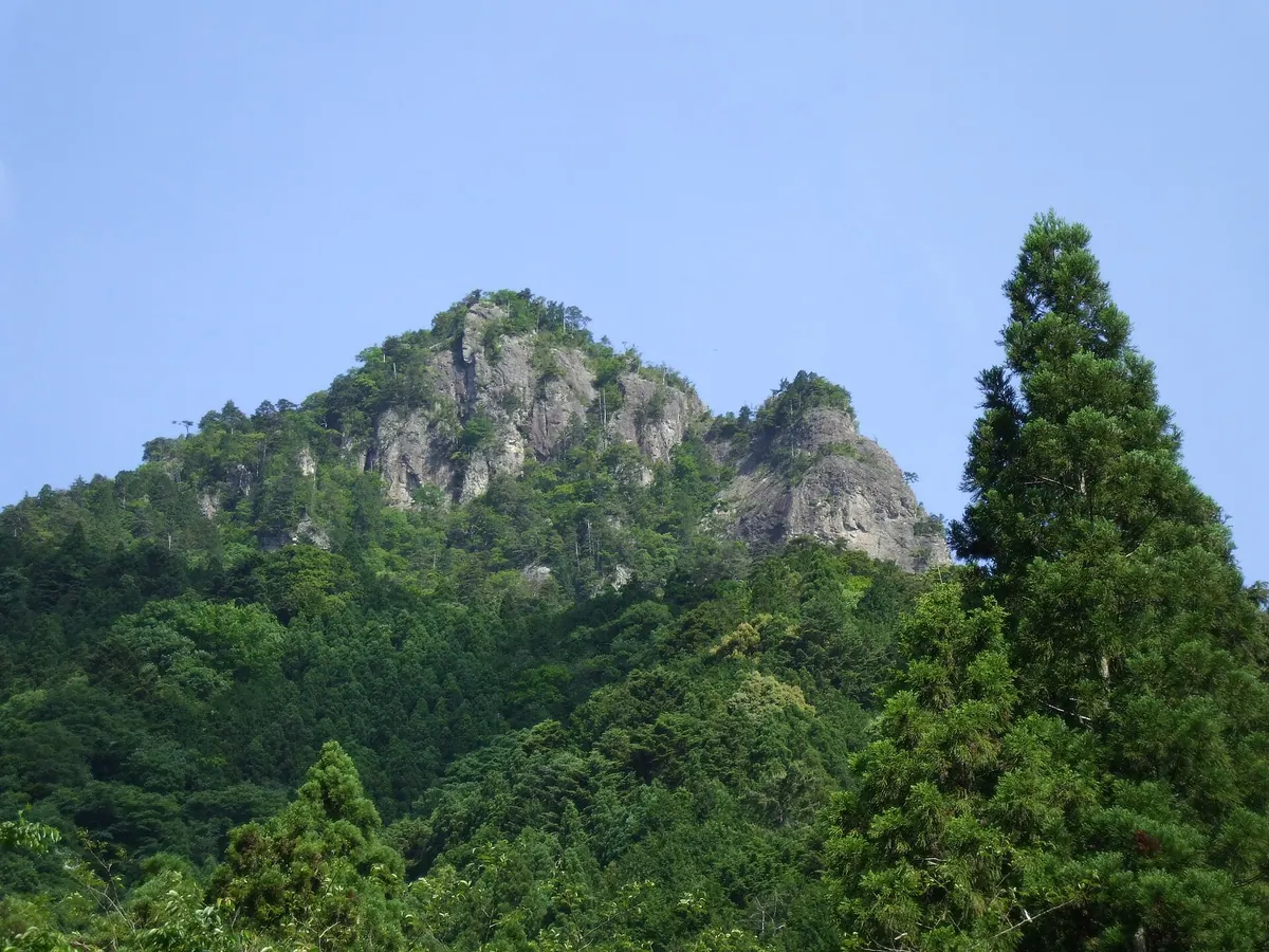
A sacred mountain in Himeji known for Shugendo asceticism, rock climbing, and its historic shrine founded in the seventh century.
What it is
- One of the Three Hikosan Mountains of Japan and a site for Shugendo ascetic practices.
- A peak standing 811.1 meters high within the Seppiko-Mineyama Prefectural Natural Park.
- Kano Shrine was founded here by Hodo Sennin during the reign of Empress Suiko.
- The area is listed among the 100 Landscapes of Japan for its volcanic rock formations.
What to see
- The Otenjo-dake peak offering views from 811.1 meters above sea level.
- Kano Shrine main hall which is a designated cultural property of Himeji.
- Late Cretaceous volcanic rock faces popular with local rock climbers.
- The headwaters of the Yumesaki and Sugao rivers at the southern foot.
Getting there
- Buses run from Himeji Station to the Yamanouchi or Shikagatsubo stops.
18
Mount Yuzuruha
HYōGO · PLACE 諭鶴羽山
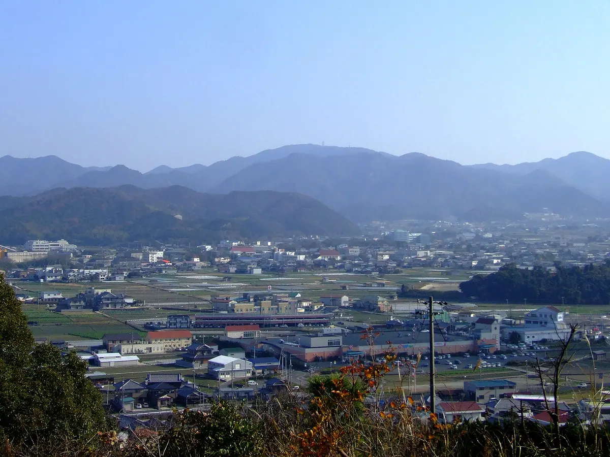
The highest peak on Awaji Island, featuring an ancient shrine and vast fields of wild narcissus flowers within a national park.
What it is
- The highest peak on Awaji Island standing at an elevation of 607.8 meters.
- Part of the Setonaikai National Park consisting of Cretaceous sedimentary rocks.
- Home to Yuzuruha Shrine, which was reportedly founded during the reign of Emperor Kaika.
- One of the three peaks of Awaji dedicated to deities including Izanami-no-mikoto.
What to see
- Yuzuruha Shrine located about 400 meters south of the mountain summit.
- Wild narcissus flowers growing across seven hectares on the southern slope.
- A protected forest around the shrine designated as a prefectural natural monument.
- A stone marker from 1334 located along the ancient approach path.
When to go
- The annual spring festival takes place on the second Saturday of April.
19
Mount Yajuro
HYōGO · PLACE 弥十郎ヶ嶽
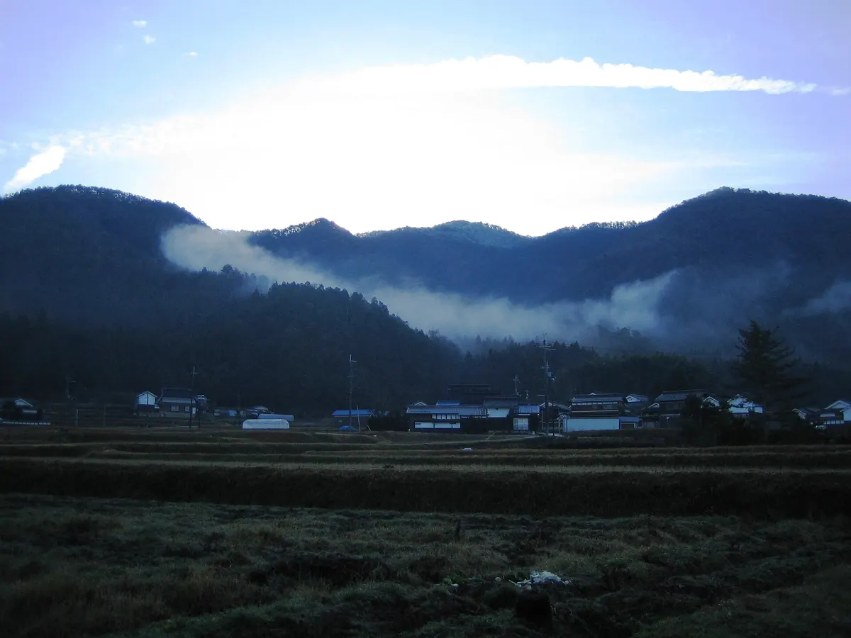
A 715-meter peak in Tanba-Sasayama featuring medieval castle ruins, a mountain cave, and panoramic views of the northern basin.
What it is
- The highest mountain in the southern Sasayama Basin at 715.1 meters.
- Site of a medieval castle known as Heinai-maru.
- A hiking destination featuring a second-class triangulation point at the summit.
What to see
- A 180-degree panoramic view looking toward the north from the peak.
- Cedar and cypress coniferous forests growing near the mountain summit.
- A cave located approximately 500 meters northwest of the summit.
- Ruins of historical stone walls at the Shijukuin site.
When to go
- Allow one to two hours for the ascent to the summit.
Getting there
- Access the trailhead by taking a bus from Ushirogawa station.
- Common climbing paths include the Taketani and Yakushigahara courses.
20
Mount Myōken
HYōGO · PLACE 妙見山
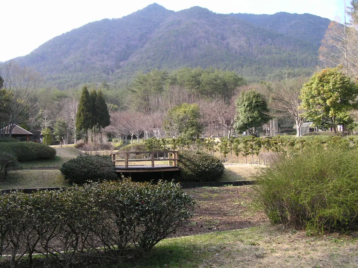
A sacred peak on the Osaka-Hyogo border featuring an Edo-period temple and a ten-thousand-year-old natural monument beech forest.
What it is
- A peak in the Hokusetsu mountain range spanning Hyogo and Osaka Prefectures.
- Home to Nose Myokendo temple established by Lord Nose Yoritsugu in the Edo period.
- The southern limit for natural beech forests in Japan.
- A site featuring Hontaki-ji temple founded at a waterfall in 1935.
What to see
- Nose Myokendo temple buildings located near the mountain summit.
- A natural monument beech forest that is over ten thousand years old.
- A fourth-class triangulation point marking the highest point of the mountain.
- Hontaki-ji temple situated at a mountain waterfall.
Getting there
- Five hiking routes lead to the summit from Myokenguchi Station.
- Public transport to the summit ceased operations in December 2023.