Mount Tekkai
鉄拐山
A 237-meter peak in the Rokko Mountains offering hiking trails and historical significance as a medieval surprise attack site.
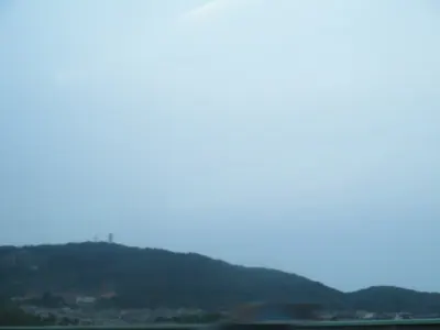
What it is
- A mountain standing 237 meters high on the border of Suma and Tarumi wards.
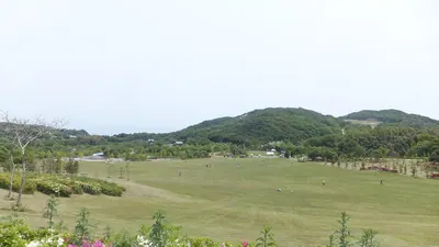
- The westernmost point of the Rokko Mountains featuring weathered granite and secondary forests.
- A historical site where Minamoto no Yoshitaka reportedly launched a surprise military attack.
- A key waypoint located along the popular Rokko Traverse Ridge hiking route.
What to see
- A first-class reconstruction reference point installed near the mountain summit.
- Hiking trails connecting the peak to Mount Hatafuri and the former Mount Takakura.
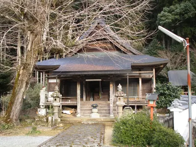
- The Myoken-do ruins located along the approach route from Suma Station.
- Natural secondary forests and granite rock formations surrounding the summit area.
Getting there
- Walk approximately 1.7 kilometers along hiking trails from Sumaura-koen Station.
- Follow the trail from Takakuradai passing through Mount Oraga to reach the peak.
- Access the mountain via a route from Suma Station passing through Myoken-do ruins.
Notes written by Japan Gems from facts in Japanese Wikipedia.
Where it is
Mount Tekkai Open in Google Maps
この施設の関係者の方へ
このページは公開情報をもとに Japan Gems が作成し、訪日外国人向けに英語で掲載しています。 写真や情報の追加・修正を承っています。お店の写真に差し替えることもできます。
このページの情報を更新する