

20 Mountains in Niigata worth your time
Japan Gems
46 Mountains in Niigata, with what to see and how to get there.
Niigata has 46 mountains on Japan Gems. Below are the 20 we can tell you the most about — each one written up in English from Japanese sources, with what to see and how to get there. See all mountains in Niigata.
01
Mount Atago
NIIGATA · PLACE 愛宕山
A 336-meter mountain in Niigata featuring the ruins of Kiroku Castle and a temple dedicated to its fallen lord.
What it is
- A 336.3-meter mountain that served as the site of the former Kiroku Castle.
- The historical seat of power for the Shittaka clan who ruled the surrounding area.
- Home to Ryusen-in Temple, established in 1463 to mourn the castle lord Shittaka Shinzaburo.
- A natural landmark situated near the junction of the Nobori and Kushi Rivers.
What to see
- A horizontal cave known as Ranna located near the mountain summit.
- The remains of a signal fire site on the northeastern slope of the mountain.
- Ryusen-in Temple, which commemorates the lord who died in battle in 1459.
- Panoramic views of Minamiuonuma City from the various historical castle points.
Getting there
- Take a 15-minute bus ride from Muikamachi Station to the Yoshiyama stop.
- The hike to the summit takes approximately 30 minutes from the parking lot.
- Accessible by car via the Shiozawa-Ishiuchi Interchange on the Kan-etsu Expressway.
02
Mount Takadairanokashira
NIIGATA · PLACE 高平ノ頭
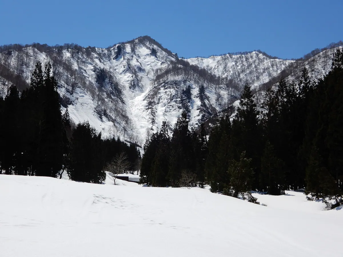
A 1,278-meter peak in Niigata offering a three-hour hike through the Uonuma Renpo Prefectural Natural Park.
What it is
- A 1,278-meter mountain peak located in the Echigo Mountain Range
- Part of the protected Uonuma Renpo Prefectural Natural Park
- A natural border between Minamiuonuma City and Yuzawa Town
- A hiking destination situated near Mount Makihata and Mount Asahi
What to see
- Views of the surrounding Echigo Mountain Range from the summit
- The Nobori and Nishiyago rivers flowing near the mountain base
- Natural landscapes preserved within the Prefectural Natural Park
Getting there
- Three-hour climbing route starting from the Minamiuonuma side
- Three-hour ascent beginning from the Asahihara trailhead
- Buses run from Muikamachi Station to the Nishiyago bus stop
- Buses travel from Echigo-Yuzawa Station to the Asahihara stop
- Rokurozawa parking lot is accessible via National Route 291
- Twenty-minute drive from Yuzawa Interchange to the Asahihara area
03
Mount Kubiki-koma
NIIGATA · PLACE 頸城駒ケ岳
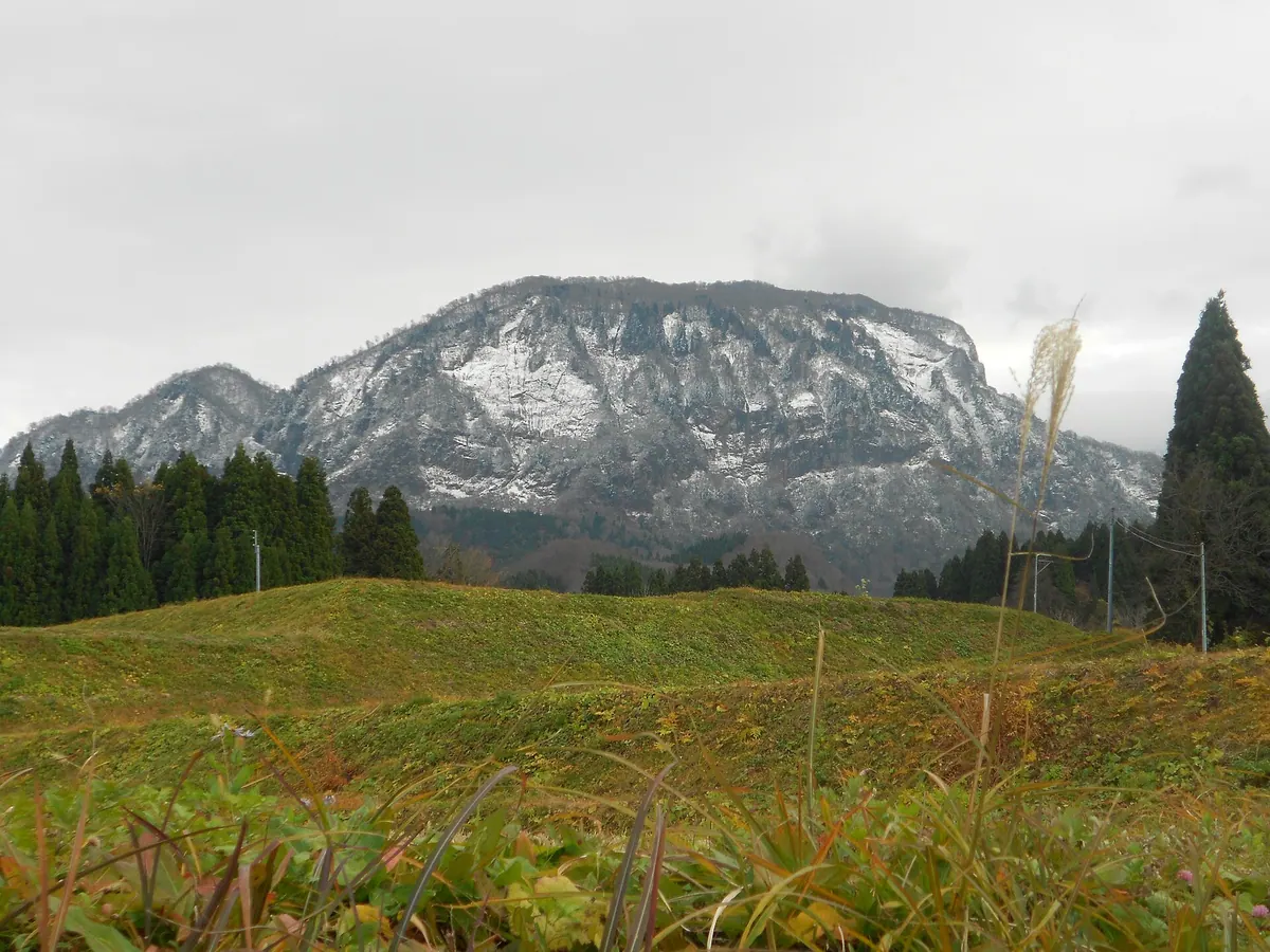
A 1,487-meter peak in Hakuba Sanroku Prefectural Natural Park famous for massive winter icicles and scenic highland trails.
What it is
- A mountain standing 1487.4 meters tall in Itoigawa City.
- Part of the Hakuba Sanroku Prefectural Natural Park.
- A destination featuring the Umiya Highlands on its eastern side at 732 meters altitude.
What to see
- Large icicles reaching over 100 meters long during the winter season.
- Views of nearby peaks including Mount Nokogiri, Mount Amakazari, and Mount Myojo.
- The active volcano Niigata Yakeyama located in the surrounding vicinity.
- Hiking trails passing through the Umiya Highlands and Umiya Sankyo Park.
When to go
- Winter to see the formation of massive icicles over 100 meters long.
Getting there
- The Saikai climbing route begins at Umiya Sankyo Park.
- The Nechi climbing route starts from the Daigando district.
- A connecting trail allows access from the neighboring Mount Amakazari.
04
Mount Kakuda
NIIGATA · PLACE 角田山
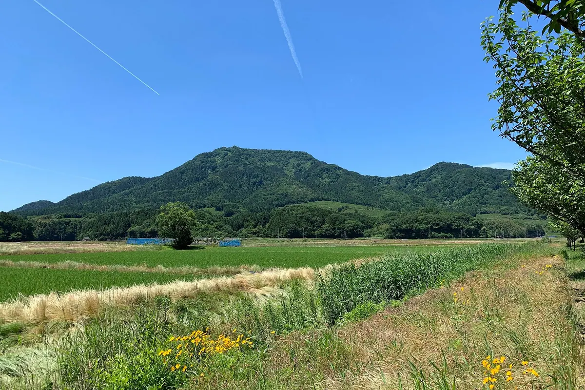
A 481-meter peak in a Quasi-National Park offering seven hiking trails and seasonal wildflowers for nature enthusiasts.
What it is
- A 481.7-meter mountain located within the Sado-Yahiko-Yoneyama Quasi-National Park.
- A designated peak on the list of New 100 Famous Flower Mountains.
- A natural site also known by the name Mount Chojahara.
- Home to the Kakudayama Nature Museum which opened in 1994.
What to see
- Seven established hiking courses leading to the mountain summit.
- A spacious peak area characterized by dense natural vegetation.
- Snowwort and dogtooth violets blooming across the landscape during spring.
- Active persimmon orchards located on the lower slopes of the mountain.
When to go
- Springtime to see the blooming snowwort and dogtooth violets.
Getting there
- Bus services connect Maki Station directly to the various trailheads.
- Parking lots are provided at most of the mountain trailhead locations.
05
Mount Echigo-Komagatake
NIIGATA · PLACE 越後駒ヶ岳
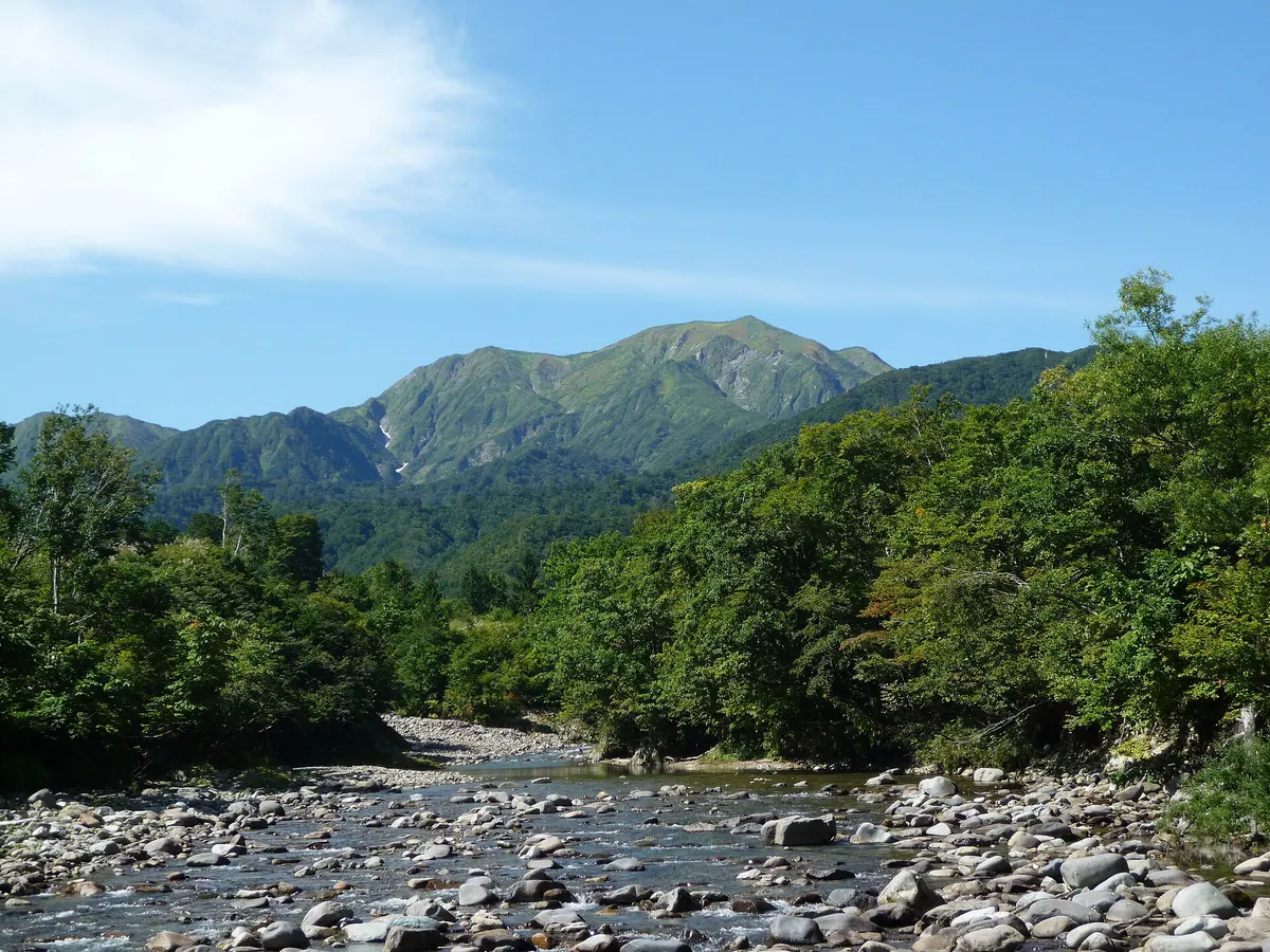
A 2,003-meter peak in the Echigo Sanzan range, famous for its dramatic slab walls and year-round snow in the valleys.
What it is
- A 2,003-meter mountain also known as Uonuma Komagatake.
- One of the 100 Famous Japanese Mountains located in Niigata Prefecture.
- Part of the Echigo Sanzan mountain group alongside Nakano-dake and Hakkai.
- A prominent peak featuring large slab walls suitable for climbing.
What to see
- Deep valleys where snow remains visible even during the midsummer months.
- Expansive views of neighboring peaks Mount Nakano-dake and Mount Hakkai.
- The Koma-no-koya mountain hut located near the summit.
- Large granite slab walls that define the mountain's rugged landscape.
When to go
- Midsummer to see the contrast of green slopes and lingering valley snow.
- Winter months when the area experiences exceptionally heavy snowfall.
Getting there
- Access the main hiking trail starting from Shiori Pass.
06
Mount Bunō
NIIGATA · PLACE 武能岳
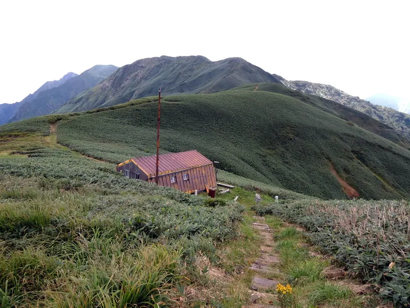
A 1,760-meter peak on the Gunma border offering national park views and access to the extensive Gunma Border Ridge Trail.
What it is
- A 1,760-meter mountain located within the Joshin'etsu-kogen National Park.
- One of the 100 Mountains of Gunma situated on the border of Yuzawa and Minakami.
- A key point along the long-distance Gunma Border Ridge Trail.
- A natural watershed near the Yubiso and Uono rivers.
What to see
- Views of nearby peaks including Mount Tanigawa and Mount Asahi.
- The eastern ridge scenery protected within the national park boundaries.
- Yomogi Hut, a mountain lodge at 1,529 meters that accommodates twenty people.
- Shirakaba Shelter, a small mountain refuge located at 1,267 meters.
Getting there
- The Yomogi trailhead is a fifty-minute walk from Tsuchitaru Station.
- The trailhead is a thirty-minute drive from the Yuzawa Interchange.
- Free parking for 100 cars is available at the Shigekura trail parking lot.
07
Mount Naeba
NIIGATA · PLACE 苗場山
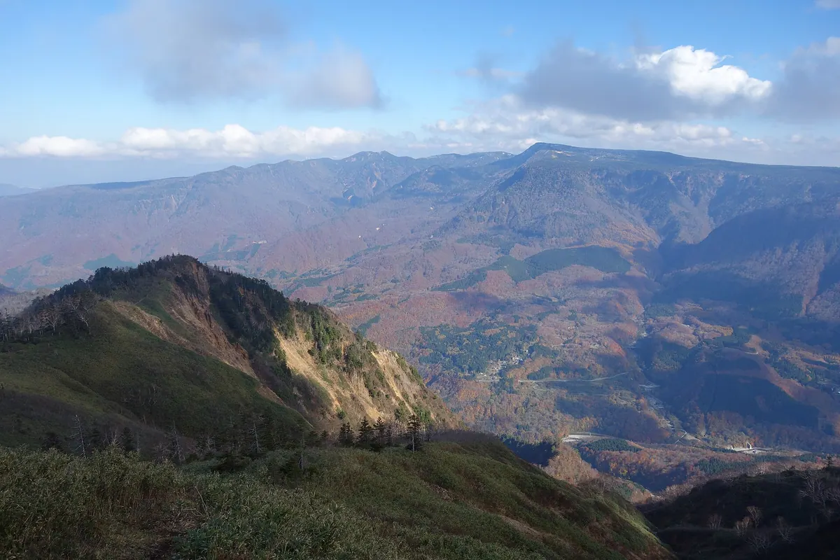
A 2,145-meter stratovolcano featuring a massive summit plateau with high-altitude marshes and shrines within a national park.
What it is
- A 2,145-meter stratovolcano located on the border of Niigata and Nagano prefectures.
- Part of the Joshin'etsu Kogen National Park since its designation in 1949.
- A mountain featuring a 600-hectare flat summit plateau with protected high-altitude wetlands.
- Home to the Ime and Naeba Shrines and the Kagura Ski Resort.
What to see
- Numerous ponds and wetlands scattered across the expansive summit plateau.
- The Ime Shrine and Naeba Shrine located on the mountain grounds.
- Andesite lava formations that compose the structure of the volcano.
- The Nature Experience Exchange Center mountain hut serving hikers near the top.
- Vast marshes designated as important wetlands by the Japanese government.
Getting there
- The summit plateau is accessible via the Koakazawa and Haraikawa hiking trails.
- Official site
- www.naeba.gr.jp
08
Mount Makihata
NIIGATA · PLACE 巻機山
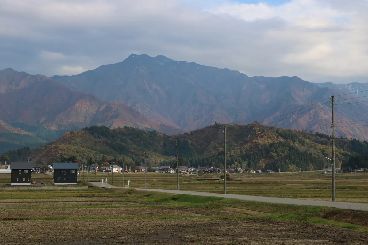
A 1,967-meter peak in Niigata and Gunma featuring high-altitude wetlands and status as one of Japan's 100 Famous Mountains.
What it is
- A 1,967-meter peak located within the Mikuni Mountains on the Niigata and Gunma border.
- One of Japan's 100 Famous Mountains protected within Uonuma Renpo Prefectural Natural Park.
- A sacred site worshipped by local residents as a deity of weaving.
- A vital headwater source for both the Tone and Shinano rivers.
What to see
- High-altitude wetlands and ponds located near the summit area.
- Diverse alpine flora growing across the upper slopes of the mountain.
- The actual highest point situated 400 meters away from the official summit sign.
- An unmanned mountain hut positioned between Maemakihata and the main peak.
Getting there
- The main climbing route begins from the Shimizu settlement in Minamiuonuma.
- Buses provide transportation from Muikamachi Station to the Shimizu trailhead.
09
Mount Iiji
NIIGATA · PLACE 飯士山
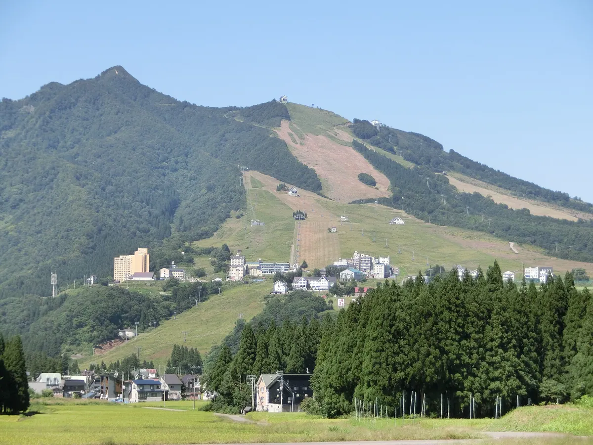
A 1,111-meter stratovolcano known as Ueda Fuji, offering panoramic mountain views and hosting popular ski resorts on its slopes.
What it is
- A Quaternary stratovolcano active between 200,000 and 500,000 years ago.
- The mountain features large lava domes at the peak and Shigura Mountain.
- A grain deity is enshrined at the summit of the 1,111-meter peak.
- The peak is locally referred to as Ueda Fuji due to its shape.
What to see
- A 360-degree view of the Echigo Mountains from the summit.
- Maiko Snow Resort located on the northern slope of the mountain.
- Iwappara Ski Resort situated on the southern slope.
- Azaleas and Tamushiba flowers blooming near the summit.
When to go
- Early May to see the blooming azaleas and Tamushiba near the peak.
Getting there
- The nearest train access is Iwappara-Skiing-Ground Station.
- Hiking from the Iwappara Ski Resort trailhead takes approximately 2.5 hours.
10
Mount Tanigawa
NIIGATA · PLACE 谷川岳
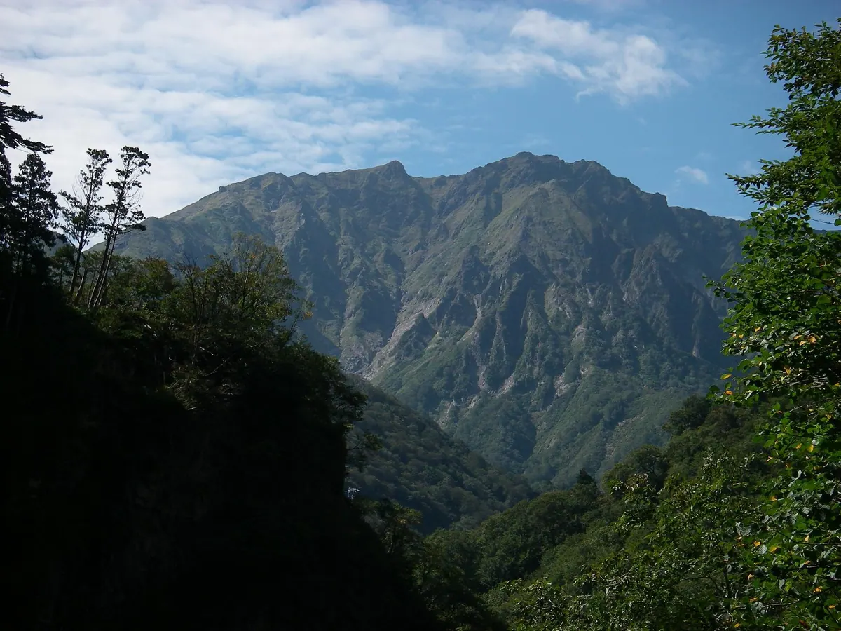
A prominent peak in Joshin'etsu-kogen National Park famous for its dramatic rock faces and accessible alpine hiking trails.
What it is
- A 1,977-meter mountain located on the border of Gunma and Niigata prefectures
- Part of the Joshin'etsu-kogen National Park and a designated UNESCO Eco Park
- One of Japan's Three Major Rock Faces known for challenging climbing routes
- A site where over 800 people have died since record-keeping began in 1931
What to see
- The twin peaks of Toma-no-mimi and Oki-no-mimi at the summit
- The sheer Ichinokurasawa rock face popular with experienced rock climbers
- Views from the Tanigawa-dake Ropeway connecting the base to Tenjin Ridge
- The Kan-etsu and Shimizu tunnels which pass directly through the mountain
When to go
- An annual safety prayer festival is held on the Gunma side every July
Getting there
- Accessible via Doai Station located on the Joetsu Line
11
Mount Myojo (Niigata)
NIIGATA · PLACE 明星山
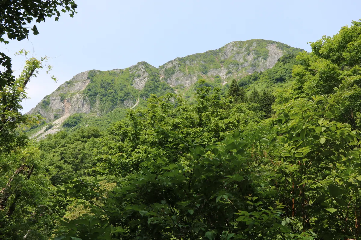
A 1,188-meter limestone mountain in Niigata featuring a massive rock wall, wild bonsai trees, and views of the Hida Mountains.
What it is
- A 1,188-meter peak composed entirely of limestone within Hakuba Sanroku Prefectural Natural Park.
- A designated Itoigawa Geosite known for its massive 400-meter southern rock wall.
- The natural source area where the Hime River originates.
- A popular destination for rock climbing and mountain trekking in Niigata Prefecture.
What to see
- The sheer 400-meter limestone rock wall on the southern face of the mountain.
- Wild Itoigawa Shinpaku bonsai trees growing directly on the steep rock surfaces.
- Panoramic views of the Hida Mountains and the Sea of Japan from the summit.
- The nearby Kotakigawa Jade Gorge, a known site for jade production.
Getting there
- Access the mountain via trailheads located at Oka village.
- Alternative hiking trails begin at the Kotaki Jade Gorge area.
12
Mount Ito
NIIGATA · PLACE 以東岳
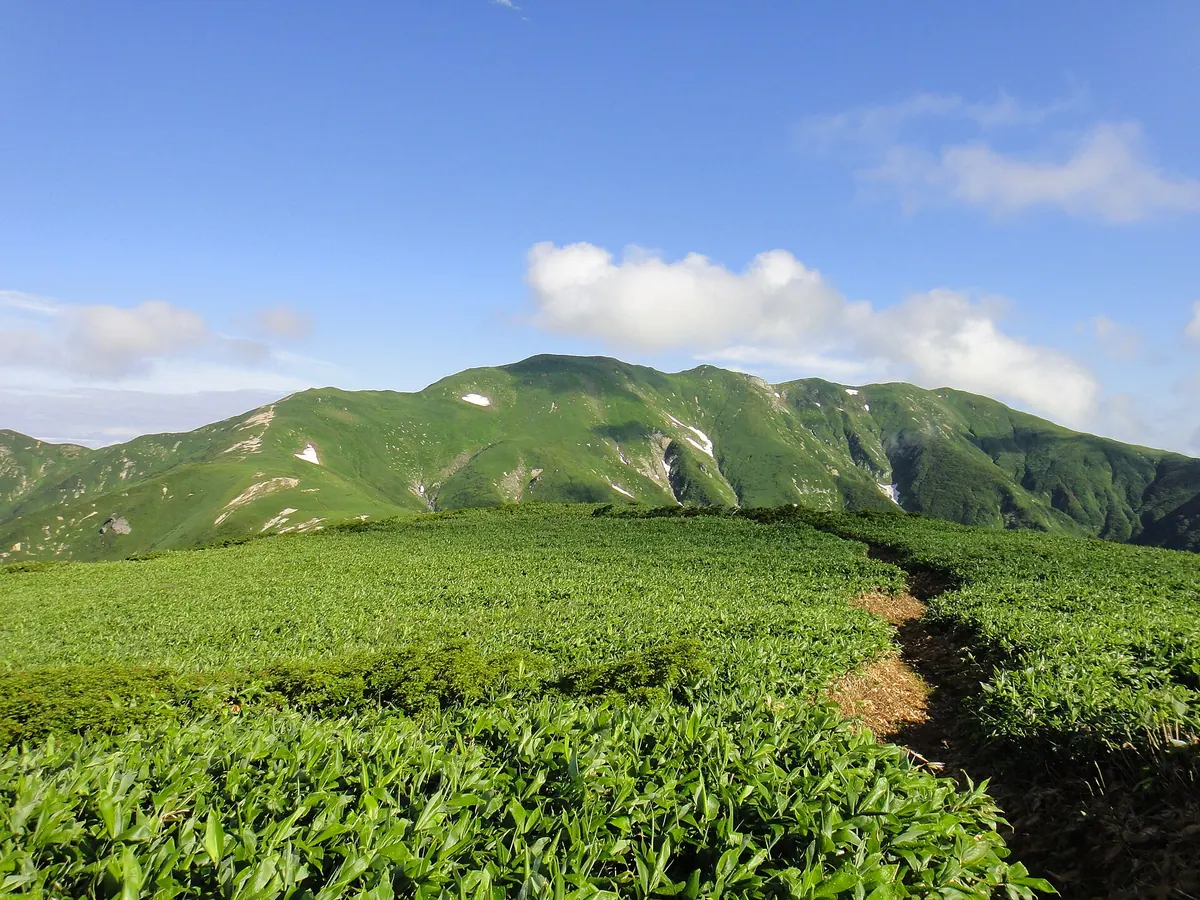
A 1,771-meter peak in Bandai-Asahi National Park offering views of Lake Otori and the northern Asahi Range.
What it is
- A 1,771.4-meter mountain located on the border of Yamagata and Niigata prefectures
- Part of the Bandai-Asahi National Park and listed among Japan's 200 Famous Mountains
- The northern end of the Asahi Range hiking trail
- A natural site featuring Lake Otori at an elevation of 966 meters
What to see
- Panoramic views of Lake Otori and Mount Oasahi from the summit
- A modern evacuation hut established near the summit in 2017
- The Takitaro Sanso hut which can accommodate up to 100 people
- Two suspension bridges located along the mountain trails
When to go
- Between June and October when the road to the trailhead is open
- Avoid winter when the suspension bridges are removed for the season
Getting there
- The main trailhead is located at the Awataki Dam
13
Tairappyō Yama
NIIGATA · PLACE 平標山
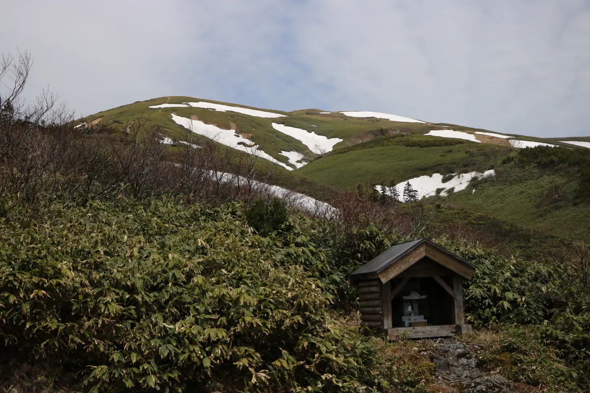
A 1,983-meter peak in Joshin'etsu-kogen National Park famous for alpine flowers and panoramic views along the Tanigawa mountain range.
What it is
- A 1,983.8 meter mountain peak located within the Joshin'etsu-kogen National Park.
- Part of the Tanigawa mountain range bordering Niigata and Gunma prefectures.
- Designated as one of Japan's 100 Famous Flower Mountains.
- A central junction connecting four different hiking trails at the summit.
What to see
- A third-class triangulation point marking the highest point of the summit.
- The Tairappyo Mountain House which provides seasonal accommodation for hikers.
- A guiding bell at the mountain house used to direct hikers during heavy fog.
- The Senpei-shimizu water source located near the mountain lodging area.
- Diverse alpine flora protected within the Minakami UNESCO Biosphere Reserve.
Getting there
- Buses run from Echigo-Yuzawa Station directly to the mountain trailhead.
14
Tengu Iwa
NIIGATA · PLACE 天狗岩
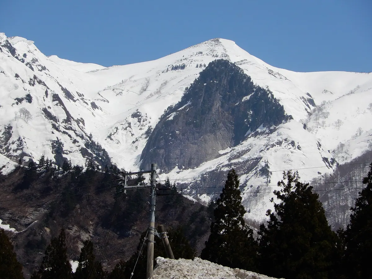
A rocky mountain ridge in Uonuma Renpo Prefectural Natural Park offering challenging hiking trails and views of Mount Waribiki.
What it is
- A rocky mountain peak located in Minamiuonuma City directly below Mount Waribiki.
- Part of the protected Uonuma Renpo Prefectural Natural Park landscape.
- A destination for experienced hikers situated near Mount Makihata and Mount Imosu.
What to see
- Rugged rock formations along the Tengu Ridge hiking route.
- The surrounding river valleys of Futagozawa and the Nobori River.
- Views of the neighboring peaks including Mount Waribiki and Mount Imosu.
Getting there
- Drive thirty minutes from the Shiozawa Ishiuchi Interchange to the Sakurazaka parking lot.
- Take a twenty-five minute taxi ride from Muikamachi Station to the trailhead.
- Ride a bus from Muikamachi Station to the Shimizu stop.
- Walk fifty minutes from the Shimizu bus stop to reach the Sakurazaka trailhead.
15
Mount Ōmine
NIIGATA · PLACE 大峰山 (湯沢町)
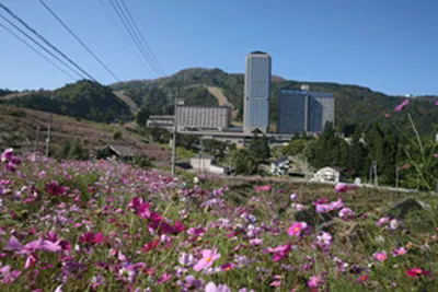
A mountain in Niigata offering panoramic basin views, hiking trails, and a summit rest area accessible from a major station.
What it is
- A mountain located in Yuzawa Town within Niigata Prefecture.
- The slopes host the NASPA Ski Garden for winter sports.
- A rest area with an observation deck stands at the summit.
- The mountain overlooks the Uonuma Basin and Yuzawa Town.
What to see
- Views of Mount Makihata and Mount Iiji from the summit observation deck.
- The Omine Hyakuban Kannon trail starting from Kandatsu Onsen.
- Panoramic views overlooking the Uonuma Basin and the town below.
Getting there
- Echigo-Yuzawa Station is situated at the eastern foot of the mountain.
- The Yuzawa Kogen Ropeway is a ten minute walk from the station.
- A hike from Yuzawa Kogen to the summit takes approximately forty minutes.
- Kandatsu Onsen is a thirty minute walk or fifteen minute bus ride from the station.
16
Mount Ubaminokashira
NIIGATA · PLACE 姥見ノ頭
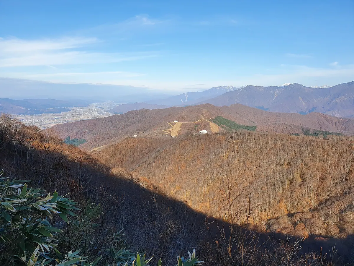
A 946-meter peak in Niigata offering accessible hiking trails and views of the surrounding Uonuma Renpo Prefectural Natural Park.
What it is
- A mountain peak standing at an elevation of 946 meters in Minamiuonuma City.
- Also known by the local names Matsudeyama or Takidani Fuji.
- Part of the protected Uonuma Renpo Prefectural Natural Park area.
- Situated directly opposite Mount Kinjo near the Komatsuzawa and Nobori rivers.
What to see
- Views of nearby peaks including Mount Makihata and Mount Asahi.
- Natural landscapes within the Uonuma Renpo Prefectural Natural Park.
- The surrounding river valleys of the Komatsuzawa and Nobori.
Getting there
- One hour hiking trail starting from the Maiko Gondola station.
- Three hour ascent available via the trail from Takidani.
- Three hour hiking route starting from the Ichinosawa area.
- Buses run from Echigo-Yuzawa Station to the nearby Maiko Snow Resort.
17
Mount Saburyu
NIIGATA · PLACE 佐武流山
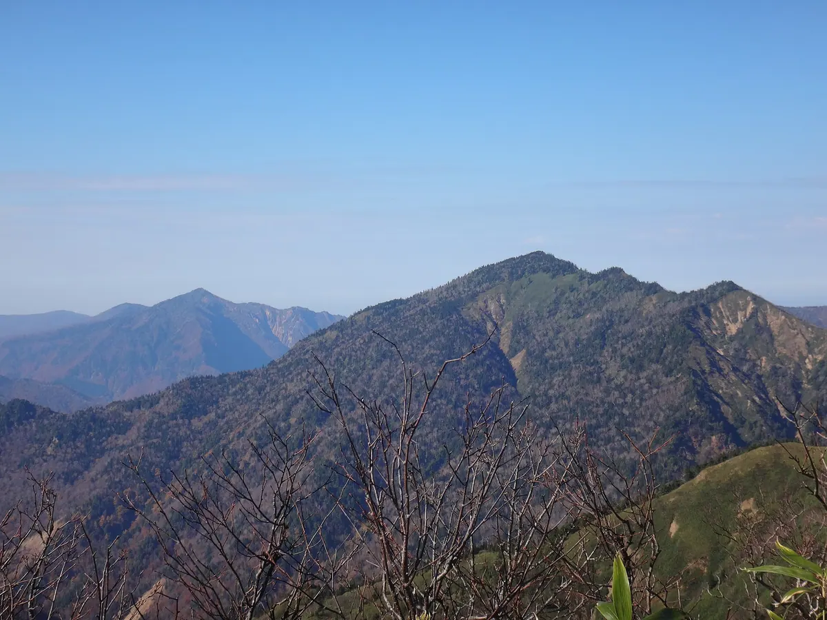
A 2,191-meter peak in Joshin'etsu-kogen National Park offering a challenging hike along the border of Nagano and Niigata.
What it is
- A 2,191-meter mountain located within the Joshin'etsu-kogen National Park.
- The highest point in both Sakae Village and Yuzawa Town.
- One of the 200 Remarkable Mountains of Japan.
- A peak named after the Saburyu River, formerly known as Nishizawadake.
What to see
- A second-class triangulation point located at the mountain summit.
- Panoramic views from the border of Nagano and Niigata Prefectures.
- A ridge trail connecting the peak to nearby Mount Naeba.
- Rugged terrain including the Hinomata River and Warusa Peak.
Getting there
- A common climbing route begins at the Kiriake Onsen trailhead.
- The trail to the summit passes through the Hinomata River area.
- Access from Mount Shirasuna is possible but difficult due to thick brush.
18
Mount Kirin
NIIGATA · PLACE 麒麟山
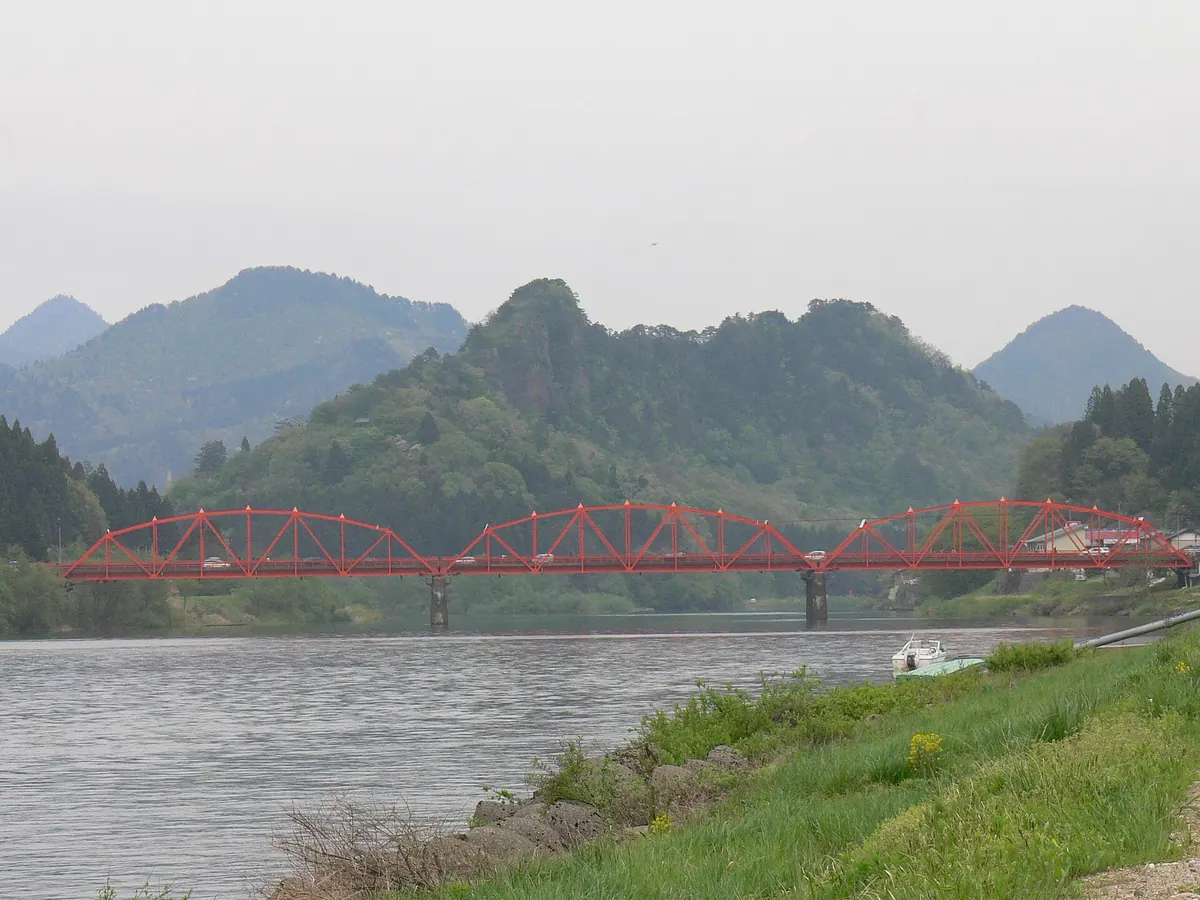
A 191-meter peak in Niigata featuring castle ruins and an observatory with views of the Agano River.
What it is
- A mountain standing 191 meters tall surrounded by the Tokonami and Agano rivers
- The former site of Tsugawa Castle with a triangulation point named Shiroyama
- Named after the Qilin, a mythical creature from Chinese folklore
- A location associated with local fox legends and the poet Ujo Noguchi
What to see
- The White Fox observatory providing views of the town and river
- The triangulation point located at an elevation of 194.75 meters
- Natural scenery where the Tokonami and Agano rivers meet the mountain base
When to go
- Visit during the Fox Wedding Festival held in the local area
Getting there
- Located near Tsugawa and Kanose stations for rail access
- Accessible by car via National Routes 49 and 459
19
Shigekura Dake
NIIGATA · PLACE 茂倉岳
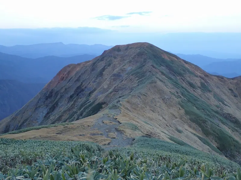
A prominent peak in the Mikuni Range offering high-altitude hiking within the Joshin'etsu-kogen National Park and a UNESCO Biosphere Reserve.
What it is
- A mountain peak situated on the border of Gunma and Niigata prefectures.
- Part of the Mikuni Mountain Range between Ichinokura Dake and Buno Dake.
- Located within the Joshin'etsu-kogen National Park and a UNESCO Biosphere Reserve.
- The Joetsu Line railway tunnels pass directly beneath the mountain mass.
What to see
- An evacuation hut located just below the mountain summit.
- Mountain views from the peak within the Uonuma Renpo Prefectural Natural Park.
- The Shigekura Shindo trail winding up from the Tsuchitaru area.
Getting there
- The summit is a seventy minute walk from Tanigawadake Okinomimi.
- The Shigekura Shindo trail begins near the Tsuchitaru Parking Area.
- The ascent from the Tsuchitaru trailhead takes over four hours.
20
Mount Mantarō
NIIGATA · PLACE 万太郎山
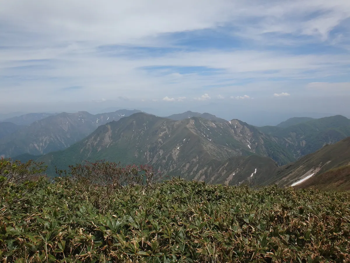
A 1,956-meter peak on the Gunma-Niigata border offering high-altitude hiking within the Jōshin'etsu-kōgen National Park.
What it is
- A mountain peak reaching 1,956 meters within the Tanigawa range.
- Part of the central watershed of Japan on the Gunma and Niigata border.
- A featured stop along the Gunma Border Ridge Trail.
- Located inside the protected Jōshin'etsu-kōgen National Park.
What to see
- A ventilation tower for the Kan-etsu Tunnel located on the mountainside.
- The unmanned Daishōji emergency hut which provides shelter for hikers.
- Panoramic views from the summit situated between Mount Tanigawa and Mount Taira-hyō.
- The Gosaku Shin-do trail which leads hikers to the peak.
Getting there
- The ascent from Tsuchitaru takes approximately four hours to reach the top.
- Parking spaces are available at the Gosaku Shin-do trailhead for visitors.