

20 Mountains in Nagano worth your time
Japan Gems
105 Mountains in Nagano, with what to see and how to get there.
Nagano has 105 mountains on Japan Gems. Below are the 20 we can tell you the most about — each one written up in English from Japanese sources, with what to see and how to get there. See all mountains in Nagano.
01
Mount Higashidate
NAGANO · PLACE 東館山
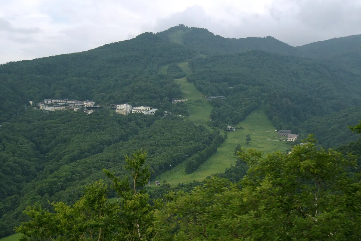
A 1,994-meter peak in the Shiga Highlands offering alpine botanical gardens and extensive ski slopes accessible by gondola.
What it is
- A mountain peak standing 1,994 meters high in the Shiga Highlands.
- The central hub of the Shiga Kogen ski area featuring numerous slopes.
- Home to the Higashidateyama Alpine Botanical Garden near the summit.
- A natural site surrounded by Mount Terakoya, Mount Nishidate, and Mount Shiga.
What to see
- Alpine plants and flowers growing in the high-altitude botanical garden.
- Panoramic views of the surrounding Nagano mountain ranges from the summit.
- Extensive networks of ski lifts and gondolas traversing the slopes.
- Diverse flora visible during the green season months.
When to go
- Visit during the green season to observe blooming alpine plants.
- Travel in winter to utilize the extensive network of ski slopes.
Getting there
- Take a bus from Yudanaka Station to Hoppo Onsen or Takamagahara.
- Ride the Higashidate Gondola Lift from Hoppo Onsen to the summit.
- Use the Takamagahara Line lift to reach the top from Takamagahara.
02
Mount Minamikoma
NAGANO · PLACE 南駒ヶ岳
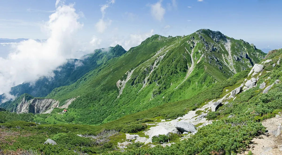
A 2,841-meter peak in the Kiso Mountains featuring a granite summit, glacial cirque, and rare alpine ptarmigans.
What it is
- A 2,841-meter peak located within the Kiso Mountains of Nagano Prefecture.
- One of the mountains selected for the official list of Japan's 200 Famous Mountains.
- A key stop along the Kiso Mountains longitudinal trekking trail.
- A natural habitat where rare ptarmigans have been confirmed to live.
What to see
- A small shrine located near the granite peak of the mountain.
- The Suribachikubo Cirque situated on the eastern side of the mountain.
- A mountain hut standing within the basin of the Suribachikubo Cirque.
- The Hyakken Nagi area which is a site of ongoing mountain collapse.
- Snow patterns on the slopes that resemble five monks during the spring.
When to go
- Spring is the time to view the five monks snow patterns on the slopes.
- Advance reservations are required for those planning to stay in manned mountain huts.
Getting there
- The shortest climbing route to the peak starts from the Inagawa Dam.
03
Mount Kinpu
NAGANO · PLACE 金峰山
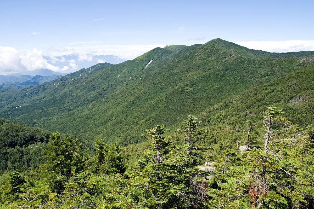
A 2,599-meter peak in Chichibu-Tama-Kai National Park featuring a massive summit rock formation and a historic mountain shrine.
What it is
- A 2,599-meter mountain on the border of Yamanashi and Nagano prefectures.
- One of the 100 Famous Japanese Mountains located within a national park.
- Site of the Kinzakura Shrine main sanctuary and former quartz mining operations.
- A natural divide between two major river systems also known as Koshu Mitakesan.
What to see
- The Gojo-iwa, a massive and distinctive rock formation at the summit.
- The Kinzakura Shrine main sanctuary building located at the highest point.
- A zone of dwarf stone pines surrounding the summit area.
- Panoramic views from the peak across the Chichibu-Tama-Kai National Park.
When to go
- During the climbing season when bus services are operational.
- Daylight hours suitable for hiking the mountain trails.
Getting there
- Buses run to Mizugaki Sanso and Otarumi Pass during the climbing season.
- Hiking trails to the summit begin from Mizugaki Sanso and Kawakamidaira.
04
Mount Yakebitai
NAGANO · PLACE 焼額山
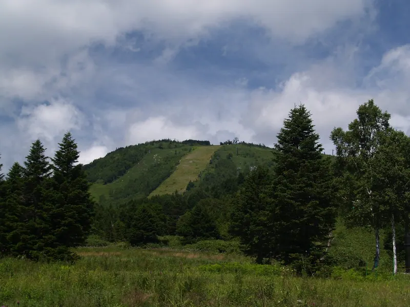
A 2,009-meter peak in Shiga Highlands offering Olympic-grade skiing, high-altitude moors, and scenic gondola rides for hikers and nature lovers.
What it is
- A 2,009-meter mountain located within the Shiga Highlands of Nagano Prefecture.
- A former venue for alpine skiing events during the 1998 Nagano Winter Olympics.
- A natural site featuring high moors and an undeveloped western slope.
What to see
- Chigoike pond and high-altitude moors located at the mountain summit.
- The Yakebitaiyama and Okushiga Kogen ski areas on the eastern slopes.
- A seven kilometer hiking trail connecting Ichinose and Okushiga Kogen.
- Panoramic views from gondola lifts operating during summer and autumn.
When to go
- Autumn for the changing foliage visible from the operating gondola lifts.
- Winter for skiing on slopes used during the 1998 Olympic Games.
- Summer for hiking the trail between Ichinose and Okushiga Kogen.
Getting there
- Buses run directly to the mountain from Nagano Station.
- Local bus services connect the mountain to Yudanaka Station.
05
Mount Kurohime
NAGANO · PLACE 黒姫山
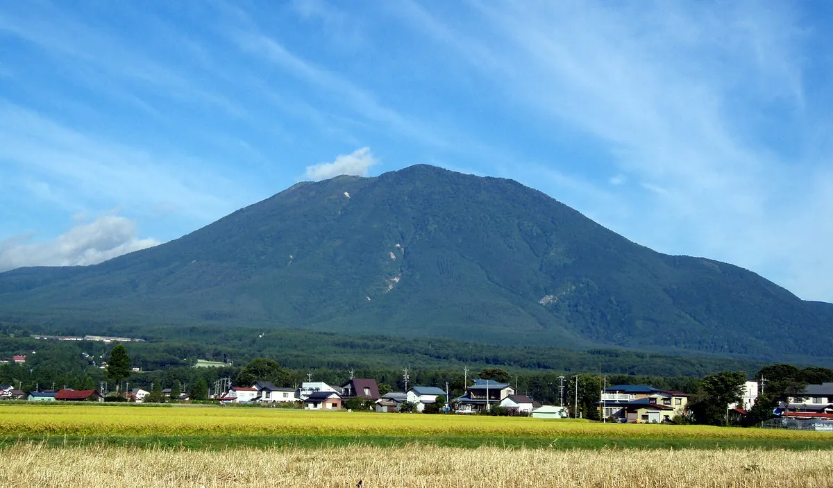
A 2,053-meter stratovolcano in Nagano offering protected wetlands, a summit shrine, and seasonal skiing within a national park.
What it is
- A 2,053-meter stratovolcano also known as Shinano Fuji in Nagano Prefecture.
- One of the Five Peaks of Northern Shinshu and a 200 Famous Japanese Mountain.
- Part of the Myoko-Togakushi Renzan National Park with activity dating back 250,000 years.
- A protected natural area featuring wetlands between the outer rim and central cone.
What to see
- A summit shrine and a second-class triangulation point at the highest peak.
- Protected wetlands located between the outer rim and the central cone.
- The Kurohime Kogen Snow Park situated on the eastern slope of the mountain.
- The Sasa-ga-mine Dam located 6.8 kilometers northwest of the summit.
When to go
- Climbing season begins with opening ceremonies held in mid-June.
- Winter months for skiing and snowboarding at the eastern slope snow park.
Getting there
- The mountain is located 6.3 kilometers west of Kurohime Station.
06
Kurumayama
NAGANO · PLACE 車山
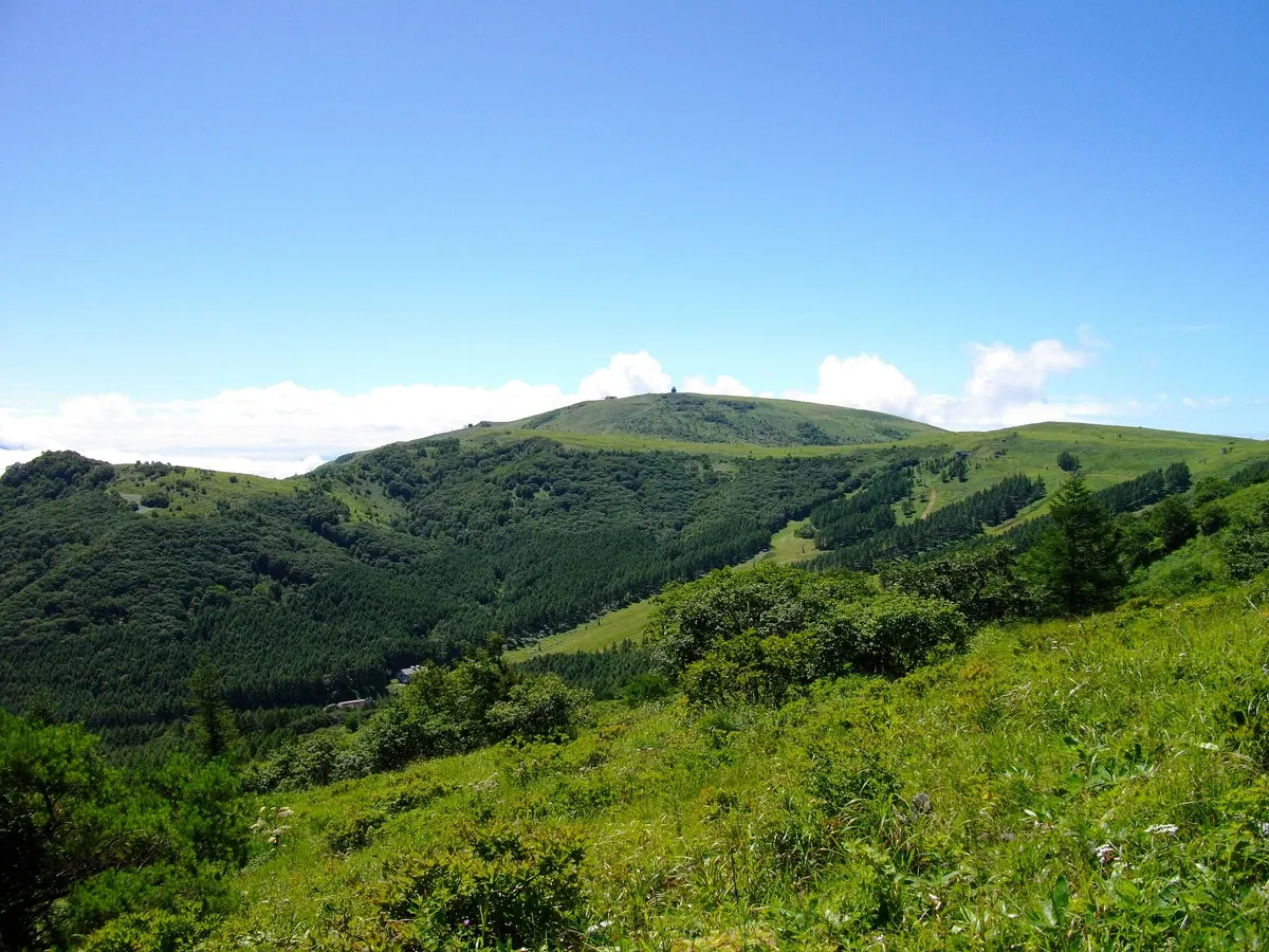
The highest peak of Kirigamine offering a mountain shrine, seasonal skiing, and hiking trails through scenic highland wetlands.
What it is
- The highest peak of the Kirigamine area reaching 1,925 meters in elevation.
- A designated Lover's Sanctuary regional heritage site on the border of Chino and Suwa.
- A multi-use highland area featuring a ski park, museum, and tennis courts.
- Home to a weather radar observation station that has operated since 1999.
What to see
- Kurumayama Shrine located at the summit surrounded by four distinct pillars.
- Nikko-kisuge lilies blooming prominently across the highland landscape.
- Hiking trails connecting the mountain peak to the Yashimagahara Wetlands.
- Panoramic views from the summit accessible by lifts during the summer season.
When to go
- July to see the yellow Nikko-kisuge lilies in bloom.
- October for the French Blue Meeting car event.
- Winter season for skiing at the Kurumayama Highland Ski Park.
- Every seven years to witness the Onbashira Festival held at the summit.
07
Mount Kasa
NAGANO · PLACE 笠ヶ岳
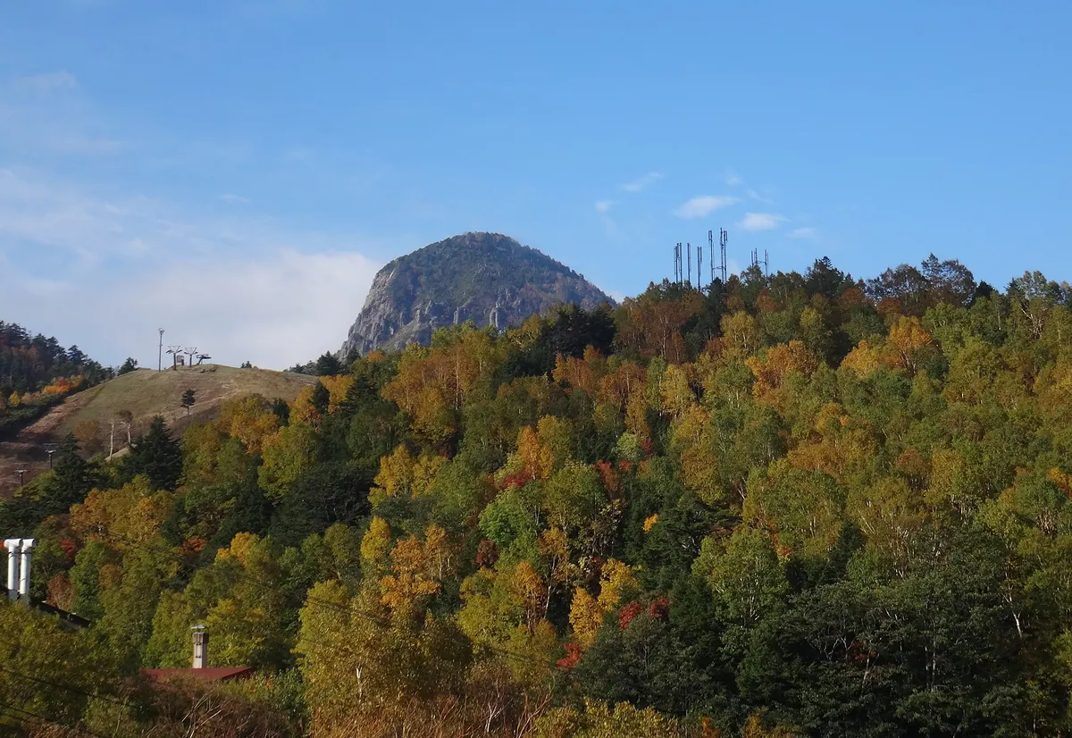
A 2,076-meter lava dome in the Shiga Highlands offering panoramic views and a summit shrine for hikers.
What it is
- A 2,076-meter lava dome located on the border of Yamanouchi and Takayama
- A prominent symbol of the Shiga Highlands listed among Japan's 300 famous mountains
- The site of the Sano Shrine inner shrine located at the summit
- A geological formation composed primarily of pyroxene andesite
What to see
- The inner shrine of Sano Shrine situated at the mountain peak
- Panoramic views of the Northern Alps and Mount Asama from the summit
- Wild lingonberries and rhododendrons blooming along the mountain slopes
- The distinct shape of the volcanic lava dome
When to go
- Summer months to see the blooming rhododendrons and lingonberries
Getting there
- A seven kilometer hiking trail begins at the Hotaru Onsen bus stop
- The summit is a one hour hike from Touge-no-Chaya
- Note that the original climbing route on the north ridge is currently closed
08
Mount Aka
NAGANO · PLACE 赤岳
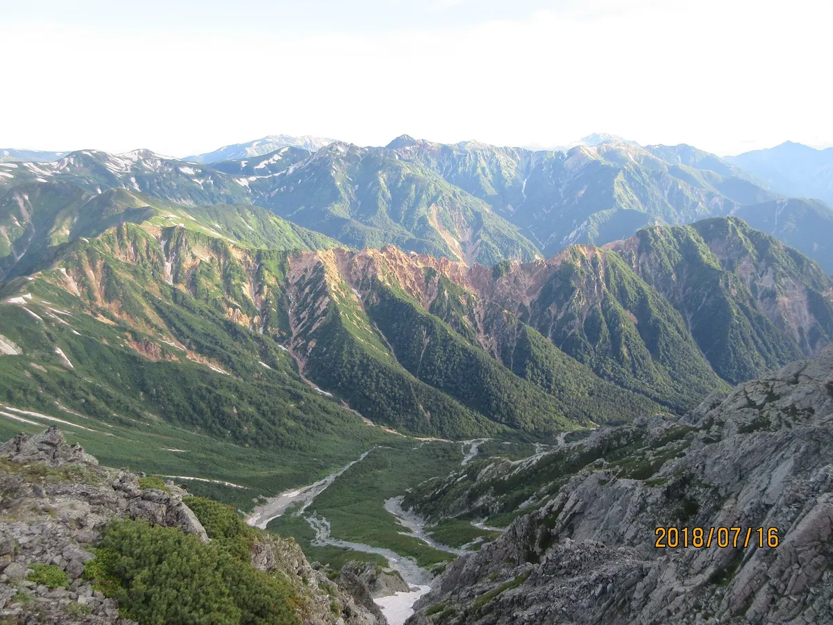
A rugged 2,416-meter peak in the Hida Mountains known for its crumbling ridges and challenging, trail-free alpine climbing routes.
What it is
- A 2,416-meter mountain peak located on the Io Ridge in the Hida Mountains.
- A sharp and crumbling peak situated within Omachi City in Nagano Prefecture.
- A group of jagged summits known as the Aka-dake Gendarme.
- A geothermal site featuring active fumaroles around the 2,086-meter mark.
What to see
- Sharp and crumbling rock formations along the main mountain ridge.
- The distinct group of jagged peaks called the Aka-dake Gendarme.
- Active volcanic fumaroles emitting steam near the lower 2,086-meter peak.
When to go
- Winter months for experienced climbers attempting to traverse the Io Ridge.
Getting there
- Start the climb from Shinhotaka Onsen to reach the mountain area.
- Access the peak via Yumata Onsen and the Mizumata River routes.
- Approach the summit using variation routes as there are no established hiking trails.
09
Mount Iō
NAGANO · PLACE 硫黄岳
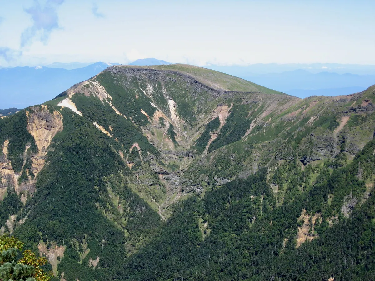
A 2,760-meter peak in Nagano featuring dramatic cliffs, alpine flora, and mountain huts within a quasi-national park.
What it is
- A 2,760-meter mountain peak located in the Yatsugatake Mountains of Nagano Prefecture
- Part of the Yatsugatake-Chushin Kogen Quasi-National Park spanning Chino and Minamimaki
- A high-altitude destination featuring a forest limit at approximately 2,600 meters
- A summit area characterized by steep cliffs on both sides of the peak
What to see
- Steep cliff faces located on both sides of the summit area
- Subalpine coniferous forests growing below the 2,600-meter forest limit
- Diverse alpine plants growing near the Io-dake Sanso mountain hut
- A Geospatial Information Authority triangulation point located near the peak
- The Io-dake Sanso mountain hut situated near the summit
- Hutte Natsuzawa and Yamabiko-so huts located at Natsuzawa Pass
Getting there
- Hiking trails connect to the mountain from Minoto via the Akadake Kosen hot spring
10
Mount Kyō
NAGANO · PLACE 経ヶ岳
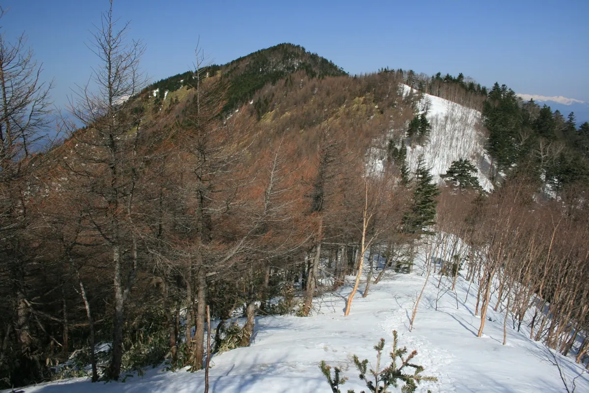
A 2,296-meter peak in the Kiso Mountains featuring stone Buddhas and the highest elevation of any Japanese mountain named Kyo.
What it is
- A 2,296-meter peak located at the northern end of the Kiso Mountains.
- One of the 200 Remarkable Mountains of Japan.
- The highest mountain in Japan with the word Kyo in its name.
- The source for several tributaries of the Tenryu River.
What to see
- Stone Buddhas and stone towers enshrined at the summit.
- Coniferous forests of Shirabiso trees covering the peak.
- A second-class triangulation point located at the highest point.
- A restored climbing route accessible from the Gonbei Pass.
When to go
- May for the annual walking competition held by a local junior high school.
- The Kyo-ga-take Vertical Limit trail race held annually since 2015.
Getting there
- Chusen-ji Temple in Ina City serves as a common trailhead for climbers.
- Access the mountain via the hiking route starting from Gonbei Pass.
11
Mount Jizuki
NAGANO · PLACE 地附山
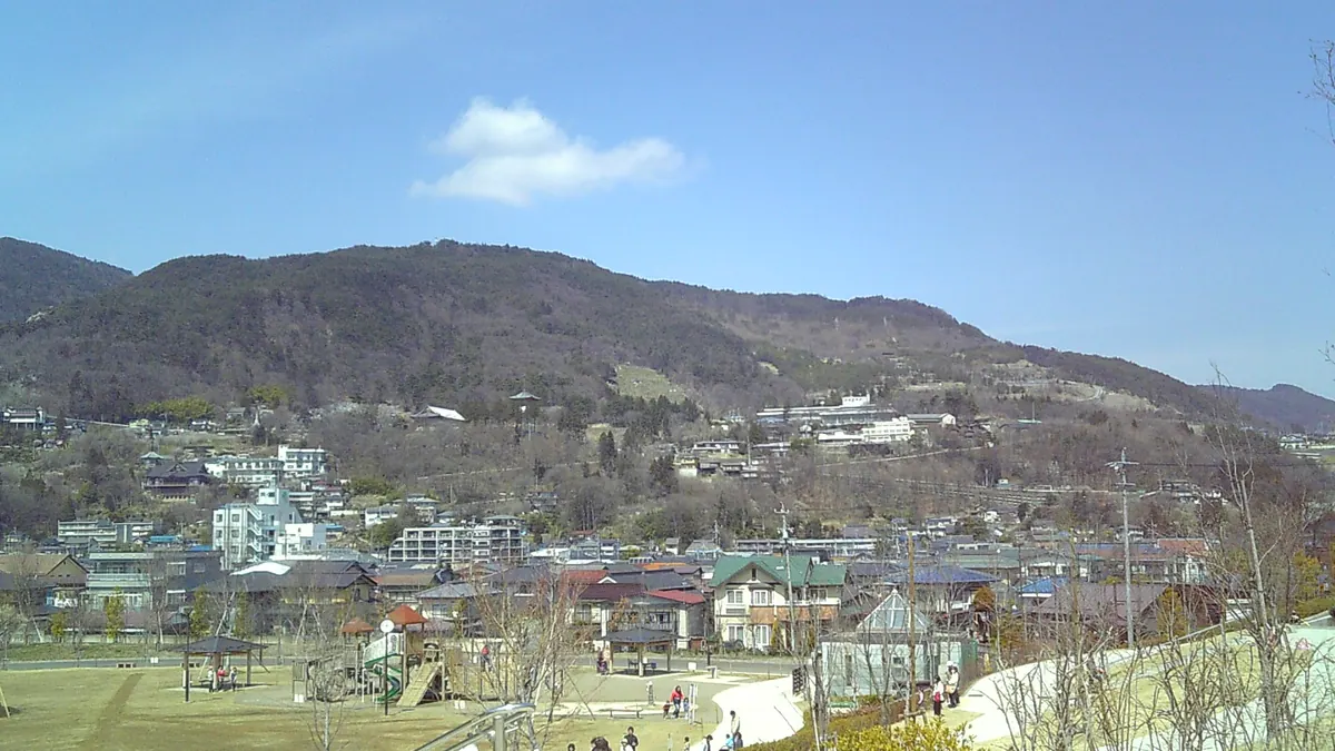
A 733-meter mountain park in Nagano featuring a memorial to a major 1985 landslide and panoramic city views.
What it is
- A 733-meter mountain in northwest Nagano City that was once home to an amusement park.
- The site of a massive 1985 landslide that destroyed sixty buildings and caused twenty-six deaths.
- Bousai Memorial Jizukiyama Park, opened in 2004 to commemorate the disaster and provide public space.
- A location containing the Jizukiyama Kofun burial mound near the mountain summit.
What to see
- A landslide data museum documenting the events and impact of the 1985 disaster.
- An observation deck providing views of the surrounding Nagano area.
- Remnants of the former Togakushi Bird Line toll road and Zenkoji Ropeway area.
- The memorial park grounds built over five million cubic meters of moved earth.
When to go
- Visit during the daytime as the park closes at night.
- Plan your trip outside of the winter season when the park is closed.
12
Mount Shōgigashira
NAGANO · PLACE 将棊頭山
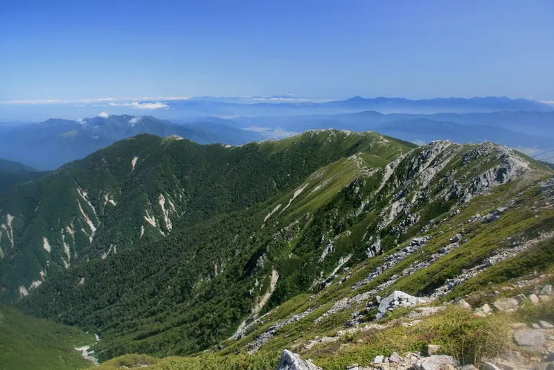
A 2,730-meter peak in the Kiso Mountains known for its shogi-piece shape, alpine flowers, and historic stone mountain hut.
What it is
- A 2,730-meter peak located in the Kiso Mountains of Nagano Prefecture.
- The mountain is named for its physical resemblance to a shogi playing piece.
- A site of historical significance following a major climbing accident in 1913.
- The summit serves as a drainage point for the Tenryu and Kiso Rivers.
What to see
- Colonies of Dicentra peregrina alpine flowers growing on the mountain slopes.
- The Nishikoma Sanso stone hut, a National Registered Tangible Cultural Property built in 1915.
- A memorial monument located south of the summit dedicated to the 1913 disaster.
- Gyojaiwa, a sharp granite rock formation situated near the mountain peak.
- The Tenmeisui spring located in the vicinity of the Nishikoma Sanso hut.
Getting there
- The Katsurakoba trailhead offers a route suitable for a day-trip climb to the summit.
13
Mount Amigasa
NAGANO · PLACE 編笠山
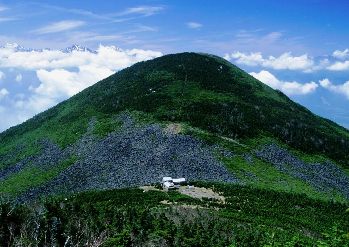
A 2,524-meter peak in the Yatsugatake range offering rocky summit views and historic trails used since the 16th century.
What it is
- A 2,524-meter mountain located at the southernmost end of the Yatsugatake Mountains.
- Designated as part of a quasi-national park in 1964.
- One of the Yamanashi 100 Mountains and a source for the Fuji River.
- Site of a 16th-century signal fire platform on the Noroshiba peak.
What to see
- A stone-covered summit area located above the forest limit.
- The historic Bo-michi road established by Takeda Shingen at the western foot.
- Mountain trails connecting the peak toward Mount Gongen.
- Panoramic views from the high-elevation rocky peak.
When to go
- The access road to the trailhead is closed during the winter season.
Getting there
- Climbing routes are accessible from Kobuchizawa Station and Shinano-sakai Station.
- The Kannondaira parking lot is reachable via a prefectural road.
14
Mount Ogura
NAGANO · PLACE 御座山
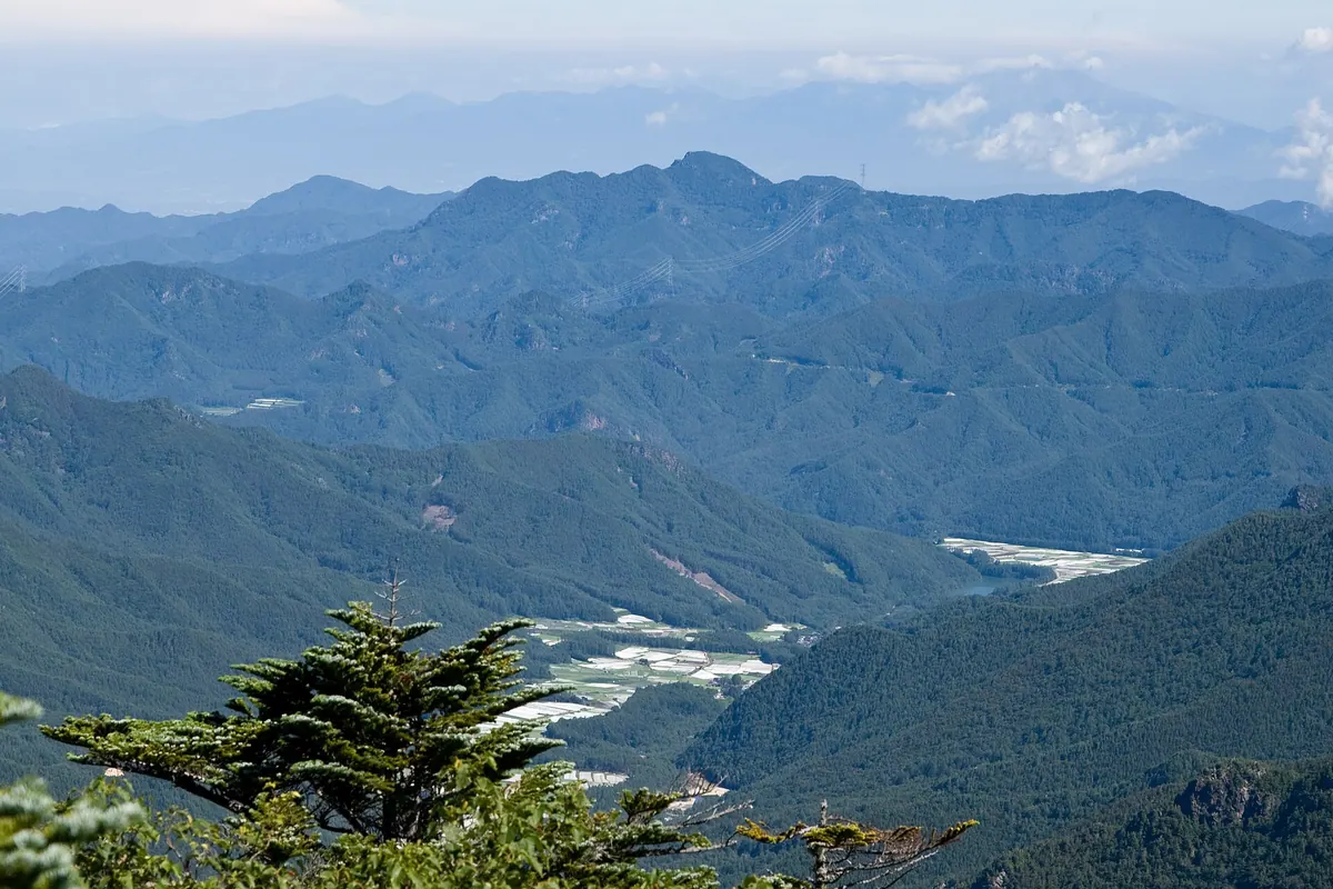
A 2,112-meter peak in Nagano offering 360-degree views and listed as one of Japan's 200 Famous Mountains.
What it is
- A 2,112-meter mountain spanning Kitaaiki and Minamiaiki villages in Nagano Prefecture.
- Part of the Kanto Mountains located on the regional border.
- Recognized as one of Japan's 200 Famous Mountains.
- Initially misidentified as the site of a 1985 plane crash.
What to see
- A long narrow rocky area located at the summit.
- Full 360-degree panoramic views from the top of the mountain.
- Rhododendrons blooming near the observatory area.
- The actual 1985 crash site located 8.7 kilometers away in Gunma.
When to go
- Visit in June to see the rhododendrons in bloom near the observatory.
Getting there
- Access the mountain via Nagano Prefectural Road 2 from Koumi.
- One trailhead is located near the Kuryu bus stop.
- Two additional trailheads are situated within Kitaaiki Village.
15
Mount Nyūkasa
NAGANO · PLACE 入笠山
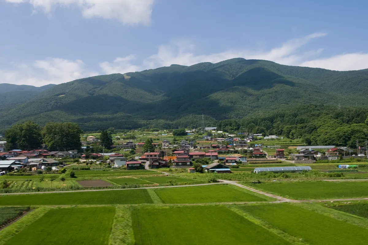
A 1,955-meter peak in Nagano offering diverse marshes, mountain biking trails, and a space debris tracking observatory.
What it is
- A 1,955-meter mountain marking the northern end of the Akaishi Mountains in Nagano.
- A recreational area featuring the Oahara and Nyukasa marshes and a mountain resort.
- Home to a JAXA optical observatory that tracks space debris and asteroids.
- A working landscape where cattle graze on the western slopes from spring to autumn.
What to see
- A second-class triangulation point located at the mountain summit.
- The Fujimi Panorama Resort situated on the northeastern slope.
- An Asian-scale mountain bike downhill course for outdoor enthusiasts.
- Five mountain huts located near the marshes and the ranch area.
- The JAXA optical observatory facility near the summit.
When to go
- Spring to autumn to see cattle grazing on the western side.
- April to November when private car restrictions are in effect.
16
Mount Ōdanairi
NAGANO · PLACE 大棚入山
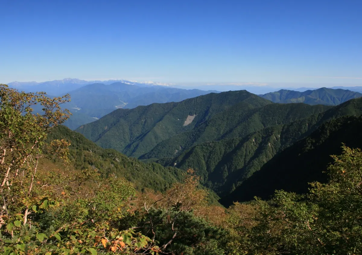
A 2,375-meter peak in the Kiso Mountain Range known for its distinct shape and coniferous forest summit.
What it is
- A mountain peak standing 2,375 meters above sea level in Nagano Prefecture.
- Part of the Kiso Mountain Range bordering Shiojiri City and Kiso Town.
- Also known as Mount Eboshi because of its specific physical shape.
- A natural site where rainwater feeds into the Narai and Nogake Rivers.
What to see
- A second-class triangulation point located at the highest point of the summit.
- Dense coniferous trees covering the top of the mountain.
- Geological layers of Mesozoic hard sandstone and argillite soil.
- Views of the mountain profile from National Route 19.
- Nearby peaks including Mount Mizusawa, Mount Chausu, and Mount Shogidashira.
When to go
- Visible year-round from the surrounding valley and national highway.
- Note that there are no established hiking trails for reaching the summit.
17
Mount Amakazari
NAGANO · PLACE 雨飾山
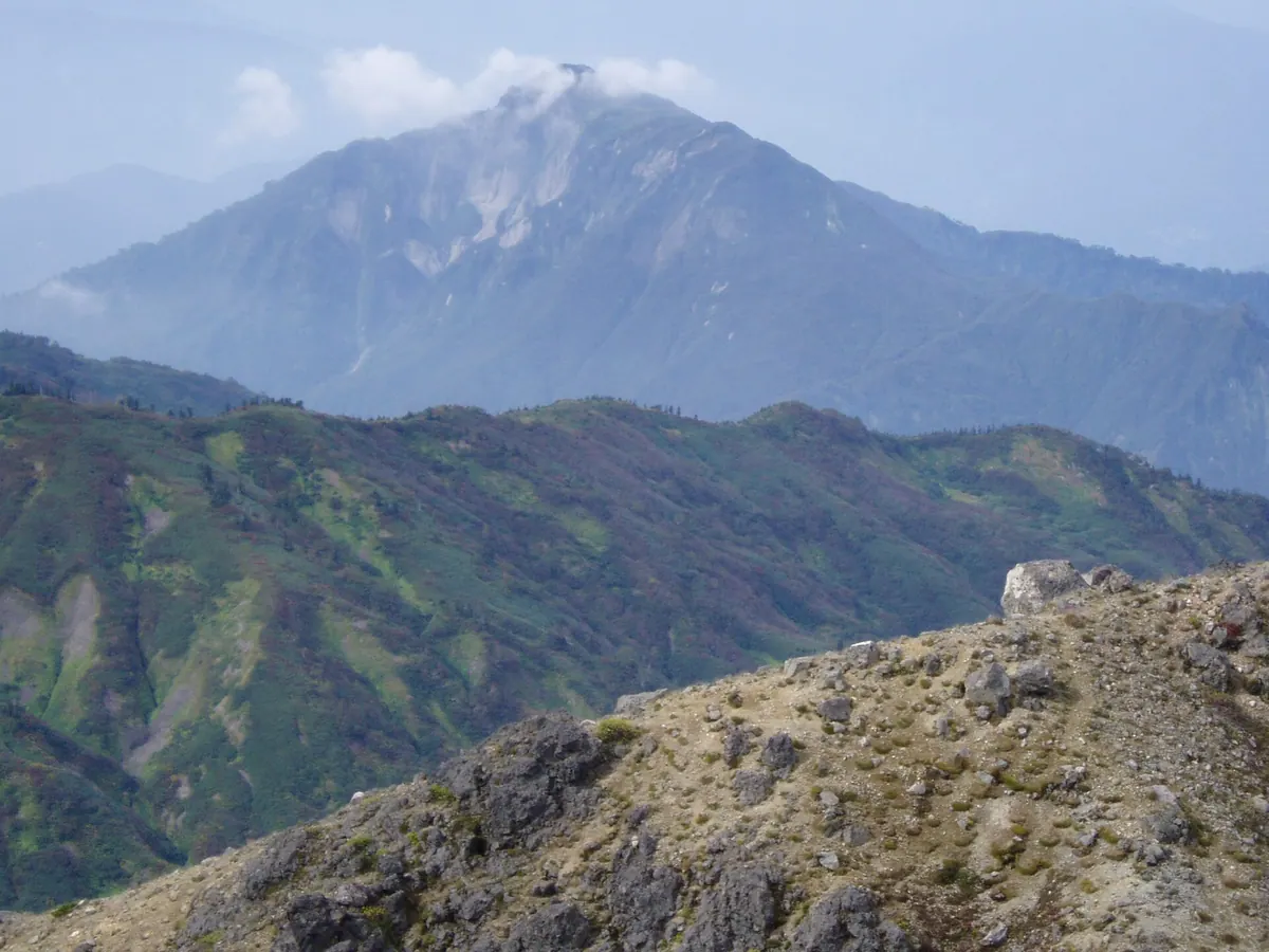
A 1,963-meter peak in Myoko-Togakushi Renzan National Park featured in the 100 Famous Japanese Mountains for its unique twin summits.
What it is
- A 1,963.2-meter mountain located on the border of Nagano and Niigata prefectures.
- Part of the Myoko-Togakushi Renzan National Park and the Kubiki Mountain Range.
- Included in the 100 Famous Japanese Mountains by author Kyuya Fukada.
What to see
- A twin-peak summit popularly known as the Cat's Ears.
- Stone Buddha statues located along the north peak of the mountain.
- A second-class triangulation point situated on the south peak.
- A trail from the south peak that resembles the profile of a woman.
When to go
- Autumn is a popular season, though local authorities may implement entry restrictions.
Getting there
- Public buses and shared taxis provide access to the mountain trailheads.
- Trailheads are located at Amakazari Onsen and Amakazari Kogen Campground.
18
Mount Tsubakuro
NAGANO · PLACE 燕岳
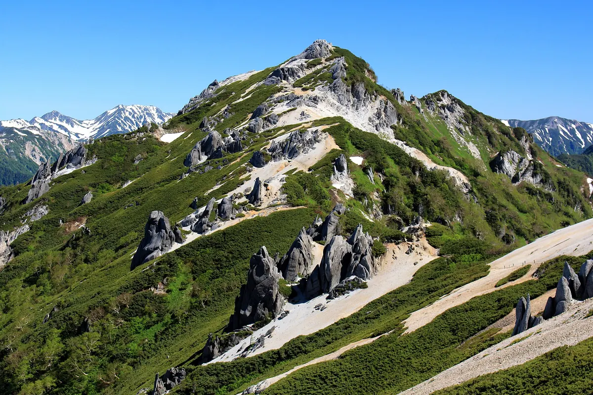
A 2,763-meter granite peak in Chubu Sangaku National Park known for unique rock formations and alpine wildlife.
What it is
- A 2,763-meter mountain located within the Hida Mountains of Nagano Prefecture.
- Part of the Chubu Sangaku National Park featuring granite and weathered rock formations.
- The starting point of the popular Omote Ginza hiking route.
- Named for spring snow patterns that resemble the shape of swallows.
What to see
- Weathered granite rock formations located across the mountain body.
- Wild Dicentra peregrina flowers and rock ptarmigans inhabiting the slopes.
- The Enzanso mountain hut situated directly on the ridge line.
- Kita-Tsubakuro Peak located 700 meters north of the main summit.
- The summit area which is designated as a special protection zone.
Getting there
- The main trailhead begins at Nakabusa Hot Springs.
- Access to the ridge involves a major steep climb via Kassen Ridge.
19
Mount Kitayoko
NAGANO · PLACE 北横岳
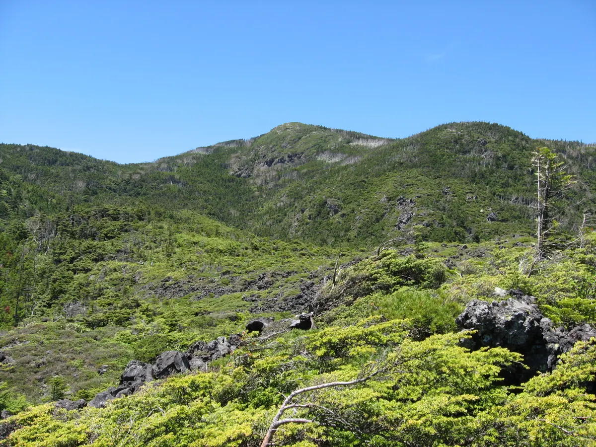
An active volcanic peak in the northern Yatsugatake Mountains offering high-altitude hiking trails and unique natural phenomena like striped dead trees.
What it is
- A small volcano formed by lava flows in the northern Yatsugatake Mountains.
- An active volcano designated by the Japan Meteorological Agency in 2003.
- A mountain featuring two distinct peaks reaching up to 2,480 meters in elevation.
- Part of the Pilatus Tateshina Snow Resort area.
What to see
- A natural phenomenon of striped dead trees visible on the mountain slopes.
- Dwarf stone pines growing throughout the Tsuboniwa area.
- A triangulation point located on the 2,471.6 meter southern peak.
- Hiking trails connecting the summit to the Kikko and Futago ponds.
- Two mountain huts named Shimagare Sanso and Kitayokodake Hutte.
- Panoramic views from the northern peak at 2,480 meters.
Getting there
- The Kita-Yatsugatake Ropeway provides direct access to the Tsuboniwa area.
20
Mount Okusangai
NAGANO · PLACE 奥三界岳
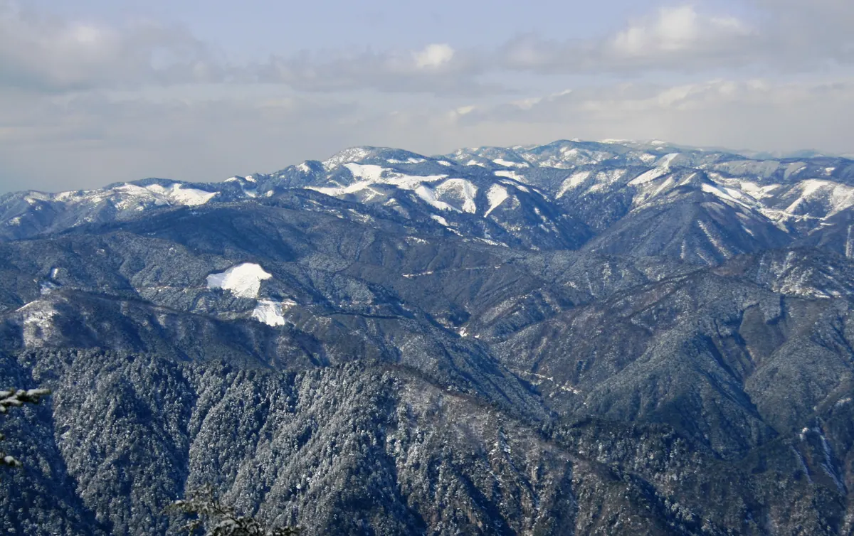
A 1,811-meter peak in the Atera Mountains featuring a virgin forest, alpine plants, and a three-story summit observation tower.
What it is
- A 1,811-meter mountain listed among the 300 Famous Japanese Mountains.
- Part of the Urakiso Prefectural Natural Park in the Atera Mountains.
- Formerly a private forest belonging to the Owari Domain.
- A natural source for rivers flowing into the Kiso River system.
What to see
- A three-story observation tower located at the mountain summit.
- Virgin forests of rhododendrons and spruce trees near the peak.
- Kagami Pond featuring communities of sphagnum moss and skunk cabbage.
- Ryujin Shrine which hosts an annual local festival.
When to go
- The fourth Sunday of April for the festival at Ryujin Shrine.
Getting there
- The maintained climbing route begins at Yumori Park.
- The summit is located 12.1 kilometers north of Sakashita Station.