

20 Mountains in Shizuoka worth your time
Japan Gems
53 Mountains in Shizuoka, with what to see and how to get there.
Shizuoka has 53 mountains on Japan Gems. Below are the 20 we can tell you the most about — each one written up in English from Japanese sources, with what to see and how to get there. See all mountains in Shizuoka.
01
Awa-ga-take
SHIZUOKA · PLACE 粟ヶ岳
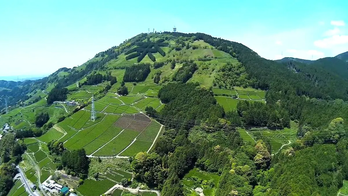
A 532-meter mountain in Shizuoka featuring a giant tea character made of cypress trees and panoramic views of Mount Fuji.
What it is
- A 532-meter high mountain spanning Kakegawa City and Shimada City in Shizuoka.
- The source of the Kikugawa and Sakasagawa rivers with tea plantations at the base.
- A site featuring Awawa Shrine and several wireless radio and television stations at the summit.
- The location of the Shin-Tomei Expressway tunnel which runs directly beneath the mountain.
What to see
- Cypress trees planted on the slope in the shape of the kanji character for tea.
- Panoramic views of Mount Fuji and Suruga Bay from the mountain summit.
- A hiking course that leads visitors from the base to the top of the mountain.
- Cherry blossoms that bloom across the area during the spring season.
When to go
- Spring is the best time to visit for viewing the cherry blossoms.
- Clear days offer the best visibility for seeing Mount Fuji and the bay.
Getting there
- Buses run from Kakegawa Station to the Higashiyama bus stop at the base.
02
Mount Kurosawa
SHIZUOKA · PLACE 黒沢山
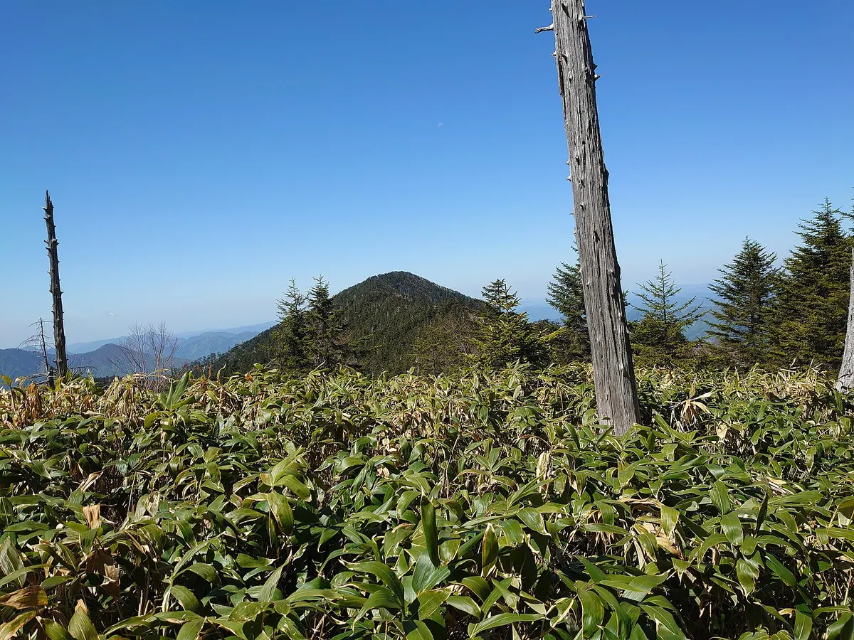
A 2123-meter peak in the southern South Alps known for its dense bamboo grass thickets and remote hiking trails.
What it is
- A mountain peak standing at an elevation of 2123 meters.
- Located within the southern range of the Japanese South Alps.
- Characterized by its extensive and dense bamboo grass thickets.
- Surrounded by nearby peaks including Mount Kurobushidake and Mount Marubondake.
What to see
- Views of nearby Mount Fudodake and Mount Tekari from the summit area.
- Dense bamboo grass covering the slopes of the mountain.
- The Narashiro Forest Road which consists of seven kilometers of unpaved dirt.
- Connecting ridges leading toward Mount Nakanoone and Mount Yahazu.
Getting there
- Start the standard route from the Narashiro Forest Road gate.
- Hike six and a half kilometers from the gate to reach the summit.
- Access is restricted at Kurosawa Bridge as it is officially closed to traffic.
- Follow the northern route connecting from Mount Nakanoone via Mount Kuro.
03
Mount Ōmuro
SHIZUOKA · PLACE 大室山
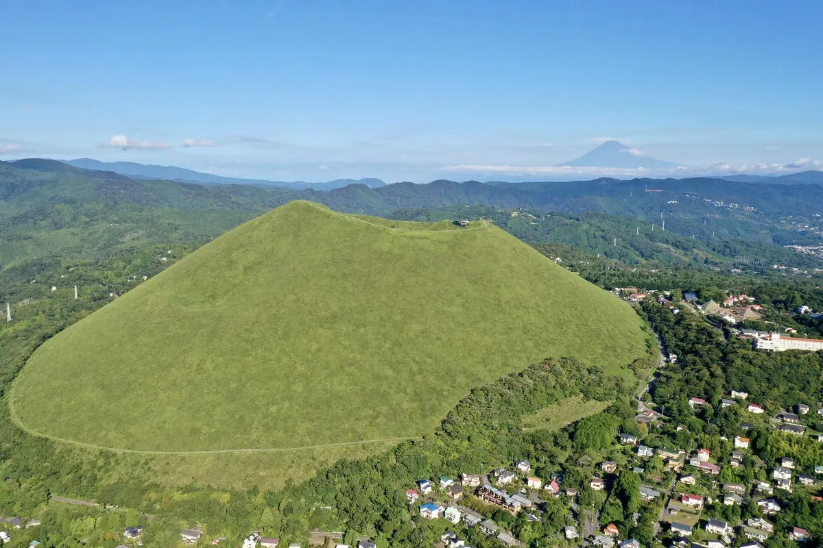
A 580-meter volcanic scoria cone offering panoramic views and a unique archery range inside its dormant crater.
What it is
- A 580-meter high scoria cone volcano formed approximately 4,000 years ago.
- A designated national natural monument located within the Fuji-Hakone-Izu National Park.
- A sacred site featuring a summit shrine dedicated to the deity Iwanagahime-no-mikoto.
- A protected landscape where climbing on foot is currently prohibited to visitors.
What to see
- A 250-meter wide archery range located directly inside the volcanic crater.
- Five historic Buddhist statues dating back to the Edo period on the crater rim.
- Panoramic views of the surrounding Shizuoka landscape from the summit walking path.
- A summit shrine dedicated to the mountain's sole enshrined deity.
When to go
- The second Sunday of February for the traditional mountain burning event.
- Early spring to witness the 700-year-old tradition of burning the mountain slopes.
04
Mount Tekari
SHIZUOKA · PLACE 光岳
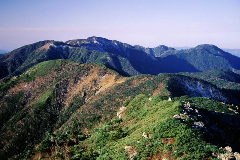
The southernmost peak in Japan over 2,500 meters, famous for its rare alpine flora and limestone rock formations.
What it is
- A 2,592-meter peak located in the southern Akaishi Mountains within Minami Alps National Park.
- The southernmost mountain in Japan that exceeds an elevation of 2,500 meters.
- One of the 100 Famous Japanese Mountains and the source of the Oi and Tenryu rivers.
- The world's southernmost natural habitat for the Siberian dwarf pine and rock ptarmigan.
What to see
- A limestone crag known as Tekari-iwa located southwest of the summit.
- The Tekari Hut mountain lodge situated just east of the peak.
- A forested summit area that offers limited views of the surrounding landscape.
- Rare alpine wildlife including the rock ptarmigan in its southernmost habitat.
Getting there
- Access the mountain via the Iroudo trailhead located in Nagano Prefecture.
- Reach the climbing routes from the Sumatakyo area in Shizuoka Prefecture.
05
Mount Hōei
SHIZUOKA · PLACE 宝永山
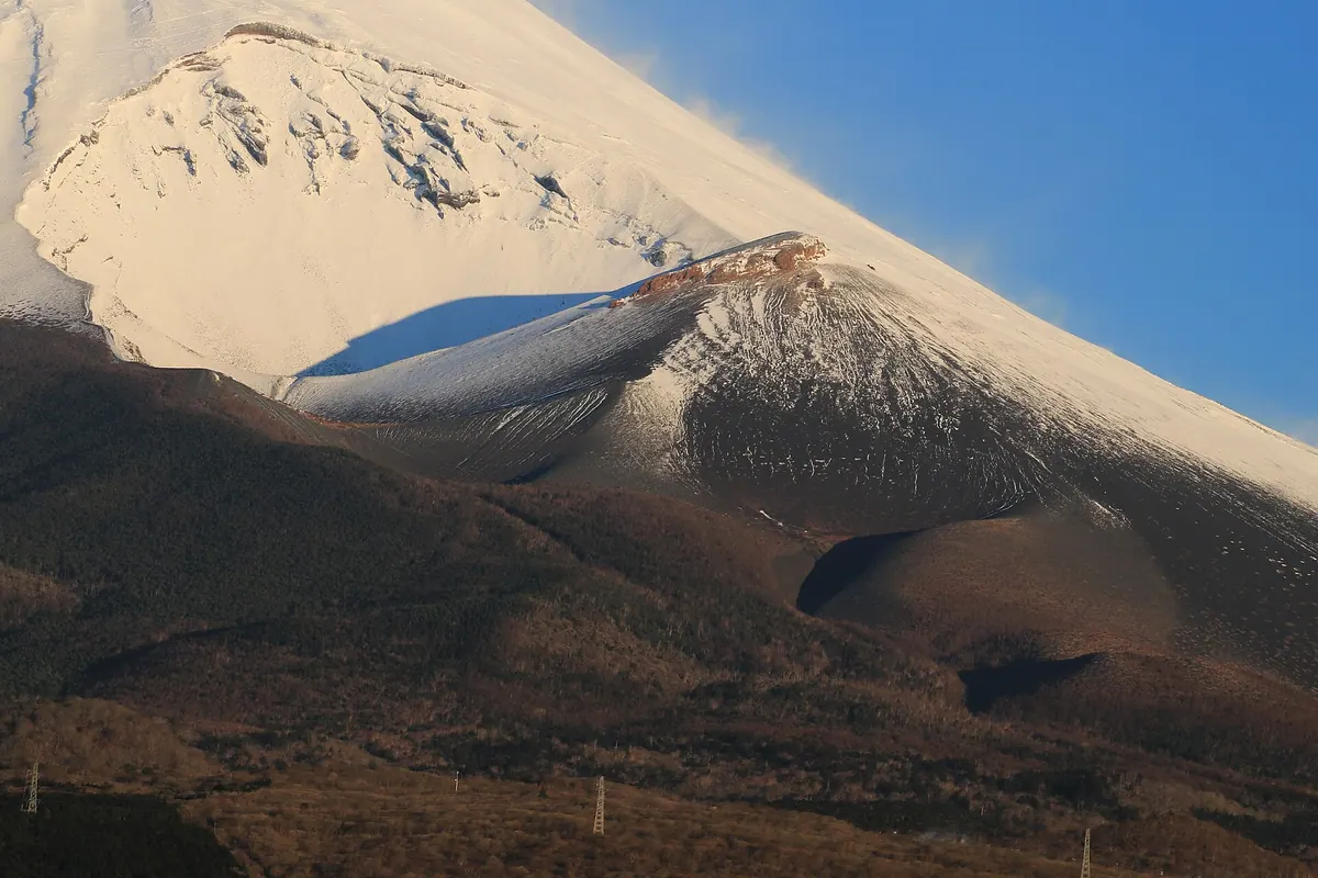
The largest flank volcano of Mount Fuji, offering a unique hiking experience through massive craters formed during the 1707 eruption.
What it is
- The largest and most recent flank volcano of Mount Fuji.
- Formed during the Hoei eruption in 1707 following a major earthquake.
- The peak stands at an elevation of 2,693 meters above sea level.
- Features three connected craters located on the southeastern slope.
What to see
- The first crater, which is the largest of the three volcanic openings.
- A hiking route famously climbed by Prince Naruhito in August 2008.
- Expansive views from the summit reached via the Hoei trail.
When to go
- The Hoei trail is open for visitors from early May to mid-November.
Getting there
- A 35-minute hike from Fujinomiya Fifth Station leads to the second crater.
- The climb from the first crater to the summit takes 50 minutes.
- A longer three-hour hike is available starting from Mizugatsuka Park.
06
Mount Ryu
SHIZUOKA · PLACE 竜ヶ岳 (山梨県)
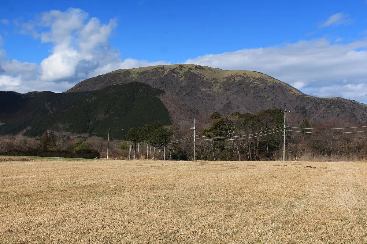
A 1,485-meter peak in Fuji-Hakone-Izu National Park offering panoramic views and the rare Diamond Fuji winter phenomenon.
What it is
- A 1,485-meter mountain located at the northern end of the Tenshi Mountains.
- A designated member of the 100 Famous Mountains of Yamanashi.
- Part of the protected Fuji-Hakone-Izu National Park area.
- A summit bordering the towns of Minobu, Fujikawaguchiko, and Fujinomiya.
What to see
- Expansive bamboo grass fields covering the mountain summit.
- A stone Buddha statue enshrined on the eastern side of the mountain.
- A flat summit area equipped with tables and benches for hikers.
- The Tokai Nature Trail passing through the southern and eastern slopes.
When to go
- Winter months to witness the Diamond Fuji alignment from the summit.
Getting there
- Accessible via the hiking trail starting at the Motosuko Campground.
- Located three kilometers southwest of the Motosuko bus stop.
07
Mount Daimugen
SHIZUOKA · PLACE 大無間山
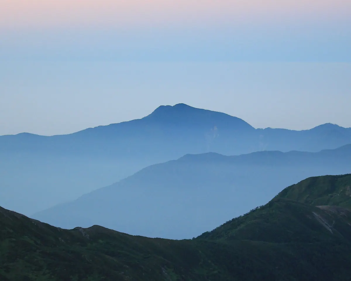
A 2,330-meter peak in the Akaishi Mountains designated as one of Japan's 200 Famous Mountains for experienced hikers.
What it is
- A 2,330-meter mountain located within the Oku-Oi Prefectural Natural Park.
- One of Japan's 200 Famous Mountains situated in the Akaishi range.
- The primary source of the Myojin Valley and the Sekinosawa River.
- A natural site designated for protection since 1968.
What to see
- A first-class triangulation point located at the mountain summit.
- Dense forests of Veitch's silver fir and hemlock surrounding the peak.
- The unmanned Komugen Hut shelter which accommodates up to ten people.
- Views of the nearby Oi River and Lake Ikawa from the slopes.
- Neighboring peaks including Mount Komugen and Mount Nakamugen.
When to go
- Allow over seven hours for the standard climbing routes to the summit.
Getting there
- One climbing route begins from Tashiro in Aoi Ward, Shizuoka City.
08
Mount Kenashi
SHIZUOKA · PLACE 毛無山
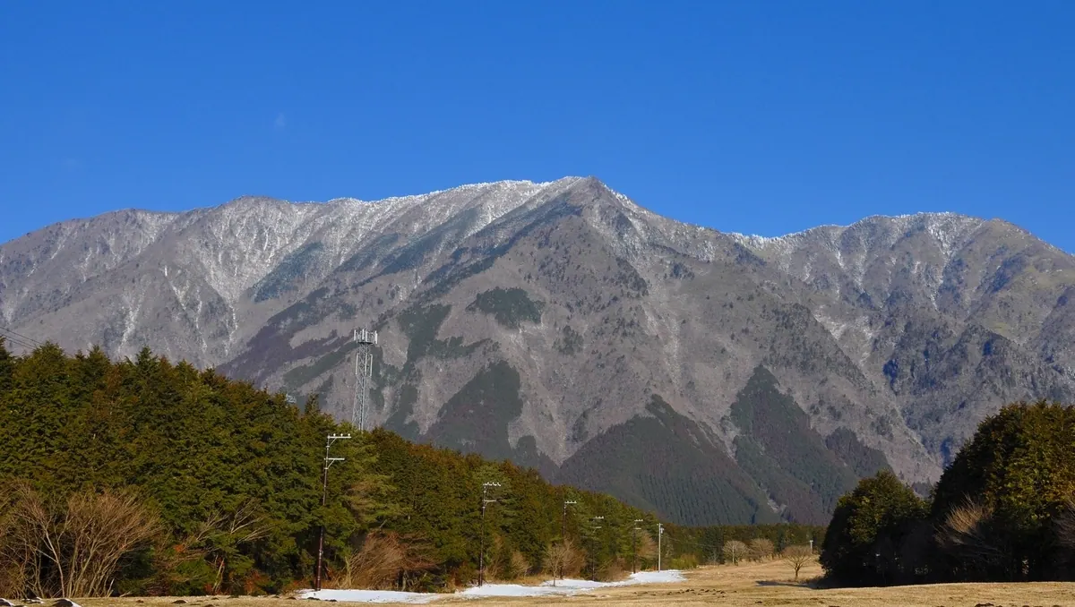
The highest peak of the Tenshi Mountains offering panoramic views of Mount Fuji and historical gold mine excavation sites.
What it is
- The highest peak of the Tenshi Mountains standing 1,964 meters above sea level
- One of the 200 Famous Japanese Mountains spanning Yamanashi and Shizuoka prefectures
- A natural source for rivers that flow into the Suruga Bay
- A mountain featuring historical gold mine excavation sites and a first-class triangulation point
What to see
- Views of Mount Fuji from the summit area
- The Asagiri Plateau located at the foot of the mountain
- Historical gold mine excavation sites along the climbing route
- A first-class triangulation point situated southwest of the summit
When to go
- Snow mountain climbing is possible from January to March
Getting there
- Buses run to the trailhead from Kawaguchiko and Shinfuji stations
- The ascent from the parking lot takes over three hours
09
Mount Amagi
SHIZUOKA · PLACE 天城山
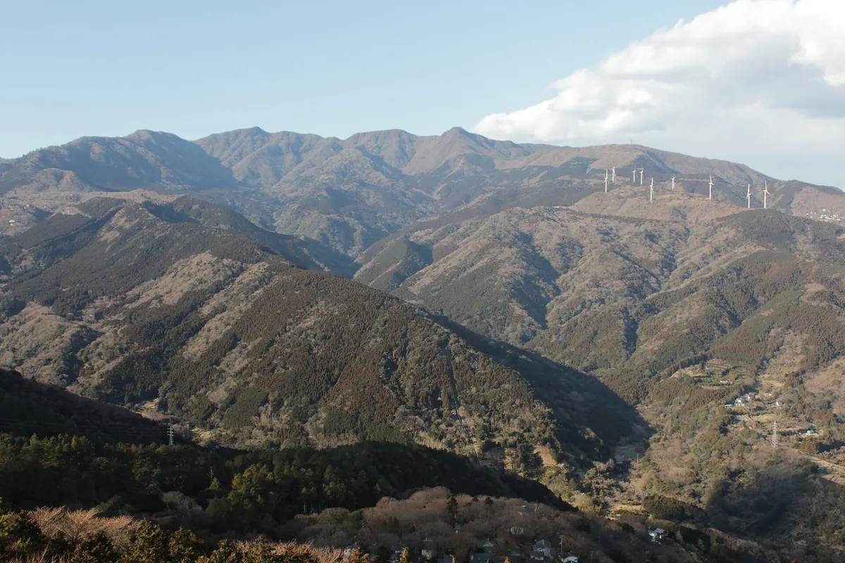
A volcanic mountain range in Izu National Park offering historic tunnels, ancient cedars, and seasonal floral displays for hikers.
What it is
- A quaternary stratovolcano located in the central part of the Izu Peninsula.
- Part of the Fuji-Hakone-Izu National Park and one of Japan's 100 Famous Mountains.
- A mountain range consisting of several peaks including Manzaburo, Manjiro, and Togasa.
- Former Tokugawa Shogunate territory that was hiked twice by Emperor Showa.
What to see
- Mount Manzaburo stands as the highest peak in the range at 1,406 meters.
- The Amagi Tunnel is a historic stone passage completed in 1907.
- The Taro Cedar is a protected natural monument estimated to be over 450 years old.
- Local agricultural fields producing wasabi and shiitake mushrooms.
When to go
- Visit during May and June to see blooming Amagi Rhododendrons and Azaleas.
- Be prepared for wet weather as this is the third rainiest location in Japan.
10
Mount Shizuhata
SHIZUOKA · PLACE 賤機山
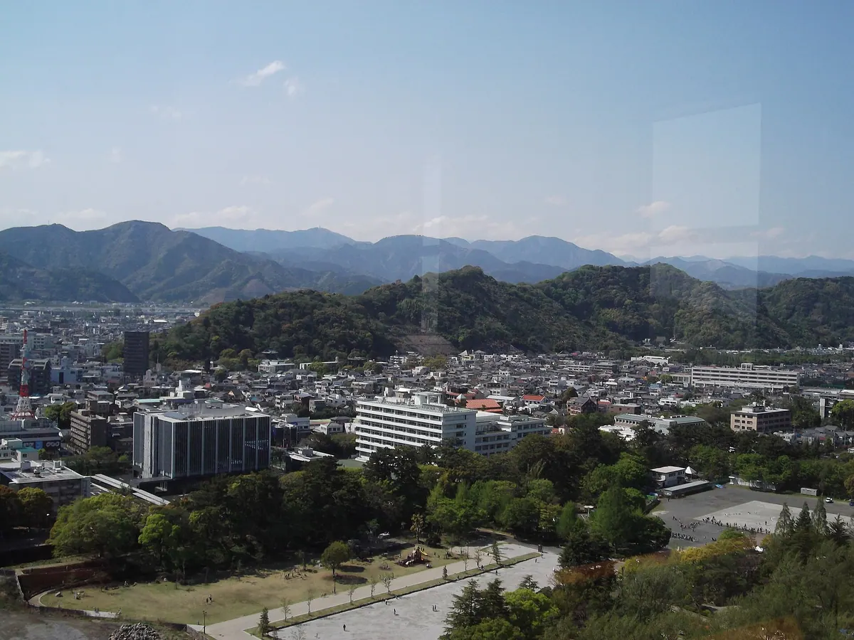
A historic 171-meter mountain in Shizuoka City featuring ancient burial mounds, a major shrine complex, and wartime memorial sites.
What it is
- A 171-meter mountain that serves as the namesake for Shizuoka City.
- Site of the former Shizuhata Castle which stood during the Sengoku period.
- Location of the Shizuhata Burial Mound, a nationally designated historic site.
- Home to the Shizuoka Sengen Shrine located at the southern foot.
What to see
- The Shizuoka Sengen Shrine complex at the base of the southern slope.
- A memorial monument dedicated to air raid victims located at the summit.
- Ancient burial mounds preserved as a national historic site.
- Remains of the Sengoku period castle fortifications near the mountain top.
When to go
- The annual joint memorial service for Japan and America held at the summit.
Getting there
- Buses run from Shizuoka Station to the shrine entrance at the mountain foot.
11
Mount Gatchi
SHIZUOKA · PLACE 合地山
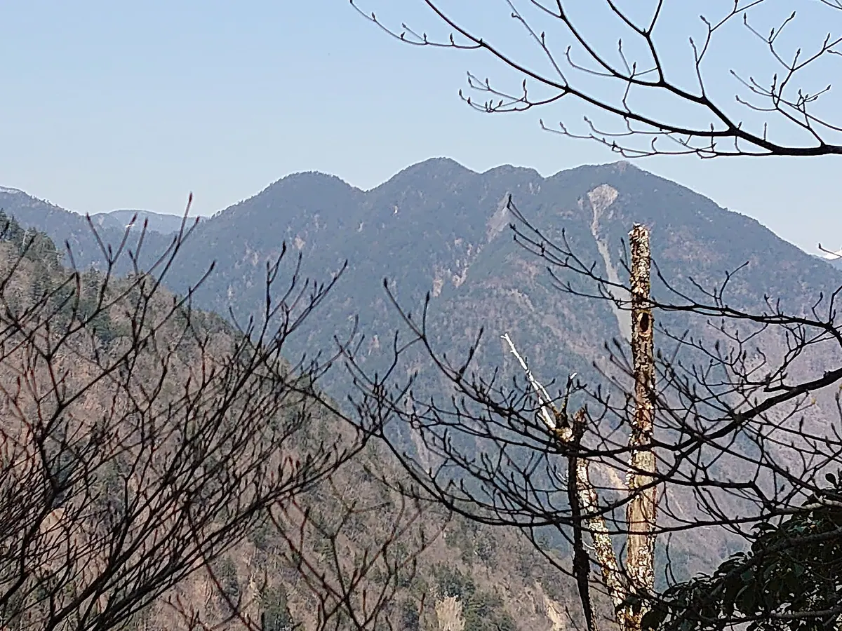
A remote 2149-meter peak in the southern Japanese Alps featuring four forested summits and a challenging thirty-kilometer round-trip hike.
What it is
- A mountain in the deep southern Japanese Alps consisting of four distinct peaks.
- The highest point of the mountain reaches an elevation of 2149 meters.
- A triangulation point is located at the summit of the 2104 meter peak.
What to see
- Dense forest covering all four peaks with no views from the summits.
- A business card holder located at the 2104 meter triangulation point.
- Challenging trail conditions featuring bamboo grass thickets and fallen trees.
- Views of nearby mountains including Nakanone, Morozawa, and Senzu.
When to go
- Visit in June to see Schizocodon soldanelloides flowers blooming around the summit.
Getting there
- The hiking trail starts from the Shirakura Forest Road.
- Expect a round trip exceeding 30 kilometers from the parking area.
12
Mount Washizu
SHIZUOKA · PLACE 鷲頭山
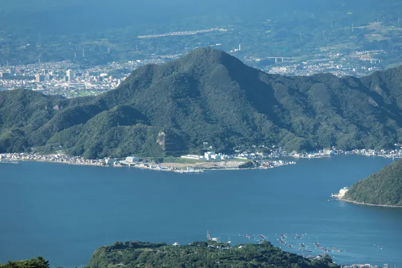
A 392-meter peak in the Numazu Alps featuring historical sites and panoramic views of Mount Fuji and Suruga Bay.
What it is
- A 392-meter mountain located within the Shizuura Mountains in Numazu City.
- Part of a mountain range commonly referred to as the Numazu Alps.
- A site containing a small shrine and a monument at the summit.
- A location south of Mount Ohira used for rock climbing training.
What to see
- Panoramic views of Mount Fuji and Suruga Bay from the summit.
- A mountainside cave linked to the historical figure Taira no Shigehira.
- A monument marking a ritual suicide site at the top of the mountain.
- A small shrine situated at the highest point of the peak.
- Rock faces used by climbers for training exercises.
Getting there
- A hiking trail connects the mountain to the Kanukidai Entrance bus stop.
- The hiking course covers a distance of approximately 6.3 kilometers.
13
Mount Ikeguchi
SHIZUOKA · PLACE 池口岳
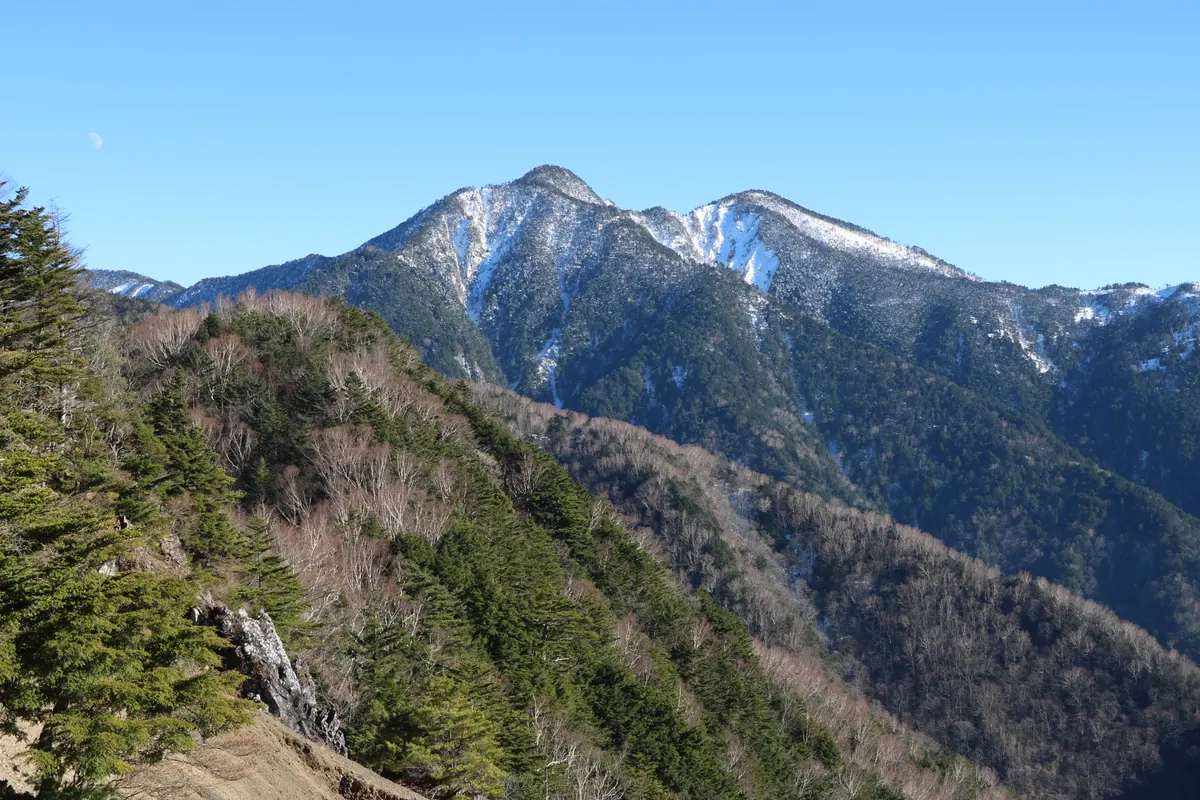
A 2,392-meter peak in the southern Akaishi Mountains listed among the 200 Famous Japanese Mountains for dedicated hikers.
What it is
- A mountain straddling Nagano and Shizuoka prefectures in the southern Akaishi range.
- One of the 200 Famous Japanese Mountains reaching an elevation of 2,392 meters.
- A dual-peaked mountain consisting of a north peak and a south peak.
- The north peak contains a triangulation point from the Imperial Estate Bureau.
What to see
- A third-class triangulation point located on the south peak.
- A longitudinal trail that connects this summit to Mount Tekari.
- Dense forest surroundings as the summit offers almost no scenic views.
Getting there
- The common climbing route starts from the Ikeguchi trailhead in Iida City.
- The ascent from the trailhead to the summit takes five and a half hours.
- The descent back to the trailhead takes approximately four hours.
14
Mount Sukumo
SHIZUOKA · PLACE 巣雲山
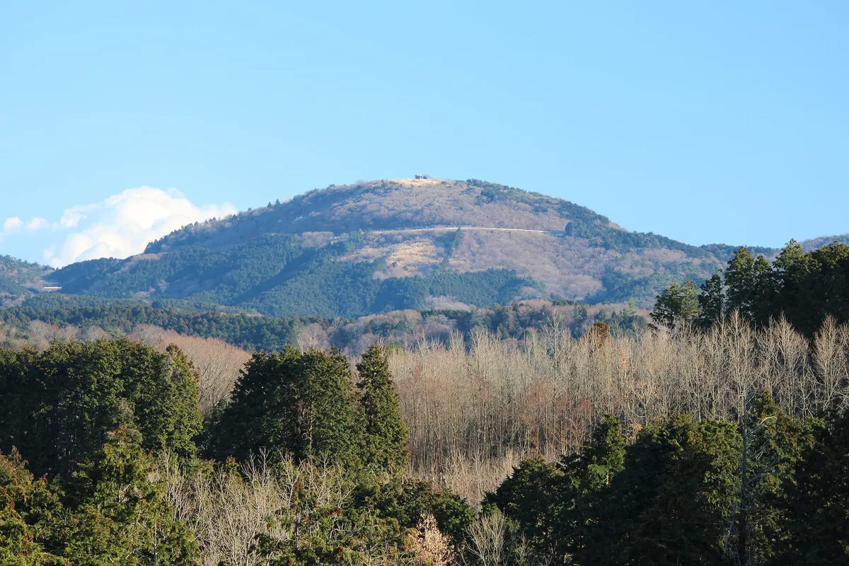
A 581-meter scoria cone volcano on the Izu Peninsula offering an observation deck and quick hiking access from the Izu Skyline.
What it is
- A 581-meter high volcano located on the Izu Peninsula in Shizuoka Prefecture.
- A designated geosite of the Izu Peninsula Geopark formed 132,000 years ago.
- A scoria cone that is part of the Izu Eastern Volcano Group.
- The former site of an aviation lighthouse used before World War II.
What to see
- An observation deck at the summit providing views of the surrounding landscape.
- A grassy area at the peak suitable for resting after the climb.
- Geological features characteristic of a prehistoric scoria cone volcano.
Getting there
- A five-minute drive from the Kameishi Pass Interchange on the Izu Skyline.
- A ten-minute walk from the parking lot via the shortest hiking trail.
- Hiking trails connect the summit to Usami Station and Chojahara.
15
Mount Katsuragi
SHIZUOKA · PLACE 葛城山
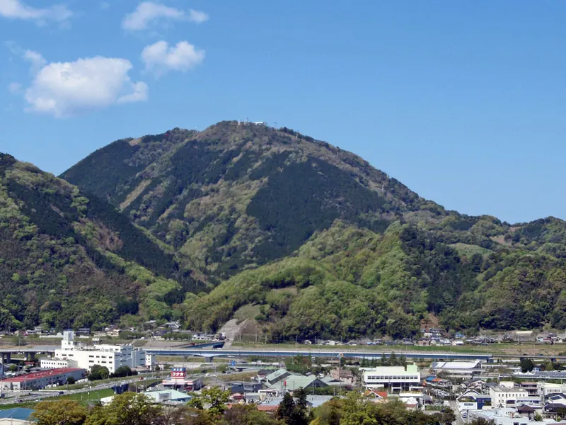
A 452-meter volcanic peak in Shizuoka offering panoramic views of Mount Fuji and historic religious statues at the summit.
What it is
- A 452-meter mountain in Izunokuni formed from an ancient volcanic magma pipe.
- The summit area is developed as a scenic destination called Izu Panorama Park.
- Part of the Izu Sanzan mountain group and the southern Shizura Mountains.
- A site hosting the Katsuragi Shrine and the Izunagaoka broadcasting relay station.
What to see
- Panoramic views of Mount Fuji and Mount Amagi from the peak.
- One hundred Jizo statues located at the mountain summit.
- The Katsuragi Shrine situated at the top of the mountain.
- Geological formations of the Shirahama group created by submarine volcanoes.
Getting there
- A ropeway runs from the northern foot of the mountain to the summit.
- A common climbing route for hikers starts from the Osaka district.
16
Mount Ogōchi
SHIZUOKA · PLACE 小河内岳
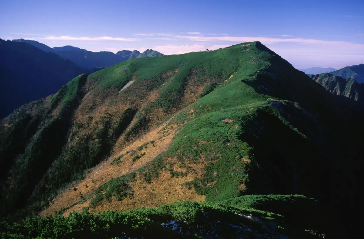
A 2,802-meter peak in the Minami Alps National Park offering panoramic views of Mount Fuji and the Northern Alps.
What it is
- A 2,802-meter mountain peak located on the border of Nagano and Shizuoka prefectures.
- Part of the Akaishi Mountains within the Minami Alps National Park.
- Named after the Ogōchi-zawa stream with rivers flowing toward the Pacific Ocean.
- Situated along a ridge between Mount Shiomi and Mount Arakawa.
What to see
- Panoramic views of Mount Fuji and the Northern Alps from the summit.
- Wild rock ptarmigans inhabiting the gravel areas near the mountain top.
- The Ogōchi-dake Evacuation Hut located just below the peak.
- Alpine landscapes characteristic of the high-altitude Minami Alps region.
Getting there
- Access the mountain trails via the Torikura Forest Road.
- The nearest rail access is Ina-Ōshima Station on the Iida Line.
17
Mount Ashigara
SHIZUOKA · PLACE 金時山
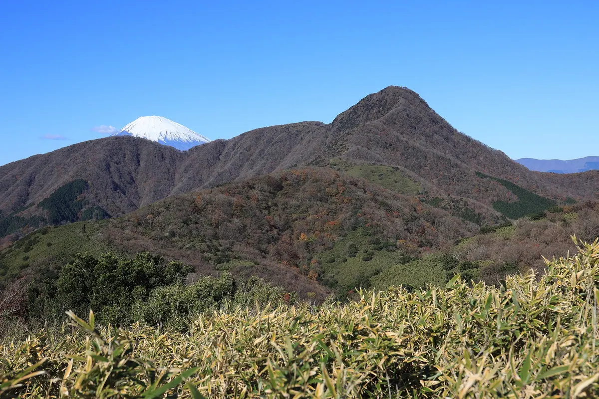
A 1,212-meter peak in Fuji-Hakone-Izu National Park famous for its Kintaro legend and panoramic views of Mount Fuji.
What it is
- A 1,212-meter mountain located within the Fuji-Hakone-Izu National Park.
- The highest point on the Hakone caldera rim, formed 400,000 years ago.
- One of the 300 Famous Japanese Mountains associated with the Kintaro legend.
- A summit featuring Inohana Shrine and two rest houses for visitors.
What to see
- Panoramic views of Mount Fuji and Lake Ashi from the summit.
- Inohana Shrine located at the highest point of the mountain.
- Kintoki-chaya and Kintaro-chaya rest houses serving hikers at the peak.
- A public bio-toilet facility installed at the summit in 2010.
Getting there
- Buses from Hakone-Yumoto and Shinjuku provide access to the mountain trailheads.
- Hiking routes lead to the peak from Ashigara Pass and Sengokuhara.
18
Mount Echizen-dake
SHIZUOKA · PLACE 越前岳
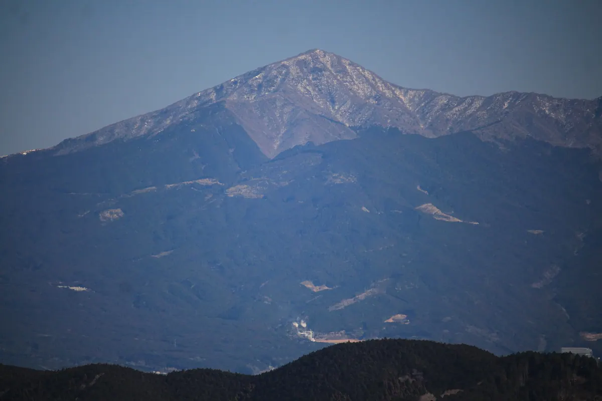
The highest peak of the Ashitaka Mountains offering historic views of Mount Fuji and accessible hiking trails for outdoor enthusiasts.
What it is
- The highest peak in the Ashitaka Mountains standing at 1504 meters.
- One of the 100 Mountains of Shizuoka located in Susono City.
- A summit featuring a second-class triangulation point for surveyors.
What to see
- The Fujimidai viewpoint used for the 1938 fifty-sen banknote photograph.
- Panoramic views of the surrounding Shizuoka landscape from the summit.
- Two distinct hiking trails leading through the mountain terrain.
Getting there
- Buses run from Gotemba Station to the Jurigi bus stop.
- The climb from Jurigi Plateau takes two hours and thirty-five minutes.
- The ascent from Ashitaka-登山口 takes two hours and forty-five minutes.
- Parking is available for visitors at the Jurigi Plateau bus stop.
19
Mount Eboshi
SHIZUOKA · PLACE 烏帽子岳
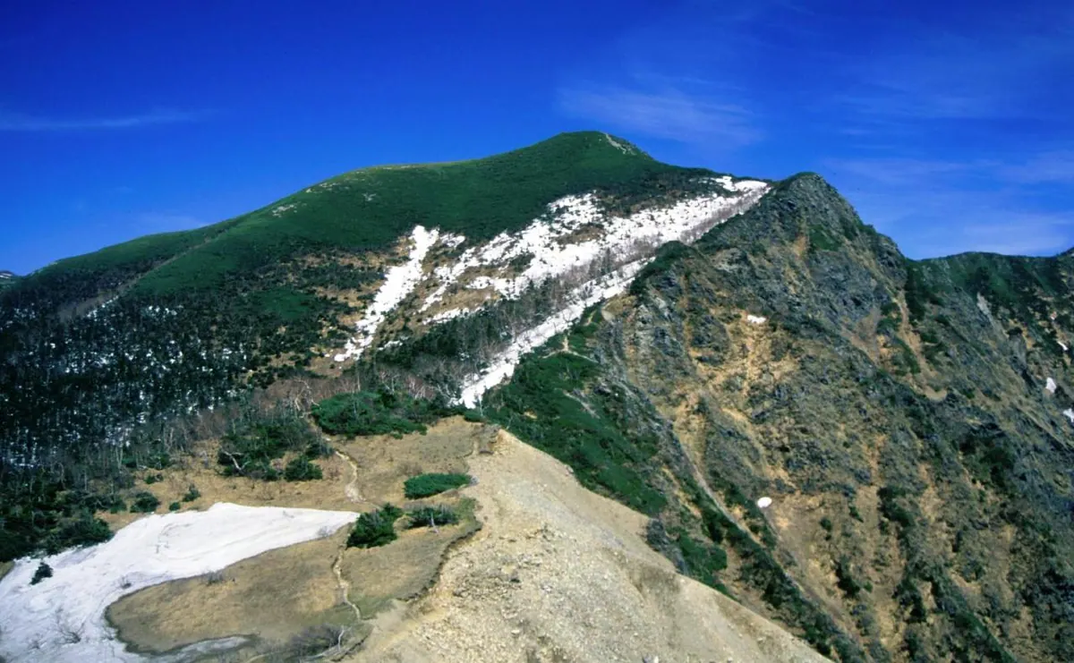
A 2,726-meter peak in the Southern Alps offering sightings of rare rock ptarmigan and diverse alpine flora.
What it is
- A 2,726-meter mountain located on the border of Nagano and Shizuoka prefectures.
- Part of the Akaishi Mountains within the Minami Alps National Park.
- A natural habitat for protected species like the rock ptarmigan and Japanese serow.
What to see
- Alpine plants growing along the ridge between the peak and Sanpuku Pass.
- Wild rock ptarmigan that inhabit the rocky summit area.
- Japanese serows living on the forested mountain slopes.
- Views of the surrounding Southern Alps from the high-altitude peak.
Getting there
- Access the mountain via the Torikura Forest Road.
- Ina-Oshima Station is the closest railway station to the area.
- The peak is situated a hike east from the Sanpuku-toge mountain lodge.
20
Tenshi Mountains
SHIZUOKA · PLACE 天子山地
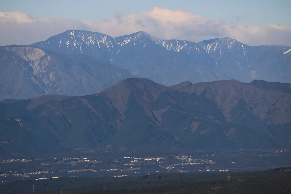
A mountain range between Mount Fuji and the Fuji River featuring the highest peak of Mount Kenashi and historic gold mines.
What it is
- A mountain range spanning southern Yamanashi and northern Shizuoka prefectures.
- The highest peak is Mount Kenashi reaching an elevation of 1,964 meters.
- The northeastern area is part of the Fuji-Hakone-Izu National Park.
- The range contains the Nakayama Gold Mine, a designated national historic site.
What to see
- Views of Lake Motosu and the Asagiri Plateau at the mountain base.
- The Tokai Nature Trail which passes through the mountain range.
- The source of the Urui and Shiba rivers.
- Sedimentary rock and granite formations throughout the peaks.
Getting there
- The JR Minobu Line runs along the western foothills of the range.
- National Route 139 provides access through the eastern foothills.