Mount Gatchi
合地山
A remote 2149-meter peak in the southern Japanese Alps featuring four forested summits and a challenging thirty-kilometer round-trip hike.
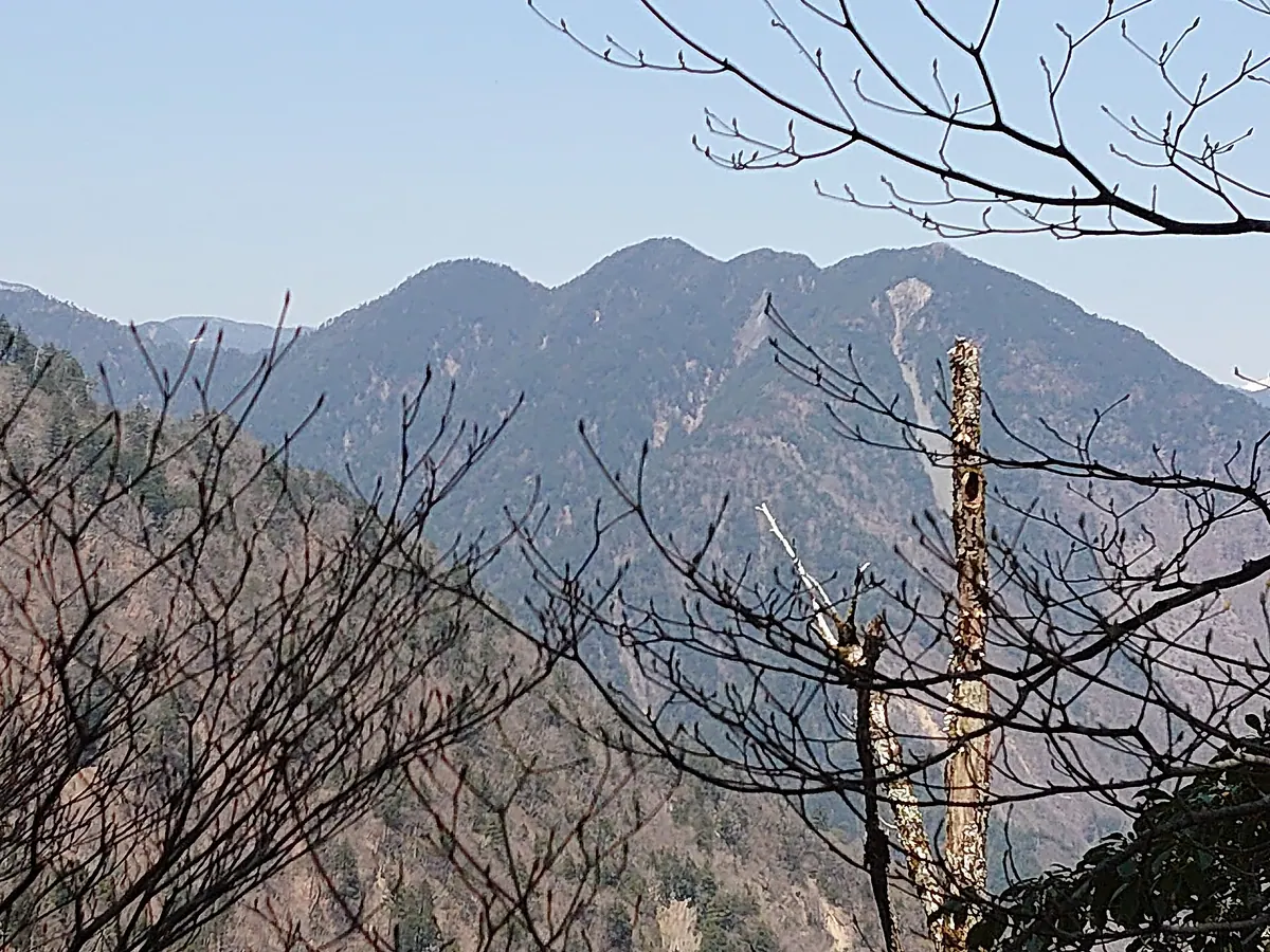
What it is
- A mountain in the deep southern Japanese Alps consisting of four distinct peaks.
- The highest point of the mountain reaches an elevation of 2149 meters.
- A triangulation point is located at the summit of the 2104 meter peak.
What to see
- Dense forest covering all four peaks with no views from the summits.
- A business card holder located at the 2104 meter triangulation point.
- Challenging trail conditions featuring bamboo grass thickets and fallen trees.
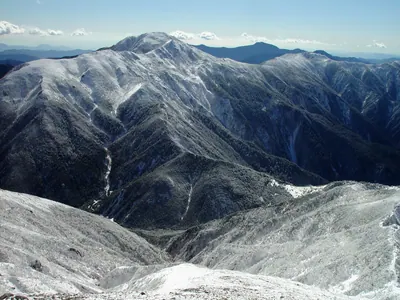
- Views of nearby mountains including Nakanone, Morozawa, and Senzu.
When to go
- Visit in June to see Schizocodon soldanelloides flowers blooming around the summit.
Getting there
- The hiking trail starts from the Shirakura Forest Road.
- Expect a round trip exceeding 30 kilometers from the parking area.
Notes written by Japan Gems from facts in Japanese Wikipedia.
Where it is
Mount Gatchi Open in Google Maps
この施設の関係者の方へ
このページは公開情報をもとに Japan Gems が作成し、訪日外国人向けに英語で掲載しています。 写真や情報の追加・修正を承っています。お店の写真に差し替えることもできます。
このページの情報を更新する