

20 Mountains in Fukui worth your time
Japan Gems
37 Mountains in Fukui, with what to see and how to get there.
Fukui has 37 mountains on Japan Gems. Below are the 20 we can tell you the most about — each one written up in English from Japanese sources, with what to see and how to get there. See all mountains in Fukui.
01
Mount Hōonji
FUKUI · PLACE 法恩寺山
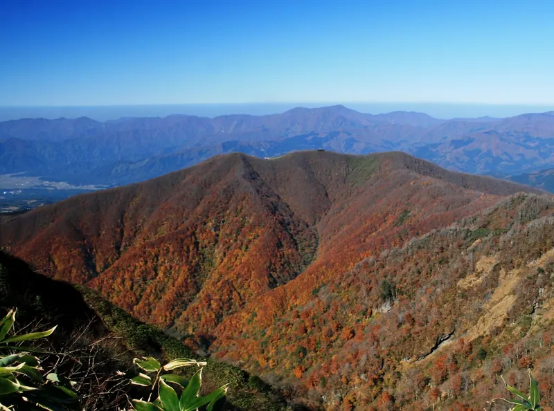
A 1,357-meter peak in Hakusan National Park offering historic pilgrimage trails, a major ski resort, and ancient natural monuments.
What it is
- A 1,357-meter volcanic peak located within the borders of Hakusan National Park.
- Founded by the monk Taicho as a site for Shugendo mountain ascetic practice.
- A sacred location used for the worship of the nearby Mount Hakusan.
- The source of several tributaries that flow into the Kuzuryu River.
What to see
- The Echizen Zenjo-do trail, recognized as one of Japan's Top 100 Historic Roads.
- A 500-year-old cedar tree designated as a natural monument.
- The only forest of sawagurumi trees found in Fukui Prefecture.
- Ski Jam Katsuyama, a large resort operating on the mountain slopes.
- Panoramic views from the summit across the Ryohaku Mountains.
When to go
- The main climbing season runs annually from May through November.
- Skiing and winter sports facilities open starting in December.
Getting there
- Access the mountain via a toll road connecting from National Route 157.
02
Mount Ichijōshiroyama
FUKUI · PLACE 一乗城山
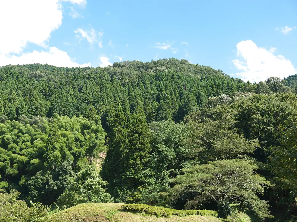
A historic mountain peak featuring the ruins of Ichijodani Castle and scenic hiking trails through a Special Historic Site.
What it is
- A 435.8-meter mountain in Fukui City that was once the site of Ichijodani Castle.
- A designated Special Historic Site of Japan featuring ruins of an ancient mountain fortress.
- The mountain serves as a key section of the Chubu Nature Trail network.
What to see
- Remains of the inner citadel and secondary enclosures located at the summit.
- Ichijo Falls situated on the mountainside along the hiking route.
- Views of the Asuwa River flowing along the northern foot of the mountain.
- Historical ruins including the Shimokido gate area and the Yudono garden site.
Getting there
- A hiking trail starts near the Shimokido ruins for the ascent.
- The climb to the summit takes approximately ninety minutes from the base.
- A trail leads directly from the Yudono ruins garden to the upper slopes.
- A full circuit hike of the mountain area takes approximately three hours.
03
Mount Sanjūsangen
FUKUI · PLACE 三十三間山
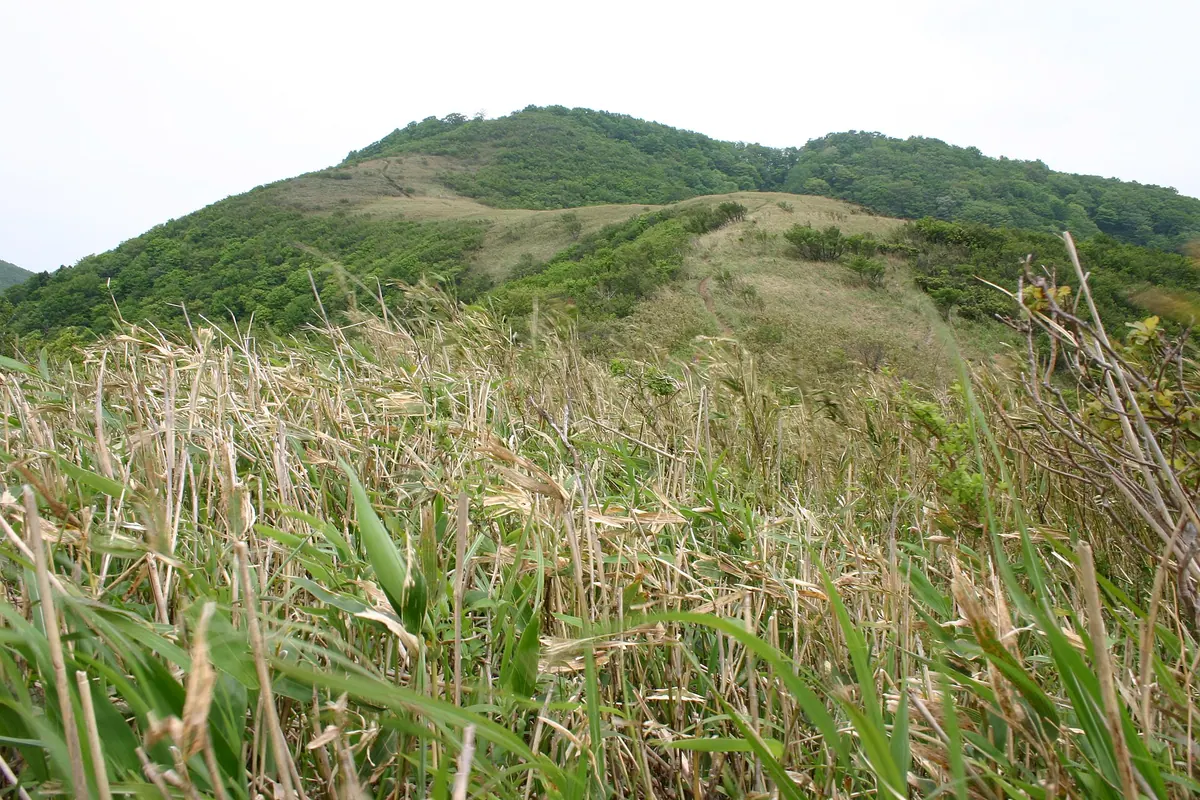
A scenic mountain peak on the border of Shiga and Fukui offering panoramic views of Lake Biwa and Wakasa Bay.
What it is
- A mountain peak bordering Wakasa Town, Mihama Town, and Takashima City.
- The source of the Kita River featuring a first-class triangulation point at the summit.
- Formerly known as Kuramidake or Tenjin-yama before its current name was established.
- The name originates from a local legend regarding the Sanjusangen-do temple in Kyoto.
What to see
- A stone tower dedicated to the wind god erected in 1832.
- Summit views overlooking the waters of Lake Biwa and Wakasa Bay.
- Natural geological formations consisting primarily of sandstone and shale.
- A planned wind power site intended to host seventeen turbines along the ridge.
Getting there
- The main trailhead is located within the Kurami settlement.
- A forty-minute walk from JR Tomura Station leads to the trailhead.
- The hike from the trailhead to the summit takes approximately two hours.
04
Mount Miashi-fuji
FUKUI · PLACE 三足富士
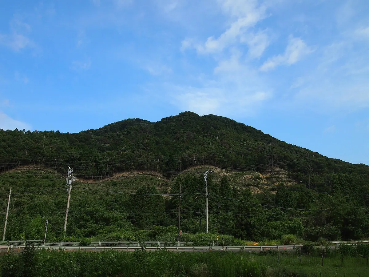
A mountain in Tsuruga known as Fukui's local Fuji, historically significant for its proximity to ancient barrier stations and castle ruins.
What it is
- A mountain in Tsuruga City officially recorded on Geospatial Information Authority maps.
- The only mountain in Fukui Prefecture with Fuji in its formal name.
- A site located near the historical Arachi-no-seki barrier station and Hikidanjo Castle ruins.
- A peak overlooking the former Hikida post town and its historic water transport canal.
What to see
- The Hachijoiwa rock which provides a clear view of the three-part summit.
- The Goigawa River flowing between the mountain and the Sengoku period castle ruins.
- Surrounding natural landmarks including Mount Iwagomoyama and the Misakagoe pass.
- The Hikida district landscape situated at the base of the mountain.
When to go
- Daylight hours are best for viewing the summit from the Hachijoiwa rock.
- Climbing to the peak is not recommended as there are no established trails.
05
Joyama (Fukui)
FUKUI · PLACE 城山
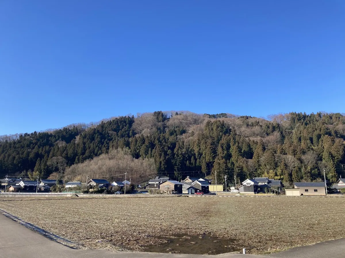
A 202-meter mountain in southern Fukui featuring medieval castle ruins, archaeological excavations, and rare seasonal flora along hiking trails.
What it is
- A 202-meter mountain in southern Fukui City composed of andesite lava and dacite rocks.
- Site of the former Nago Castle ruins featuring eight enclosures and ten moats.
- A historical location used as a sutra mound according to 2022 archaeological excavations.
- Home to Sarutahiko Shrine which is located at the foot of the mountain.
What to see
- Three distinct hiking trails named Sugitani, Nago, and Gogadani lead to the summit.
- A third-class triangulation point named Toiwa located at the mountain peak.
- Rare Kinran flowers growing along the path from Nakayashiki to the summit.
- A stone torii gate standing in a rice field nine kilometers to the east.
Getting there
- Asamizu Station on the Fukui Railway is the nearest station to the mountain.
- The site is located in the vicinity of Fukui Prefectural Asuwa High School.
06
Mount Arashima
FUKUI · PLACE 荒島岳
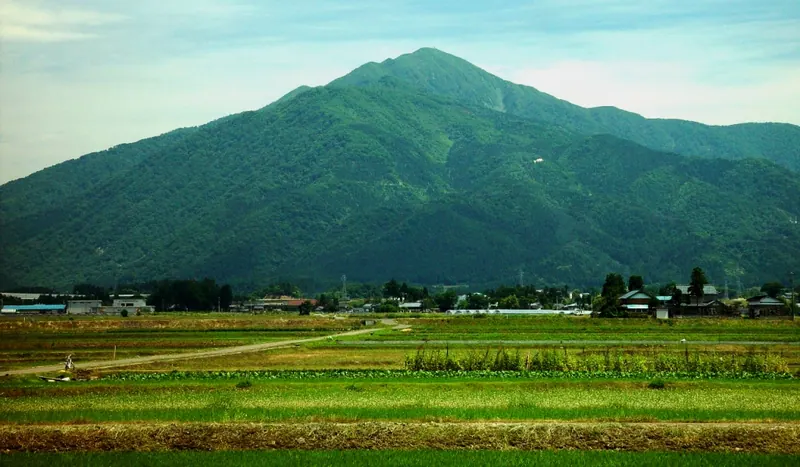
A 1,523-meter peak in Fukui known as Ono Fuji, featuring a summit shrine and a sixty-meter waterfall.
What it is
- A 1,523-meter mountain in Ono City formed from a twenty million year old caldera.
- The only peak in Fukui Prefecture included in the 100 Famous Mountains of Japan.
- A historic site recorded as Arashimagatake in the Engishiki text from the year 905.
- Part of the Okuetsu Kogen Prefectural Natural Park with the Kuzuryu River to the north.
What to see
- Arashima Shrine located at the very summit of the mountain.
- The Maboroshi no Otaru waterfall which features a sixty-meter drop.
- Four designated climbing courses leading through the natural park to the peak.
- Panoramic views from the summit often referred to locally as Ono Fuji.
When to go
- Early May for the Mebuki-matsuri mountain opening festival.
- The Kadohara climbing course takes approximately three hours and forty minutes to ascend.
07
Mount Sazae
FUKUI · PLACE 蠑螺が岳
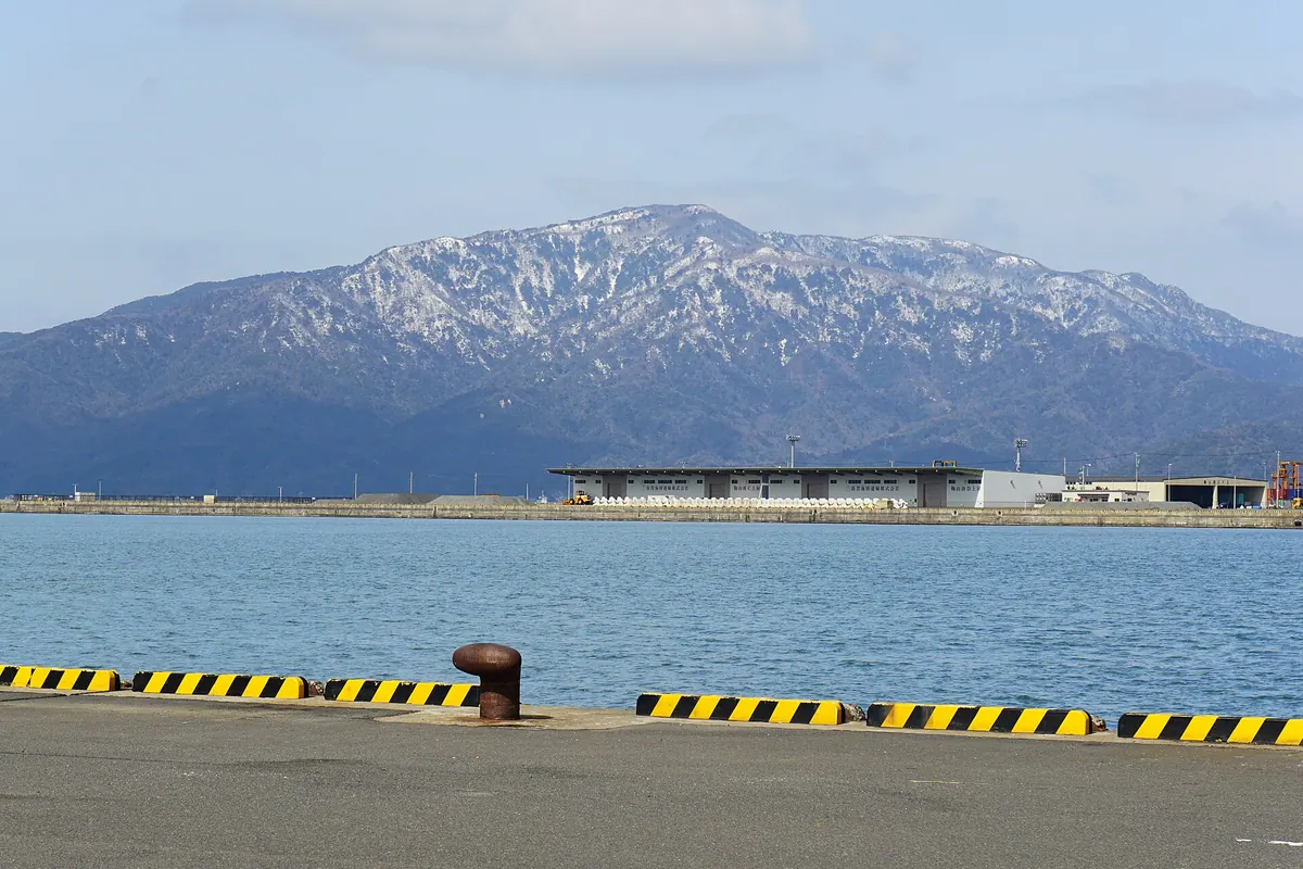
A granite mountain on the Tsuruga Peninsula offering views of a freshwater pond and historic shell-shaped rock formations.
What it is
- A mountain located on the border of Tsuruga and Mihama in the northern peninsula.
- The landscape is defined by exposed weathered granite and unique shell-shaped rock formations.
- The peak was historically featured in the Edo period prints of the Tsuruga Eight Views.
- A third-class triangulation point marks the summit of the mountain.
What to see
- The freshwater pond called Igaike is visible from the mountain summit.
- A shrine dedicated to Hachidai Ryuo stands near the banks of Igaike pond.
- Large granite rocks known as Ichimai-iwa are located along the descent path.
- The mountain trail passes by a stream known as Chomeisui.
- Shell-shaped rock formations that give the mountain its name.
When to go
- Early summer is the best time to see Enkianthus flowers blooming along the ridge.
08
Mount Kyō
FUKUI · PLACE 経ヶ岳
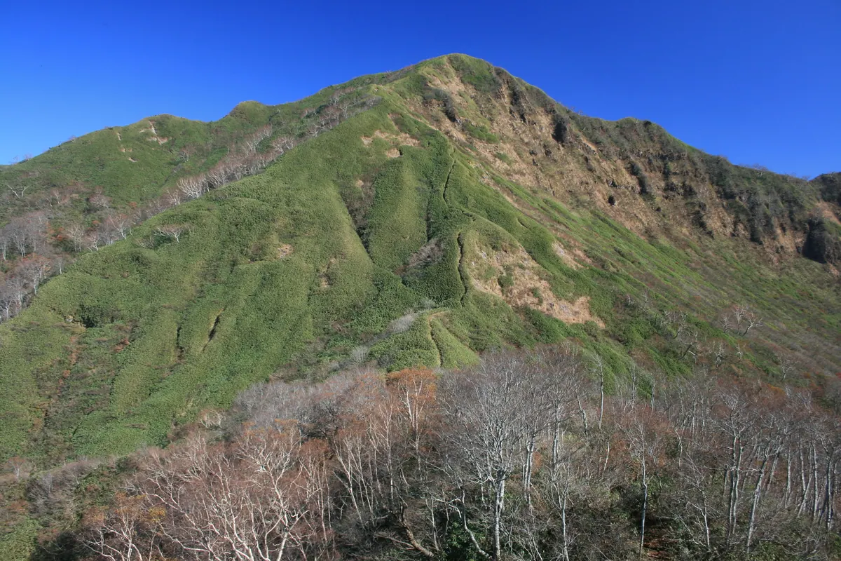
A 1,625-meter volcanic peak in Hakusan National Park offering Sea of Japan views and unique high-altitude wetlands.
What it is
- A 1,625-meter mountain formed by volcanic activity on the border of Katsuyama and Ono.
- Part of the Hakusan National Park and the Dinosaur Valley Fukui Katsuyama Geopark.
- One of the 300 Famous Japanese Mountains and a source for the Kuzuryu River.
- The site where a Buddhist sutra container from 1522 was discovered at the summit.
What to see
- A flat wetland area known as Ikenoosawa located on the mountain.
- Panoramic views stretching to the Sea of Japan from the summit area.
- Diverse geological features recognized as part of a designated Geopark.
Getting there
- Access the trailheads from Rokuroshi Highlands or the Karatani forest road.
- Reach the area via Echizen-Ono Station on the Etsumi-Hoku Line.
- Use the Ski Jam Katsuyama lifts for easier access to the mountain slopes.
09
Mount Bishamon (Ryōhaku Mountains)
FUKUI · PLACE 毘沙門岳
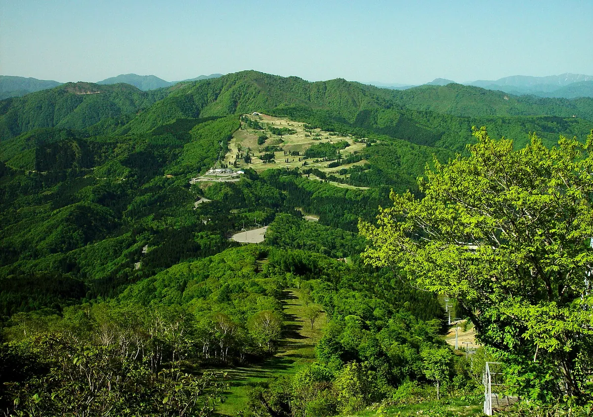
A 1,385-meter peak on the Gifu-Fukui border offering hiking trails, a historic shrine, and views from the Hakusan volcanic belt.
What it is
- A 1,385.3-meter mountain located on the border of Fukui and Gifu prefectures.
- The southernmost peak of the Hakusan volcanic belt within the Ryohaku Mountains.
- One of the 100 Mountains of Gifu serving as a major regional watershed.
- A recreational site featuring a ski resort and golf course on the northern slope.
What to see
- A second-class triangulation point marking the summit of the mountain.
- Nagataki Hakusan Shrine located at the eastern foot of the peak.
- A designated natural monument horse chestnut tree growing within the area.
- Panoramic views from the hiking trail that opened in 1996 from Hinoki Pass.
Getting there
- The summit is situated 3.5 kilometers west of Hokuno Station.
- Access the mountain via the hiking trail starting at Hinoki Pass.
10
Mount Tezutsu
FUKUI · PLACE 天筒山
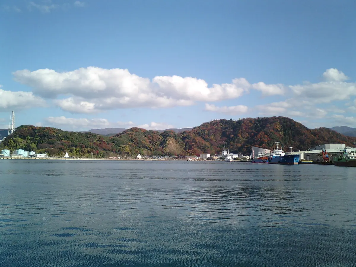
A historic mountain site featuring a summit park, observatory views of Tsuruga Bay, and a shrine hosting a unique spring festival.
What it is
- A mountain standing 171.3 meters tall in Tsuruga City.
- Site of a former branch castle built by the Asakura clan.
- Historical battlefield where Oda Nobunaga and Tokugawa Ieyasu once fought.
- Home to Kanegasaki Park and the Nakaikemi Wetland to the east.
What to see
- An observatory at the summit providing views over Tsuruga Bay.
- Kanegasaki Shrine located on the mountain slopes.
- Kamogasaki Square where Emperor Taisho once rested.
- Two distinct hiking routes leading to the mountain top.
- Local wildlife including Japanese serows and bears.
When to go
- Visit during the Hanakae Festival held every spring at the shrine.
Getting there
- The mountain is located approximately three kilometers from Tsuruga Station.
11
Mount Miuchi
FUKUI · PLACE 三内山
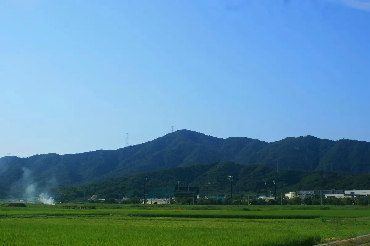
A border peak between Tsuruga and Mihama featuring historical provincial ridges and dense forests of oak and beech trees.
What it is
- A mountain peak situated on the border of Tsuruga and Mihama.
- The ridges mark the historic boundary between Wakasa and Echizen provinces.
- The summit features a third-class triangulation point for geographic measurement.
What to see
- A white square reflector stands prominently on the eastern ridge.
- Natural forests consisting primarily of oak and beech trees.
- A summit area that offers limited visibility of the surrounding landscape.
- Ridges connecting to nearby Mount Hatago, Mount Saifuga, and Mount Sazae.
Getting there
- Access the summit by following power line inspection paths instead of general trails.
- One climbing route begins near the Mase Pass tunnel.
- A second climbing route starts from the Nishihara area in Tsuruga City.
12
Mount Jōhōji
FUKUI · PLACE 浄法寺山
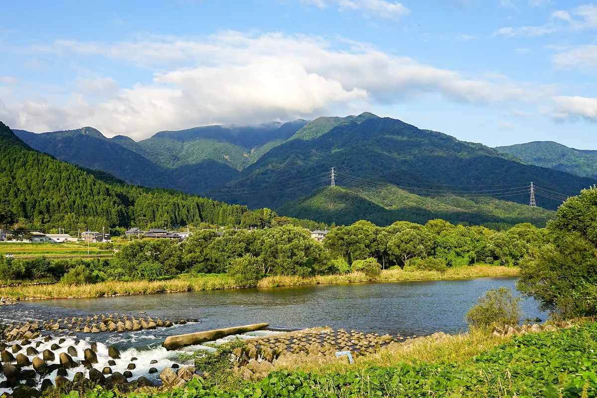
A mountain range spanning three municipalities featuring Zen history, medieval castle ruins, and rare beech and stewartia forests.
What it is
- A mountain range spanning Sakai City, Eiheiji Town, and Katsuyama City.
- The name originates from a Sōtō Zen temple once located here.
- The area includes Kanmuri Peak and Washigatake Peak reaching up to 838 meters.
- Washigatake is mentioned in the Taiheiki and served as a medieval fortification site.
What to see
- Ruins of a castle and a stone monument at the summit of Washigatake.
- Extensive beech forests distributed near the mountain top.
- A community of Japanese stewartia growing on the northern slope.
- A youth travel village located on the mountainside for visitors.
- Views from the peaks of Kanmuri and Washigatake.
When to go
- The surrounding area is known for heavy snowfall during the winter months.
13
Mount Ochi
FUKUI · PLACE 越知山
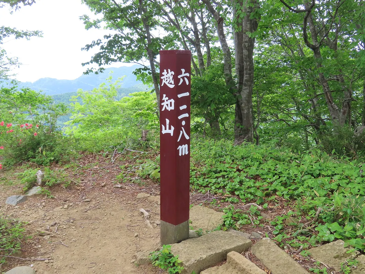
A 612-meter peak and sacred site where the monk Taicho practiced asceticism, featuring historic shrines, statues, and a high waterfall.
What it is
- One of the Five Mountains of Echizen located on the border of Fukui City.
- A sacred site where the monk Taicho practiced asceticism during his youth.
- Part of the protected Echizen-Kaga Kaigan Quasi-National Park area.
- A mountain summit historically closed to women that now features Ochi Shrine.
What to see
- Ochi Shrine and the Okunoin sanctuary located at the mountain summit.
- Donoike pond situated at an elevation of 580 meters.
- Taishido hall housing a wooden seated statue of Taicho from the Edo period.
- Sentai Jizodo built in 1860 with donations from local lords.
- Nunogataki, a seventy meter high waterfall used for water asceticism.
- Remains of the Ochi Shrine temple located near the Taicho-no-mori hot spring.
14
Daibutsuji San
FUKUI · PLACE 大佛寺山
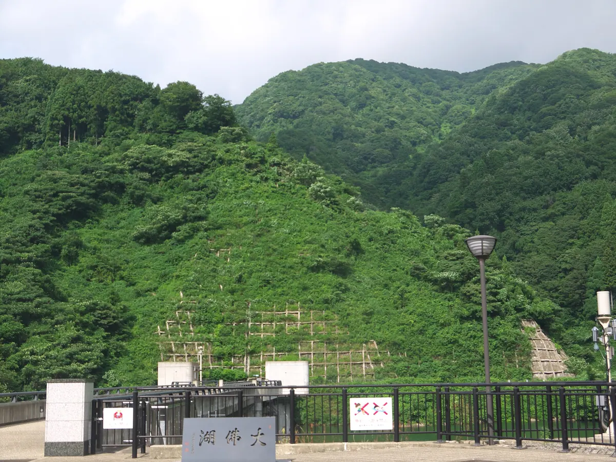
A historic mountain behind Eiheiji Temple featuring the 13th-century ruins of Dogen's original temple and ancient, massive forest trees.
What it is
- A mountain spanning Fukui City and Eiheiji Town named after a historic temple.
- Site where the priest Dogen established Daibutsuji Temple in 1244.
- The mountain sits directly behind the modern Eiheiji Temple complex.
- The location preserves ruins of the original temple site on the mountainside.
What to see
- The Godai Sugi cedar tree which is 650 years old.
- Giant cedar trees reaching up to 35 meters in height.
- A two hectare Mongolian oak forest growing at 750 meters elevation.
- Large beech trees exceeding one meter in diameter within the temple grounds.
- Red oak trees with eighty centimeter diameters growing in the forest.
- Views of nearby peaks including Mount Jofukuji and Mount Kanmuri.
15
Mount Dainichi
FUKUI · PLACE 大日山
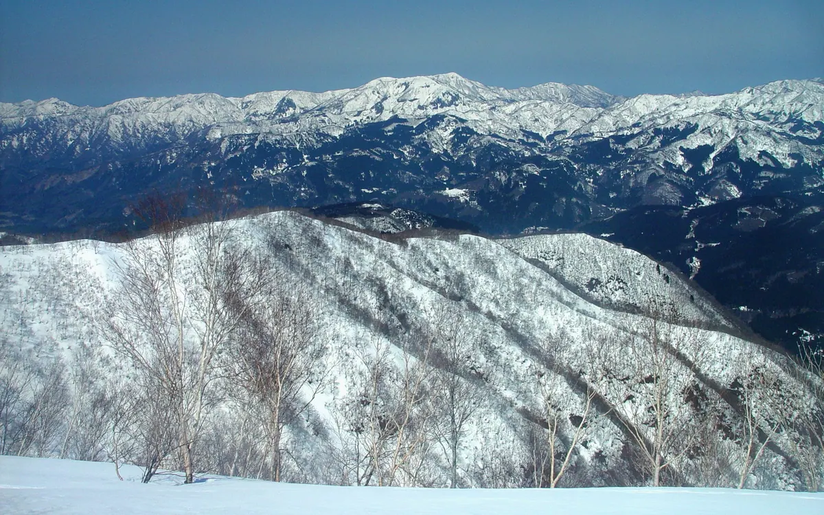
A 1,368-meter lava dome volcano in a geopark offering summit views of beech forests and bamboo grass fields.
What it is
- A lava dome volcano standing 1,368 meters above sea level in the Ryohaku Mountains.
- Part of the Dinosaur Valley Fukui Katsuyama Geopark spanning Fukui and Ishikawa prefectures.
- Named after the deity Dainichi Nyorai and known locally as Echizen Kabuto or Kaga Dainichi.
- One of the three mountains collectively known as Enuma Sanzan.
What to see
- The summit area featuring native beech trees and Chishima-zasa bamboo grass.
- The headwaters of the Dainichi and Daishoji rivers originating from the slopes.
- Three emergency shelters located at various points on or near the mountain.
Getting there
- Access the trailhead located on National Route 416 in Fukui Prefecture.
16
Mount Ōchō
FUKUI · PLACE 大長山
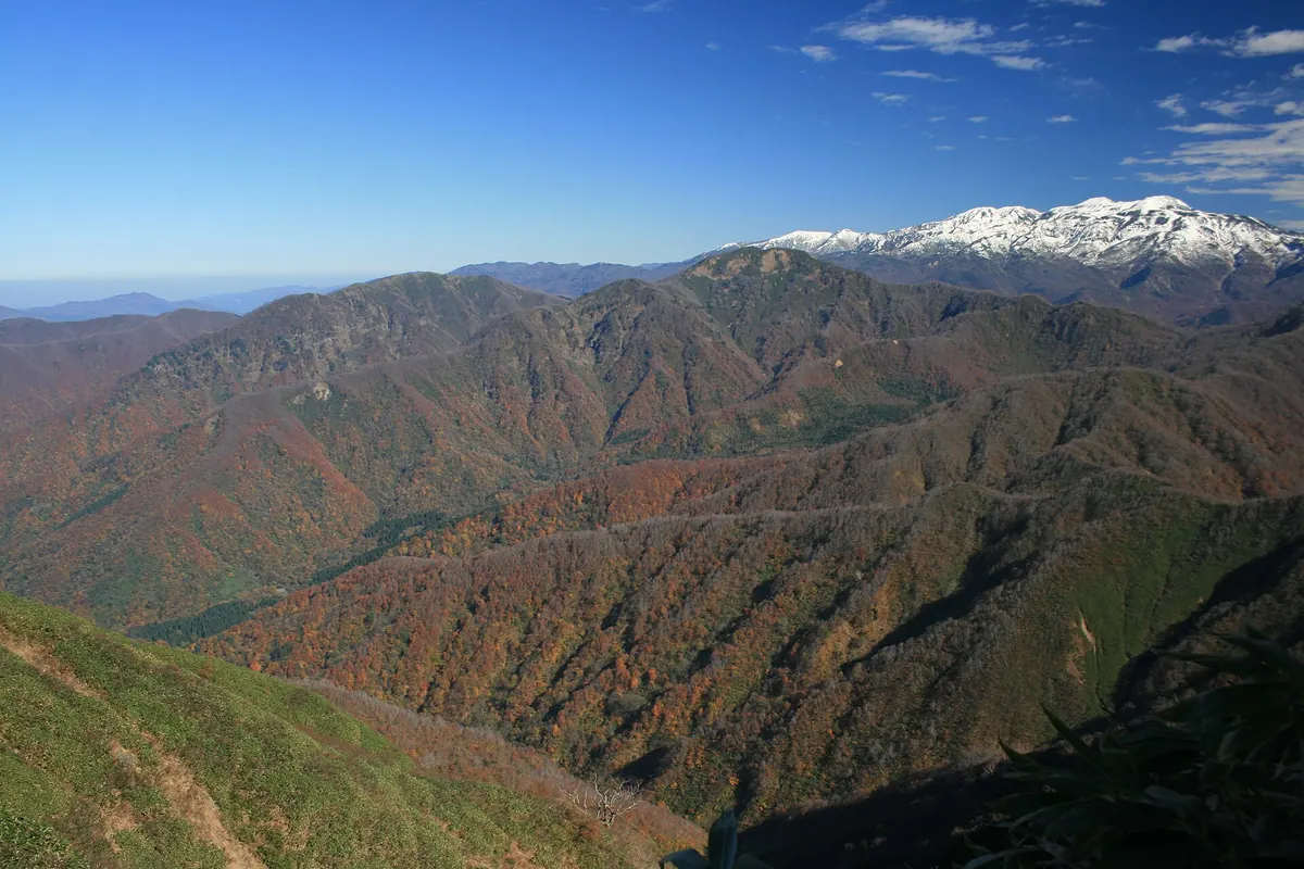
The highest peak on the Kaetsu border, offering high-altitude wetlands and rare plant life within Hakusan National Park.
What it is
- A 1,671-meter peak located on the border of Fukui and Ishikawa prefectures.
- The highest mountain on the Kaetsu border within the Ryohaku Mountains.
- Part of the Hakusan National Park and the Dinosaur Valley Fukui Katsuyama Geopark.
- The source of the Takinami River originating from its mountain range.
What to see
- High-altitude wetlands and ponds located on the northeastern slopes.
- Summit views featuring open grasslands and low shrubs.
- Rare plant species including the Skimmia japonica var. intermedia.
- A mountain trail connecting the peak to nearby Mount Toritate.
Getting there
- Access to the climbing route is provided via the Obara Forest Road.
17
Mount Hino
FUKUI · PLACE 日野山
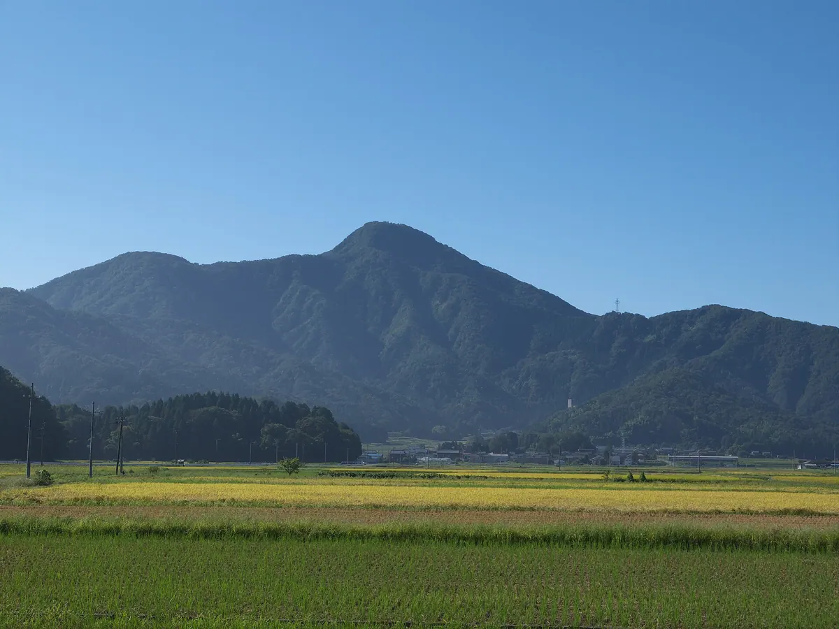
A sacred 795-meter peak known as Echizen Fuji, offering a historic summit shrine and connections to famous Japanese poets.
What it is
- A 794.8-meter mountain commonly known as Echizen Fuji located in Fukui Prefecture.
- One of the five mountains of Echizen opened by the monk Taicho in 718.
- The western end of the Okumino range and the object of worship for Hino Shrine.
- A historic site featured in the writings of Murasaki Shikibu and Matsuo Basho.
What to see
- A Shinto shrine located at the very summit of the mountain.
- Views from the peak reaching an elevation of nearly 795 meters.
- The western base where the Hokuriku Expressway Hino Mountain Tunnel passes through.
Getting there
- The climb to the summit from Nakahabuki takes approximately ninety minutes.
18
Mount Kanmuri
FUKUI · PLACE 冠山
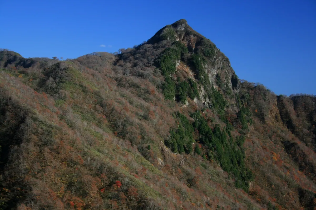
A 1,256-meter peak on the Gifu-Fukui border offering 360-degree views and a relatively short one-hour ascent from the pass.
What it is
- A 1,256-meter mountain bordering Gifu and Fukui prefectures in the Ryohaku range.
- One of Japan's 300 Famous Mountains and the source of two major rivers.
- A designated special heavy snowfall zone located directly above the Kanmuri Tunnel.
What to see
- A 360-degree panoramic view of the surrounding region from the summit.
- A third-class triangulation point marking the highest point of the peak.
- The trailhead located at Kanmuri Pass which leads to the ascent path.
Getting there
- Access the trailhead via National Route 417 at the Kanmuri Pass.
- The hike to the summit takes approximately one hour from the mountain pass.
19
Nosakadake
FUKUI · PLACE 野坂岳
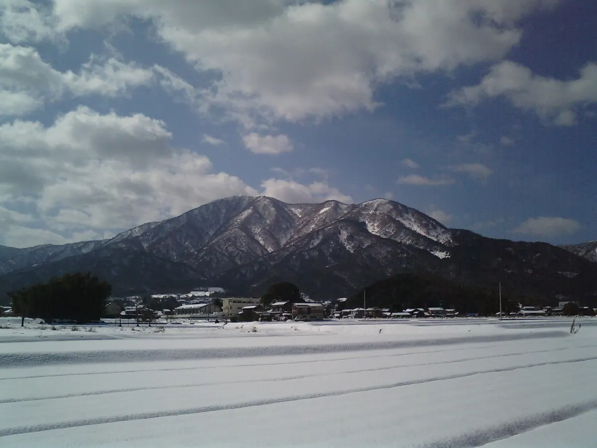
The highest peak in Tsuruga, known as Tsuruga Fuji, offering historic ruins and views from a 913-meter summit.
What it is
- The highest mountain in Tsuruga City with an elevation of 913 meters.
- One of the Tsuruga Sanzan mountains, often referred to as Tsuruga Fuji.
- Site of ancient ruins where Paleolithic stone tools were discovered.
- Listed as one of the 100 Famous Mountains of Kansai.
What to see
- Broad-leaved beech forests growing at elevations above 750 meters.
- A mountain hut and a small shrine located at the summit.
- A small Buddhist statue enshrined as the deity Nosakagongen.
- The mountain serves as borrowed scenery for the Shibata Family Garden.
Getting there
- The main climbing route begins from the Ikoi-no-mori campground.
20
Mount Hachiman
FUKUI · PLACE 八幡山
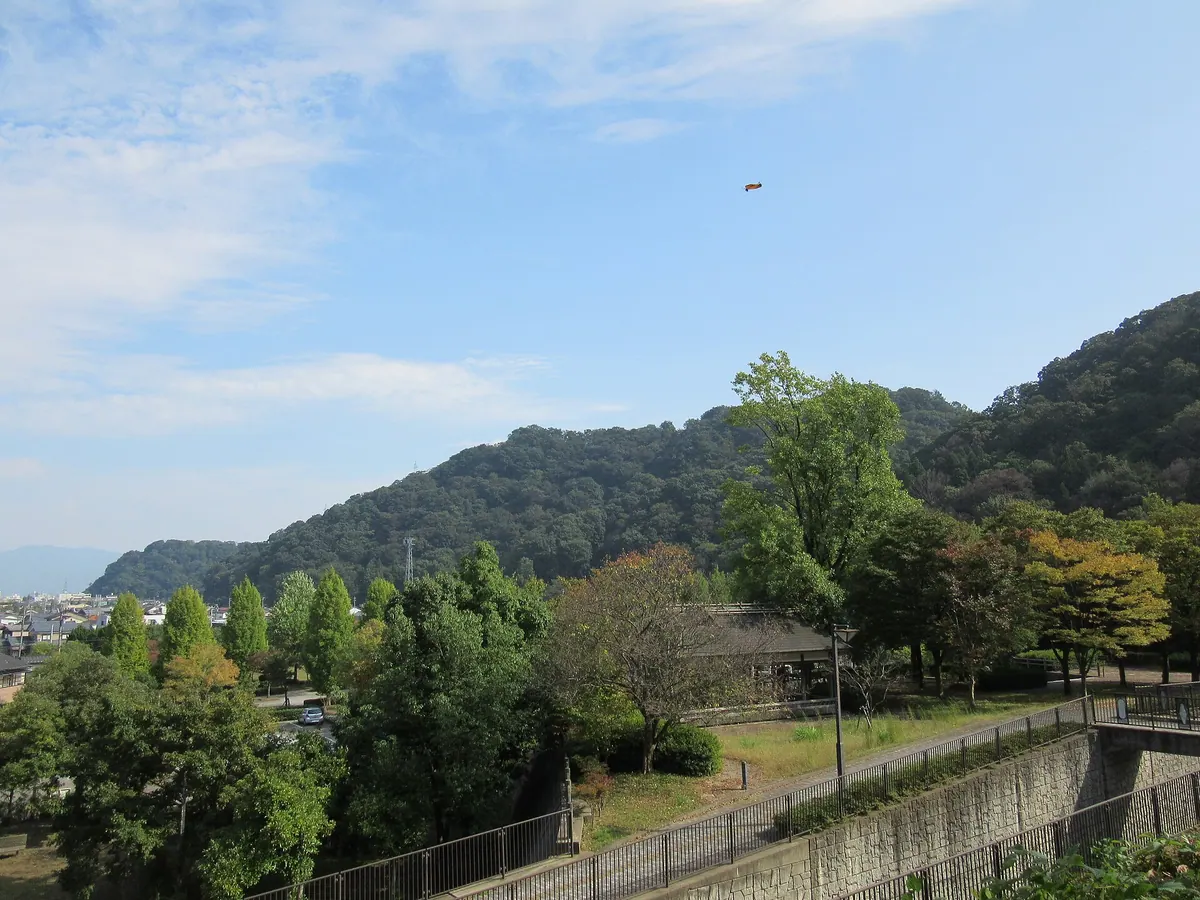
A 131-meter peak in Fukui City featuring public parks and an observation deck with views of the surrounding urban landscape.
What it is
- A mountain standing at an elevation of 131 meters in Fukui City.
- One of the three peaks known as the Asuwa mountains.
- A recreation area containing two public parks for visitors.
- A summit area featuring an observation deck and modern toilet facilities.
What to see
- Panoramic views of eastern and southern Fukui City from the summit.
- Tsukimi Park located on the eastern part of the mountain.
- A staircase connecting the summit park to the Osagoe Minkaen area.
- Six different entrances leading to various parts of the mountain.
Getting there
- The summit is accessible by car via three specific mountain entrances.