Mount Sanjūsangen
三十三間山
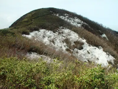
A scenic mountain peak on the border of Shiga and Fukui offering panoramic views of Lake Biwa and Wakasa Bay.
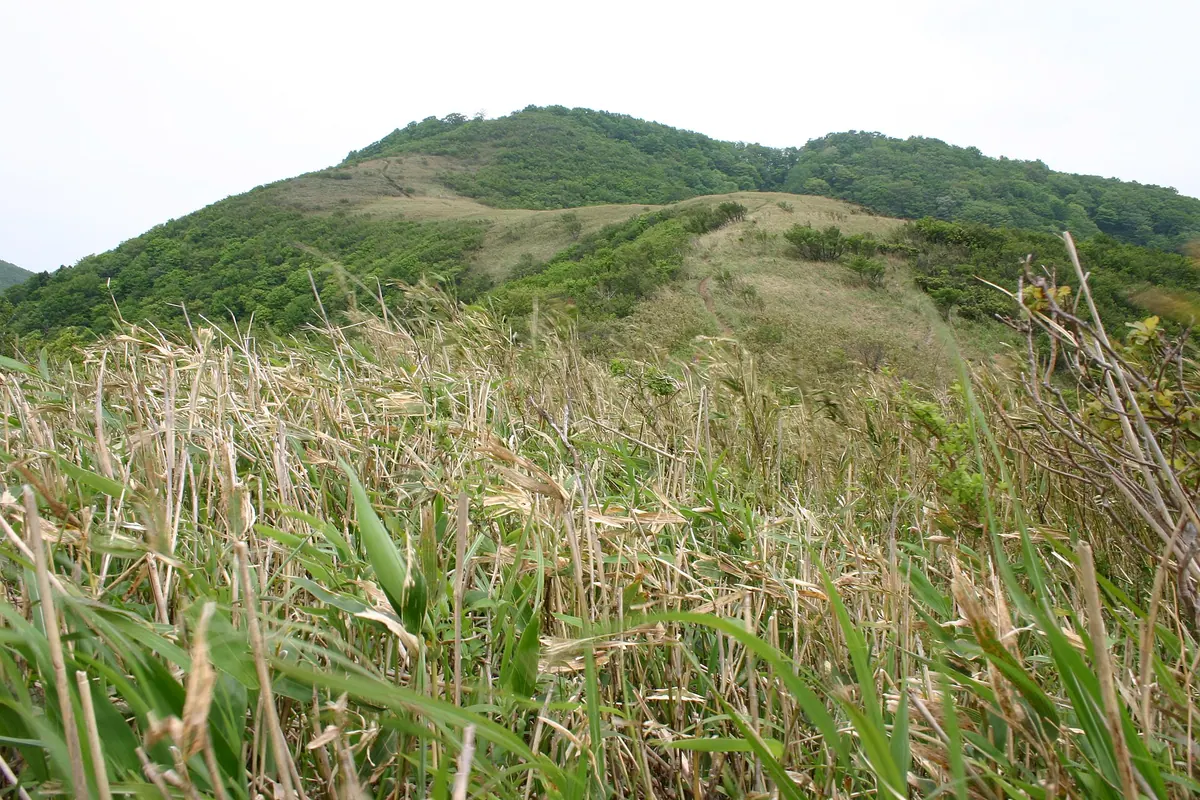
What it is
- A mountain peak bordering Wakasa Town, Mihama Town, and Takashima City.
- The source of the Kita River featuring a first-class triangulation point at the summit.
- Formerly known as Kuramidake or Tenjin-yama before its current name was established.
- The name originates from a local legend regarding the Sanjusangen-do temple in Kyoto.
What to see
- A stone tower dedicated to the wind god erected in 1832.
- Summit views overlooking the waters of Lake Biwa and Wakasa Bay.
- Natural geological formations consisting primarily of sandstone and shale.
- A planned wind power site intended to host seventeen turbines along the ridge.
Getting there
- The main trailhead is located within the Kurami settlement.
- A forty-minute walk from JR Tomura Station leads to the trailhead.
- The hike from the trailhead to the summit takes approximately two hours.
Notes written by Japan Gems from facts in Japanese Wikipedia.
Where it is
Mount Sanjūsangen Open in Google Maps
この施設の関係者の方へ
このページは公開情報をもとに Japan Gems が作成し、訪日外国人向けに英語で掲載しています。 写真や情報の追加・修正を承っています。お店の写真に差し替えることもできます。
このページの情報を更新する