

20 Mountains in Akita worth your time
Japan Gems
35 Mountains in Akita, with what to see and how to get there.
Akita has 35 mountains on Japan Gems. Below are the 20 we can tell you the most about — each one written up in English from Japanese sources, with what to see and how to get there. See all mountains in Akita.
01
Mount Moriyoshi
AKITA · PLACE 森吉山
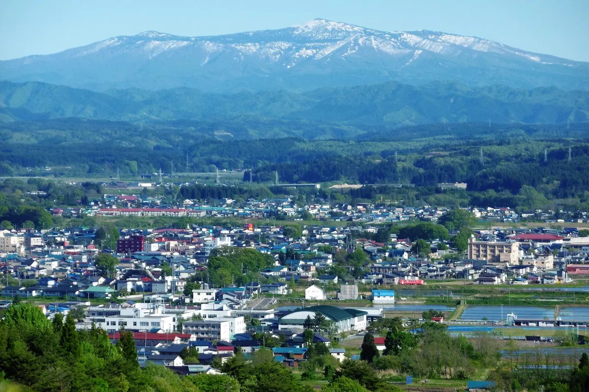
A 1,454-meter volcano and wildlife protection area famous for alpine flowers, ancient shrines, and winter frost-covered trees.
What it is
- A 1,454-meter-high volcano also known as Mukaidake or Akitayama.
- One of Japan's 100 Famous Flower Mountains and a designated Wildlife Protection Area.
- A Prefectural Natural Park featuring extensive beech forests and rare bird species.
- Home to Moriyoshi Shrine which was established in the year 807.
What to see
- Frost-covered trees that appear across the landscape during the winter months.
- A large rock called Kanmuri-iwa that serves as the deity for the shrine.
- Rare wildlife including the black woodpecker and the golden eagle.
- Two mountain huts available for hikers exploring the volcanic terrain.
When to go
- Visit from early January to early March to see the frost-covered trees.
Getting there
- Shared taxis provide transportation from Takanosu Station and Odate-Noshiro Airport.
02
Mount Ōbuka
AKITA · PLACE 大深岳
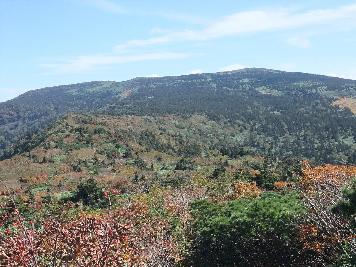
A shield volcano on the Akita-Iwate border offering panoramic views of Mount Iwate and access to designated wilderness areas.
What it is
- A shield volcano located on the border of Akita and Iwate prefectures.
- Part of the South Hachimantai region with trails established since 1961.
- The upper Tamagawa river area is a designated wilderness area.
- The peak elevation decreased by one meter following the 2011 Tohoku earthquake.
What to see
- Panoramic views of Mount Iwate and Mount Akita-Komagatake from the summit.
- A second-class triangulation point located at the peak.
- The Obuka Sanso mountain hut situated at 1420 meters elevation.
- Large Akita butterbur plants growing along the Obukazawa stream.
- Hiking trails connecting the peak to Mount Mitsuishi and Mount Iwate.
Getting there
- The shortest climbing route begins from Matsukawa Onsen via Mount Gentagadake.
- Access is available via the Hachimantai Aspite Line road which opened in 1970.
03
Mount Kurikoma
AKITA · PLACE 栗駒山
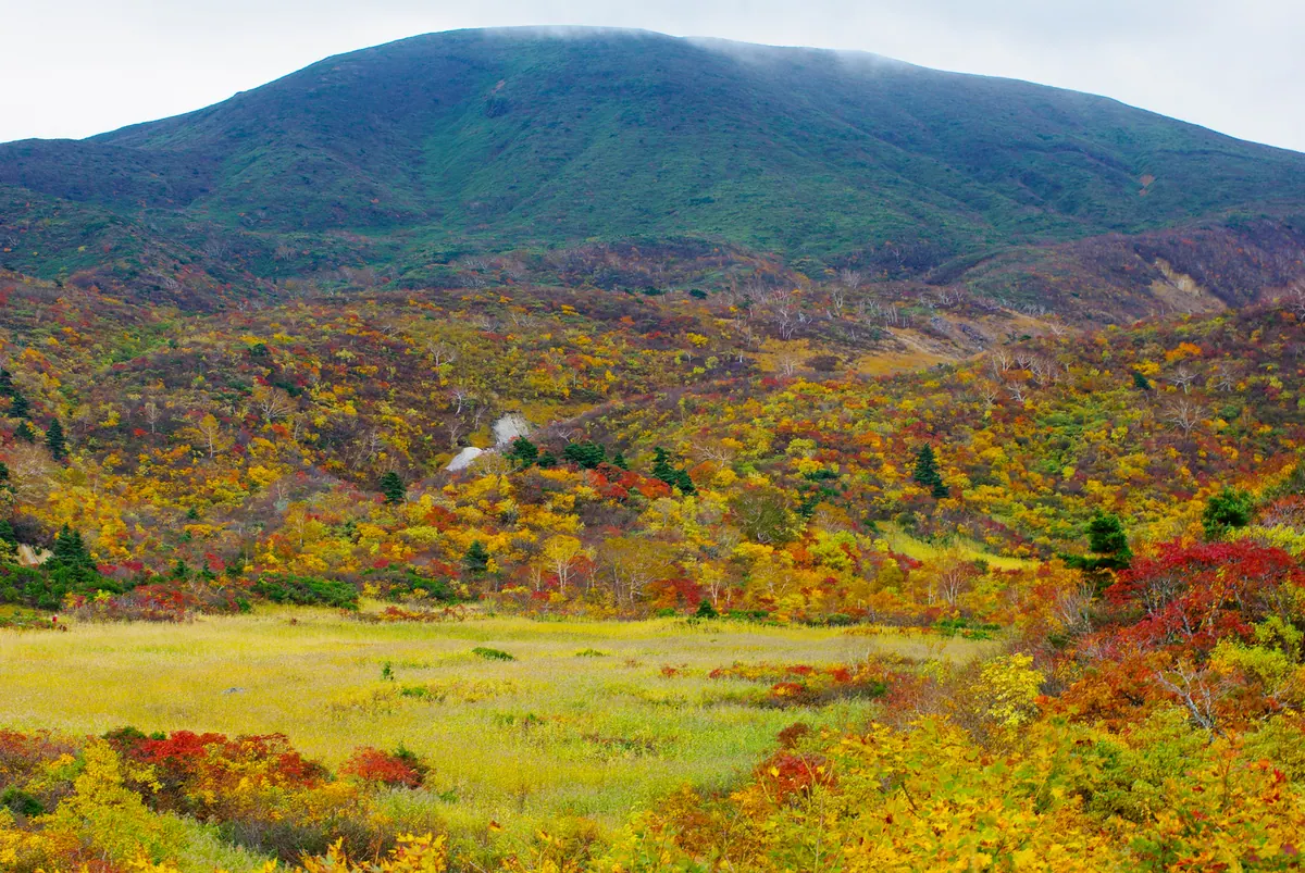
An active stratovolcano in the Ou Mountains famous for its crater lake and nine distinct hiking trails to the summit.
What it is
- An active stratovolcano standing 1,626 meters tall within a designated Quasi-National Park.
- A mountain spanning the borders of Miyagi, Akita, and Iwate prefectures.
- One of Japan's 200 Famous Mountains formed approximately 500,000 years ago.
- A volcanic site featuring a crater lake created during an eruption in 1944.
What to see
- Showa Lake, a crater lake formed by volcanic activity in the mid-twentieth century.
- A horse-shaped snow pattern that appears on the western slopes during early summer.
- Nine different climbing routes that lead visitors to the mountain peak.
- The central hiking course starting from the Iwakagami-daira trailhead.
When to go
- The official mountain opening ceremony takes place on the third Sunday of May.
- Early summer is the best time to view the horse-shaped snow formation.
04
Mount Gonomiya
AKITA · PLACE 五の宮岳
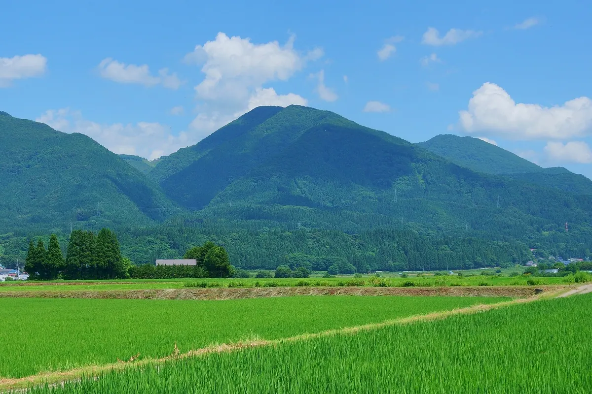
A 1,115-meter peak in Akita featuring ancient shrines, historical ruins, and a traditional fire festival with views of Kazuno Basin.
What it is
- A mountain standing 1,115 meters tall named after Prince Gonomiya.
- Part of the Mitake-mairi mountain climbing route in Kazuno City.
- Home to ancient ruins dating back to the Jomon and Nara periods.
- A spiritual site featuring Gonomiya Gongen Shrine at the summit.
What to see
- Gonomiya Gongen Shrine located at the highest point of the mountain.
- Yakushi Shrine situated along the trail on the mountainside.
- Panoramic views of the Kazuno Basin and Mount Hachimantai from the top.
- A second-class triangulation point marking the summit area.
- A connecting trail that leads toward the nearby Mount Kawanage.
When to go
- Spring for the traditional Ojina-Obana fire festival held on the mountain.
Getting there
- A hiking trail begins directly from JR Hachimantai Station.
05
Kawanage Dake
AKITA · PLACE 皮投岳
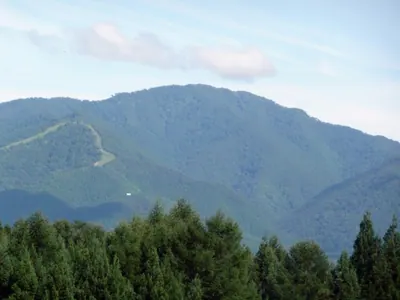
A 1,122-meter peak in the Ou Range offering a multi-mountain hiking route and rich local hunting folklore.
What it is
- A 1,122-meter mountain located on the border of Iwate and Akita prefectures.
- Part of the Ou Mountain Range and the Aogaki Mountains surrounding Kazuno Basin.
- Associated with agricultural development and legends of hunters throwing bear skins.
- One of three peaks included in the annual Santake Mountaineering event.
What to see
- A hiking route that connects the summit with Gonomiyadake and Mitsurayama.
- Views of a mirror-like marsh mentioned in local mountain folklore.
- Natural scenery along the trail from the Hanawagoe mountain pass.
When to go
- Visit during the annual Santake Mountaineering event to join local hikers.
Getting there
- The trailhead is located at Hanawagoe on the prefectural road.
- The descent route ends near the JR East Hachimantai Station.
06
Mount Takkomori
AKITA · PLACE 達子森
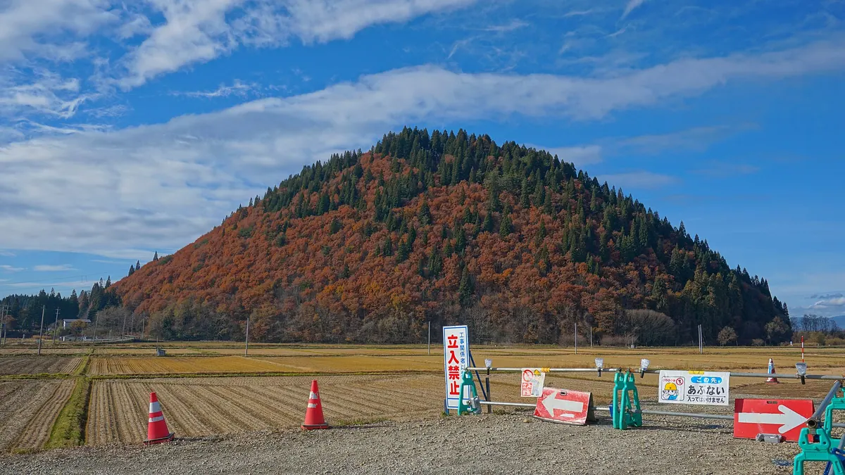
A 207-meter rounded hill in Akita featuring a summit shrine, a ski resort, and a local hot spring.
What it is
- A 207-meter mountain whose name comes from the Ainu word for a rounded hill.
- The site of Yakushi Shrine, which is located at the mountain summit.
- A recreational area featuring a walking course known as Ikoi no Mori.
- A local hub for sports with a baseball stadium and park at the base.
What to see
- Yakushi Shrine situated at the highest point of the mountain.
- A ski resort located on the western slope of the hill.
- Digital television relay stations situated near the summit area.
- A hot spring located at the base of the mountain.
- The Yoneshiro River which flows to the north of the site.
When to go
- Visit in April for the annual festival featuring spirit mediums.
Getting there
- The mountain is located near Ogita Station on the Hanawa Line.
07
Mount Moya
AKITA · PLACE 茂谷山
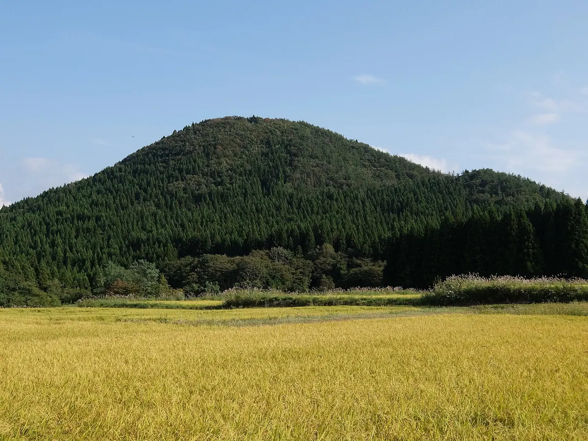
A coastal landmark mountain in Akita featuring a summit shrine, historic kiln ruins, and views of the Shirakami Mountains.
What it is
- A mountain in Noshiro City that served as a landmark for navigators on the Sea of Japan.
- The name may derive from the Ainu word Moiwa, meaning a small mountain.
- Site of the early Kamakura period Ehibachi Nagane kiln ruins.
- A location featuring three subterranean kilns that produced jars, bowls, and sutra containers.
What to see
- A stone pillar and torii gate marking the start of the trailhead.
- The Yakushido hall with a fourth-class triangulation point located directly behind it.
- A summit shrine featuring a stone lantern dating back to 1850.
- Panoramic views of the Shirakami Mountains and Noshiro City from the top.
- Pottery artifacts from the kiln site displayed at the nearby Michi-no-Eki Futatsui.
When to go
- The annual festival is traditionally held on April 4.
08
Bōju San
AKITA · PLACE 房住山
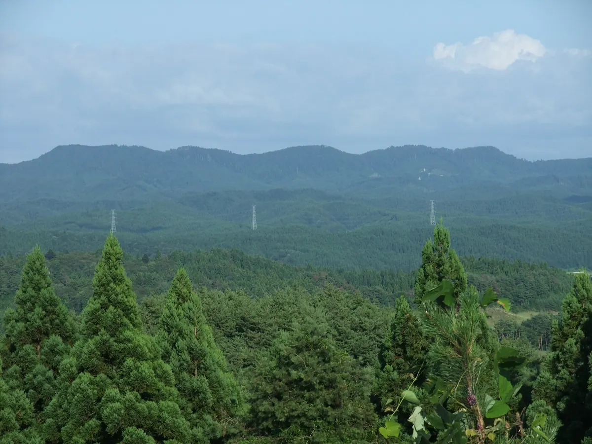
A historic mountain in Akita featuring thirty-three stone Kannon statues, ancient Buddhist ruins, and panoramic views of the Oga Peninsula.
What it is
- A mountain spanning Mitane Town and Noshiro City designated as a Nature Observation Education Forest.
- A former major center for mountain Buddhism founded during the early Heian period.
- The site of Terayashiki marks where Buddhist activity was once centered.
- The ridge features thirty-three stone Kannon statues installed in 1861.
What to see
- Thirty-three Kannon statues carved from Oga stone located along the mountain ridge.
- Panoramic views of Mount Moriyoshi and the Oga Peninsula from the summit.
- A steep cliff known as Daikura no Saka along the climbing route.
- The Boju-kan tourist information center located at the Tukinoue site.
- A mountain hut and restroom facilities situated at the summit.
- A two-hour hiking trail leading from the trailhead to the top.
09
Mount Taka
AKITA · PLACE 高山
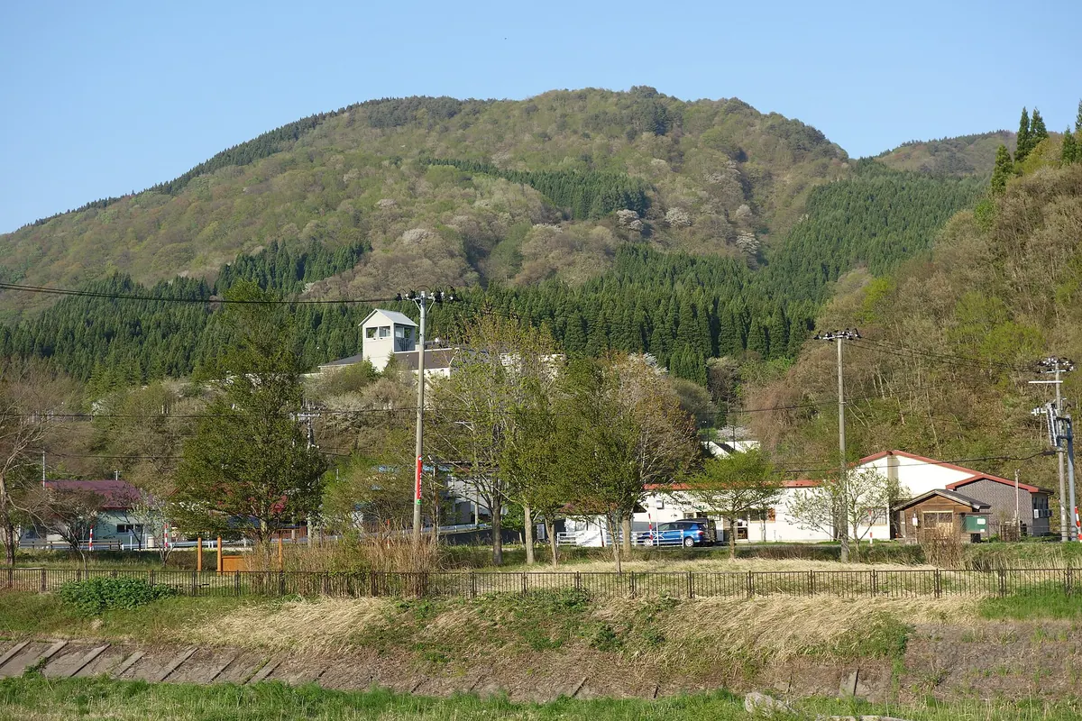
A historic Shugendo training site in Akita featuring mountain hiking trails, Buddhist statues, and proximity to a World Heritage center.
What it is
- A peak designated as part of the Akita Shirakami Prefectural Natural Park since 2004.
- A historical site used for Shugendo mountain asceticism and spiritual training.
- The birthplace of the famous sumo wrestler Noshiro gata Kinsaku at the mountain base.
What to see
- Stone gods and Buddhist statues located at the mountain summit.
- The Shirakami-sanchi World Heritage Conservation Center situated at the foot of the mountain.
- Hiking trails that connect the conservation center directly to the summit.
- Garo Falls and the scenic Garo Gorge located near the mountain area.
- The Ichinowatari Castle ruins positioned on a plateau across the river.
When to go
- The local hot spring festival featuring traditional Taiko drum performances.
10
Akita-Yakeyama
AKITA · PLACE 秋田焼山
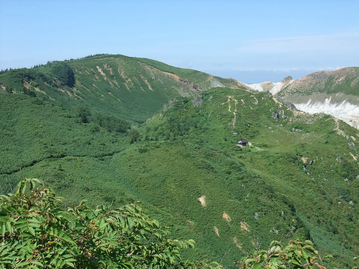
An active stratovolcano featuring a crater lake and mountain hut, situated between two famous hot spring areas in Akita.
What it is
- An active stratovolcano located on the border of Kazuno and Semboku.
- A mountain with a seven kilometer diameter that began forming 500,000 years ago.
- The site of a former sulfur mine previously operated by Ogiwara Mining.
- A volcanic area monitored by the Japan Meteorological Agency for safety alerts.
What to see
- A body of water called Yunuma located inside the summit crater.
- The Yakeyama-hinanyojo mountain hut situated near the peak.
- Tamagawa Hot Spring located on the western side of the mountain.
- Goshogake Hot Spring located on the eastern side of the mountain.
- The Soranuma crater which was the site of a phreatic explosion in 1997.
Getting there
- A bus operates between the Goshogake and Tamagawa hot spring sites.
11
Mount Moya
AKITA · PLACE 母谷山
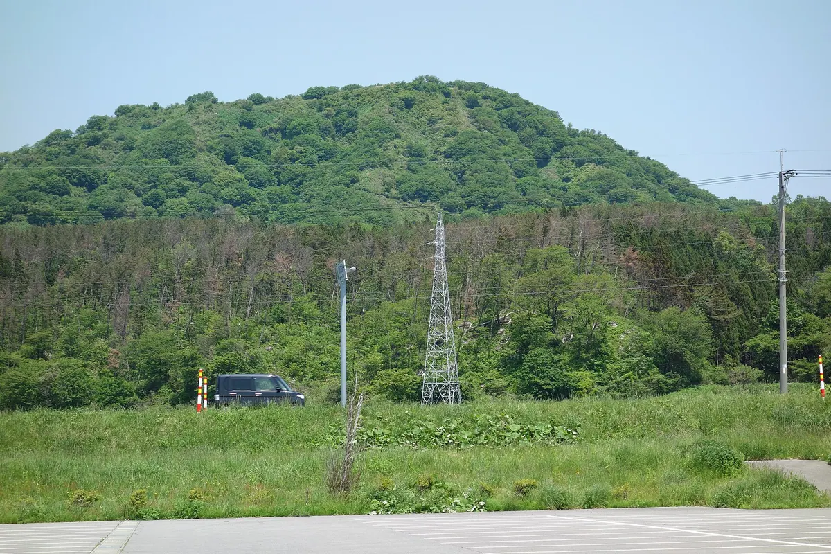
A 276-meter peak in Akita featuring ancient ruins at its base and a shrine at the summit grassland.
What it is
- A mountain standing at an elevation of 276 meters also known as Menagatayama.
- The site of Ezo-yakata ruins located at the foot of the mountain.
- A destination for annual climbing trips by local elementary school students.
- A peak mentioned in the lyrics of the Mizusawa Elementary School song.
What to see
- Remains of Chinese ceramics and stone-paved floors within the Ezo-yakata ruins.
- A shrine dedicated to Mount Taihei located at the summit.
- A triangulation point situated in the grassland at the top.
- Views of Mount Yakushi situated immediately to the north.
- A rest facility with toilets located at 100 meters elevation.
When to go
- The summit is reachable in approximately 20 minutes from the trailhead.
12
Mount Teppachimori
AKITA · PLACE 鉄鉢森
A 581-meter peak in Akita featuring medieval castle ruins and a history of gold and silver mining.
What it is
- A mountain standing 581 meters high on the right bank of the Yoakejima River.
- Site of the medieval Nagoshi Castle ruins located at the northeast foot.
- Former production center for gold and silver along the western base.
- Strategic location where the castle managed local precious metal production.
What to see
- Medieval ruins of Nagoshi Castle situated at the base of the mountain.
- Hiking trail that ascends the peak starting from the Nagoshi settlement.
- Views of the surrounding landscape including the nearby Mount Wasedayama.
- Natural scenery belonging to the Yoneshiro River system in Kazuno City.
Getting there
- Access the mountain trail starting from the Nagoshi settlement.
13
Mount Torage
AKITA · PLACE 虎毛山
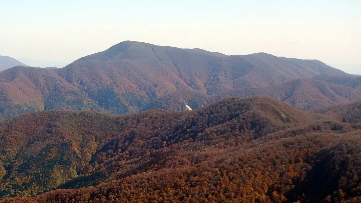
A dome-shaped peak in Akita featuring high-altitude wetlands and a unique connection to the Hanshin Tigers baseball team.
What it is
- A dome-shaped peak located within the Kurikoma Quasi-National Park in Yuzawa City.
- One of the Tohoku 100 Famous Mountains with trails dating back to 1930.
- The highest mountain in Japan to include the character for tiger in its name.
- A site where Hanshin Tigers baseball fans hike to pray for team victories.
What to see
- A high-altitude wetland area spreading across the southwestern part of the summit.
- An evacuation hut located directly at the mountain summit.
- Natural forests consisting of beech and cypress trees along the slopes.
- A trail junction for Takamatsu-dake situated at an elevation of 1234 meters.
- Akinomiya Onsen Village located at the base of the mountain.
14
Mount Kampu
AKITA · PLACE 寒風山
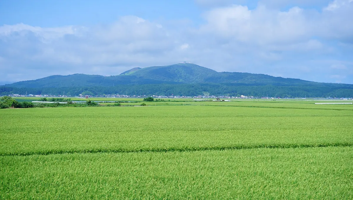
A 355-meter stratovolcano in Akita offering 360-degree views from a rotating observatory and popular paragliding spots.
What it is
- A 355-meter stratovolcano located in Oga City within a designated Geopark.
- The mountain is primarily composed of andesite and basalt rock formations.
- A popular location for paragliding activities and geological study.
- Site of radio relay stations used by the National Police Agency.
What to see
- A rotating observation deck that completes a full circle in thirteen minutes.
- Panoramic 360-degree views of the surrounding Oga Peninsula and landscape.
- A large northwest crater and a smaller crater located to the southwest.
- A monument dedicated to the historical Five Charter Oath near the summit.
- Stone monuments built to commemorate the victims of historical earthquakes.
15
Mount Hōō
AKITA · PLACE 鳳凰山
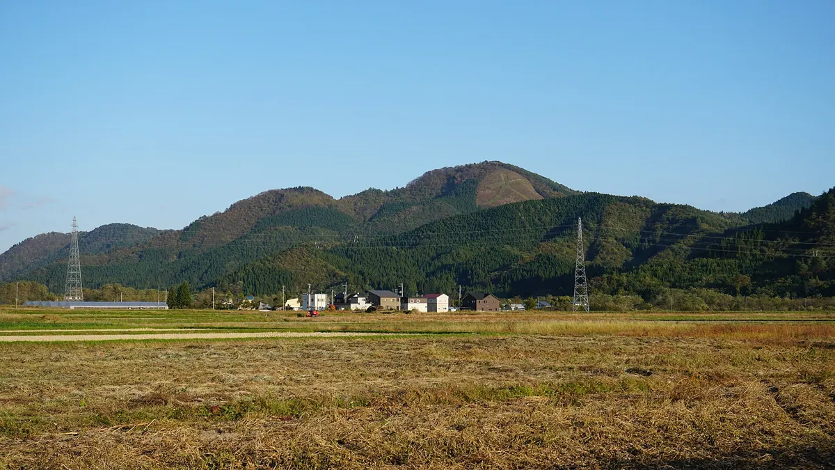
A scenic mountain in Odate featuring a massive mountainside bonfire character used for ancestral memorial services and local festivals.
What it is
- A mountain in Odate City designated as one of eight local scenic views.
- Named after the former Gyokurinji Temple founded by the Asari clan.
- The site of a memorial bonfire event established in 1968.
- The Nagaki River flows directly at the foot of the mountain.
What to see
- A giant character for big measuring four hundred and fifty meters in length.
- Naganeyama General Athletic Park located at the base of the mountain.
- The Odate Youth Outdoor Learning Center situated at the foot.
- Views of the surrounding landscape from one of the city's scenic spots.
When to go
- Visit during the Daimonji bonfire event to see the illuminated mountainside.
16
Nanakura Yama
AKITA · PLACE 七座山
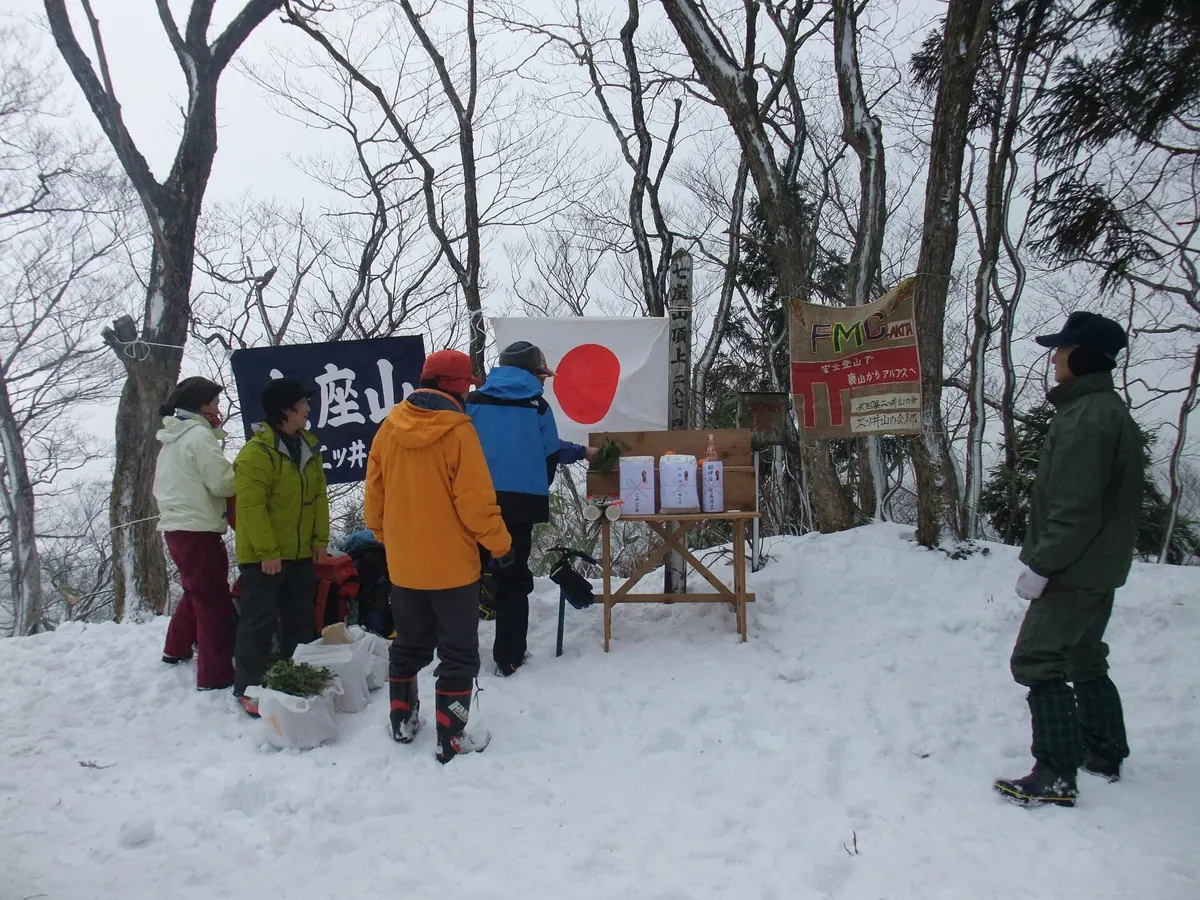
A scenic mountain range in Akita featuring seven peaks, ancient cedar forests, and historic ruins from the Heian period.
What it is
- A mountain range in Noshiro consisting of seven distinct peaks.
- Home to natural Akita cedar forests protected since the Edo period.
- Site of buried ruins dating back to the early Heian period.
- Nanakura Shrine stands at the foot of these mountains.
What to see
- A traditional lion head carving located in a cave on the eastern slope.
- The highest peak, Gongenza, which offers views from its summit.
- A pine tree-lined path marking the former route of the Ushu Kaido.
- An observatory located at the Minoza peak for panoramic views.
- Multiple hiking trails that traverse the various peaks and forests.
- The confluence of the Ani, Fujikoto, and Yoneshiro rivers nearby.
17
Towari Yama
AKITA · PLACE 十和利山
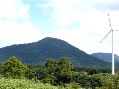
A 990-meter peak on the Aomori-Akita border known for its pyramid-like shape and ancient mystical legends.
What it is
- A mountain peak reaching an elevation of 990.9 meters on the Aomori and Akita border.
- Part of the Lake Towada outer rim and one of the Towada Sanzan mountains.
- Identified by Katsutoki Sakai as a Japanese pyramid according to local mystical theories.
- Associated with the Takeuchi Documents which claim an ancient capital existed at the base.
What to see
- The mountain summit which marks the boundary of three different municipalities.
- The Mayogatai Natural Recreation Forest located within the surrounding foothills.
- Local shops selling seasonal wild plants and various mountain flowers.
- Views of the landscape southeast of Lake Towada from the mountain slopes.
18
Mount Kamuro
AKITA · PLACE 神室山
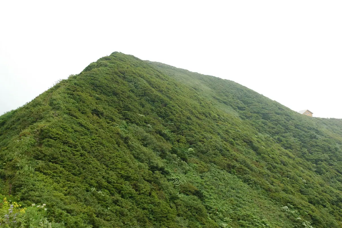
A 1,365-meter peak on the Akita-Yamagata border offering historic stone monuments and a modern refuge hut for hikers.
What it is
- The main peak of the Kamuro Mountain Range reaching 1,365 meters in elevation.
- A designated member of the 200 Famous Japanese Mountains within a quasi-national park.
- A sacred site dedicated to the deity Ommonoimi-no-Kami according to local legend.
- A mountain founded by Sakanoue no Tamuramaro with a range extending 30 kilometers.
What to see
- Stone monuments dedicated to various deities located at the mountain summit.
- A renovated mountain refuge hut that has been open since October 2010.
- Expansive views from the highest point of the Kamuro Mountain Range.
When to go
- Early June for the annual mountain opening ceremony.
19
Mount Tashiro
AKITA · PLACE 田代岳
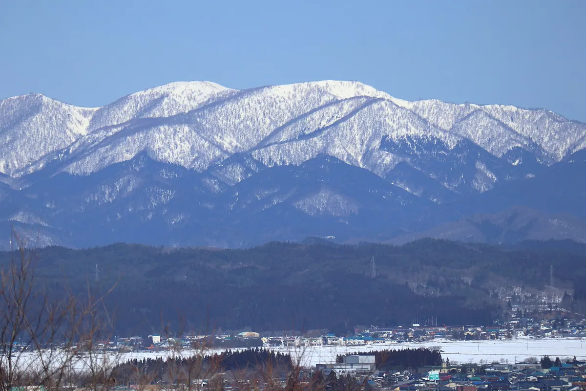
A 1,178-meter volcano featuring a high-altitude wetland with 120 ponds and a shrine with ancient imperial history.
What it is
- A 1,178-meter volcano located within the Shirakami Mountains range in Odate City.
- The center of Tashirodake Prefectural Natural Park featuring a high-altitude wetland.
- Home to Tashirodake Shrine, which was reportedly rebuilt by the monk Ennin in 852.
- A site dedicated to the deity Shirohige Naobi no Kami.
What to see
- A high-altitude wetland near the summit containing over 120 individual ponds.
- A mountain hut located at the summit where the shrine stands.
- A rocket combustion test site operated nearby by Mitsubishi Heavy Industries.
When to go
- July 2nd for a traditional ritual held to predict the annual rice harvest.
20
Mount Futatsumori
AKITA · PLACE 二ツ森
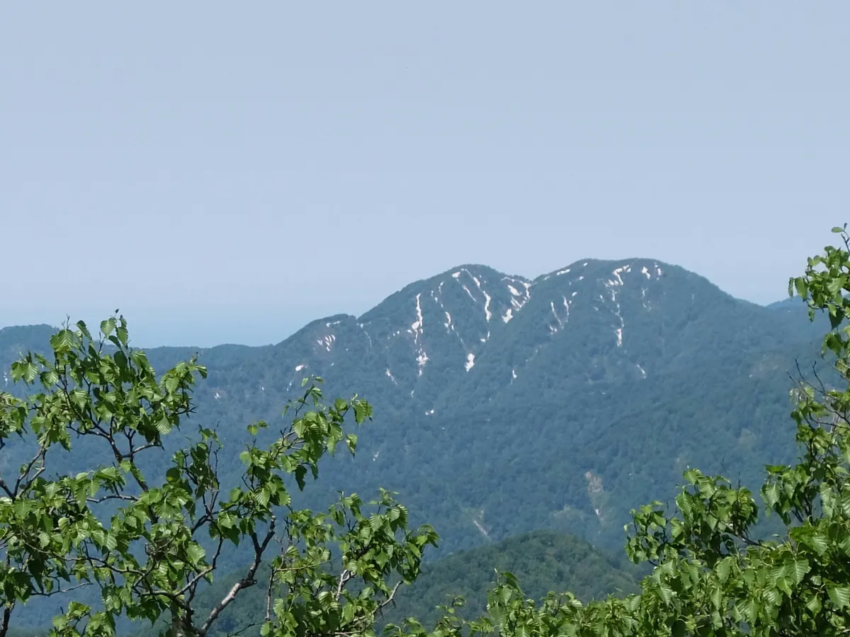
A major peak in the Shirakami-Sanchi range offering views of UNESCO-protected primeval beech forests and diverse mountain wildlife.
What it is
- A 1087-meter peak straddling the border of Aomori and Akita prefectures
- Part of the Shirakami-Sanchi range registered as a UNESCO World Heritage site
- The source of the Akaishi River which originates on the northern slope
- A natural habitat for Japanese serows and Asian black bears
What to see
- Extensive primeval beech forests covering the mountain slopes
- A third-class triangulation point located at the summit
- Views from the boundary of the World Heritage buffer zone
Getting there
- The trailhead is a 45-minute drive from Route 101 in Happo
- A paved forest road allows vehicle access close to the mountain summit