Mount Ōbuka
大深岳
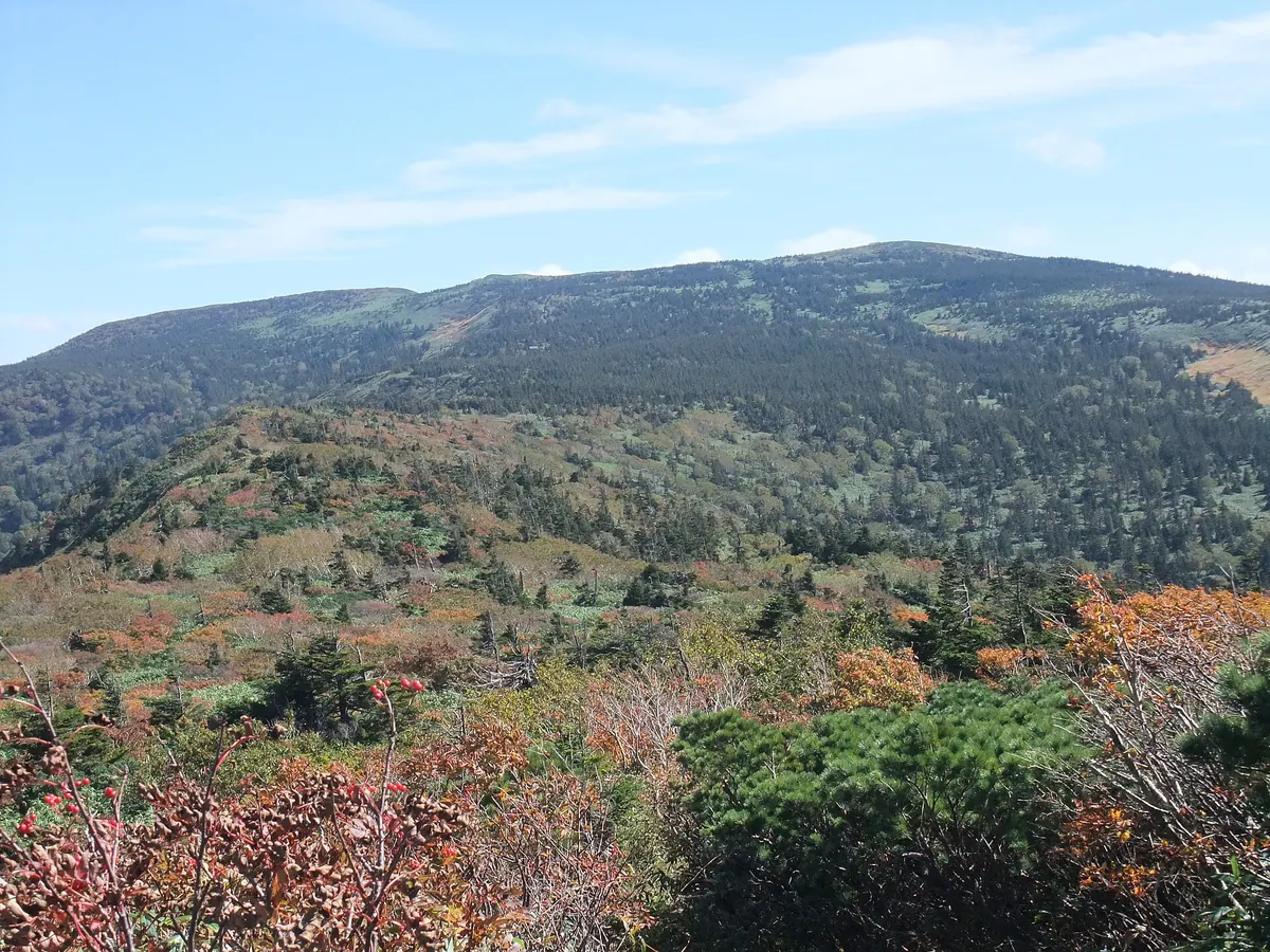
A shield volcano on the Akita-Iwate border offering panoramic views of Mount Iwate and access to designated wilderness areas.
What it is
- A shield volcano located on the border of Akita and Iwate prefectures.
- Part of the South Hachimantai region with trails established since 1961.
- The upper Tamagawa river area is a designated wilderness area.
- The peak elevation decreased by one meter following the 2011 Tohoku earthquake.
What to see
- Panoramic views of Mount Iwate and Mount Akita-Komagatake from the summit.
- A second-class triangulation point located at the peak.
- The Obuka Sanso mountain hut situated at 1420 meters elevation.
- Large Akita butterbur plants growing along the Obukazawa stream.
- Hiking trails connecting the peak to Mount Mitsuishi and Mount Iwate.
Getting there
- The shortest climbing route begins from Matsukawa Onsen via Mount Gentagadake.
- Access is available via the Hachimantai Aspite Line road which opened in 1970.
Notes written by Japan Gems from facts in Japanese Wikipedia.
Where it is
Mount Ōbuka Open in Google Maps
この施設の関係者の方へ
このページは公開情報をもとに Japan Gems が作成し、訪日外国人向けに英語で掲載しています。 写真や情報の追加・修正を承っています。お店の写真に差し替えることもできます。
このページの情報を更新する