

20 Mountains in Tokushima worth your time
Japan Gems
39 Mountains in Tokushima, with what to see and how to get there.
Tokushima has 39 mountains on Japan Gems. Below are the 20 we can tell you the most about — each one written up in English from Japanese sources, with what to see and how to get there. See all mountains in Tokushima.
01
Ōkawara Plateau
TOKUSHIMA · PLACE 大川原高原
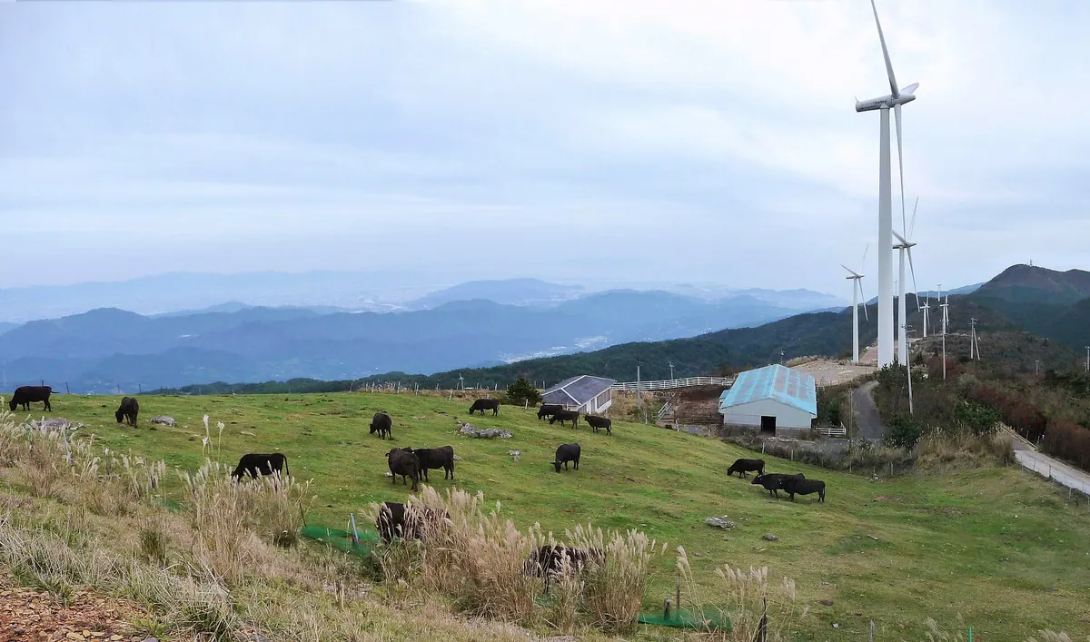
A scenic 120-hectare plateau featuring 30,000 hydrangeas, massive wind turbines, and seasonal grazing pastures in Tokushima Prefecture.
What it is
- A 120-hectare plateau extending east from the summit of Mount Asahigamaru.
- One of the 100 Best Forest Bathing Spots and a top Shikoku landscape.
- A village-run grazing pasture that operates during the warmer months.
- A site featuring fifteen 60-meter tall wind turbines completed in 2008.
What to see
- Approximately 30,000 hydrangeas blooming across the landscape.
- A five-hectare forest dedicated to Mitsuba azaleas.
- Fifteen large wind turbines standing 60 meters high.
- Cattle grazing in the open pasture fields.
When to go
- Early to late July to see the hydrangeas in bloom.
- May to September to observe the grazing pasture in operation.
Getting there
- A 180-minute walk from the Nakabe bus stop.
- Located 30 kilometers away from the Tokushima Interchange.
02
Mount Bizan
TOKUSHIMA · PLACE 眉山
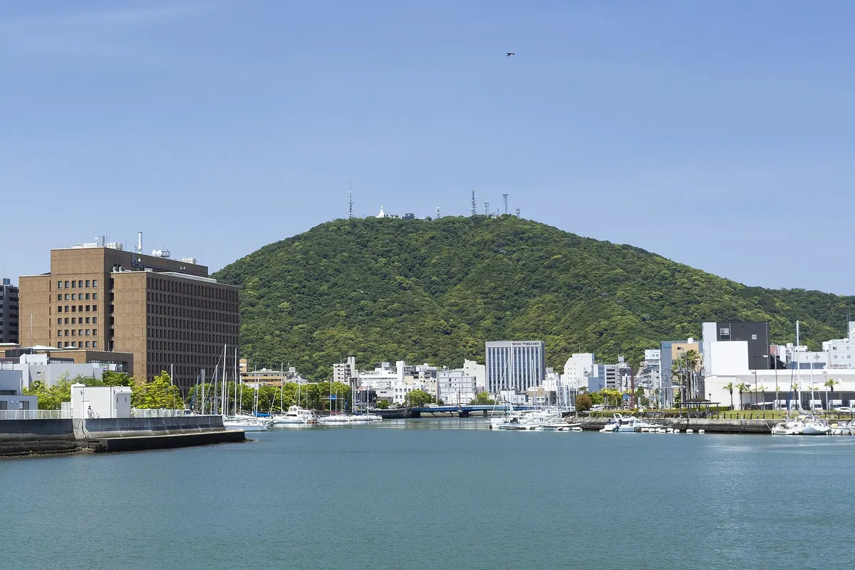
A 290-meter peak in Tokushima City offering panoramic views, a war memorial pagoda, and seasonal festivals accessible by ropeway.
What it is
- A 290-meter mountain designated as Bizan Park in Tokushima City.
- A historic site mentioned in the ancient Man'yoshu poetry anthology.
- One of the Tokushima 88 Views and a setting for a 2007 film.
- A public park featuring broadcasting stations and a war memorial.
What to see
- A Burmese-style pagoda built at the summit as a war memorial.
- Panoramic views of the surrounding city and landscape from the peak.
- Broadcasting stations for NHK and Shikoku Broadcasting located at the top.
When to go
- Springtime to see the famous cherry blossoms in bloom.
- Autumn for the Machi Asobi event held at the summit.
Getting there
- Take a seven-minute ropeway ride from the base station to the summit.
- Access the top via a dedicated driveway for those traveling by car.
03
Shiroyama
TOKUSHIMA · PLACE 城山
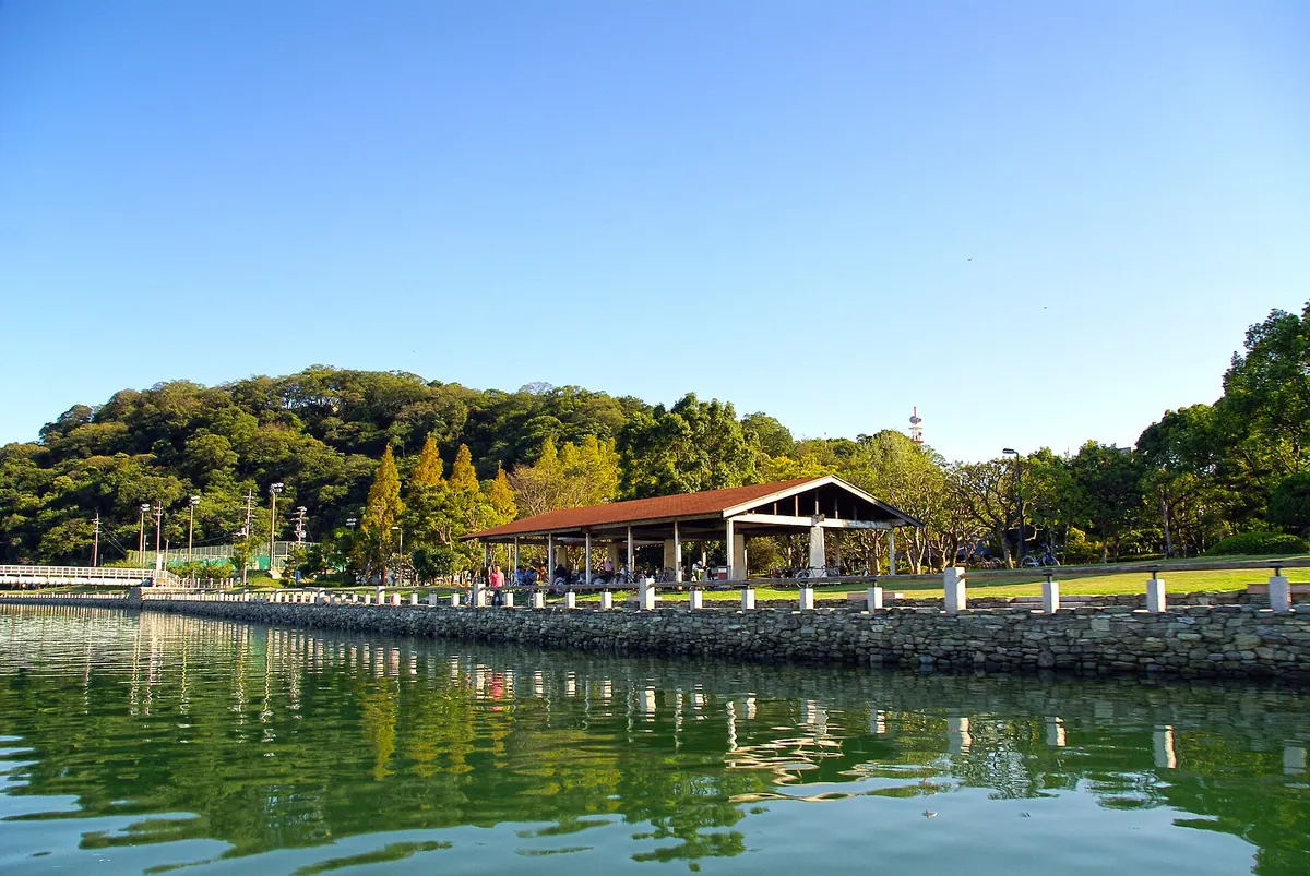
A historic 61.7-meter mountain in Tokushima Central Park featuring ancient shell mounds, castle ruins, and a protected primeval forest.
What it is
- A 61.7-meter mountain located within the grounds of Tokushima Central Park.
- The former site of Tokushima Castle, originally established as Iyama Castle in 1385.
- A designated natural monument containing a primeval forest with 600 plant species.
- A geological site composed of crystalline schist from the Sambagawa metamorphic belt.
What to see
- Remaining stone walls and castle ruins scattered across the mountain slopes.
- The Shiroyama Shell Mound from the Jomon period located at the mountain base.
- Sea erosion marks on the eastern foot dating back to the Jomon period.
- Large Elaeocarpus sylvestris trees within the protected primeval forest area.
- Three main hiking trails that lead visitors to the mountain summit.
- The Tokushima City water distribution reservoir situated on the mountain.
04
Asahiga Maru
TOKUSHIMA · PLACE 旭ヶ丸
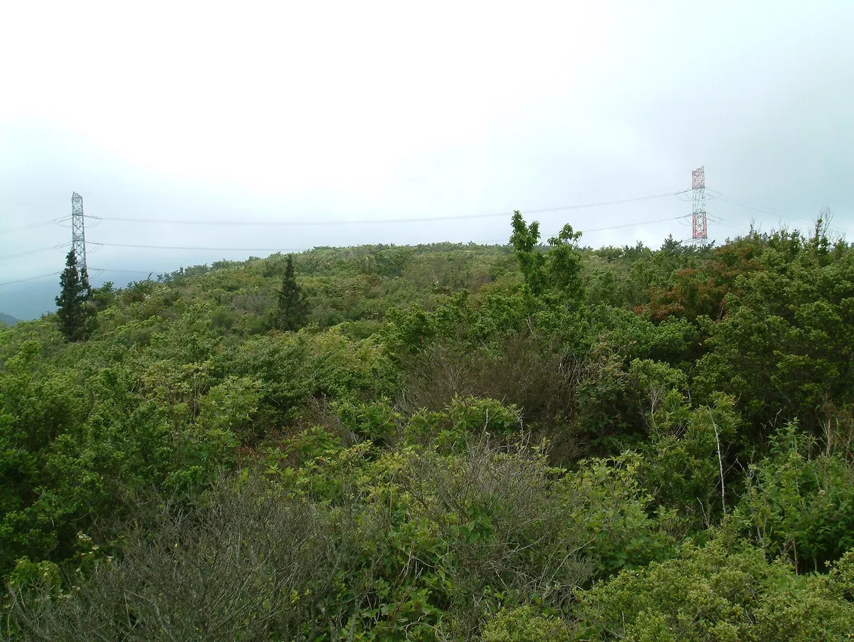
A 1,019-meter peak in the Shikoku Mountains featuring a wind farm, vast hydrangea fields, and a scenic plateau for grazing cattle.
What it is
- A 1,019.5-meter mountain located within the Shikoku Mountains range.
- One of the 100 Famous Mountains of Shikoku with a first-class triangulation point.
- A natural site featuring the Okawara Plateau and the source of the Sonose River.
- A landscape hosting a large-scale wind farm that has operated since 2009.
What to see
- Tens of thousands of planted hydrangeas blooming across the mountain slopes.
- Large wind turbines situated on the gentle slopes of the Okawara Plateau.
- Cattle grazing on the open grasslands of the mountain plateau.
- An observation deck located along the walking path toward the summit.
- Jigenji Temple and Kanjogataki Falls situated on the southern slope.
- Panoramic views from the summit reached by a thirty-minute walk from the parking lot.
05
Mount Yatsura
TOKUSHIMA · PLACE 八面山
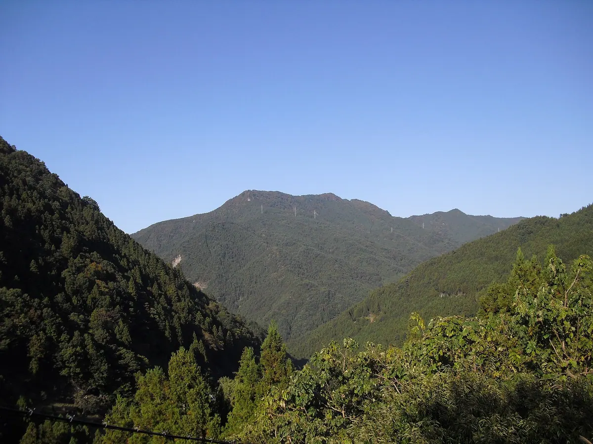
A 1,312-meter peak in the Tsurugi Mountains offering panoramic views and a historic shrine dedicated to Onamuchi-no-Mikoto.
What it is
- A 1,312-meter mountain located on the border of Mima and Tsurugi.
- One of the Shikoku 100 Famous Mountains in the northern Tsurugi range.
- The site of Hachimen Shrine which enshrines the deity Onamuchi-no-Mikoto.
- A geological site composed primarily of pelitic schist with steep southern cliffs.
What to see
- Unobstructed views in all four directions from the mountain summit.
- A second-class triangulation point located at the highest peak.
- Hachimen Shrine situated near the top of the mountain.
- A natural forest of fir and deciduous trees remaining at the summit.
- Steep cliffs on the southern slope formed by ancient landslides.
When to go
- Late July to attend the summer festival held at the shrine.
06
Mount Myōjin
TOKUSHIMA · PLACE 明神山
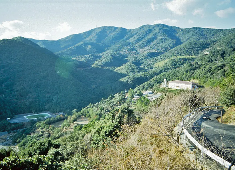
A 441-meter peak offering panoramic views of the Pacific Ocean, Cape Kamoda, and distant mountains from its summit.
What it is
- A mountain standing 441.6 meters tall between Anan City and Minami Town.
- A peak featured in the book Shikoku Hyakuzan for its significance.
- A summit marked by a first-class triangulation point and radio towers.
What to see
- Panoramic views of the Pacific Ocean stretching to the south.
- Cape Kamoda visible looking toward the eastern horizon.
- Tachibana Bay located directly to the north of the peak.
- Mount Tsurugi visible to the west during clear weather conditions.
- Old villa developments scattered around the surrounding mountain area.
Getting there
- Follow a three-kilometer paved road leading directly to the summit.
- Access the mountain road starting from Izari Pass on Prefectural Road 26.
07
Mount Eboshi
TOKUSHIMA · PLACE 烏帽子山
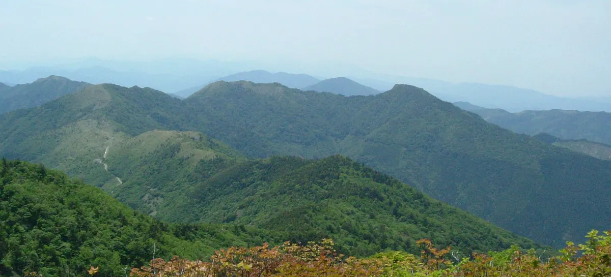
A 1,670-meter peak in Tokushima's Tsurugi Mountains offering scenic ridge walks through bamboo grass fields and ancient beech forests.
What it is
- A 1,670-meter mountain located in the Tsurugi Mountains of Tokushima Prefecture
- One of the 100 Famous Mountains of Shikoku situated in Miyoshi City
- Part of the Yahazu-Eboshi Scenic Forest featuring beech and oak trees
- A geological site belonging to the Sambagawa metamorphic belt with schist formations
What to see
- A third-class triangulation point located at the 1,670-meter summit
- Expansive bamboo grass fields and shrubs covering the peak area
- Natural forests of beech and oak growing above the mountainside
- A mountain ridge connecting the summit to Ochiai Pass
- Exposed siliceous schist and mafic schist rocks at the top
Getting there
- The main climbing route starts from Ochiai Pass
08
Mount Benten
TOKUSHIMA · PLACE 弁天山
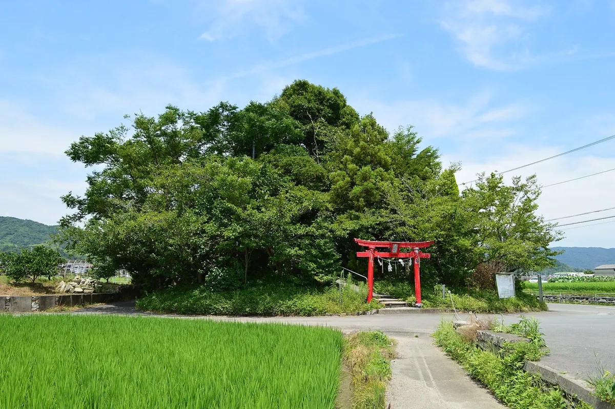
The lowest natural mountain in Japan features a summit shrine and offers visitors official climbing certificates for a minimal ascent.
What it is
- The lowest natural mountain in Japan at an elevation of 6.1 meters.
- A designated Tokushima City Citizen's Heritage site that was once an island.
- Home to Itsukushima Shrine dedicated to the deity Ichikishimahime-no-mikoto.
- A popular destination attracting approximately ten thousand visitors every year.
What to see
- A traditional torii gate standing at the base of the mountain.
- Itsukushima Shrine located at the very summit of the peak.
- Official summit certificates and amulets available for purchase at the top.
When to go
- The annual mountain opening ceremony takes place on June 1st.
Getting there
- A ten minute walk from Jizobashi Station in Tokushima City.
09
Mount Jirōgyū
TOKUSHIMA · PLACE 次郎笈
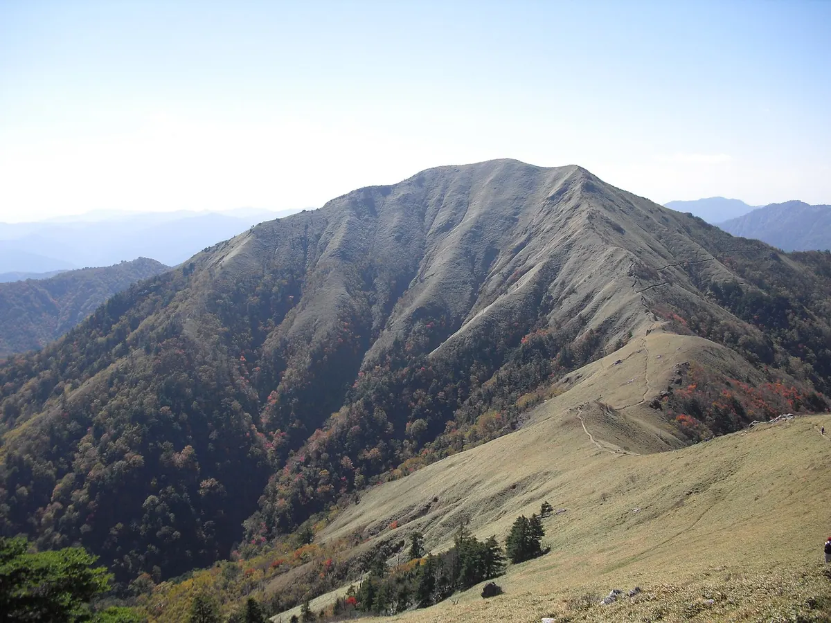
A 1,930-meter peak in the Tsurugi Mountains offering scenic views and bamboo-covered slopes within a Quasi-National Park.
What it is
- The second highest peak in Tokushima Prefecture and third highest in Shikoku.
- A mountain standing 1,930 meters above sea level in the Tsurugi range.
- Part of the Tsurugi-san Quasi-National Park bordering Miyoshi City and Naka Town.
- Designated as one of the 100 Famous Shikoku Mountains.
What to see
- A summit area covered in bamboo grass and kometutsuji shrubs.
- A fourth-class triangulation point located at the mountain peak.
- Views of the surrounding Jurassic accretionary complex geological formations.
- The neighboring Mount Tsurugi situated approximately 1.5 kilometers to the northeast.
Getting there
- Access to the area is available via the Tsurugi-san Super Forest Road.
10
Senbagatake
TOKUSHIMA · PLACE 千羽ヶ岳
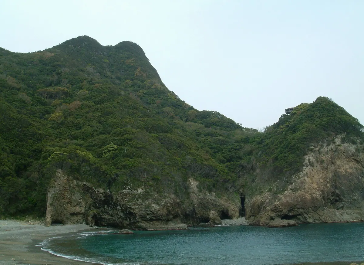
A 245-meter peak and observation deck offering views of the massive Senba Sea Cliffs within a coastal quasi-national park.
What it is
- The highest point on the Senba Sea Cliffs promenade at 245.3 meters elevation.
- Part of the Muroto Anan Kaigan Quasi National Park in Tokushima Prefecture.
- One of the top 100 mountains in Shikoku.
- A scenic viewpoint overlooking sea cliffs that range from 50 to 250 meters high.
What to see
- An observation deck located at the mountain summit.
- Coastal views of sea cliffs spanning several kilometers along the Pacific Ocean.
- A hiking promenade that connects the mountain to Hiwasa Castle.
Getting there
- A hiking trail leads from the Senba Tunnel north entrance to the summit in under one hour.
- The promenade from Hiwasa Castle reaches the mountain in over three hours.
11
Mount Kanpou
TOKUSHIMA · PLACE 寒峰
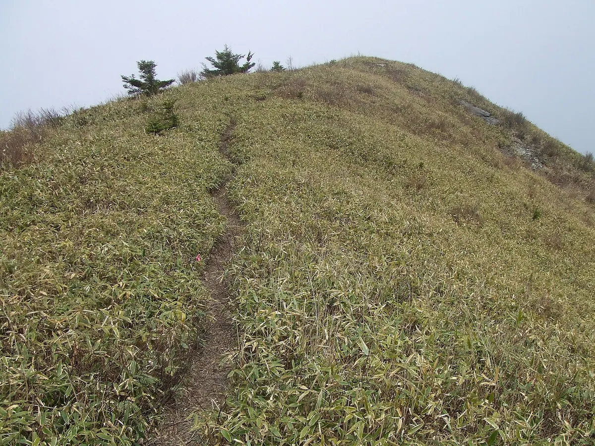
A 1605-meter peak in the Tsurugi Mountains offering gentle bamboo grass fields and historical Heike clan legends.
What it is
- A 1605-meter peak located in the Tsurugi Mountains of Tokushima Prefecture.
- One of the 100 Famous Mountains in Shikoku.
- A site associated with local legends of Heike clan refugees.
- A mountain featuring unique geology from the Sambagawa metamorphic belt.
What to see
- A gentle field of bamboo grass covering the mountain top.
- A second-class triangulation point located at the summit.
- Steep southern slopes covered in cedar plantations.
- Exposed formations of pelitic schist and siliceous schist.
- Renovated hiking trails originally updated for the 1993 National Sports Festival.
When to go
- Visit in March to see Amur adonis flowers blooming on the southern slopes.
12
Mount Ishidate
TOKUSHIMA · PLACE 石立山
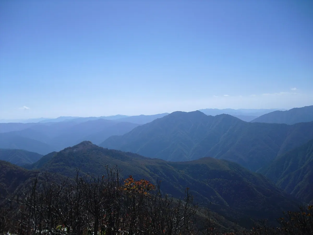
A 1,707-meter peak on the Tokushima-Kochi border offering limestone landscapes, a summit shrine, and views of Tosa Bay.
What it is
- A 1,707-meter mountain located within the Tsurugisan Quasi-National Park.
- One of Shikoku's 100 Famous Mountains situated on the Tokushima and Kochi border.
- The site of Ishidate Shrine, which enshrines Oyamatsumi-no-Mikoto and En no Gyoja.
What to see
- Ishidate Shrine located at the very top of the mountain summit.
- Natural limestone formations and many Erman's birch trees near the peak.
- Panoramic views of Tosa Bay and Mount Tsurugi from the summit area.
Getting there
- A trailhead is accessible from the Befu Gorge parking lot.
- A secondary climbing route starts from the Hiwada settlement.
- One-way hiking routes to the summit take over five hours to complete.
13
Mount Kumosa
TOKUSHIMA · PLACE 雲早山
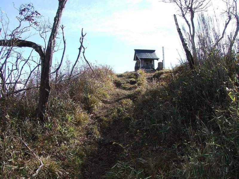
A 1,496-meter peak in Tokushima featuring a rainmaking shrine and protected beech forests within a designated scenic area.
What it is
- A 1,496-meter mountain located within the Tsurugi Mountains of Tokushima Prefecture.
- One of the Katsuura Sanzan mountains and listed among Shikoku's 100 famous mountains.
- A watershed for three river systems with 104 hectares designated as a scenic forest.
- Home to a small summit shrine dedicated to a god of rainmaking.
What to see
- Kumosa Shrine located at the highest point of the mountain.
- Natural forests of beech and oak trees preserved on the upper slopes.
- A second-class triangulation point marking the summit.
- Views from the peak situated 19 kilometers east of Mount Tsurugi.
Getting there
- Access the trailhead via the Tsurugi-san Super Forest Road.
14
Mount Ōasa
TOKUSHIMA · PLACE 大麻山
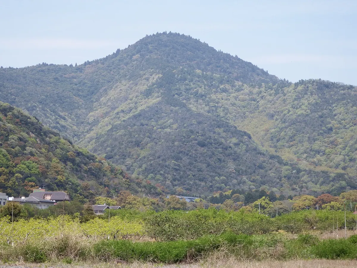
The highest peak in Naruto City, featuring a historic shrine sanctuary and designated natural parkland within the Sanuki Mountain Range.
What it is
- The highest peak in Naruto City standing at 538 meters above sea level.
- A designated prefectural natural park and one of the Shikoku 100 Famous Mountains.
- The site of Mine Shrine, which serves as the inner sanctuary for Oasahiko Shrine.
- A mountain named after the historical cultivation of hemp in the surrounding region.
What to see
- Mine Shrine located at the summit of the mountain.
- Oasahiko Shrine situated at the southern foot of the peak.
- A 27-meter-tall cedar tree designated as a city natural monument.
- Geological formations of sandstone and mudstone from the Late Cretaceous period.
- Ryuzenji Temple located approximately one kilometer south of the mountain.
15
Mount Tōgū
TOKUSHIMA · PLACE 東宮山
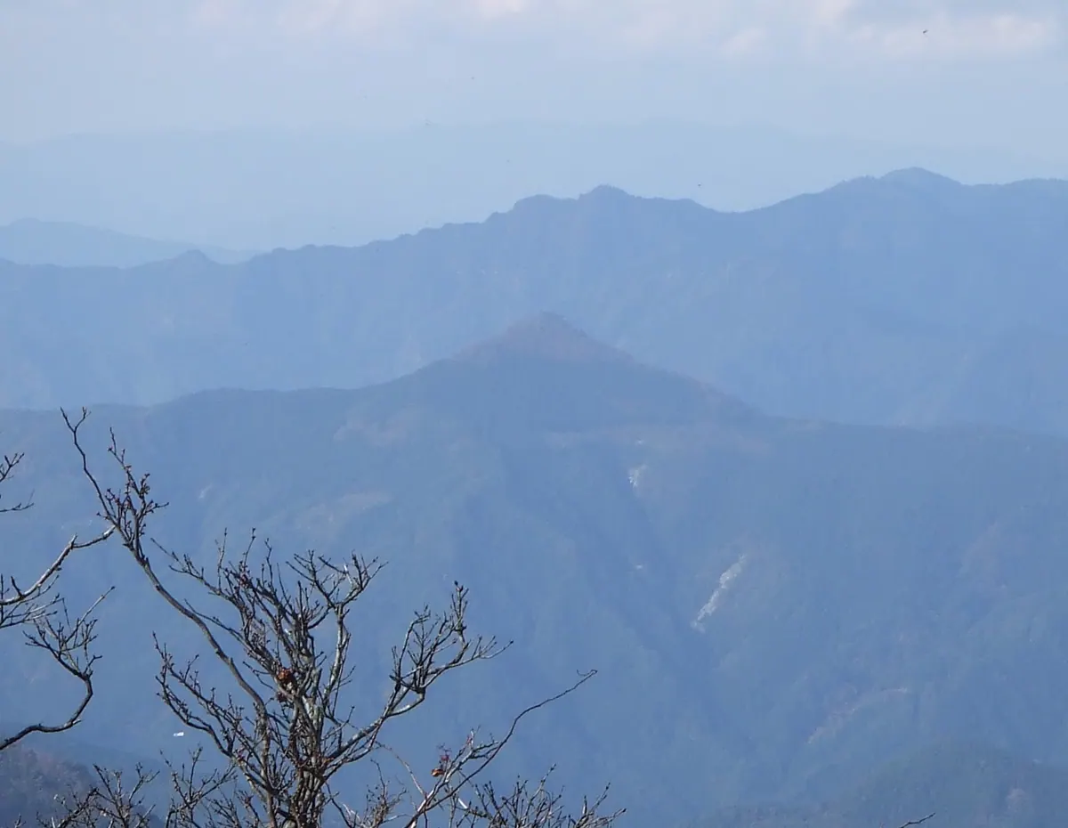
A 1,090-meter peak on the Shikoku 100 list featuring ancient shrines, beech forests, and legends of Emperor Antoku.
What it is
- A 1090.5-meter mountain located on the border of Mima City and Kamiyama Town.
- One of the Shikoku 100 Famous Mountains situated on a major river watershed.
- A site of local legend linked to the historical figure Emperor Antoku.
- The summit area is composed of mafic schist and Sanbagawa metamorphic rocks.
What to see
- Tōgū Shrine and Shungū Shrine located directly at the mountain summit.
- Natural forests of beech and oak trees remaining near the peak.
- Weeping cherry trees growing at the Kawai Pass trailhead area.
- A second-class triangulation point named Harumiyayama at the highest point.
- Amagyo Peak situated 1.2 kilometers southwest of the main summit.
16
Mount Nakatsumine
TOKUSHIMA · PLACE 中津峰山
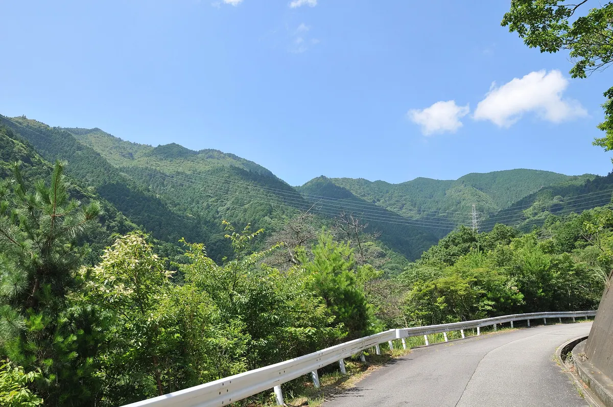
A 773-meter peak featuring historic shrines, temples, and panoramic views of the Kii Channel and Awaji Island.
What it is
- A 773-meter peak on the Tokushima city border and one of Shikoku's Hundred Famous Mountains
- Part of the Awa Sanpo trio and a former hunting ground for the Tokushima Domain
- A mountain featuring Amatsu Shrine at the summit and Nyoirinji Temple on the slope
- The area between the peak and Barao Pass serves as a forest park
What to see
- Summit views overlooking the Kii Channel and Awaji Island
- Nyoirin Kannon statue at Nyoirinji Temple, a National Important Cultural Property
- Stone walls and a protective windbreak located at the mountain summit
- Hoshi no Iwaya site situated on the southern slope
- Hata Five Waterfalls located on the northern slope of Barao Pass
17
Mount Shiozuka
TOKUSHIMA · PLACE 塩塚峰
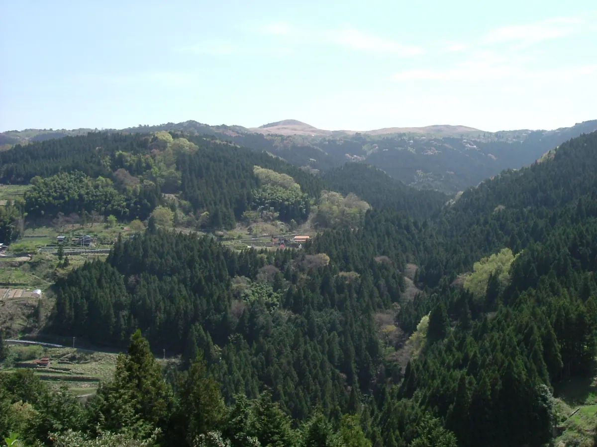
A 1,043-meter peak on the Tokushima-Ehime border offering expansive pampas grasslands and panoramic views of the Ishizuchi range.
What it is
- A 1,043-meter mountain located within the eastern Ishizuchi mountain range.
- One of the 100 famous mountains on the island of Shikoku.
- A geological tectonic window belonging to the Sambagawa metamorphic belt.
- A former source for harvesting traditional thatched roofing materials.
What to see
- The Shiozuka Highlands plateau featuring vast pampas grasslands.
- A second-class triangulation point marking the mountain summit.
- Paragliders launching from the open slopes near the peak.
- Campgrounds situated on both the eastern and western mountain slopes.
When to go
- The annual controlled burning season held to maintain the grasslands.
18
Mount Tsurugi
TOKUSHIMA · PLACE 剣山
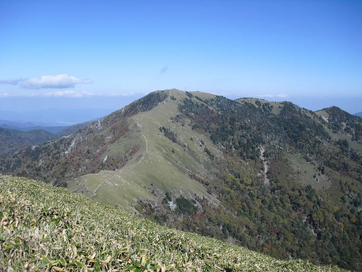
The second highest peak in western Japan, offering historic mountain worship sites and scenic plateau views via a convenient chairlift.
What it is
- A 1,955-meter peak serving as a symbol of Tokushima Prefecture.
- The second highest mountain in western Japan and part of a Quasi-National Park.
- A historic site for Shugendo mountain worship and one of Japan's 100 Famous Mountains.
- The natural source of the Iya River featuring a first-class triangulation point.
What to see
- A summit plateau area known as Heike-no-Baba.
- The remains of a weather station that operated until 2001.
- A chairlift system connecting Mino-koshi to Nishijima Station.
- Expansive views from the second highest point in the region.
When to go
- Late July to see Kirenge-shoma flowers blooming on the slopes.
- Official site
- www.turugisan.com
19
Mount Kōtsu
TOKUSHIMA · PLACE 高越山
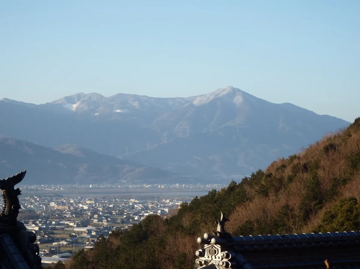
A 1,133-meter peak nicknamed Awa Fuji, featuring a 7th-century Shugendo temple and a national natural monument azalea colony.
What it is
- A 1,133-meter mountain selected as one of the Shikoku 100 Famous Mountains
- Home to Kotsu-ji Temple, founded by En no Gyoja in the 7th century
- A historic center for Shugendo mountain asceticism located in Yoshinogawa City
- Nicknamed Awa Fuji due to its distinct volcanic shape
What to see
- Kotsu-ji Temple located at the summit of the mountain
- A three-hectare colony of On-tsutsuji azaleas on the southern slope
- Rare eclogite metamorphic rocks found on the eastern foothills
- A first-class triangulation point set at 1,121.91 meters
When to go
- Visit during the blooming season of the national natural monument azalea colony
20
Mount Ichinomori
TOKUSHIMA · PLACE 一ノ森
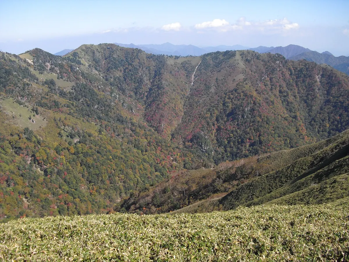
A 1,880-meter peak in the Tsurugi Mountains offering historic shrines, mountain huts, and ancient Jurassic rock formations for hikers.
What it is
- The fourth highest peak in Tokushima Prefecture at 1,880 meters high.
- One of the Shikoku 100 Famous Mountains located within a Quasi-National Park.
- A mountain historically known as Ko-Tsurugisan on the border of Mima and Naka.
- A summit area characterized by chert rock dating back to the Jurassic period.
What to see
- Ichinomori Shrine and a mountain hut located at the summit.
- Natural forests consisting of Shikoku fir and beech trees on the slopes.
- A third-class triangulation point installed at the top of the peak.
- A monument near the ridge commemorating a 1965 avalanche victim.
- Views of Mount Tsurugi located 1.5 kilometers to the west.