

20 Mountains in Yamanashi worth your time
Japan Gems
73 Mountains in Yamanashi, with what to see and how to get there.
Yamanashi has 73 mountains on Japan Gems. Below are the 20 we can tell you the most about — each one written up in English from Japanese sources, with what to see and how to get there. See all mountains in Yamanashi.
01
Mount Minobu
YAMANASHI · PLACE 身延山

A sacred mountain in Yamanashi featuring the head temple of Nichiren Buddhism and a ropeway with views of Mount Fuji.
What it is
- The site of Kuon-ji, the head temple of the Nichiren sect founded in 1274.
- A mountain in Yamanashi Prefecture with an elevation of 1,153 meters.
- A spiritual location where Nichiren Shonin settled during the thirteenth century.
- A natural habitat for Japanese serows and Asiatic black bears.
What to see
- The Okunoin Shishinkaku temple building located at the mountain summit.
- Television and FM radio relay stations situated at the peak.
- Views of Diamond Fuji where the sun aligns with the mountain top.
- The ropeway featuring the highest elevation gain in the Kanto region.
When to go
- Mid-March to witness the Diamond Fuji solar phenomenon.
- Early October for the second annual occurrence of Diamond Fuji.
Getting there
- A seven-minute ropeway ride connects the temple grounds to the summit.
- A hiking trail from Kuon-ji to the top takes approximately 2.5 hours.
02
Mount Zaru
YAMANASHI · PLACE 笊ヶ岳
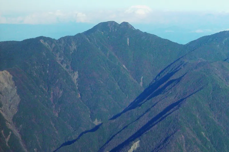
A 2,629-meter peak in the Akaishi Mountains offering a challenging wilderness climb for experienced hikers seeking solitude.
What it is
- A 2,629-meter mountain spanning the border of Yamanashi and Shizuoka prefectures.
- One of Japan's 200 Famous Mountains located within the Southern Alps range.
- A rugged peak featuring two distinct summits known as Ozaru and Kozaru.
- A remote destination first officially climbed by Seitaro Nakamura in 1911.
What to see
- Views of the surrounding high peaks including Mount Akaishi and Mount Hijiri.
- Rivers originating from the mountain slopes that flow toward the Pacific Ocean.
- The twin peaks of Ozaru and Kozaru at the mountain summit.
- Unspoiled wilderness areas with no mountain huts or developed facilities.
Getting there
- Access the mountain through trailheads located at Oidaira, Sawarajima, or Nikengoya.
- Expect a nine-hour ascent when starting the climb from the Oidaira trailhead.
- Prepare for a level D difficulty rating as designated by local prefectural authorities.
03
Mount Shichimen
YAMANASHI · PLACE 七面山
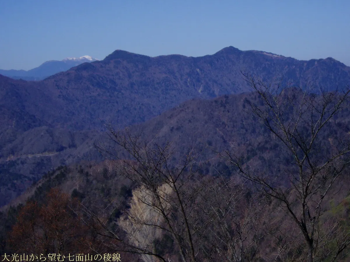
A sacred 1,989-meter peak in Yamanashi offering a spiritual climb to a mountain temple with views of Mount Fuji.
What it is
- A sacred mountain standing at 1,989 meters in the Minami-koma District of Yamanashi.
- One of Japan's 200 Famous Mountains enshrining the deity Shichimen Daimyojin.
- A religious site opened by Nichiro, who was a disciple of the monk Nichiren.
- The summit area serves as a mountain enclave belonging to Minobu Town.
What to see
- Keishin-in temple located near the summit at an elevation of 1,700 meters.
- Several mountain ponds including the one known as Ichi-no-ike.
- A large landslide area visible on the southeast side of the mountain.
- Views of the sunrise over Mount Fuji from the high elevations.
When to go
- Visit during the spring or autumn equinoxes to see the sunrise over Mount Fuji.
Getting there
- Start the ascent at the Hagoromo Bridge trailhead over the Haruki River.
- Allow four to five hours for the hike up via the front approach.
04
Myōjinyama
YAMANASHI · PLACE 鉄砲木ノ頭
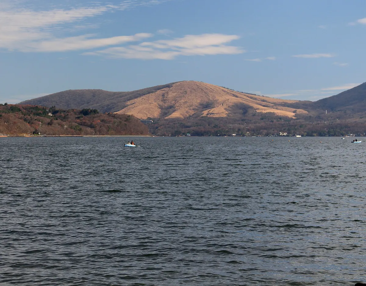
A 1,291-meter peak in the Tanzawa Mountains offering panoramic views of Mount Fuji and Lake Yamanaka from its summit shrine.
What it is
- A 1,291-meter mountain peak located on the border of Kanagawa and Yamanashi prefectures.
- The site of Yamanaka Suwa Shrine which is situated directly at the summit.
- A mountain in the westernmost part of the Tanzawa range also known as Myojinyama.
- A hiking destination featuring a third-class triangulation point at the top.
What to see
- Expansive views of Mount Fuji and Lake Yamanaka from the summit area.
- The Yamanaka Suwa Shrine buildings located at the highest point of the mountain.
- Hiking trails that connect the peak to Mikuni Pass and Panorama-dai.
- A third-class triangulation point marker installed at the mountain top.
Getting there
- Take a 50-minute bus ride from Fujisan Station to reach the trailhead area.
- Start the hike from Panorama-dai or Mikuni Pass for a 300-meter elevation gain.
- Access the western foot of the mountain via National Route 413.
05
Mount Amari
YAMANASHI · PLACE 甘利山

A 1,731-meter peak in Yamanashi offering high-altitude moors and famous azalea colonies accessible by a short walk from the road.
What it is
- A 1,731-meter mountain included on the Yamanashi 100 Famous Mountains list
- Historically used as communal land for local villages in Nirasaki and Minami-Alps
- Site of a former ski resort and a high-altitude moor called Sawarai Pond
- A location associated with local legends of giant snakes and rain-making rituals
What to see
- Large colonies of Japanese azaleas blooming across the mountain slopes
- Sawarai Pond, a high-altitude moor located at 1,230 meters
- A stone monument dedicated to Iwao Yamadera at the former ski site
- Panoramic views from the summit reached via a short hiking trail
When to go
- Visit in June to see the Japanese azalea colonies in full bloom
Getting there
- Drive Yamanashi Prefectural Route 613 to the parking lot at the road terminus
- Walk 15 minutes from the free prefectural parking area to reach the summit
06
Mount Daibosatsu
YAMANASHI · PLACE 大菩薩嶺

A 2,057-meter peak in Yamanashi featured in the 100 Famous Japanese Mountains, offering scenic hiking and historic mountain passes.
What it is
- A 2,057-meter peak located within the Okuchichibu Mountains of Yamanashi Prefecture.
- One of the 100 Famous Japanese Mountains according to author Kyuya Fukada.
- A natural watershed for the Tama and Fuefuki river systems.
- A site named after a legend involving the warrior Minamoto no Yoshimitsu.
What to see
- The Daibosatsu Pass located two kilometers south of the mountain summit.
- Four mountain huts including Kaizanso that offer lodging for hikers.
- Vibrant autumn foliage that covers the mountain slopes in late October.
When to go
- Mid to late October to see the peak of the autumn leaves.
Getting there
- A four-hour hike to the summit starting from the Kamihikawa Pass trailhead.
- Seasonal buses and taxis provide transport to the main trailhead area.
- Free parking is available for visitors at the Kamihikawa Pass lot.
07
Mount Ushiokunogangaharasuri
YAMANASHI · PLACE 牛奥ノ雁ヶ腹摺山

This 1,990-meter peak holds the record for Japan's longest mountain name and offers one of the best views of Mount Fuji.
What it is
- A 1,990-meter mountain bordering Otsuki City and Koshu City in Yamanashi Prefecture.
- Recognized as the mountain with the longest name in all of Japan.
- Part of the Koganezawarane mountain range located south of Mount Daibosatsu.
- The name originates from the local Ushiuoku district and migrating geese.
What to see
- A summit recognized as one of the Twelve Views of Mount Fuji.
- Panorama Rock providing views of the Kofu Basin and Southern Alps.
- Hiking trails passing through the scenic Daibosatsu Pass and Ishimaru Pass.
Getting there
- A hiking trail from the Suzuran Insect Museum takes two hours and thirty minutes.
- The route from Ishimaru Pass entrance takes three hours to reach the summit.
- A trail from Mount Kurodake reaches the peak in one hour and ten minutes.
- Access is available via a route from Kamihikawa Pass through Daibosatsu Pass.
08
Yashajin Pass
YAMANASHI · PLACE 夜叉神峠
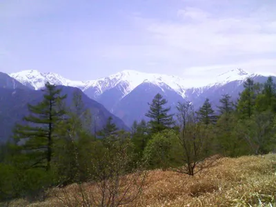
A mountain pass in Minami Alps National Park offering panoramic views of the Shirane Sanzan peaks from 1,770 meters.
What it is
- A mountain pass located at an elevation of 1,770 meters in Yamanashi Prefecture
- Part of the Minami Alps National Park area
- A scenic viewpoint overlooking the three peaks of the Shirane Sanzan mountains
What to see
- Panoramic views of the Shirane Sanzan mountain range
- The Yashajin Pass Hut located directly at the pass
- Takaya Mountain Observatory situated 700 meters from the pass
- The trailhead entrance featuring the Yashajin Hut and a parking lot
When to go
- Buses operate to the area from late June to early November
Getting there
- Buses run from Kofu Station to the trailhead during the hiking season
- The hike from the trailhead bus stop to the pass takes about one hour
- Private cars are restricted beyond the trailhead entrance parking lot
09
Mount Kokushi
YAMANASHI · PLACE 国師岳
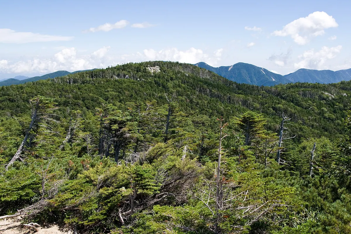
A 2,592-meter peak in the Okuchichibu Mountains offering accessible hiking trails and scenic observation decks for nature enthusiasts.
What it is
- A 2,592-meter mountain peak bordering Yamanashi City and Kawakami Village.
- Part of the Okuchichibu Mountains also known as Kokushigatake.
- Named after the monk Muso Soseki with a triangulation point at the summit.
- A high-altitude destination accessible via relatively easy climbing routes.
What to see
- The Yume no Teien observation deck located along the mountain trail.
- A first-class triangulation point marking the summit at 2,592 meters.
- The nearby Maekokushi peak situated along the hiking path.
- Views of the adjacent Kitaokusenjo Peak from the mountain area.
- The Omaboroshi Hut located in the vicinity of the climbing routes.
Getting there
- The easiest climbing route begins from the Omaboroshi Pass.
- Accessible via a mountain trail connecting from Mount Kobushi.
10
Mount Mitō
YAMANASHI · PLACE 三頭山
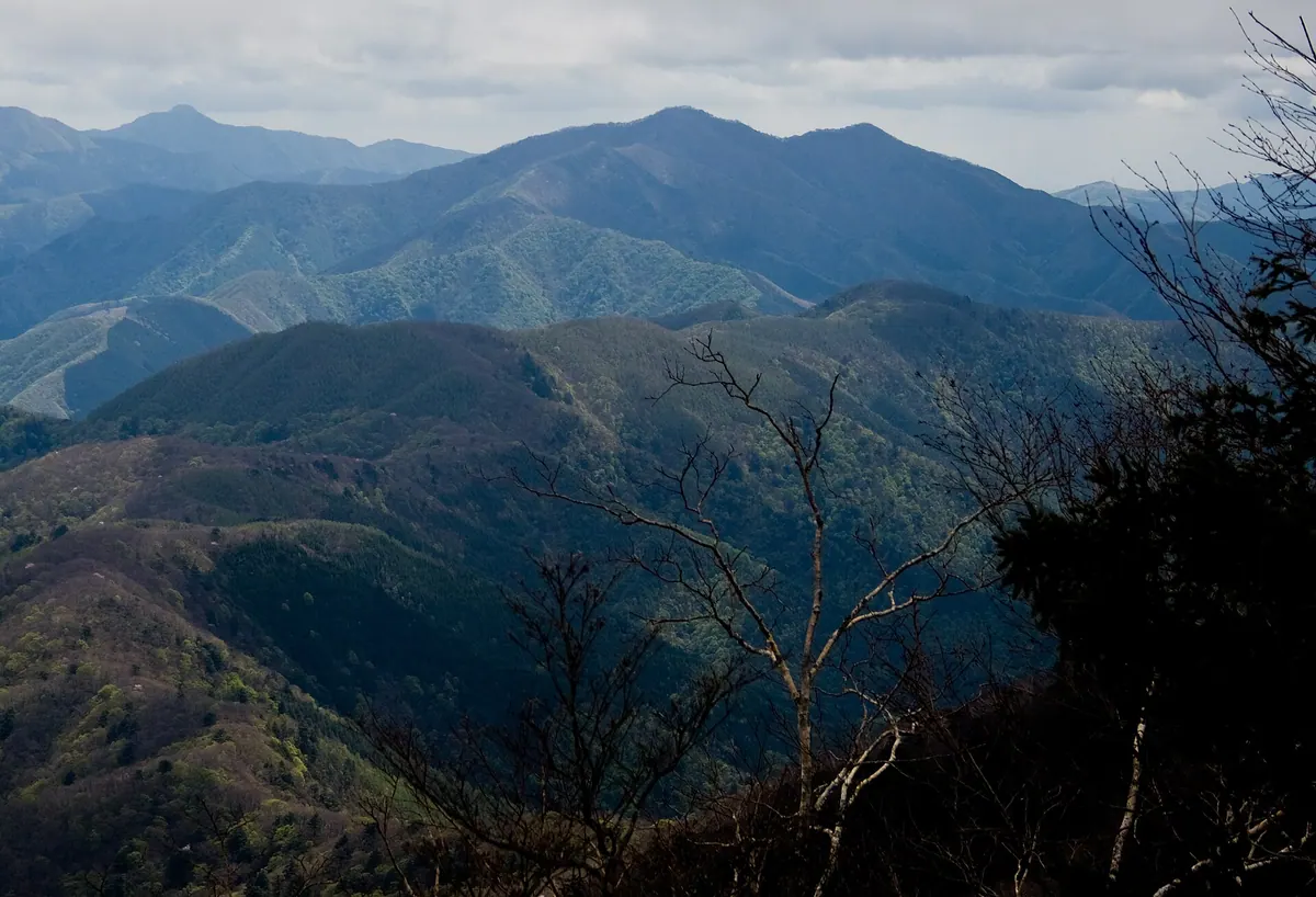
The highest of the Okutama Three Mountains, offering ancient beech forests and panoramic views of Mount Fuji from its triple peaks.
What it is
- A 1,531-meter mountain spanning Tokyo, Yamanashi Prefecture, and Kosuge Village.
- The highest peak of the Okutama Three Mountains and source of the Aki River.
- A destination featuring three distinct peaks named West, Central, and East.
- One of the 300 Famous Japanese Mountains known for its natural beech forests.
What to see
- Expansive views of Mount Fuji and the Okuchichibu Mountains from the summit.
- Ancient natural beech forests preserved around the mountain top.
- The Hinohara Tokyo Citizens Forest developed on the eastern slopes.
- A mountain rescue hut and an observation deck for visitors.
- Geological formations of quartz diorite visible from the eighth station downwards.
Getting there
- Accessible via buses departing from Musashi-Itsukaichi Station.
11
Mount Ōkuratakamaru
YAMANASHI · PLACE 大蔵高丸

A 1,781-meter peak in Yamanashi offering one of the twelve best views of Mount Fuji from its summit.
What it is
- A 1,781-meter peak located between Otsuki and Koshu in Yamanashi Prefecture.
- One of the Yamanashi 100 Famous Mountains within the Koganezawararyo range.
- A designated location for one of the Twelve Views of Mount Fuji.
- The name refers to a high mountain situated above Okurazawa.
What to see
- Panoramic views of Mount Fuji from the mountain summit.
- Numerous seasonal flowers blooming between Yunosawa Pass and Hamaiba.
- Nearby peaks including Hamaiba and Ushioku-no-gangaharasuri Mountain.
Getting there
- The summit is a 30-minute walk from the Yunosawa Pass trailhead.
- Taxis are available from Kai-Yamato Station to reach the trailhead.
- A bus connects Otsuki Station to the Hamaiba bus stop.
- Parking space is available for those driving to Yunosawa Pass.
12
Mount Bunasawanoatama
YAMANASHI · PLACE ブナ沢ノ頭
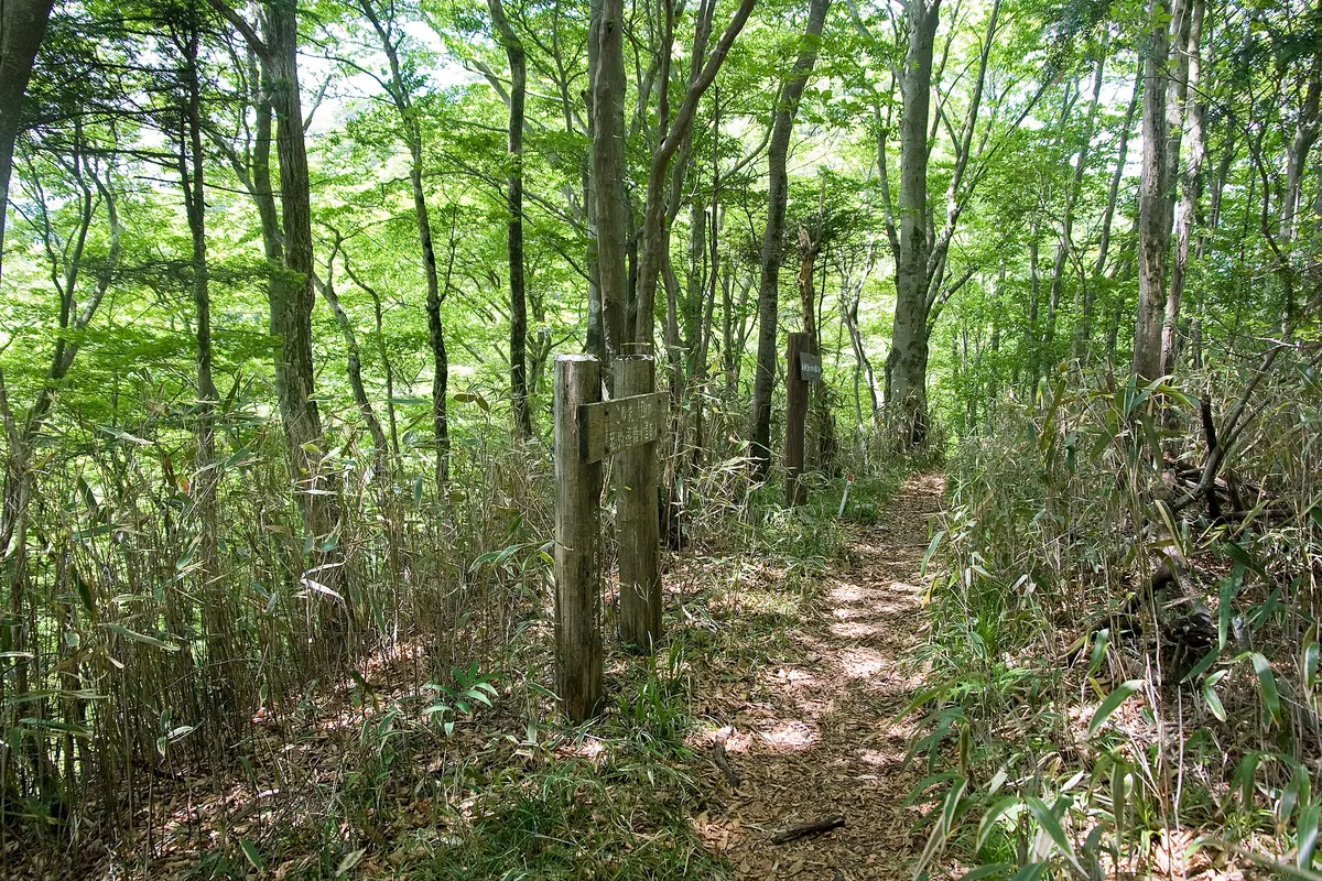
A 1,229-meter peak in the western Tanzawa Mountains offering a quiet beech forest experience on the Kanagawa and Yamanashi border.
What it is
- A mountain peak standing 1,229 meters above sea level in the western Tanzawa range.
- Part of the Koso Border Ridge on the boundary of Kanagawa and Yamanashi prefectures.
- The southern slopes are protected within the Tanzawa-Oyama Prefectural Natural Park.
- The name is derived from the nearby Buna Stream.
What to see
- A summit area densely covered with native beech trees.
- The Bunasawa Nokkoshi pass located 500 meters southwest of the peak.
- The Komotsuri Evacuation Hut which serves as the nearest mountain shelter.
- Unmanned mountain huts characteristic of the western Tanzawa wilderness area.
When to go
- Visit during winter to see views that are otherwise limited by foliage.
- The summit area provides shade under beech trees during the warmer months.
13
Mount Nokogiri
YAMANASHI · PLACE 鋸岳
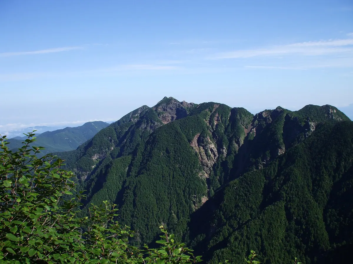
A rugged 2,685-meter peak in the Minami Alps known for its jagged shape and challenging technical rock climbing routes.
What it is
- A 2,685-meter peak located at the northern end of the Akaishi Mountains.
- One of Japan's designated top one hundred mountains within a national park protection zone.
- The natural source of the Fujigawa and Tenryugawa rivers.
- A quiet destination with significantly fewer climbers than the neighboring Mount Kaikoma.
What to see
- A distinctive steep and jagged summit ridge resembling the teeth of a saw.
- The Rokugo-me Ishimuro, an unmanned mountain shelter that accommodates ten people.
- Panoramic views of the surrounding Minami Alps National Park from the summit.
- Technical rock climbing terrain that requires specialized skills rather than general hiking trails.
Getting there
- The mountain is visible from the Minami Alps Forest Road bus route.
14
Mount Shaka (Fuefuki)
YAMANASHI · PLACE 釈迦ヶ岳 (笛吹市)
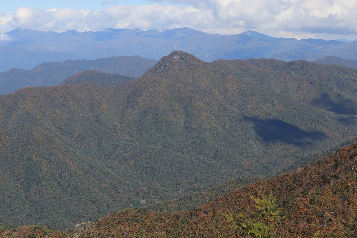
A 1,641-meter peak in the Misaka Range offering panoramic views of Mount Fuji and historic stone Buddha statues.
What it is
- A 1,641-meter mountain ranked among the Yamanashi 100 Famous Mountains.
- Part of the Misaka Mountain Range and a source for the Fuefuki River system.
- A spiritual site featuring two stone Buddha statues enshrined at the summit.
- Home to the Himine Shrine at the southwestern foot of the mountain.
What to see
- Panoramic views of Mount Fuji and the Yatsugatake Mountains from the summit.
- The Byobu-iwa cliff located on the south face of the peak.
- A rocky summit area equipped with a thick rope for climbers.
- The Himine Shrine Scops Owl Habitat, a designated prefectural natural monument.
Getting there
- Hiking trails are accessible from the Hyugazaka Pass trailhead.
- The mountain can be climbed via trails starting at Himine Shrine.
15
Mount Omuro
YAMANASHI · PLACE 大室山
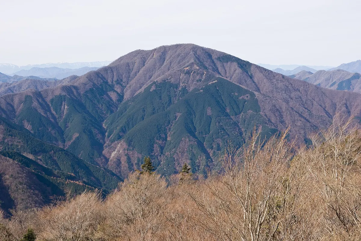
A 1,587-meter peak on the Yamanashi-Kanagawa border known for its ancient volcanic geology and lush broad-leaved forests.
What it is
- A 1,587-meter mountain located on the border of Yamanashi and Kanagawa prefectures.
- One of the 100 Famous Mountains of Yamanashi and part of Tanzawa-Oyama Quasi-National Park.
- A site of worship for the deity Omuro Gongen, formerly known as Mount Omure.
- Composed of Miocene green tuff formed by ancient submarine volcanoes.
What to see
- Dense deciduous broad-leaved forests including beech trees covering the summit area.
- Seasonal flora featuring azaleas and Fuji cherry blossoms.
- The Doshi Water Supply Forest managed by Yokohama City on the northern slope.
- A summit area that blocks views of Mount Fuji, earning it the nickname Fuji-kakushi.
Getting there
- Take a bus from Shin-Matsuda Station to the West Tanzawa Visitor Center.
16
Mount Yanbushi
YAMANASHI · PLACE 山伏
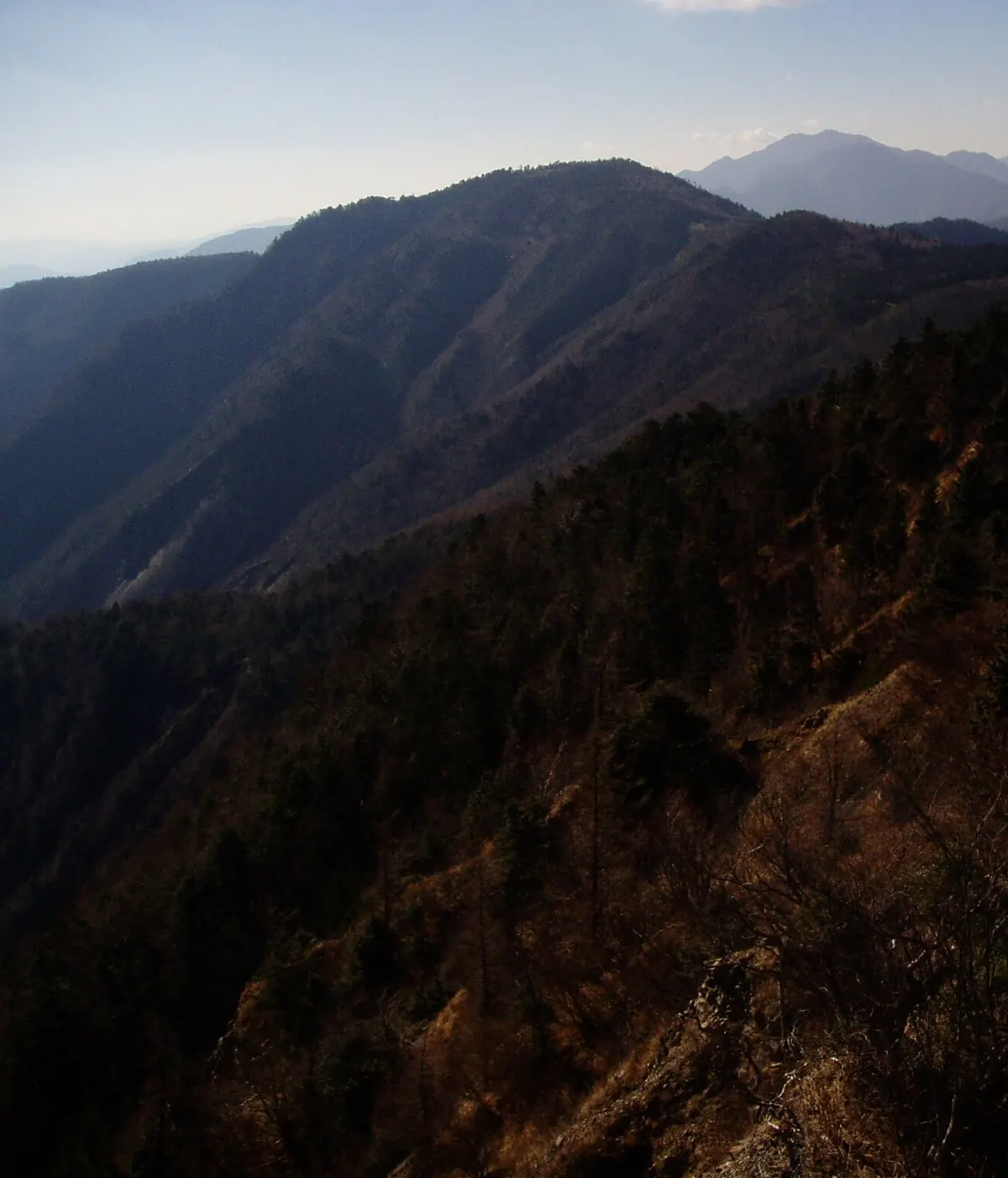
The highest peak in the Abe River basin, offering panoramic views of Mount Fuji and seasonal wildflowers from its summit.
What it is
- A 2013.2 meter mountain peak located between Hayakawa and Shizuoka City
- The highest point within the Abe River basin area
- Part of the Akaishi Mountains, also known locally as Mount Yanbushidake
- A hiking destination featuring an unmanned mountain hut south of the summit
What to see
- Clear views of Mount Fuji from the mountain peak
- Rosebay willowherb flowers growing naturally near the summit
- The Shizuoka City Yanbushi Hut located just south of the top
- Vast mountain landscapes belonging to the Akaishi range
Getting there
- Access the peak via the trail starting from Yanbushi Pass
- Climb from Nishihikagezawa by following the route through Yomogi Pass
- Alternative access points are available at Otanikuzure and Hyakujo Pass
17
Mount Momokura
YAMANASHI · PLACE 百蔵山

A 1,003-meter peak in Yamanashi offering famous views of Mount Fuji and connections to the Momotaro folk legend.
What it is
- A mountain standing 1003.4 meters tall in Otsuki City, Yamanashi Prefecture.
- One of the Yamanashi 100 Mountains and part of the Gunnai Three Mountains.
- A site officially designated as one of the Twelve Views of Mount Fuji.
- A location associated with local legends of the folk hero Momotaro.
What to see
- Panoramic views of Mount Fuji from the mountain summit.
- The Chuo Main Line railway bridge visible from the peak.
- Hiking trails connecting to Mount Ogiyama via Mount Okubo.
- The confluence of the Katsura and Kazuno rivers to the south.
Getting there
- Take the JR East railway to Saruhashi Station.
- Walk forty minutes from Saruhashi Station to reach the trailhead.
- Hike 110 minutes from the trailhead to reach the summit.
18
Mount Daizōkyōji
YAMANASHI · PLACE 大蔵経寺山
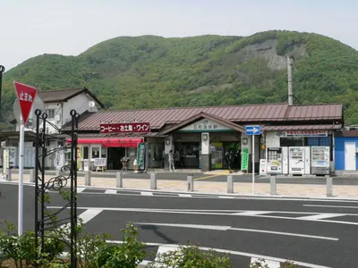
A 715-meter peak in Yamanashi offering panoramic views of Isawa-onsen and ancient burial mounds along its hiking trails.
What it is
- A 715.6-meter peak located on the border of Kofu and Fuefuki cities.
- One of the Yamanashi 100 Famous Mountains in the southern Okuchichibu range.
- Named after Daizokyoji Temple which sits at the base of the mountain.
- A hiking destination featuring a concrete path and an observation deck.
What to see
- Panoramic views of the Isawa hot spring district from the observation deck.
- The Tsushizuka ancient burial mound cluster located along the climbing routes.
- Neighboring peaks including Hachinin-yama and Kabuto-yama.
- Areas affected by major wildfires in 2009 and January 2025.
Getting there
- Located immediately north of Isawa-onsen Station.
- The summit is reachable in approximately ninety minutes from the temple base.
19
Mount Jūmai
YAMANASHI · PLACE 十枚山
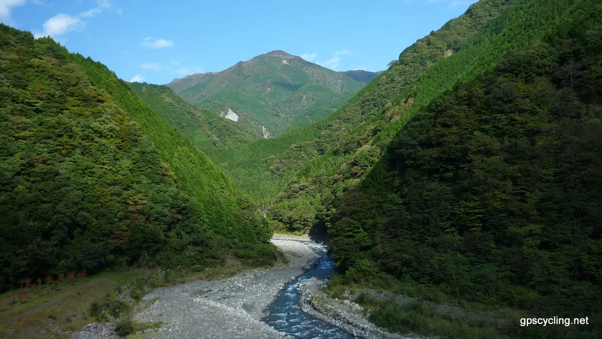
A twin-peak mountain on the Yamanashi-Shizuoka border offering views of the Southern Alps and seasonal azalea blooms.
What it is
- A twin-peak mountain bordering Yamanashi and Shizuoka Prefectures.
- The Shimo-Jūmai peak stands at 1,732 meters while Kami-Jūmai is 1,726 meters.
- Part of the Abe Higashisanryo range within Oku-Oi Prefectural Natural Park.
- Features a vertical traverse route running along the mountain ridge.
What to see
- Views of the Southern Alps from the north side of the Shimo-Jūmai peak.
- Shiroyashio azaleas blooming near Iwatake during the early summer.
- Surrounding peaks including Mount Okomiyama and Mount Hakkore.
- Natural forest landscapes protected within the prefectural park boundaries.
When to go
- Late May to early June to see the azaleas in bloom.
- Avoid the rainy season when leeches are present in the area.
20
Mount Ishiwari
YAMANASHI · PLACE 石割山
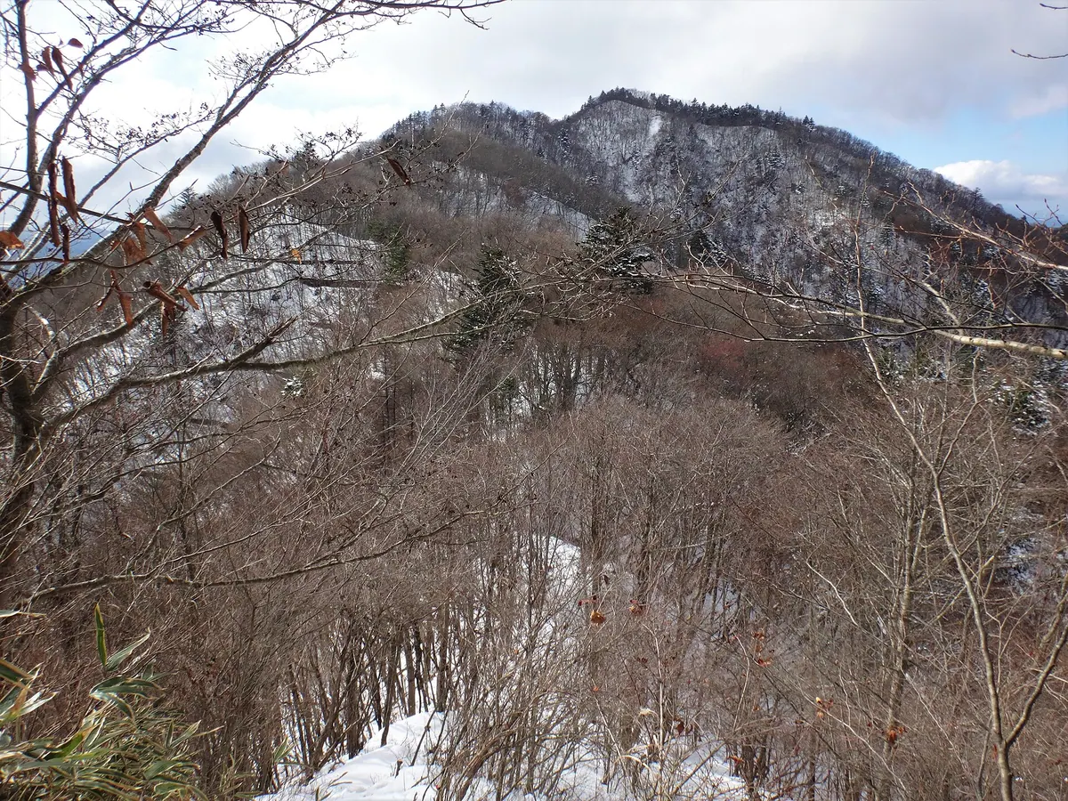
A 1,412-meter peak in the Doshi range featuring a split-rock shrine and panoramic views of Mount Fuji and Lake Yamanaka.
What it is
- A 1,412-meter mountain selected as one of the Yamanashi 100 Famous Mountains
- Home to Ishiwari Shrine located at the eighth station of the mountain
- Dedicated to the deity Amenotajikarao who is enshrined at the site
- A natural site bordering Yamanakako Village, Oshino Village, and Tsuru City
What to see
- A massive split rock approximately 15 meters high enshrouded by the shrine
- A large katsura tree standing near the shrine buildings
- Panoramic views of Mount Fuji and Lake Yamanaka from the summit
- The nearby Ishiwari no Yu hot spring located in the surrounding area
Getting there
- The trailhead is accessible from the Hirano bus stop
- A hike from the trailhead to the summit takes approximately 95 minutes