Mount Bunasawanoatama
ブナ沢ノ頭
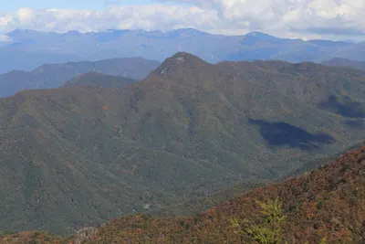
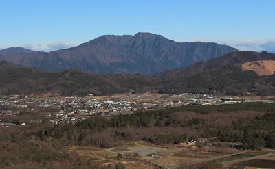
A 1,229-meter peak in the western Tanzawa Mountains offering a quiet beech forest experience on the Kanagawa and Yamanashi border.
What it is
- A mountain peak standing 1,229 meters above sea level in the western Tanzawa range.
- Part of the Koso Border Ridge on the boundary of Kanagawa and Yamanashi prefectures.
- The southern slopes are protected within the Tanzawa-Oyama Prefectural Natural Park.
- The name is derived from the nearby Buna Stream.
What to see
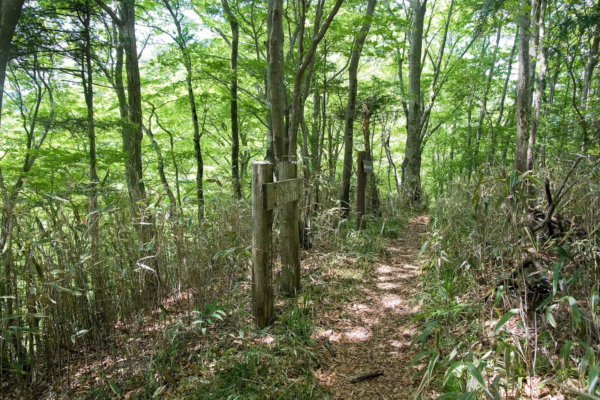
- A summit area densely covered with native beech trees.
- The Bunasawa Nokkoshi pass located 500 meters southwest of the peak.
- The Komotsuri Evacuation Hut which serves as the nearest mountain shelter.
- Unmanned mountain huts characteristic of the western Tanzawa wilderness area.
When to go
- Visit during winter to see views that are otherwise limited by foliage.
- The summit area provides shade under beech trees during the warmer months.
Notes written by Japan Gems from facts in Japanese Wikipedia.
Where it is
Mount Bunasawanoatama Open in Google Maps
この施設の関係者の方へ
このページは公開情報をもとに Japan Gems が作成し、訪日外国人向けに英語で掲載しています。 写真や情報の追加・修正を承っています。お店の写真に差し替えることもできます。
このページの情報を更新する