Kawanage Dake
皮投岳
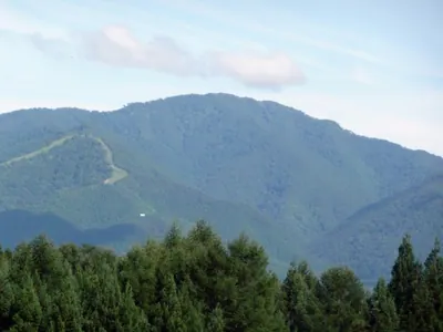
A 1,122-meter peak in the Ou Range offering a multi-mountain hiking route and rich local hunting folklore.
What it is
- A 1,122-meter mountain located on the border of Iwate and Akita prefectures.
- Part of the Ou Mountain Range and the Aogaki Mountains surrounding Kazuno Basin.
- Associated with agricultural development and legends of hunters throwing bear skins.
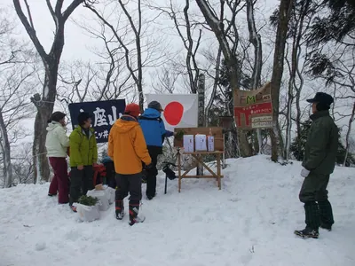
- One of three peaks included in the annual Santake Mountaineering event.
What to see
- A hiking route that connects the summit with Gonomiyadake and Mitsurayama.
- Views of a mirror-like marsh mentioned in local mountain folklore.
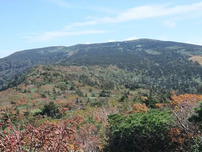
- Natural scenery along the trail from the Hanawagoe mountain pass.
When to go
- Visit during the annual Santake Mountaineering event to join local hikers.
Getting there
- The trailhead is located at Hanawagoe on the prefectural road.
- The descent route ends near the JR East Hachimantai Station.
Notes written by Japan Gems from facts in Japanese Wikipedia.
Where it is
Kawanage Dake Open in Google Maps
この施設の関係者の方へ
このページは公開情報をもとに Japan Gems が作成し、訪日外国人向けに英語で掲載しています。 写真や情報の追加・修正を承っています。お店の写真に差し替えることもできます。
このページの情報を更新する