Mount Sazae
蠑螺が岳
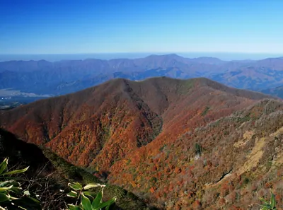
A granite mountain on the Tsuruga Peninsula offering views of a freshwater pond and historic shell-shaped rock formations.
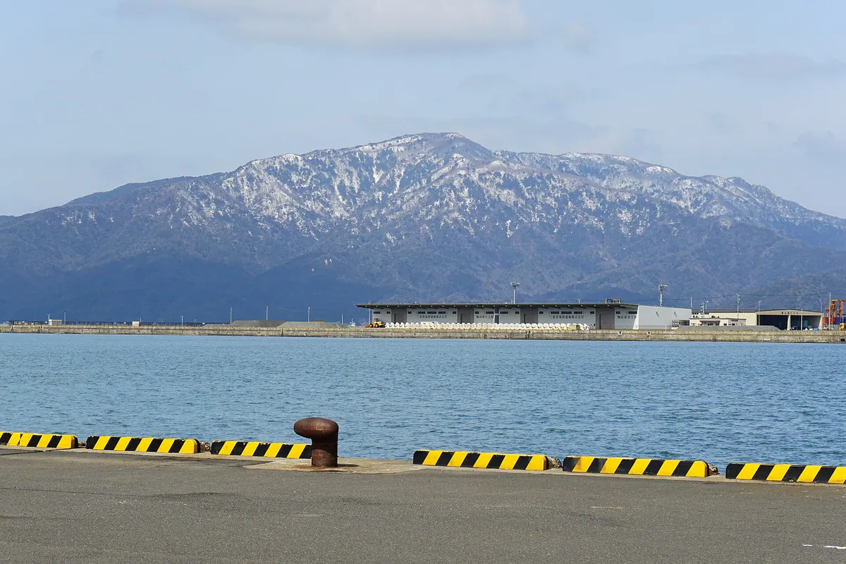
What it is
- A mountain located on the border of Tsuruga and Mihama in the northern peninsula.
- The landscape is defined by exposed weathered granite and unique shell-shaped rock formations.
- The peak was historically featured in the Edo period prints of the Tsuruga Eight Views.
- A third-class triangulation point marks the summit of the mountain.
What to see
- The freshwater pond called Igaike is visible from the mountain summit.
- A shrine dedicated to Hachidai Ryuo stands near the banks of Igaike pond.
- Large granite rocks known as Ichimai-iwa are located along the descent path.
- The mountain trail passes by a stream known as Chomeisui.
- Shell-shaped rock formations that give the mountain its name.
When to go
- Early summer is the best time to see Enkianthus flowers blooming along the ridge.
Notes written by Japan Gems from facts in Japanese Wikipedia.
Where it is
Mount Sazae Open in Google Maps
この施設の関係者の方へ
このページは公開情報をもとに Japan Gems が作成し、訪日外国人向けに英語で掲載しています。 写真や情報の追加・修正を承っています。お店の写真に差し替えることもできます。
このページの情報を更新する