Mount Amigasa
編笠山
A 2,524-meter peak in the Yatsugatake range offering rocky summit views and historic trails used since the 16th century.
What it is
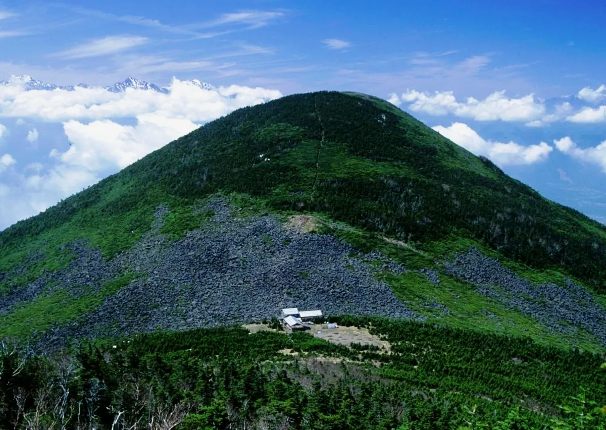
- A 2,524-meter mountain located at the southernmost end of the Yatsugatake Mountains.
- Designated as part of a quasi-national park in 1964.
- One of the Yamanashi 100 Mountains and a source for the Fuji River.
- Site of a 16th-century signal fire platform on the Noroshiba peak.
What to see
- A stone-covered summit area located above the forest limit.
- The historic Bo-michi road established by Takeda Shingen at the western foot.
- Mountain trails connecting the peak toward Mount Gongen.
- Panoramic views from the high-elevation rocky peak.
When to go
- The access road to the trailhead is closed during the winter season.
Getting there
- Climbing routes are accessible from Kobuchizawa Station and Shinano-sakai Station.
- The Kannondaira parking lot is reachable via a prefectural road.
Notes written by Japan Gems from facts in Japanese Wikipedia.
Where it is
Mount Amigasa Open in Google Maps
この施設の関係者の方へ
このページは公開情報をもとに Japan Gems が作成し、訪日外国人向けに英語で掲載しています。 写真や情報の追加・修正を承っています。お店の写真に差し替えることもできます。
このページの情報を更新する