Shigekura Dake
茂倉岳
A prominent peak in the Mikuni Range offering high-altitude hiking within the Joshin'etsu-kogen National Park and a UNESCO Biosphere Reserve.
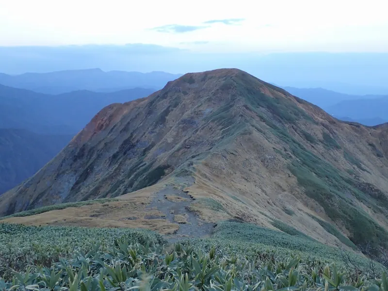
What it is
- A mountain peak situated on the border of Gunma and Niigata prefectures.
- Part of the Mikuni Mountain Range between Ichinokura Dake and Buno Dake.
- Located within the Joshin'etsu-kogen National Park and a UNESCO Biosphere Reserve.
- The Joetsu Line railway tunnels pass directly beneath the mountain mass.
What to see
- An evacuation hut located just below the mountain summit.
- Mountain views from the peak within the Uonuma Renpo Prefectural Natural Park.
- The Shigekura Shindo trail winding up from the Tsuchitaru area.
Getting there
- The summit is a seventy minute walk from Tanigawadake Okinomimi.
- The Shigekura Shindo trail begins near the Tsuchitaru Parking Area.
- The ascent from the Tsuchitaru trailhead takes over four hours.
Notes written by Japan Gems from facts in Japanese Wikipedia.
Where it is
Shigekura Dake Open in Google Maps
この施設の関係者の方へ
このページは公開情報をもとに Japan Gems が作成し、訪日外国人向けに英語で掲載しています。 写真や情報の追加・修正を承っています。お店の写真に差し替えることもできます。
このページの情報を更新する