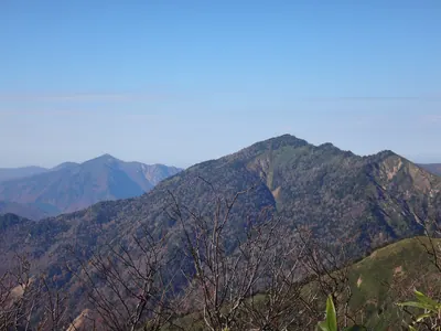
Mount Mantarō
万太郎山
A 1,956-meter peak on the Gunma-Niigata border offering high-altitude hiking within the Jōshin'etsu-kōgen National Park.
What it is
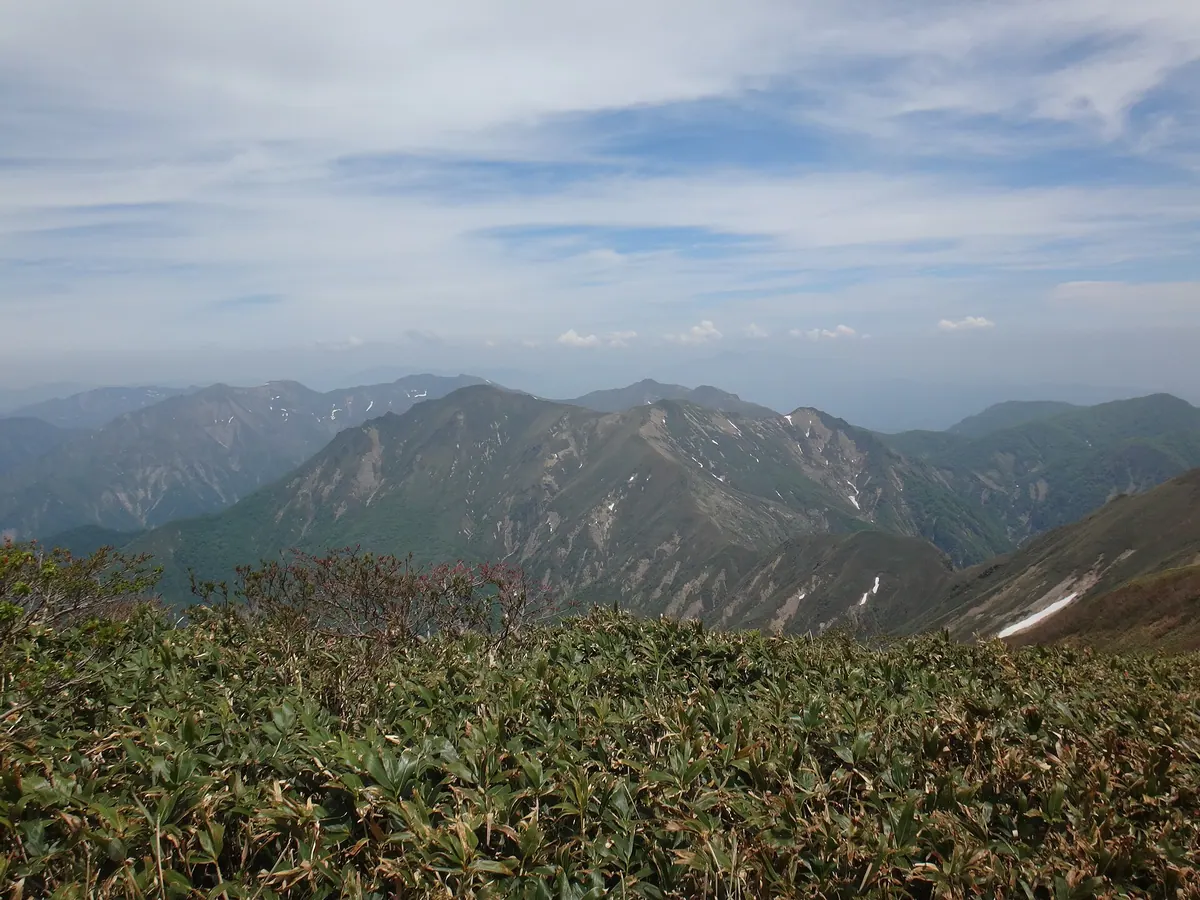
- A mountain peak reaching 1,956 meters within the Tanigawa range.
- Part of the central watershed of Japan on the Gunma and Niigata border.
- A featured stop along the Gunma Border Ridge Trail.
- Located inside the protected Jōshin'etsu-kōgen National Park.
What to see
- A ventilation tower for the Kan-etsu Tunnel located on the mountainside.
- The unmanned Daishōji emergency hut which provides shelter for hikers.
- Panoramic views from the summit situated between Mount Tanigawa and Mount Taira-hyō.
- The Gosaku Shin-do trail which leads hikers to the peak.
Getting there
- The ascent from Tsuchitaru takes approximately four hours to reach the top.
- Parking spaces are available at the Gosaku Shin-do trailhead for visitors.
Notes written by Japan Gems from facts in Japanese Wikipedia.
Where it is
Mount Mantarō Open in Google Maps
この施設の関係者の方へ
このページは公開情報をもとに Japan Gems が作成し、訪日外国人向けに英語で掲載しています。 写真や情報の追加・修正を承っています。お店の写真に差し替えることもできます。
このページの情報を更新する