Mount Saburyu
佐武流山
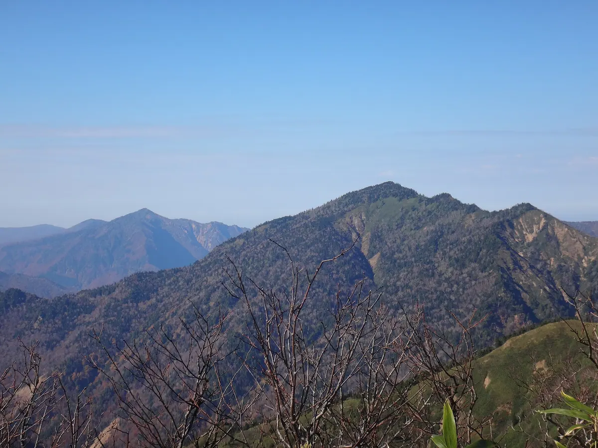
A 2,191-meter peak in Joshin'etsu-kogen National Park offering a challenging hike along the border of Nagano and Niigata.
What it is
- A 2,191-meter mountain located within the Joshin'etsu-kogen National Park.
- The highest point in both Sakae Village and Yuzawa Town.
- One of the 200 Remarkable Mountains of Japan.
- A peak named after the Saburyu River, formerly known as Nishizawadake.
What to see
- A second-class triangulation point located at the mountain summit.
- Panoramic views from the border of Nagano and Niigata Prefectures.
- A ridge trail connecting the peak to nearby Mount Naeba.
- Rugged terrain including the Hinomata River and Warusa Peak.
Getting there
- A common climbing route begins at the Kiriake Onsen trailhead.
- The trail to the summit passes through the Hinomata River area.
- Access from Mount Shirasuna is possible but difficult due to thick brush.
Notes written by Japan Gems from facts in Japanese Wikipedia.
Where it is
Mount Saburyu Open in Google Maps
この施設の関係者の方へ
このページは公開情報をもとに Japan Gems が作成し、訪日外国人向けに英語で掲載しています。 写真や情報の追加・修正を承っています。お店の写真に差し替えることもできます。
このページの情報を更新する