Mount Myōken
妙見山
A scenic peak in a Quasi-National Park featuring a historic shrine, marine fossils, and trails walked by famous Japanese explorers.
What it is
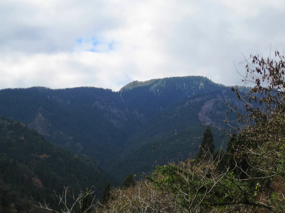
- A mountain on the border of Yabu and Kami within a Quasi-National Park.
- One of the fifty designated mountains of the Hyogo prefecture.
- Named after the Myoken Daibosatsu deity from the nearby Nikko-in Temple.
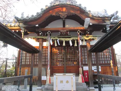
- Home to Nagusa Shrine which was established during the Meiji era.
What to see
- A large colony of skunk cabbage plants growing on the mountain slopes.
- Geological structures containing various types of ancient marine fossils.
- Hiking trails once used by famous explorers Buntaro Kato and Naomi Uemura.
- The watershed area for the Yada and Hiki rivers.
When to go
- Expect heavy snowfall across the mountain during the winter season.
Getting there
- The hike from Ishihara bus stop takes approximately three hours.
- The summit is a seventy-five minute walk from the local campsite.
Notes written by Japan Gems from facts in Japanese Wikipedia.
Where it is
Mount Myōken Open in Google Maps
この施設の関係者の方へ
このページは公開情報をもとに Japan Gems が作成し、訪日外国人向けに英語で掲載しています。 写真や情報の追加・修正を承っています。お店の写真に差し替えることもできます。
このページの情報を更新する