Mount Nagamine
長峰山 (兵庫県)
A 687-meter peak in the Rokko range offering panoramic views of Kobe City and the surrounding bays.
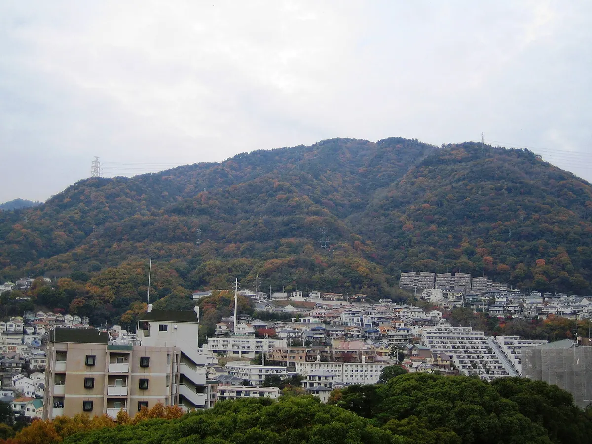
What it is
- A mountain peak standing 687.7 meters tall in the Rokko mountain range.
- A hiking destination located in the Nada Ward of Kobe City.
- A natural viewpoint overlooking the urban landscape and Osaka Bay.
What to see
- A large rock formation known as Tenguzuka situated at the summit.
- Panoramic views of Kobe City, Osaka Bay, and the Akashi Strait.
- Clear sights of the Kitan Strait and the Rokko main peak.
- Neighboring Mount Maya visible from the various trail vantage points.
Getting there
- Start the hike from Hankyu Rokko Station or Hankyu Oji-koen Station.
- The ascent to the summit takes approximately one and a half hours.
- The trail passes by Kobe Shoin Women's University and Rokko Gakuin.
- Hikers can complete the trip by walking the trails in a loop.
Notes written by Japan Gems from facts in Japanese Wikipedia.
Where it is
Mount Nagamine Open in Google Maps
この施設の関係者の方へ
このページは公開情報をもとに Japan Gems が作成し、訪日外国人向けに英語で掲載しています。 写真や情報の追加・修正を承っています。お店の写真に差し替えることもできます。
このページの情報を更新する