Mount Yajuro
弥十郎ヶ嶽
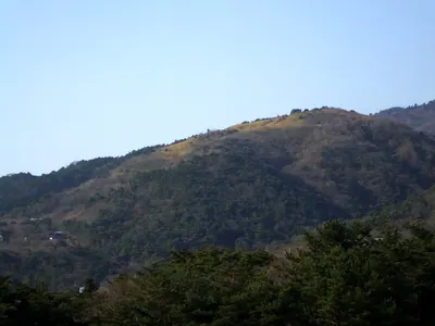
A 715-meter peak in Tanba-Sasayama featuring medieval castle ruins, a mountain cave, and panoramic views of the northern basin.
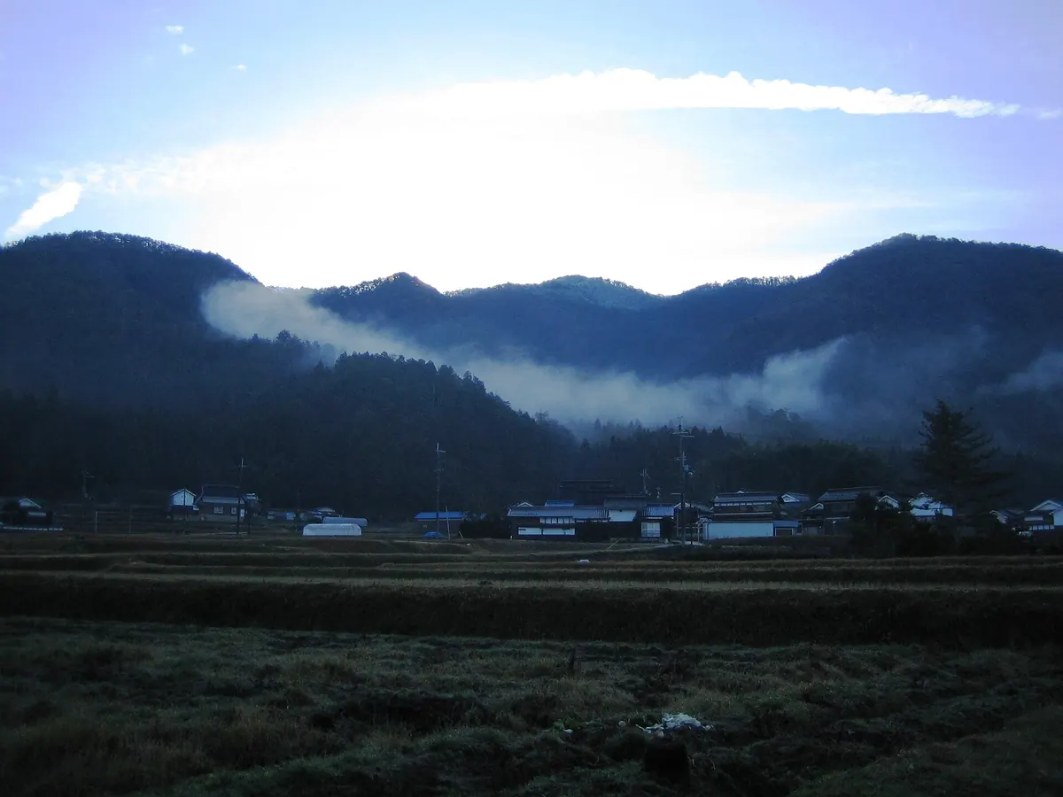
What it is
- The highest mountain in the southern Sasayama Basin at 715.1 meters.
- Site of a medieval castle known as Heinai-maru.
- A hiking destination featuring a second-class triangulation point at the summit.
What to see
- A 180-degree panoramic view looking toward the north from the peak.
- Cedar and cypress coniferous forests growing near the mountain summit.
- A cave located approximately 500 meters northwest of the summit.
- Ruins of historical stone walls at the Shijukuin site.
When to go
- Allow one to two hours for the ascent to the summit.
Getting there
- Access the trailhead by taking a bus from Ushirogawa station.
- Common climbing paths include the Taketani and Yakushigahara courses.
Notes written by Japan Gems from facts in Japanese Wikipedia.
Where it is
Mount Yajuro Open in Google Maps
この施設の関係者の方へ
このページは公開情報をもとに Japan Gems が作成し、訪日外国人向けに英語で掲載しています。 写真や情報の追加・修正を承っています。お店の写真に差し替えることもできます。
このページの情報を更新する