Mount Mikusa
三草山
A 423-meter peak in Hyogo offering historic Genpei War battle sites and panoramic views of the Akashi Kaikyo Bridge.
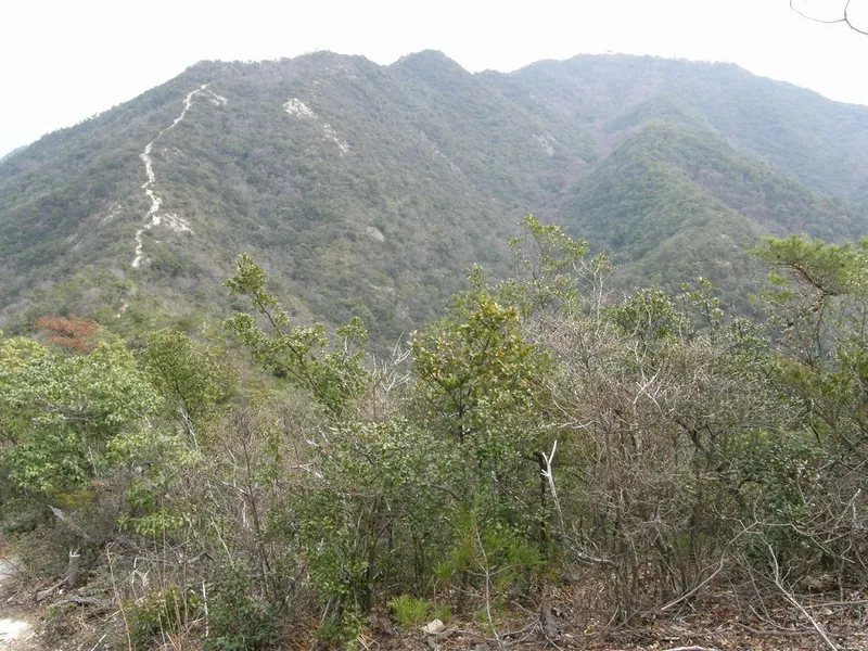
What it is
- A 423.9 meter mountain located within the Kiyomizu-Tojoko-Tachikui Prefectural Natural Park
- Site of the 1184 Battle of Mikusayama where Minamoto no Yoshitsune attacked Taira no Sukemori
- A historic peak also known by the name Harima Koguji
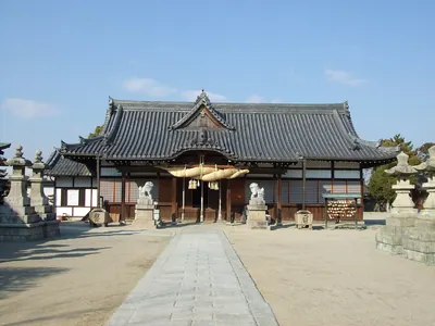
- The location of Mikusayama Shrine which sits at the mountain summit
What to see
- Mikusayama Shrine situated at the highest point of the mountain
- A copper compass rose installed at the summit in 1980
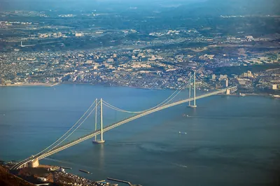
- Panoramic views of Awaji Island and the Akashi Kaikyo Bridge from the peak
- Five distinct hiking routes leading through the natural park to the summit
Getting there
- The Yamaguchi trailhead is located ten minutes from the Takino-yashiro Interchange
- The Hata climbing route takes approximately 45 minutes to reach the top
Notes written by Japan Gems from facts in Japanese Wikipedia.
Where it is
Mount Mikusa Open in Google Maps
この施設の関係者の方へ
このページは公開情報をもとに Japan Gems が作成し、訪日外国人向けに英語で掲載しています。 写真や情報の追加・修正を承っています。お店の写真に差し替えることもできます。
このページの情報を更新する