Mount Nametoko
ナメトコ山
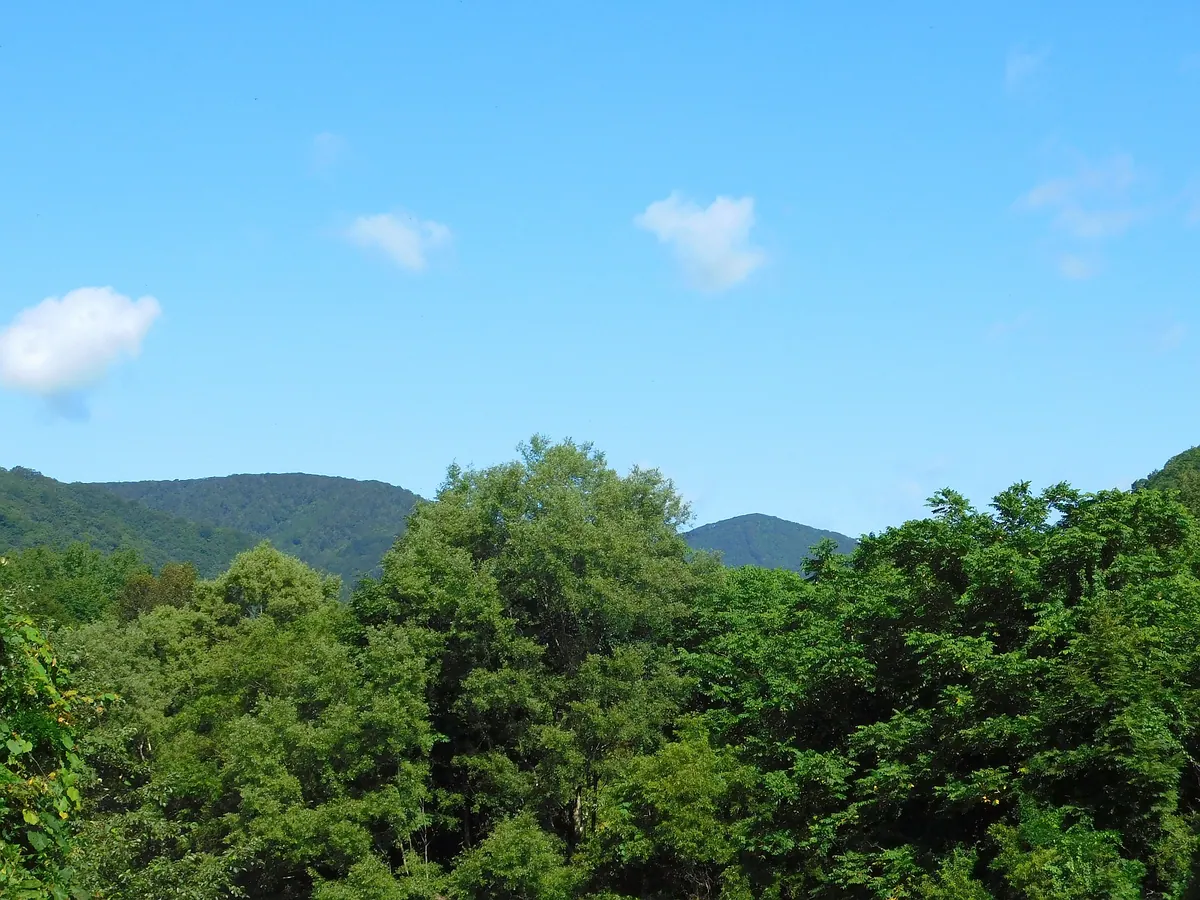
A 860-meter peak in the Ou Mountains famous for its inclusion in the literary works of Kenji Miyazawa.
What it is
- A mountain standing 860 meters above sea level in the Ou Mountain Range.
- A geographical feature located on the border of Hanamaki and Shizukuishi.
- A site featured in the literature of famous Japanese author Kenji Miyazawa.
- A peak officially added to topographical maps in 1996 after historical verification.
What to see
- An acrylic location sign identifying the ridge at Makudate Bridge.
- Views of the landscape upstream of the Toyosawa River.
- The mountain ridge as depicted on the Sugakurayama topographical map.
Getting there
- Access the mountain area via the Kitanomata Forest Road.
- Find the identification sign located at Makudate Bridge on Route 12.
Notes written by Japan Gems from facts in Japanese Wikipedia.
Where it is
Mount Nametoko Open in Google Maps
この施設の関係者の方へ
このページは公開情報をもとに Japan Gems が作成し、訪日外国人向けに英語で掲載しています。 写真や情報の追加・修正を承っています。お店の写真に差し替えることもできます。
このページの情報を更新する