Hachimantai
八幡平
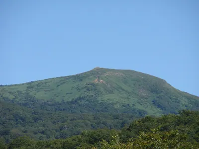
A 1,614-meter volcanic plateau in a national park featuring crater lakes, primeval forests, and unique seasonal natural phenomena.
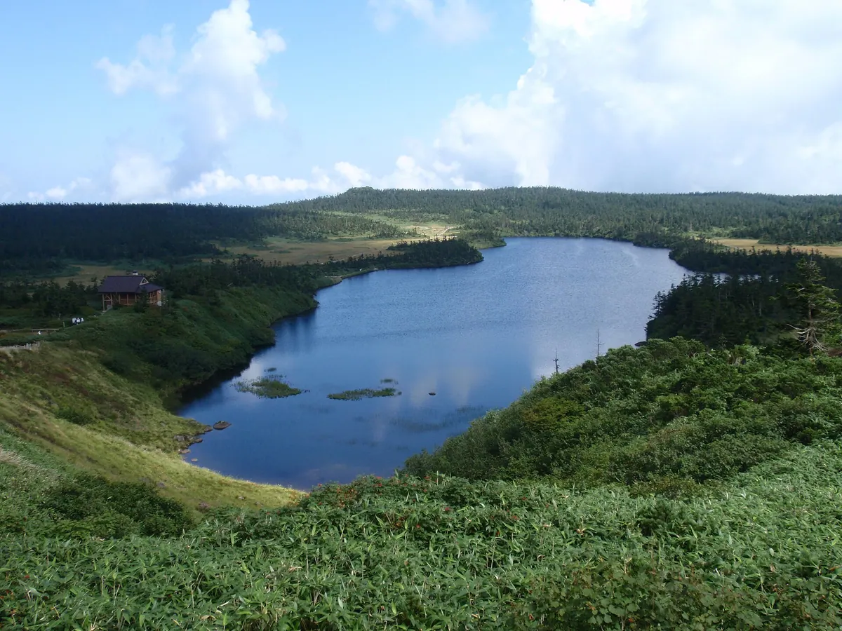
What it is
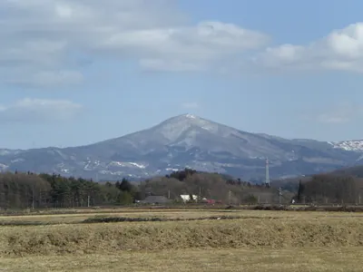
- A 1,614-meter stratovolcano with a plateau-like summit spanning Akita and Iwate prefectures.
- Designated as a national park in 1956 and a National People's Health Resort.
- The region is covered by extensive primeval forests of Maries' fir.
- The summit area contains numerous crater lakes formed by ancient steam explosions.
What to see
- A wooden observatory rebuilt at the summit in 2014 for panoramic views.
- Hachiman-numa, which is the second largest natural lake in Iwate Prefecture.
- The Hachimantai Dragon Eye phenomenon appearing at Kagami Pond.
- Japan's largest groups of frost-covered trees during the winter season.
- The Hachimantai Aspite Line road which provides scenic access through the area.
When to go
- Early summer to witness the Hachimantai Dragon Eye at Kagami Pond.
- Winter to see the large groups of frost-covered trees.
Getting there
- Seasonal buses run from Morioka, Tazawako, and Kazuno-Hanawa stations.
- Road access is available via the Hachimantai Aspite Line.
Notes written by Japan Gems from facts in Japanese Wikipedia.
Where it is
Hachimantai Open in Google Maps
この施設の関係者の方へ
このページは公開情報をもとに Japan Gems が作成し、訪日外国人向けに英語で掲載しています。 写真や情報の追加・修正を承っています。お店の写真に差し替えることもできます。
このページの情報を更新する