Kitadaitō Island
北大東島
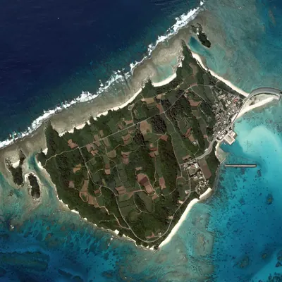
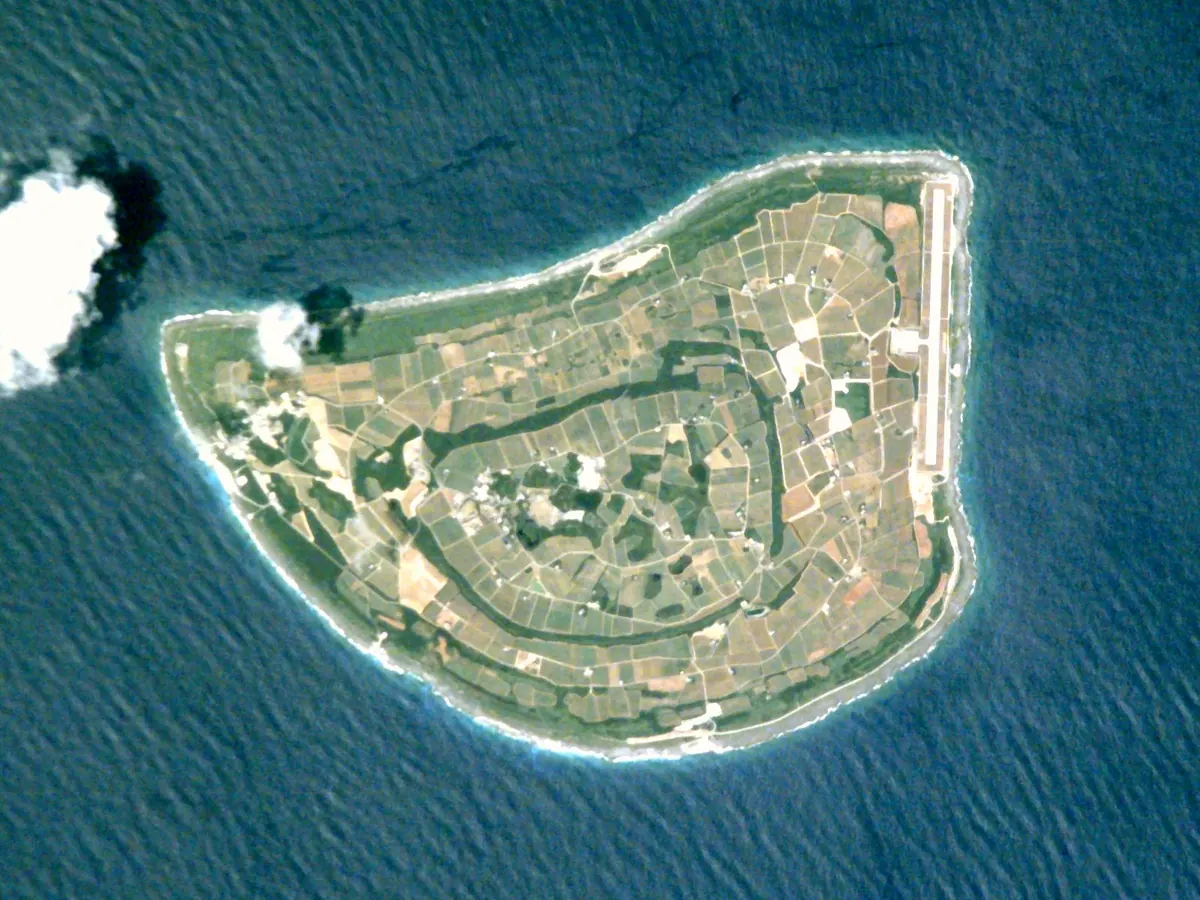
A remote raised coral atoll in Okinawa featuring unique Hachijo culture, steep coastal cliffs, and a national natural monument forest.
What it is
- A remote raised coral atoll located 360 kilometers east of Okinawa Main Island.
- The easternmost point of Okinawa Prefecture at Cape Maguro.
- A small community of approximately 650 people established as a village in 1946.
- A unique cultural site where the local dialect belongs to the Hachijo language family.
What to see
- Steep coastal cliffs surrounding the 11.93 square kilometer land area.
- The Nagamaku forest which is designated as a national natural monument.
- Cape Maguro marking the furthest eastern point of the prefecture.
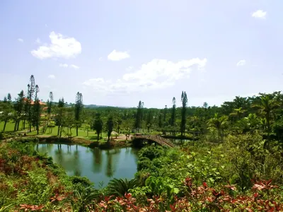
- Tropical rainforest landscapes reaching a maximum elevation of 74 meters.
Getting there
- Access the island via flights arriving at Kitadaito Airport.
- Travel to the island by boarding cargo-passenger ships.
Notes written by Japan Gems from facts in Japanese Wikipedia.
Where it is
Kitadaitō Island Open in Google Maps
この施設の関係者の方へ
このページは公開情報をもとに Japan Gems が作成し、訪日外国人向けに英語で掲載しています。 写真や情報の追加・修正を承っています。お店の写真に差し替えることもできます。
このページの情報を更新する