Lake Hibara
桧原湖
The largest lake in Urabandai, formed by a volcanic eruption, offering unique views of a submerged village and seasonal outdoor activities.
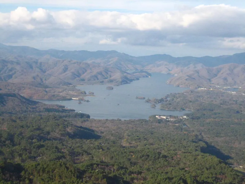
What it is
- A dammed lake in Bandai-Asahi National Park formed by the 1888 eruption of Mount Bandai.
- The largest lake in the Urabandai region measuring eighteen kilometers from north to south.
- A body of water created by a mountain collapse that submerged the former Hibara post town.
- The source of the Nagase River which flows directly into Lake Inawashiro.
What to see
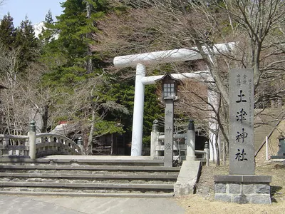
- Sunken shrine gates and gravestones that become visible when the water levels drop.
- A massive lake reaching a maximum depth of thirty-one meters surrounded by national park scenery.
When to go
- Visit in May to see or participate in the annual family cycling event around the lake.
- The winter season offers opportunities for ice fishing for smelt on the frozen surface.
Notes written by Japan Gems from facts in Japanese Wikipedia.
Where it is
Lake Hibara Open in Google Maps
この施設の関係者の方へ
このページは公開情報をもとに Japan Gems が作成し、訪日外国人向けに英語で掲載しています。 写真や情報の追加・修正を承っています。お店の写真に差し替えることもできます。
このページの情報を更新する