Mount Aonegamine
青根ヶ峰
A 858-meter peak in Yoshino-Kumano National Park featuring historic pilgrimage routes and views of the Okusenbon cherry tree groves.
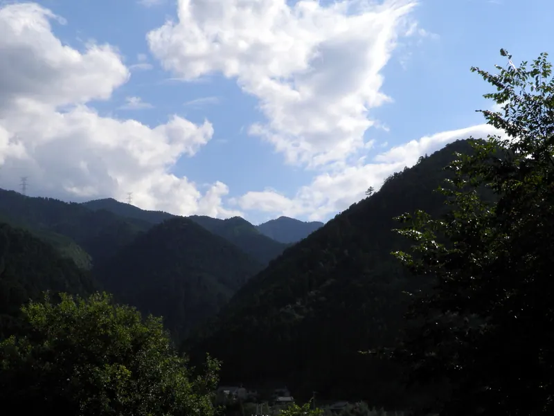
What it is
- A mountain peak standing 858 meters high on the border of Yoshino and Kawakami.
- Part of the Yoshino-Kumano National Park and historically known as Mikumariyama.
- A significant point near the Omine Okugakichi World Heritage pilgrimage route.
- The source of water flowing into the Yoshino River.
What to see
- A third-class triangulation point located at the mountain summit.
- A stone monument marking the historical women's exclusion zone at a trail junction.
- The surrounding Okusenbon area, the highest section of the Mount Yoshino cherry groves.
- Nearby historic sites including the Saigyoan Hermitage and Kimpusenshi Temple.
Getting there
- Buses run to the Okusenbon-guchi stop for direct access to the mountain trails.
Notes written by Japan Gems from facts in Japanese Wikipedia.
Where it is
Mount Aonegamine Open in Google Maps
この施設の関係者の方へ
このページは公開情報をもとに Japan Gems が作成し、訪日外国人向けに英語で掲載しています。 写真や情報の追加・修正を承っています。お店の写真に差し替えることもできます。
このページの情報を更新する