

20 Mountains in Nara worth your time
Japan Gems
31 Mountains in Nara, with what to see and how to get there.
Nara has 31 mountains on Japan Gems. Below are the 20 we can tell you the most about — each one written up in English from Japanese sources, with what to see and how to get there. See all mountains in Nara.
01
Mount Ikoma
NARA · PLACE 生駒山
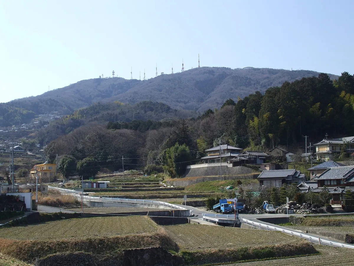
A 642-meter peak bordering Osaka and Nara featuring a summit amusement park, historic temples, and panoramic views of the Kansai region.
What it is
- A 642-meter mountain formed by a fault line bordering Nara and Osaka prefectures.
- The site of Hozanji Temple and Ikoma Taisha Shrine located on the mountainside.
- A summit area hosting the Ikomasanjo Amusement Park and regional television transmission stations.
- A geographical landmark featuring a first-class triangulation point at the peak.
What to see
- Hozanji Temple and Ikoma Taisha Shrine situated along the mountain slopes.
- Ishikiri Tsurugiya Shrine located at the foothills on the Osaka side.
- Ikomasanjo Amusement Park attractions situated at the very top of the mountain.
- Television and FM transmission towers serving the entire Kansai region.
- The first-class triangulation point marking the highest elevation.
Getting there
- The Ikoma Kokusen cable car runs directly from Ikoma Station to the mountain.
- Vehicle access is available via the Shigi-Ikoma Skyline road leading to the summit.
02
Mount Gomadan
NARA · PLACE 護摩壇山
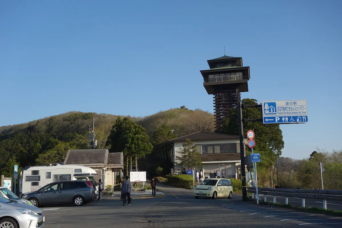
A 1,372-meter peak in the Kii Mountains offering panoramic views and historic connections to the Taira clan.
What it is
- A 1,372-meter mountain located on the border of Wakayama and Nara prefectures.
- Part of the Kii Mountain range within the Koya-Ryujin Quasi-National Park.
- The site where Taira no Koremori reportedly burned prayer sticks at the summit.
- The natural source of the Komorigawa and Furukawa rivers.
What to see
- The Gomasan Sky Tower observation deck located near the bus stop.
- Extensive forests of beech trees surrounding the mountain peak.
- Panoramic views of the Kii Mountain range from the summit area.
- Evidence of oak wilt damage visible in the forest since 2022.
When to go
- Winter travel is limited by traffic restrictions due to constant snow accumulation.
Getting there
- Buses run to the mountain from Koyasan and Kii-Tanabe stations.
- Vehicle access is available via National Route 371 near the peak.
03
Mount Hyakkai
NARA · PLACE 百貝岳
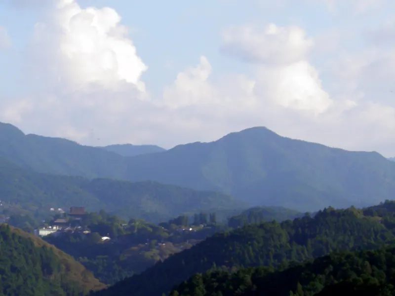
A peak in the Omine range featuring a historic temple with serpent remains and multiple hiking trails through Nara's wilderness.
What it is
- A mountain in the Omine range also known as Mount Hyakkara or Torisumi.
- One of the 100 Famous Mountains of Nara located in Kurotaki Village.
- Home to Hokaku-ji Temple, which was legendarily founded by Master Rigen Shobo.
- A site containing Torisumi Kasuga Shrine on its western slope.
What to see
- Hokaku-ji Temple, which preserves bones said to belong to a giant serpent.
- Torisumi Kasuga Shrine located along the western slope of the mountain.
- The mountain summit situated on a ridge extending west from Aone-ga-mine.
- Two distinct hiking trails leading from the temple grounds to the peak.
Getting there
- The summit is reachable on foot from Kinpu Shrine in about one hour.
- A road for cars connects Jizo Pass directly to Torisumi Kasuga Shrine.
- The peak is located less than two kilometers away from Hokaku-ji Temple.
04
Mount Nijō
NARA · PLACE 二上山
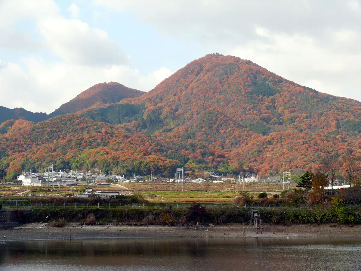
A twin-peak mountain featuring ancient shrines, the tomb of a prince, and historic cave temple sites along scenic hiking trails.
What it is
- A mountain in the northern Kongo Range consisting of two peaks named Odake and Medake.
- The historic source of Sanukite stone used for making ancient tools.
- Site of the former Nijo Castle built by the warrior Kusunoki Masashige.
- A location spanning Katsuragi City and Taishi Town with national historic cave temple sites.
What to see
- Katsuragi Nijo Shrine standing at the summit of the Odake peak.
- The tomb of Prince Otsu located near the summit of Odake.
- The Iwaya and Rokutanji cave temple sites designated as national historic sites.
- Takenouchi Kaido, an ancient road built to the south of the mountain.
When to go
- April 23rd for the traditional Takenobori rain-making ritual.
Getting there
- Hiking trails are accessible from several Kintetsu Railway stations.
05
Mount Inamura
NARA · PLACE 稲村ヶ岳
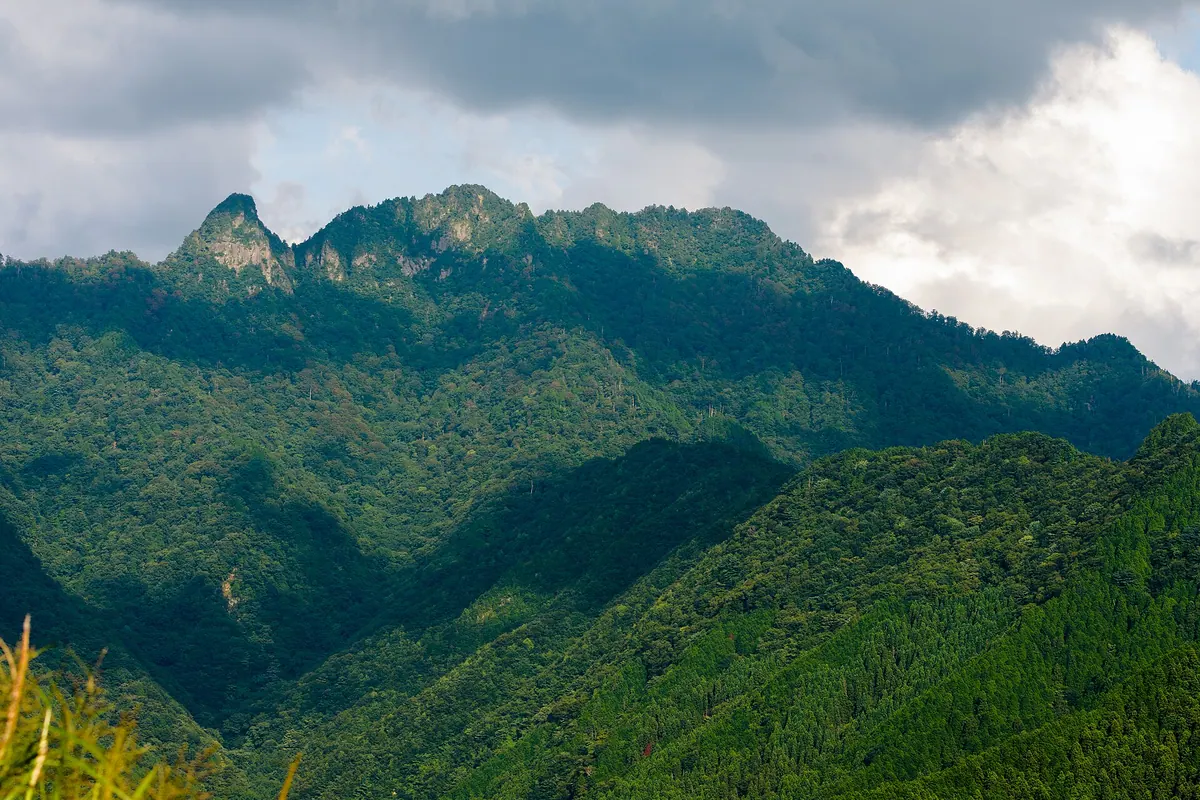
A 1,726-meter peak in the Omine Range offering panoramic views and a historic shrine dedicated to Dainichi Nyorai.
What it is
- A 1,726.1-meter mountain peak located within the Yoshino-Kumano National Park.
- Part of the Omine Mountain Range and also known as Nyoin Omine.
- A site officially opened to female climbers in 1960.
- The summit area consists of two distinct peaks named Mount Dainichi and Mount Inamura.
What to see
- A steel observation deck built on the summit for panoramic views.
- A shrine dedicated to Dainichi Nyorai located on Mount Dainichi.
- The Inamura-goya mountain hut which provides shelter for hikers.
- Vibrant rhododendrons blooming near the summit area.
When to go
- Late May to early June to see the rhododendrons in bloom.
- Late April to late November when the mountain hut is operational.
Getting there
- The trailhead is located near the Dorogawa Eco Museum Center.
06
Mount Obako
NARA · PLACE 伯母子岳
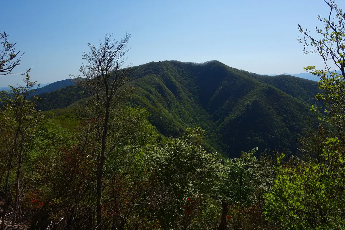
A peak in the Kii Mountains featuring virgin forests and a historic pilgrimage route used by hikers and history enthusiasts.
What it is
- One of Japan's 200 Famous Mountains located in the western Kii Mountains.
- Part of the Koya-Ryujin Quasi-National Park containing virgin fir and beech forests.
- A historic site where the Kohechi route of the Kumano Kodo passes through Obako Pass.
- Associated with the legend of Taira no Koremori living in the nearby Taira settlement.
What to see
- Panoramic views of the Omine Mountains from the summit.
- Ancient virgin forests consisting of fir, hemlock, and beech trees.
- The historic Kohechi pilgrimage path crossing through the mountain pass.
Getting there
- A climbing route begins from Omata Bridge and proceeds via Hinoki Pass.
- Access is available via a road connecting Goma-dan-zan to the Okusenjo Forest Road terminus.
- The peak is reachable by hikers traveling via Mount Kuchisenjo.
07
Mount Takami
NARA · PLACE 高見山
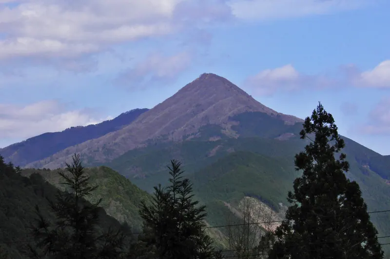
A 1,248-meter peak on the Nara-Mie border known as the Matterhorn of Kansai for its distinct shape and winter ice.
What it is
- A mountain peak reaching 1,248.9 meters at the northern end of the Daiko Mountains.
- The source of the Takami and Kushida rivers on the border of Nara and Mie.
- A site historically known as Mount Takatsuno or Mount Takamizu.
- A natural landmark situated near the Median Tectonic Line.
What to see
- Takatsuno Shrine located directly at the mountain summit.
- A beech forest that features rime ice during the winter months.
- An observatory at the top that doubles as a mountain shelter.
- The Kunimi-iwa rock formation situated near the peak.
- Panoramic views from the summit nicknamed the Matterhorn of Kansai.
When to go
- Winter is the primary season to view the rime ice on the summit trees.
Getting there
- A hiking trail begins from the Takami Pass parking lot.
08
Mount Gyōjagaeri
NARA · PLACE 行者還岳
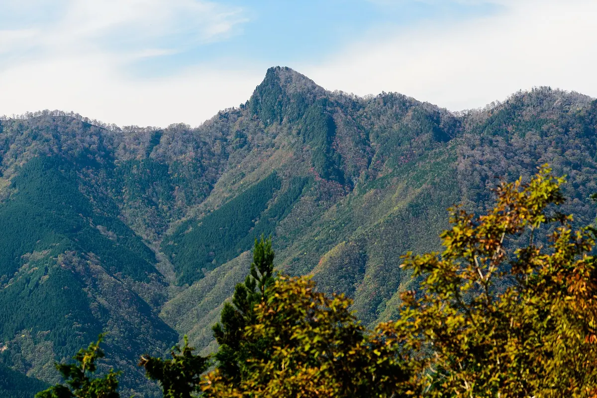
A 1,546-meter peak in Nara's Omine Range offering rugged hiking trails and a connection to ancient ascetic mountain legends.
What it is
- A 1,546-meter mountain peak located in the northern Omine Mountain Range of Nara Prefecture.
- The summit borders the mountain villages of Tenkawa and Kamikitayama.
- The name originates from a legend involving the ascetic founder En no Gyoja.
- A peak situated along the historic Omine Okugakemichi pilgrimage trail.
What to see
- The Gyojagaeri Shelter is an unmanned mountain hut located near the summit.
- Views of the surrounding Omine Mountain Range from the high elevation peak.
Getting there
- The most popular hiking route starts at the Gyojagaeri Tunnel West Exit.
- Climbing from the West Exit takes approximately 110 minutes to reach the top.
- The trail from the East Exit requires a 135-minute hike to the summit.
- A trek from Mount Misen takes three and a half hours to arrive.
09
Mount Jinpuku
NARA · PLACE 神福山
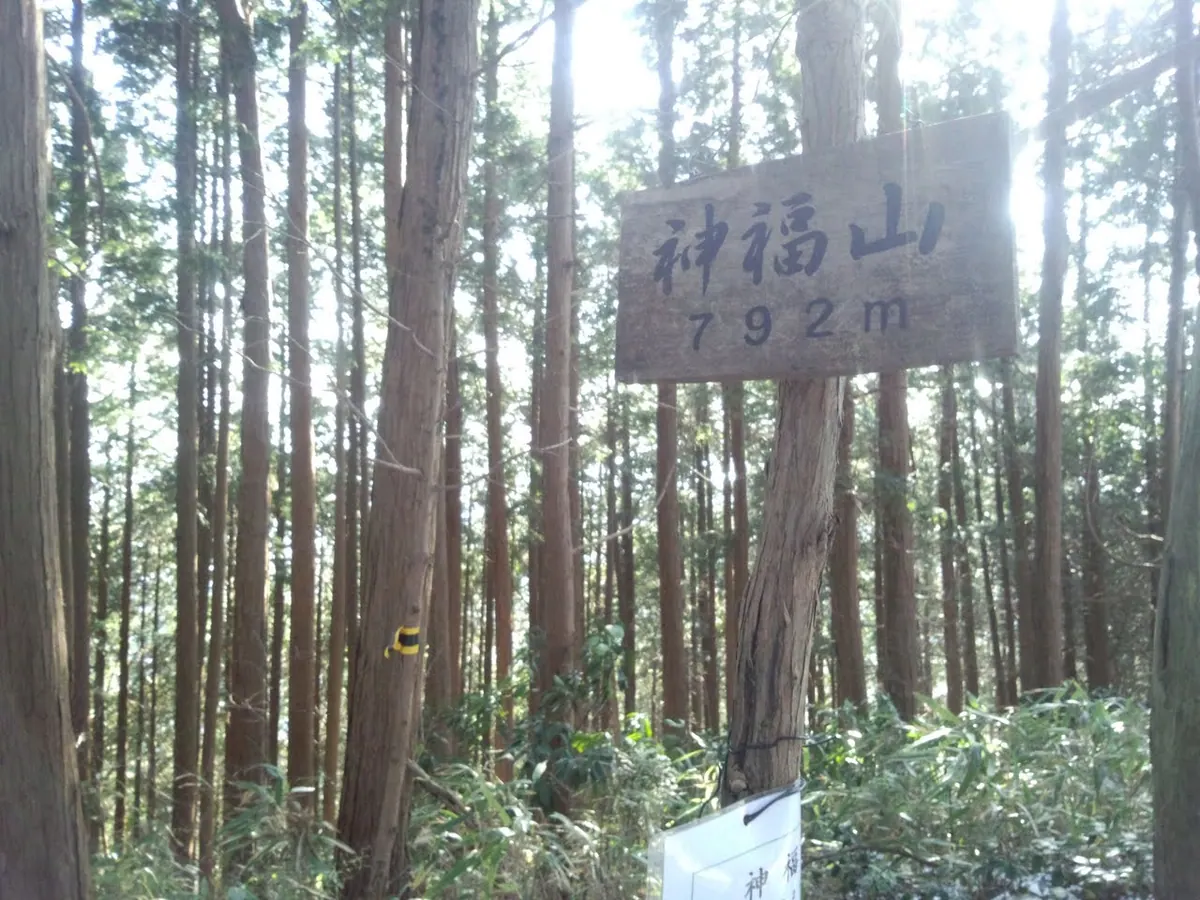
A 792-meter peak on the Osaka-Nara border featuring ancient shrine sites and ruins of a medieval fortress.
What it is
- A 792-meter mountain peak located on the border of Osaka and Nara prefectures.
- The site of the former Sasao Fortress built by the warrior Kusunoki Masashige.
- The nineteenth sutra mound of the Katsuragi 28 Stations pilgrimage route.
- One of the designated Osaka 50 Mountains within the Kongō Range.
What to see
- The Sasao Shrine and a small stone祠 located at the summit.
- Historical ruins of the Sasao Fortress structures.
- The Takama Satao Shrine situated at the mountain peak.
- A side path leading to the summit from the main Diamond Trail.
Getting there
- Accessible via hiking trails starting from Kimi-toge Station.
- Trail access is available for hikers traveling from Kawachi-Nagano Station.
- The summit is reached by a side path branching off the Diamond Trail.
10
Mount Mimuro
NARA · PLACE 三室山

A historic 82-meter hill and park in Nara featuring a memorial pagoda, seasonal foliage, and views of the Tatsuta River.
What it is
- A small mountain with an elevation of 82 meters located in Ikaruga Town.
- Developed into a public park in 1957 as part of Tatsuta Prefectural Park.
- Also known by the names Mount Kannabi or Mount Mimoro.
- A site associated with deities from Asuka enshrined at the nearby Kamitake Shrine.
What to see
- A 1.9 meter stone pagoda serving as a memorial tower for the monk Noin.
- The Tatsuta River which flows near the base of the mountain.
- Extensive groves of cherry blossom trees and maple trees.
- The summit area offering views from the memorial pagoda site.
When to go
- Spring for the blooming of the cherry blossoms.
- Autumn to see the changing colors of the maple leaves.
Getting there
- A five minute walk from the Mimuro-yamashita bus stop.
11
Mount Ōmine
NARA · PLACE 大峰山
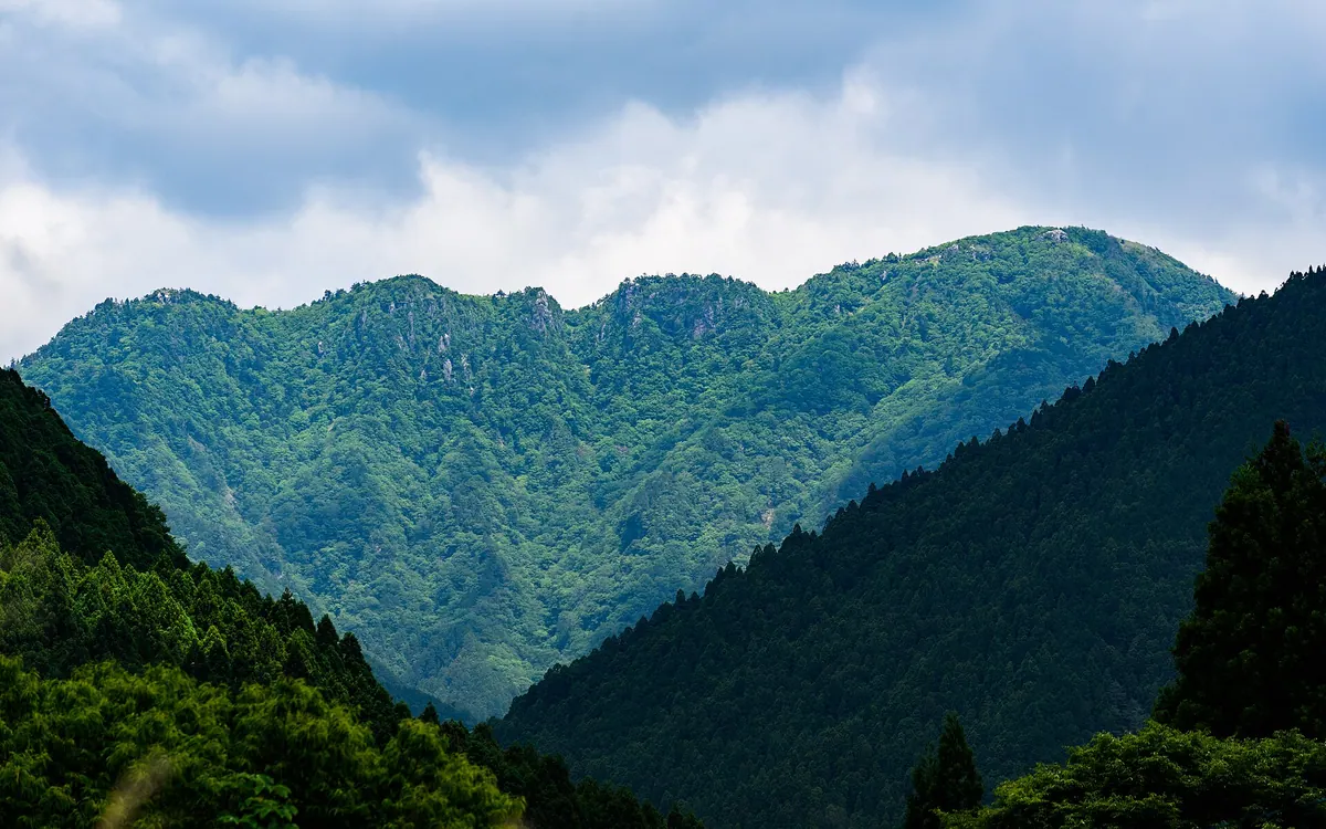
A sacred World Heritage mountain and Shugendo training site famous for its ancient pilgrimage routes and traditional gender restrictions.
What it is
- A sacred mountain in southern Nara Prefecture opened by En no Gyoja during the Asuka period
- A major training center for Shugendo practitioners and part of a UNESCO World Heritage site
- The highest peak in the Kinki region reaching an elevation of 1,915 meters
- A destination listed among the 100 Famous Japanese Mountains within a national park
What to see
- The Omine Okugakemichi pilgrimage route which connects the regions of Yoshino and Kumano
- Ominesan-ji Temple located at the summit where Buddhist sutras were buried in 1007
- Mount Sanjo-ga-take which maintains a traditional ban on women entering the area
- Inamuragatake known as Women's Omine which provides an alternative peak for female climbers
- The site where two gold Buddha statues were discovered during excavations in 1984
12
Mount Miune
NARA · PLACE 三峰山
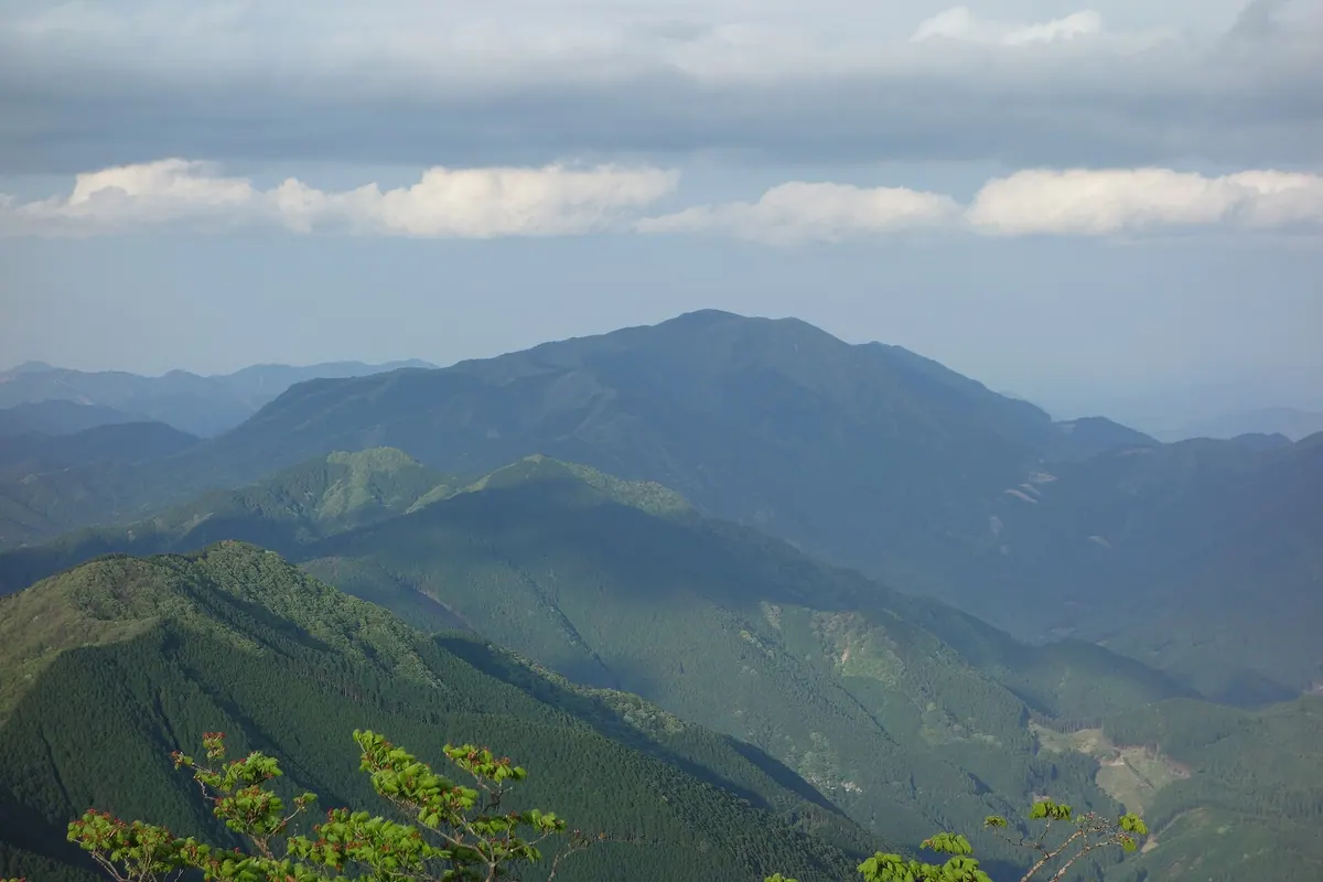
A 1,235-meter peak in the Takami Mountains famous for winter rime ice and spring azaleas along historic pilgrimage trails.
What it is
- A peak within the Takami Mountains recognized as one of Japan's 300 Famous Mountains.
- The summit features a first-class triangulation point known as Miuneyama.
- The climbing route follows a portion of the former Ise Pilgrimage Road.
- An evacuation hut provides shelter for hikers at an elevation of 1,090 meters.
What to see
- Hatchodaira is a scenic bamboo grassland located on the southern slope.
- Fudo Waterfall is a natural landmark situated along the mountain trail.
- Mune Pass offers a specific vantage point for observing winter ice formations.
- Yashio azaleas provide seasonal color across the mountain landscape.
When to go
- Visit in May to see the Yashio azaleas in bloom.
- Winter is the primary season to observe rime ice formations on the trees.
13
Mount Wakakusa
NARA · PLACE 若草山
A 342-meter mountain in Nara Park offering panoramic views, ancient burial mounds, and a famous annual fire festival.
What it is
- A 342-meter mountain located at the eastern end of Nara Park.
- A natural site also known as Mount Mikasa consisting of three distinct levels.
- A protected area where deer help maintain the native Noshiba grass growth.
- The site of the Uguisuzuka Kofun burial mound located at the summit.
What to see
- Slopes covered in native grass and three separate mountain peaks.
- The ancient Uguisuzuka Kofun burial mound at the top of the mountain.
- A recognized landmark night view overlooking the city from the summit.
- Wild deer grazing across the open grassy slopes.
When to go
- The annual mountain burning festival held every January.
- Hiking trails are open to visitors from March through December.
- Evening visits for the landmark night view from the summit.
- Official site
- www.pref.nara.jp
14
Mount Miwa
NARA · PLACE 三輪山
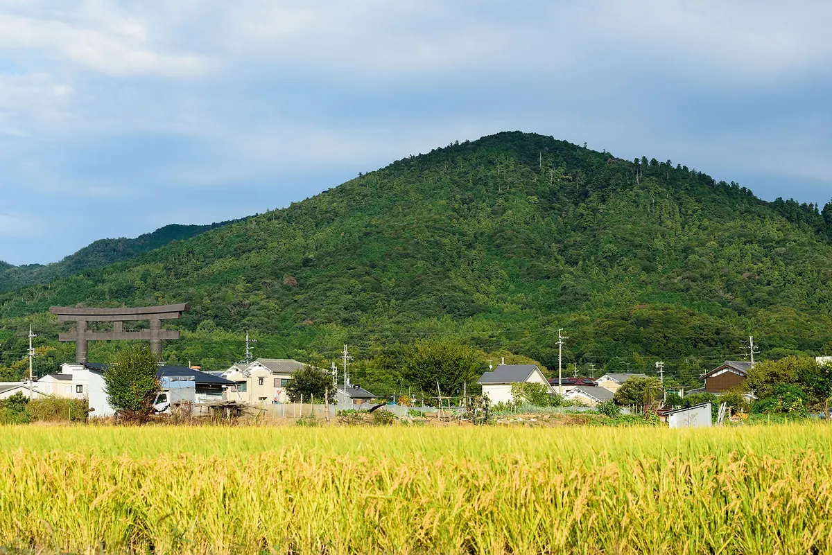
A sacred mountain in Nara serving as the deity's body, offering a spiritual hike through ancient, protected forests.
What it is
- A conical mountain standing 467 meters tall in Sakurai, Nara Prefecture.
- The sacred body of Omiwa Jinja, which has no main hall because the mountain is worshipped.
- The enshrined home of the deity Omononushi-no-Okami.
- A historically restricted site that was once closed to everyone except priests and monks.
What to see
- Omiwa Jinja located at the western foot of the mountain.
- Three major rock formations known as Iwakura situated on the slopes.
- Hibara Shrine, a subsidiary shrine found at the western base.
- Dense forests consisting of large pine, cedar, and cypress trees.
When to go
- Visitors must obtain permission at Sai Shrine before attempting to climb the mountain.
- Photography, eating, and smoking are strictly prohibited during the visit.
15
Mount Misen
NARA · PLACE 弥山
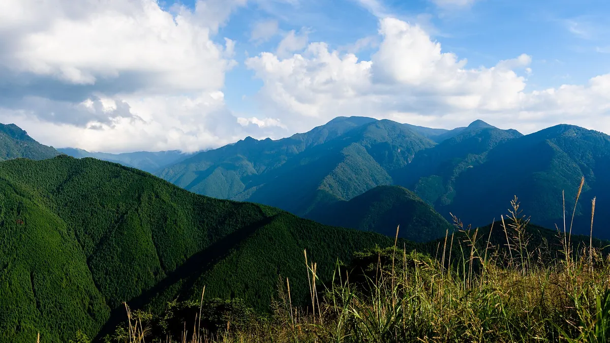
A sacred 1895-meter peak in Nara featuring a historic shrine, mountain hut, and rare summer flowers along a pilgrimage route.
What it is
- A 1895-meter peak located within the Yoshino-Kumano National Park in Tenkawa Village.
- The 54th training site along the historic Omine Okugakudo pilgrimage route.
- Home to Misen Shrine, the inner sanctuary for the Tenkawa Daibenzaiten.
- A mountain that has been open to female climbers since after World War II.
What to see
- The Misen Hut, originally constructed in 1957 for mountain travelers.
- A long and flat terrain surrounding the mountain summit area.
- The upper Misen River, which is a designated Nara Prefecture natural monument.
- Rare Ooyamarenge flowers blooming on the mountain slopes.
When to go
- Early July to see the blooming Ooyamarenge flowers.
- Summer months to enjoy the cool average annual temperature of eight degrees Celsius.
16
Mount Takayasu
NARA · PLACE 高安山
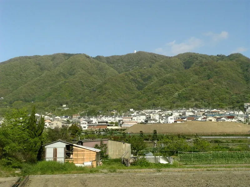
A 487-meter peak on the Osaka-Nara border featuring ancient castle history, a weather station, and accessible hiking trails.
What it is
- A mountain standing 487.5 meters tall on the border of Osaka and Nara.
- The site of Takayasu Castle which was originally built during the Asuka period.
- A natural landmark also known by the name Mount Hachibuse.
- A peak located within Yao City that now hosts a weather radar station.
What to see
- A weather radar station situated near the mountain summit.
- The Shigi Ikoma Skyline road passing through the eastern side of the mountain.
- Panoramic views from the summit overlooking the surrounding Osaka and Nara prefectures.
Getting there
- Access the peak via the Nishi-Shigi Cable Line.
- Start your journey from Takayasu Station to reach the mountain area.
- Follow multiple hiking routes that connect local train stations directly to the peak.
17
Mount Daifugen
NARA · PLACE 大普賢岳
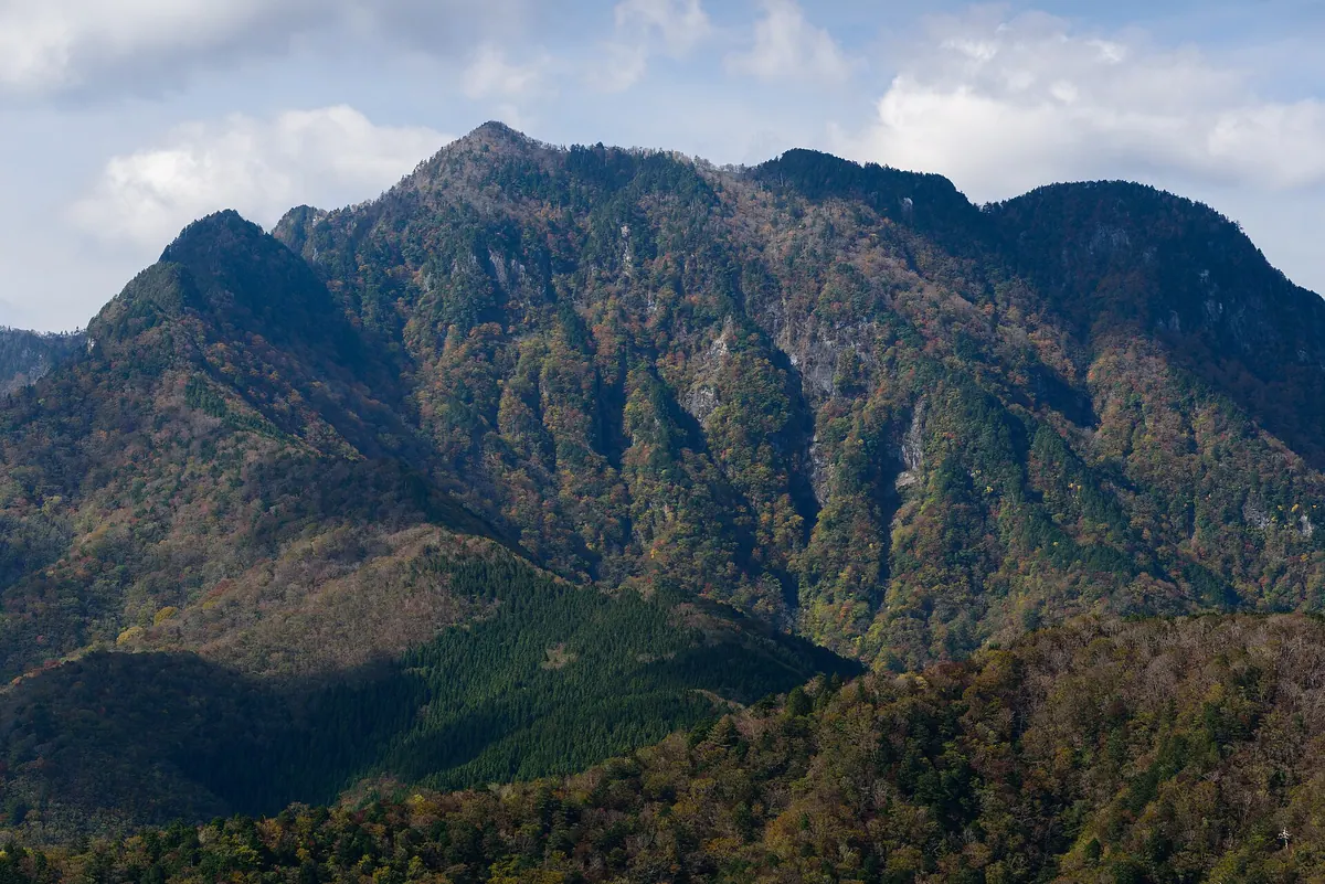
A 1,779-meter peak in Nara used for Shugendo training, featuring steep climbs with chains and ancient forest views.
What it is
- A 1779.9-meter peak located in the Omine Mountains of Nara Prefecture.
- A sacred training ground for Shugendo practitioners on the Omine Okugakemichi pilgrimage route.
- A mountain formerly managed by the now-abandoned village of Amagase.
- A rugged landscape featuring native forests of beech and oak trees.
What to see
- The Sho-no-Iwaya cave used for ascetic training on the mountain slopes.
- Ladders and chains installed for climbers between the cave and the summit.
- A small summit area that accommodates approximately ten people at once.
- The ridge path connecting the peak toward Mount Hakkyo.
- The Wasamata Hutte facility which reopened for visitors in October 2023.
Getting there
- A common climbing route starts from the Wasamata area.
18
Mount Ryūmon
NARA · PLACE 竜門岳

A historic peak in Nara featuring temple ruins, a legendary cave, and panoramic views of the surrounding mountain ranges.
What it is
- The main peak of the Ryumon range bordering Uda City and Yoshino Town.
- A member of the 300 Famous Japanese Mountains serving as a major river watershed.
- The site of the Ryumon-ji Temple ruins located on the mountainside.
- A spiritual summit featuring a shrine dedicated to the deity Takamimusubi no Kami.
What to see
- A cave used by Kume no Sennin situated near the Ryumon Falls.
- A stone monument inscribed with a Matsuo Basho haiku near Hoso Pass.
- Views of Mount Katsuragi and Mount Kongo from the mountain summit.
- A first-class triangulation point marking the highest point of the peak.
Getting there
- One climbing route begins at the Yoshino Yamaguchi Shrine.
- A northern approach to the summit starts from Fudo Falls in Sakurai.
19
Mount Azami
NARA · PLACE 薊岳
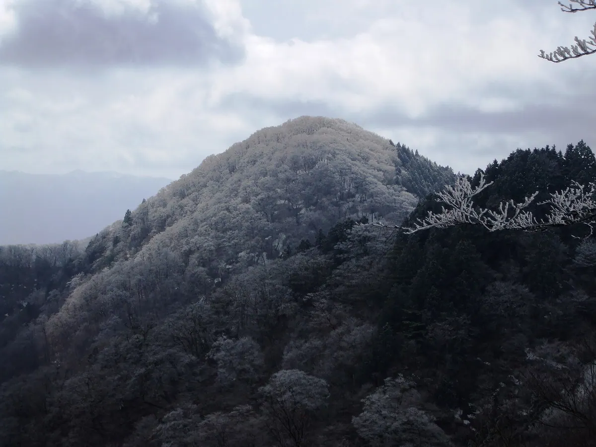
A 1,406-meter peak in the Daiko Range offering scenic hiking trails through a protected 124-hectare wildlife area.
What it is
- A mountain peak standing 1,406 meters tall in the Daiko Mountain Range.
- One of the Kinki 100 Famous Mountains and Nara 100 Famous Mountains.
- A protected wildlife area covering 124 hectares of natural terrain.
- A hiking destination located between Kawakami and Higashiyoshino villages.
What to see
- Panoramic views from the summit across the Daiko Mountain Range.
- Diverse local flora and fauna within the designated wildlife protection area.
- The Kinomiyazuka trailhead situated on the south side of the mountain.
- A mountain ridge trail connecting the peak to the Myojindaira area.
Getting there
- Access the summit via the Kinomiyazuka trailhead on the south side.
- Note that the Mugitani Jizo road is currently closed to all traffic.
20
Mount Aonegamine
NARA · PLACE 青根ヶ峰
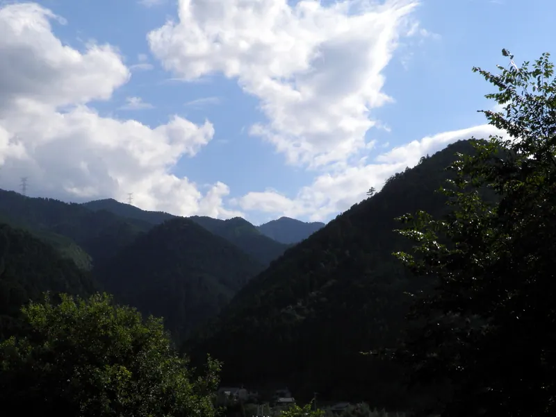
A 858-meter peak in Yoshino-Kumano National Park featuring historic pilgrimage routes and views of the Okusenbon cherry tree groves.
What it is
- A mountain peak standing 858 meters high on the border of Yoshino and Kawakami.
- Part of the Yoshino-Kumano National Park and historically known as Mikumariyama.
- A significant point near the Omine Okugakichi World Heritage pilgrimage route.
- The source of water flowing into the Yoshino River.
What to see
- A third-class triangulation point located at the mountain summit.
- A stone monument marking the historical women's exclusion zone at a trail junction.
- The surrounding Okusenbon area, the highest section of the Mount Yoshino cherry groves.
- Nearby historic sites including the Saigyoan Hermitage and Kimpusenshi Temple.
Getting there
- Buses run to the Okusenbon-guchi stop for direct access to the mountain trails.