Mount Azegamaru
畦ヶ丸
A 1,293-meter peak in Tanzawa-Oyama Quasi-National Park featuring dense forests, waterfalls, and scenic ridge trails for hikers.
What it is
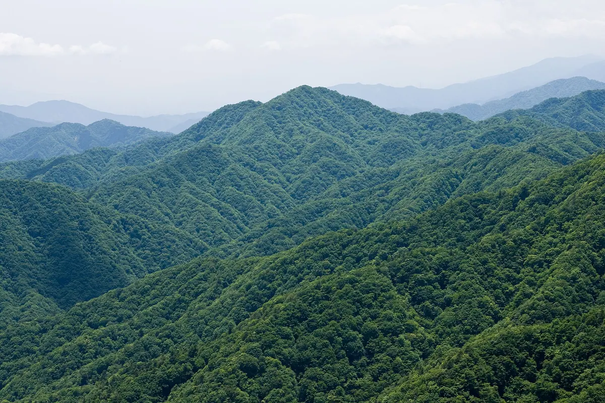
- A 1,293-meter mountain located within the Tanzawa-Oyama Quasi-National Park.
- A source of rainwater for the Sakawa River system in Kanagawa Prefecture.
- A peak likely named after the abundance of local andromeda shrubs.
- A key point along the long-distance Tokai Nature Trail.
What to see
- Hondana Falls, a 70-meter waterfall situated on the eastern slope.
- Summit forests consisting of beech, oak, and maple trees.
- A stone monument and a third-class triangulation point at the peak.
- The Azegamaru Evacuation Hut located near the summit at 1,275 meters.
- The Ikenya Evacuation Hut standing at the Onishi-zawa stream junction.
When to go
- Mid-May to early June to see azaleas blooming along the ridges.
Getting there
- Take a bus from Shin-Matsuda Station to the Nishi-Tanzawa Visitor Center.
Notes written by Japan Gems from facts in Japanese Wikipedia.
Where it is
Mount Azegamaru Open in Google Maps
この施設の関係者の方へ
このページは公開情報をもとに Japan Gems が作成し、訪日外国人向けに英語で掲載しています。 写真や情報の追加・修正を承っています。お店の写真に差し替えることもできます。
このページの情報を更新する