Mount Chōkai
鳥海山
An active volcano and National Historic Site offering alpine flora and a summit shrine on Tohoku's second highest peak.
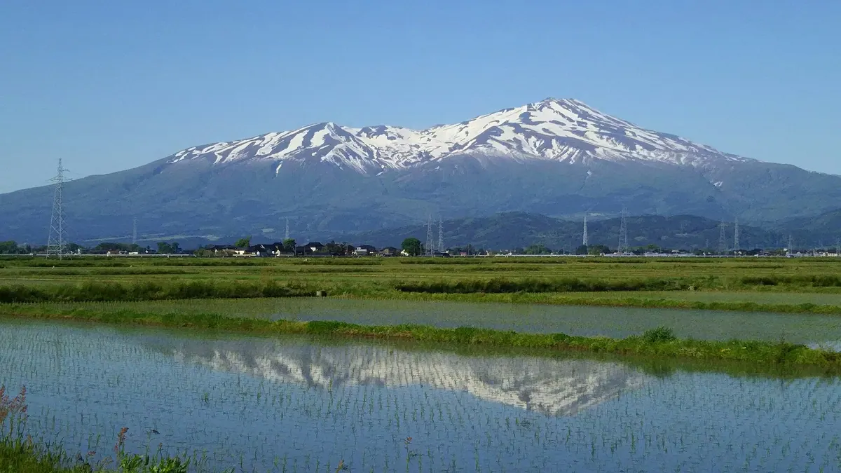
What it is
- An active volcano standing 2,236 meters high on the border of Yamagata and Akita.
- The second highest peak in the Tohoku region and a member of 100 Famous Japanese Mountains.
- A designated National Historic Site within the Chōkai Quasi-National Park.
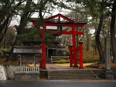
- Home to the Chōkai-san Omonoimi Shrine located at the mountain summit.
What to see
- The Shinzan lava dome created during a volcanic eruption in 1801.
- Endemic plant species including the Chōkai-azami and Chōkai-fusuma flowers.
- Evidence of a major volcanic collapse that occurred in 466 BC.
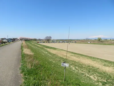
- Panoramic views from the highest peak located in Yuza town.
Getting there
- The mountain is accessible to visitors via the Chōkai Blue Line road.
Notes written by Japan Gems from facts in Japanese Wikipedia.
Where it is
Mount Chōkai Open in Google Maps
この施設の関係者の方へ
このページは公開情報をもとに Japan Gems が作成し、訪日外国人向けに英語で掲載しています。 写真や情報の追加・修正を承っています。お店の写真に差し替えることもできます。
このページの情報を更新する