Mount Dokakunoatama
同角ノ頭
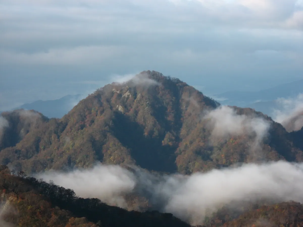
A 1,491-meter peak in the Tanzawa Mountains known for its unique name and location within a scenic quasi-national park.
What it is
- A mountain standing 1,491 meters tall in the western Tanzawa Mountains.
- Part of the Tanzawa-Oyama Quasi-National Park in Yamakita Town.
- Originally called Mount Ogiri by villagers and named after serow horns by hunters.
- The current name resulted from an error on a climber's map.
What to see
- Views of the surrounding peaks including Mount Ishigoya and Mount Oishi.
- The ridge trail located south of Mount Hinokiboramaru.
- Natural landscapes managed by the Nature Conservation Center.
When to go
- The ridge trail is currently closed as of 2025.
- Access via Genkura Forest Road is blocked due to a collapse.
Notes written by Japan Gems from facts in Japanese Wikipedia.
Where it is
Mount Dokakunoatama Open in Google Maps
この施設の関係者の方へ
このページは公開情報をもとに Japan Gems が作成し、訪日外国人向けに英語で掲載しています。 写真や情報の追加・修正を承っています。お店の写真に差し替えることもできます。
このページの情報を更新する