Mount Eboshi
烏帽子岳
A 2,194-meter peak in the Kiso Mountains offering panoramic views of the Southern Alps and the Ina Valley.
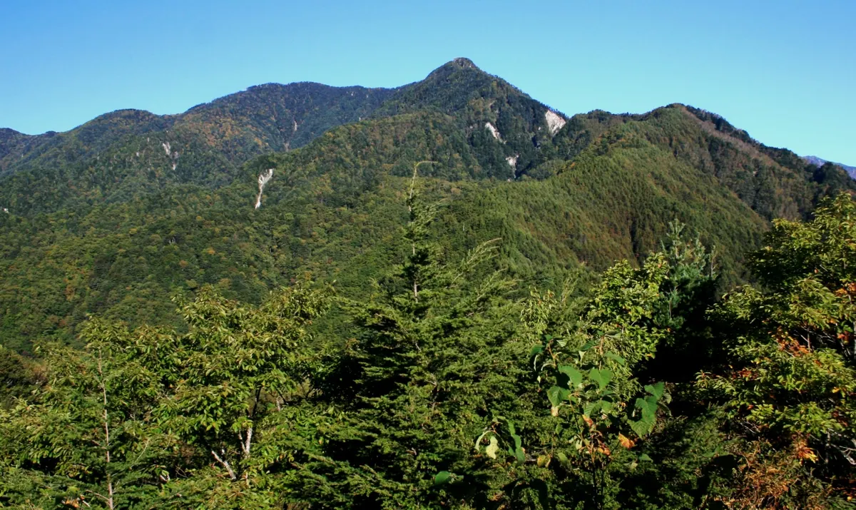
What it is
- A 2,194-meter mountain located within the Kiso Mountain Range.
- The peak stands on a ridge extending southeast from Mount Okunenjo.
- The official name was changed from Eboshigatake to Eboshidake in 2001.
- Source of the Yotagiri River and the Katagiri Matsukawa River.
What to see
- Views of the Southern Alps across the Ina Valley from the summit.
- Mountain trails maintained by local volunteers who clear bamboo grass annually.
- A climbing route that continues along the ridge to Mount Nenjo.
- The confluence where the Matsukawa and Iijima climbing routes merge near the top.
Getting there
- The Matsukawa climbing route begins at Hatouchi Pass.
- The Iijima climbing route starts from Iijima Town.
Notes written by Japan Gems from facts in Japanese Wikipedia.
Where it is
Mount Eboshi Open in Google Maps
この施設の関係者の方へ
このページは公開情報をもとに Japan Gems が作成し、訪日外国人向けに英語で掲載しています。 写真や情報の追加・修正を承っています。お店の写真に差し替えることもできます。
このページの情報を更新する