Mount Eboshi
烏帽子岳
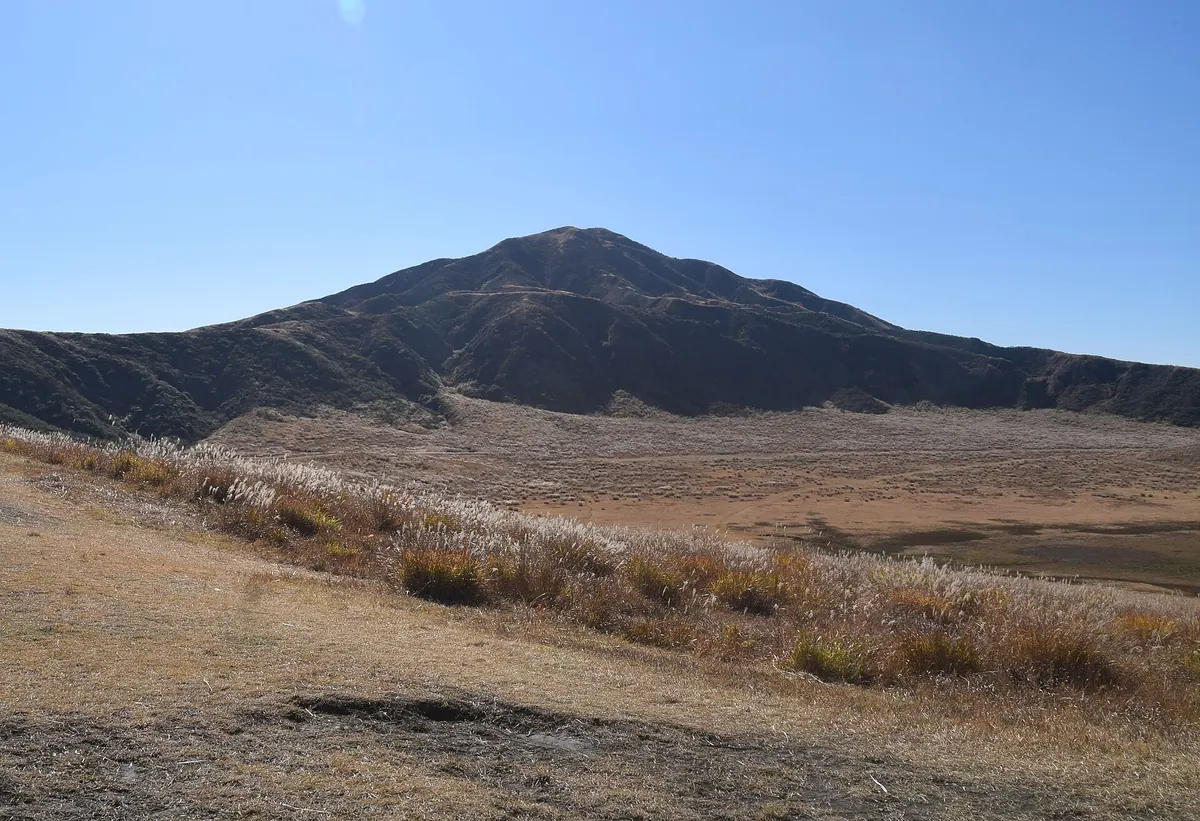
A 1,337-meter stratovolcano in the Aso Caldera offering hiking trails with views of active volcanic smoke and the Kumamoto Plain.
What it is
- The fourth highest peak among the Aso Five Mountains in western Kumamoto.
- A stratovolcano standing 1,337 meters above sea level at the western end of Aso.
- A mountain also known as Kunimiyama featuring a first-class triangulation point at the summit.
- A triangular peak located four and a half kilometers from Mount Taka.
What to see
- Volcanic smoke rising from nearby Mount Nakadake visible from the hiking trails.
- The triangular silhouette of the mountain peak as viewed from the Kumamoto Plain.
- Hiking routes spanning both the eastern and western sides of the volcano.
Getting there
- Hiking trails begin directly at the Kusasenrigahama public bus terminal.
Notes written by Japan Gems from facts in Japanese Wikipedia.
Where it is
Mount Eboshi Open in Google Maps
この施設の関係者の方へ
このページは公開情報をもとに Japan Gems が作成し、訪日外国人向けに英語で掲載しています。 写真や情報の追加・修正を承っています。お店の写真に差し替えることもできます。
このページの情報を更新する